Castiglion Fiorentino with bicycle

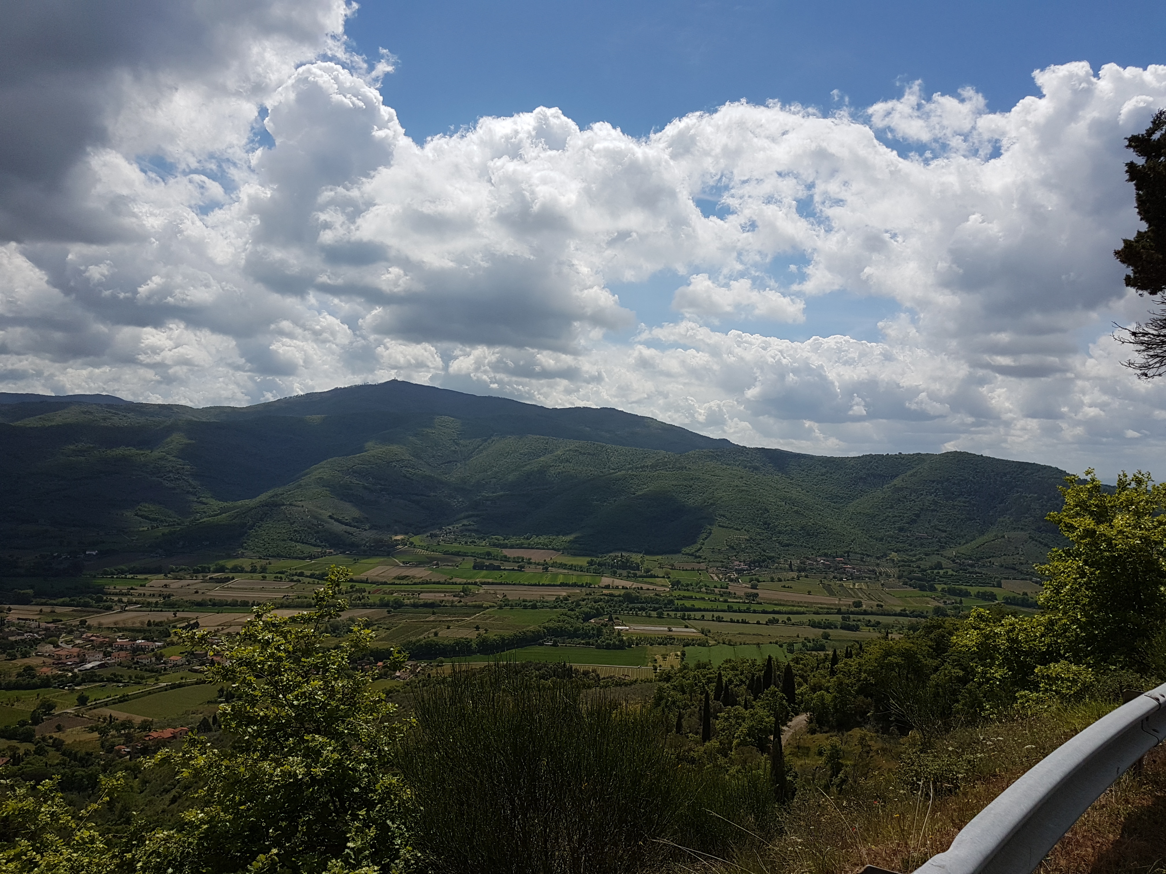
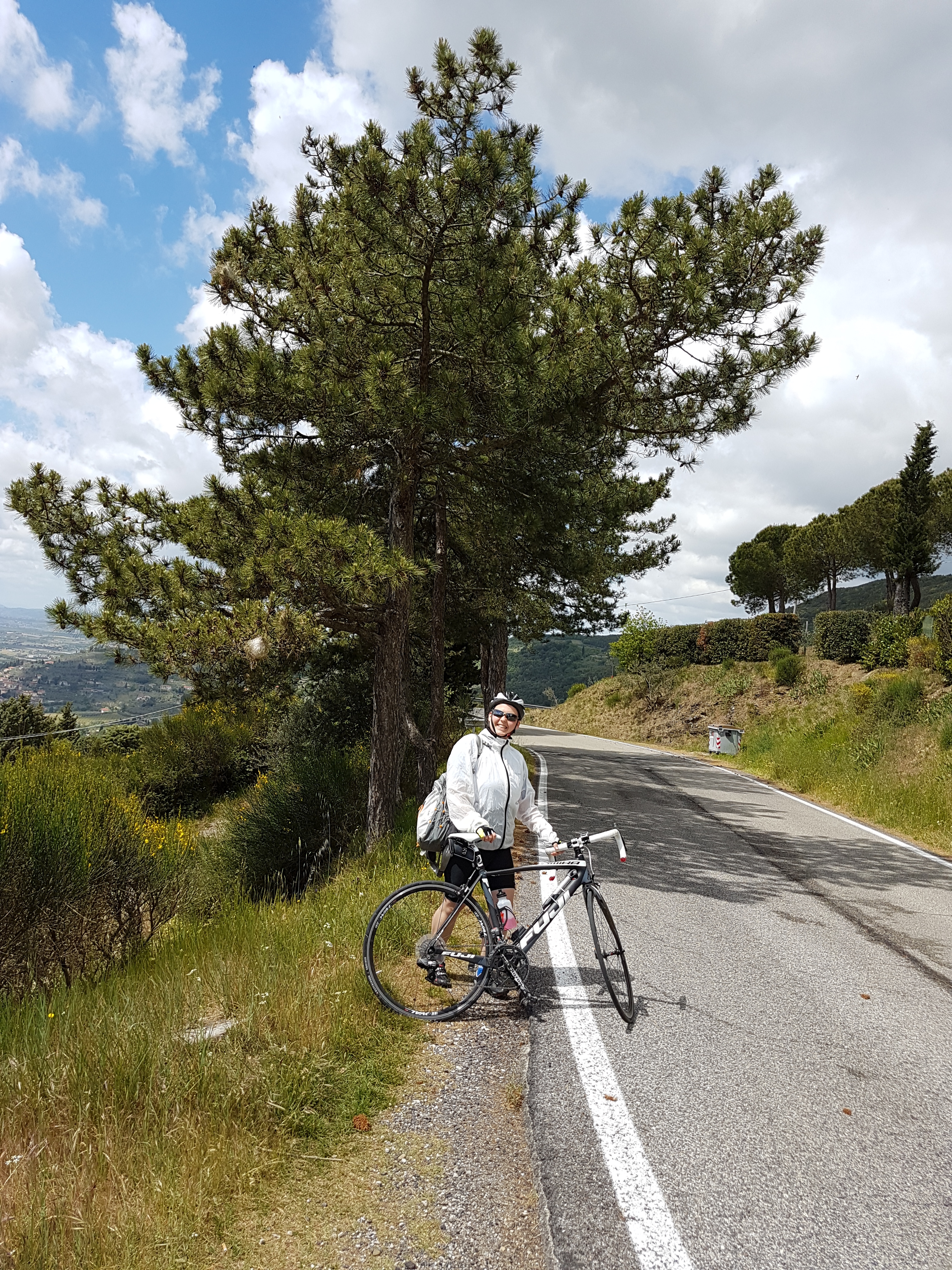
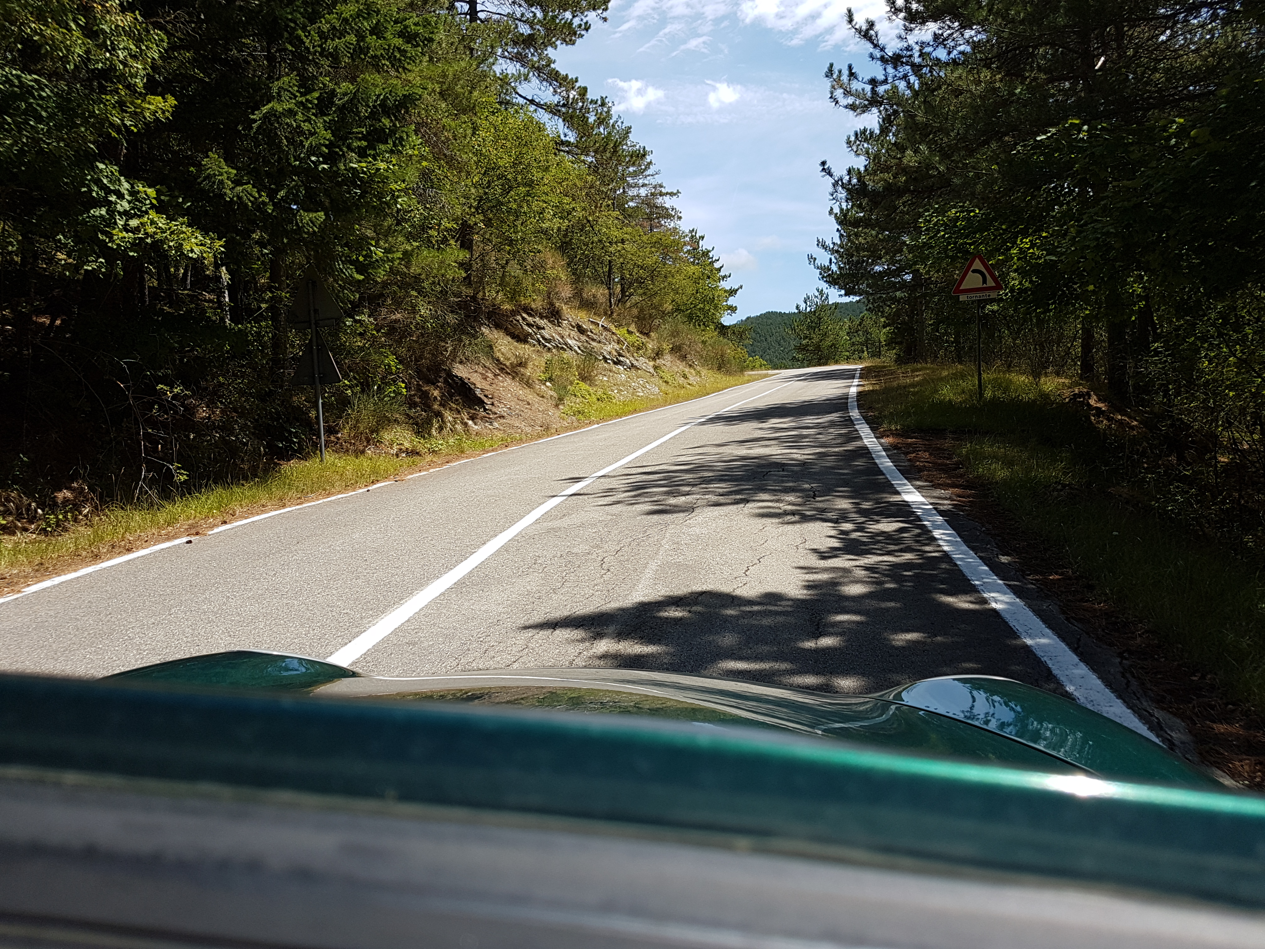
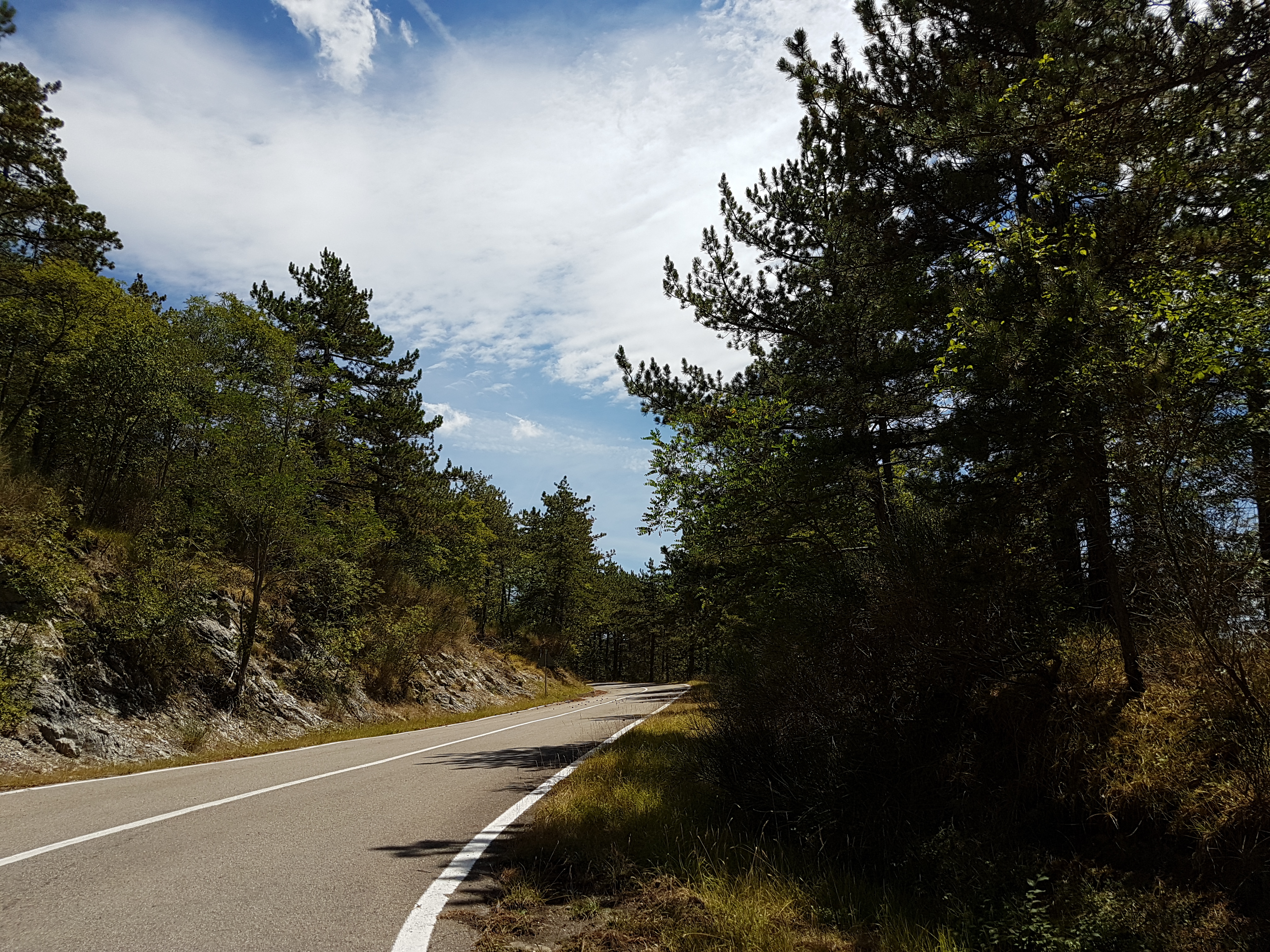
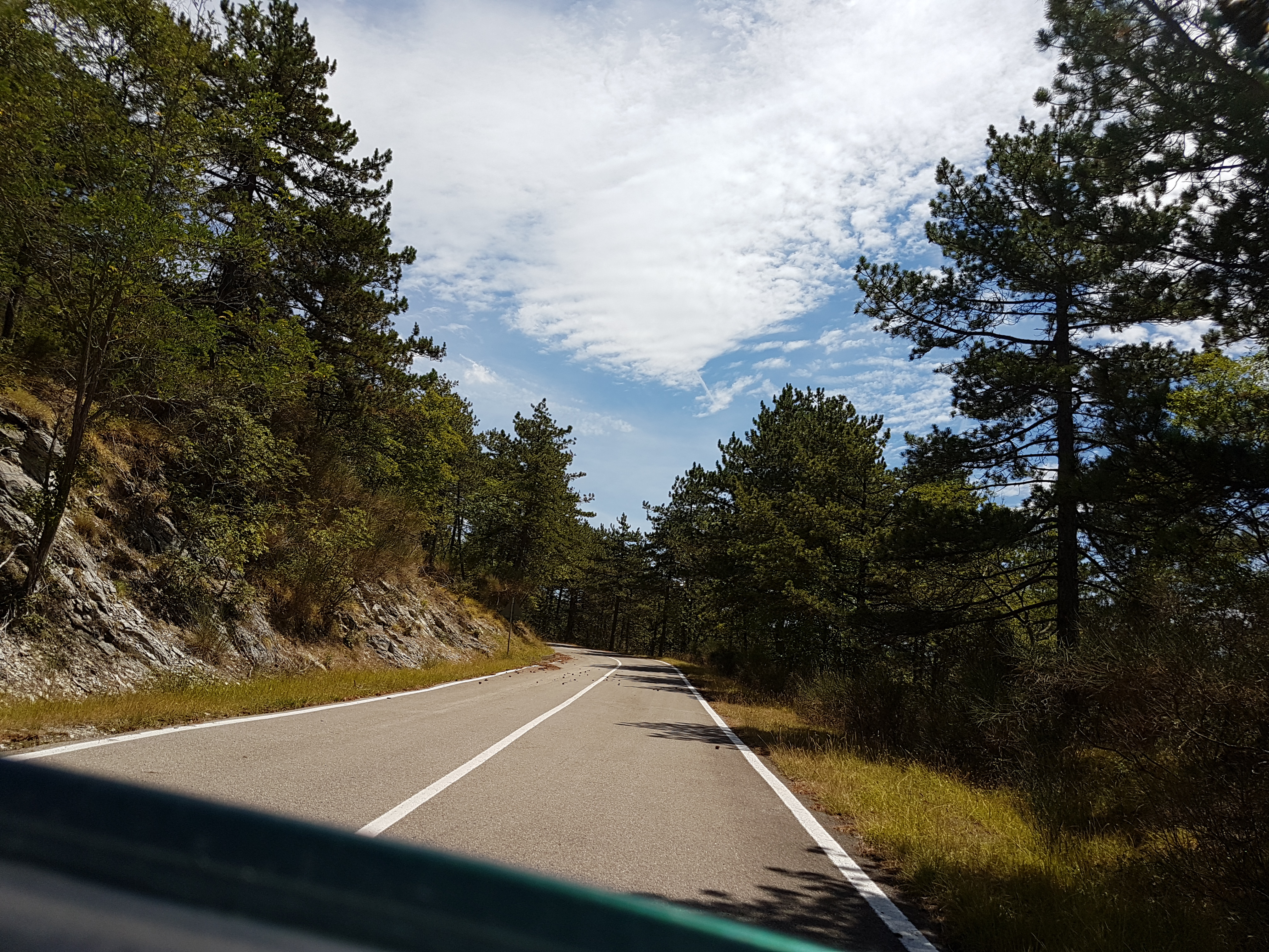
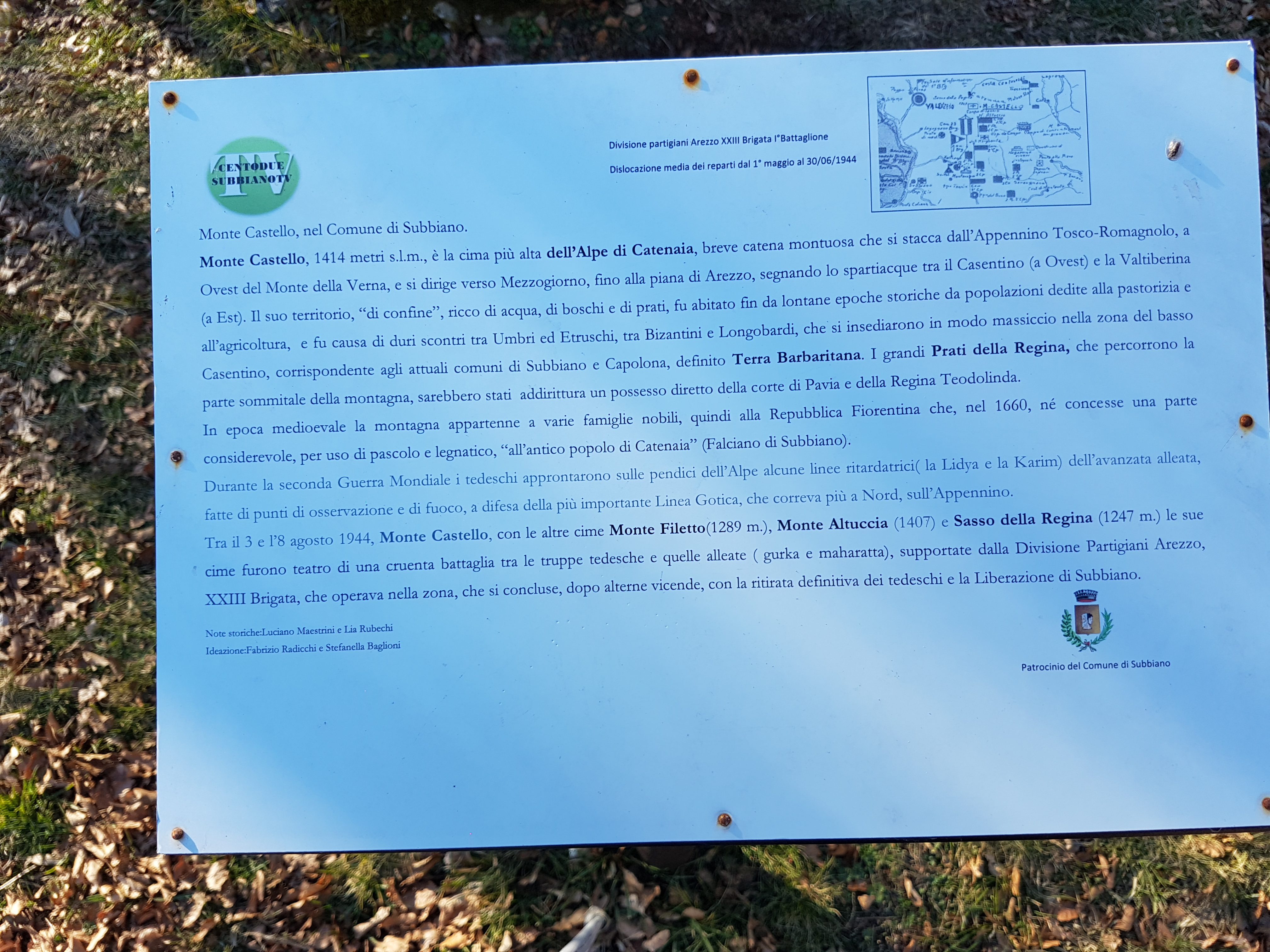
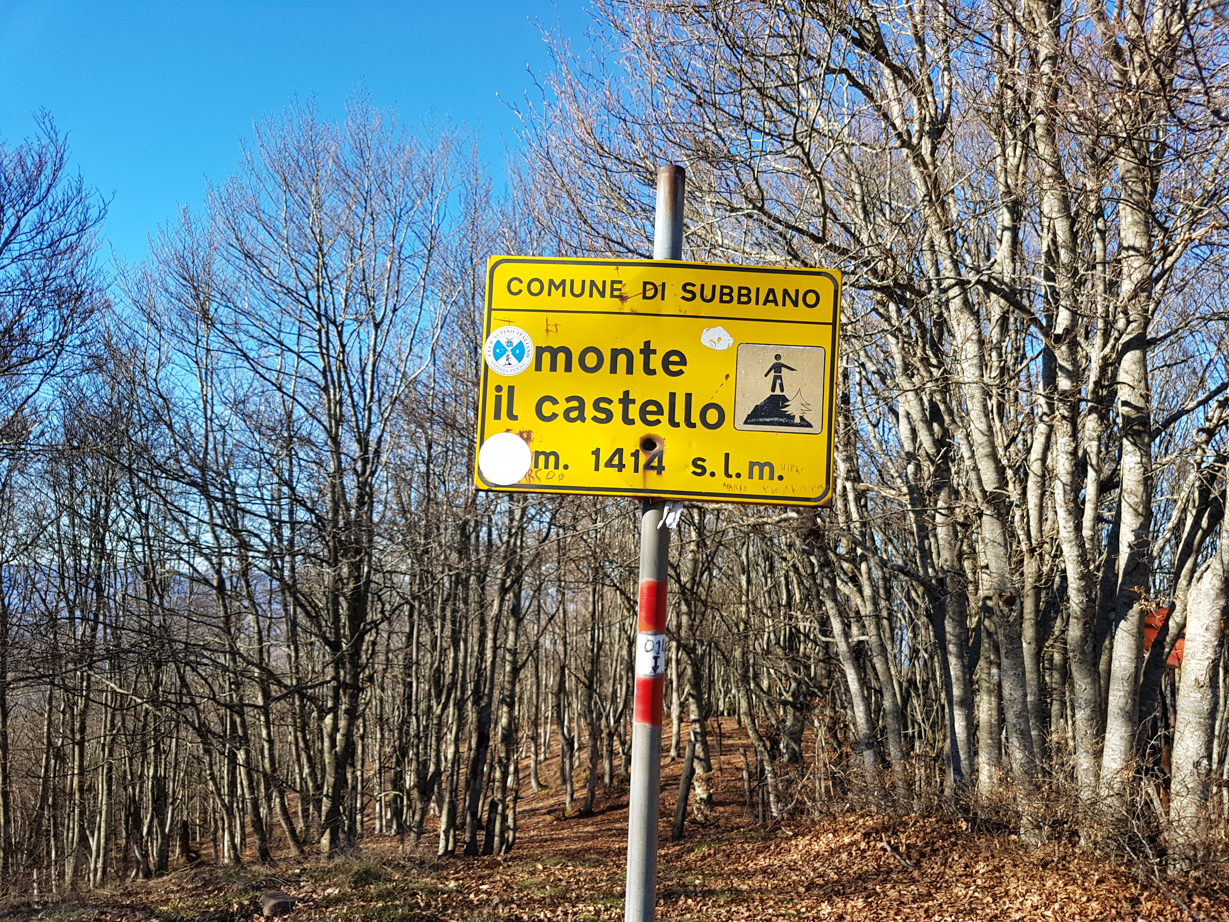
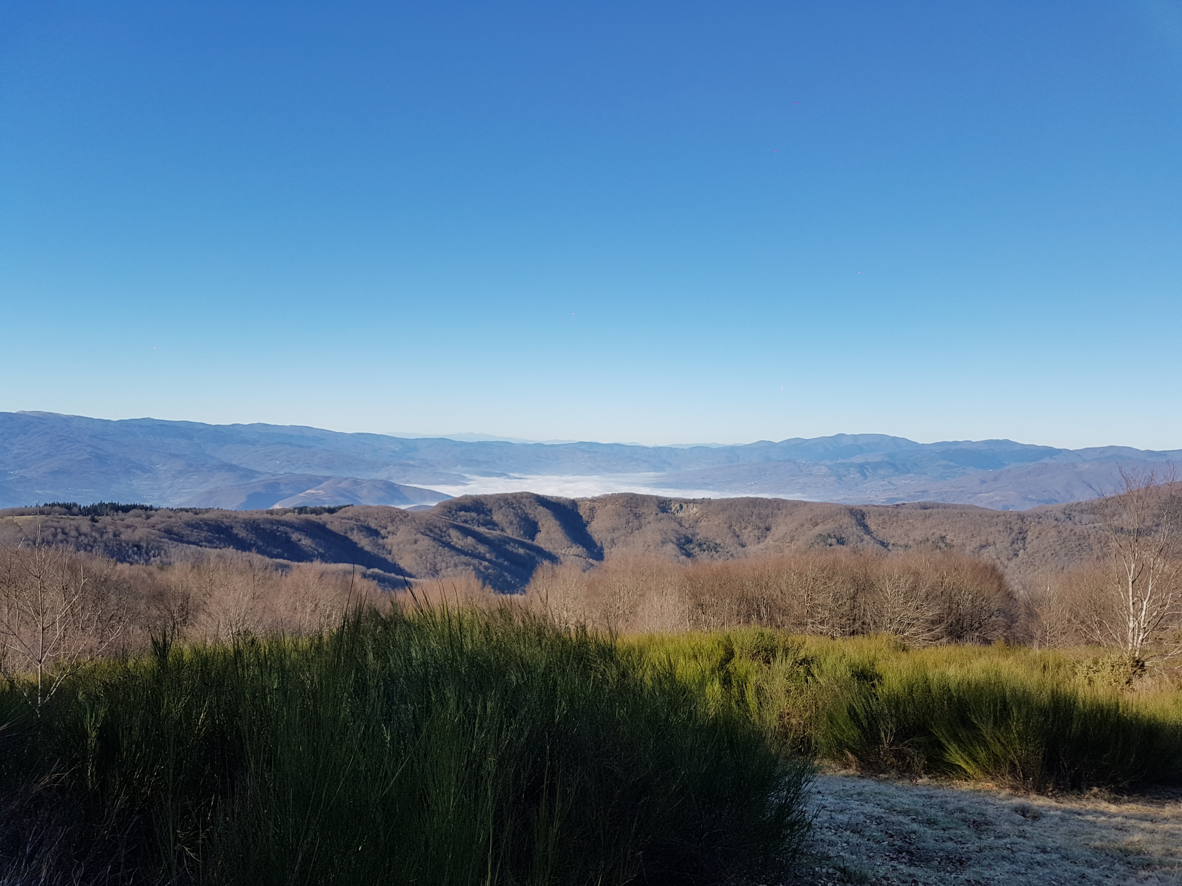
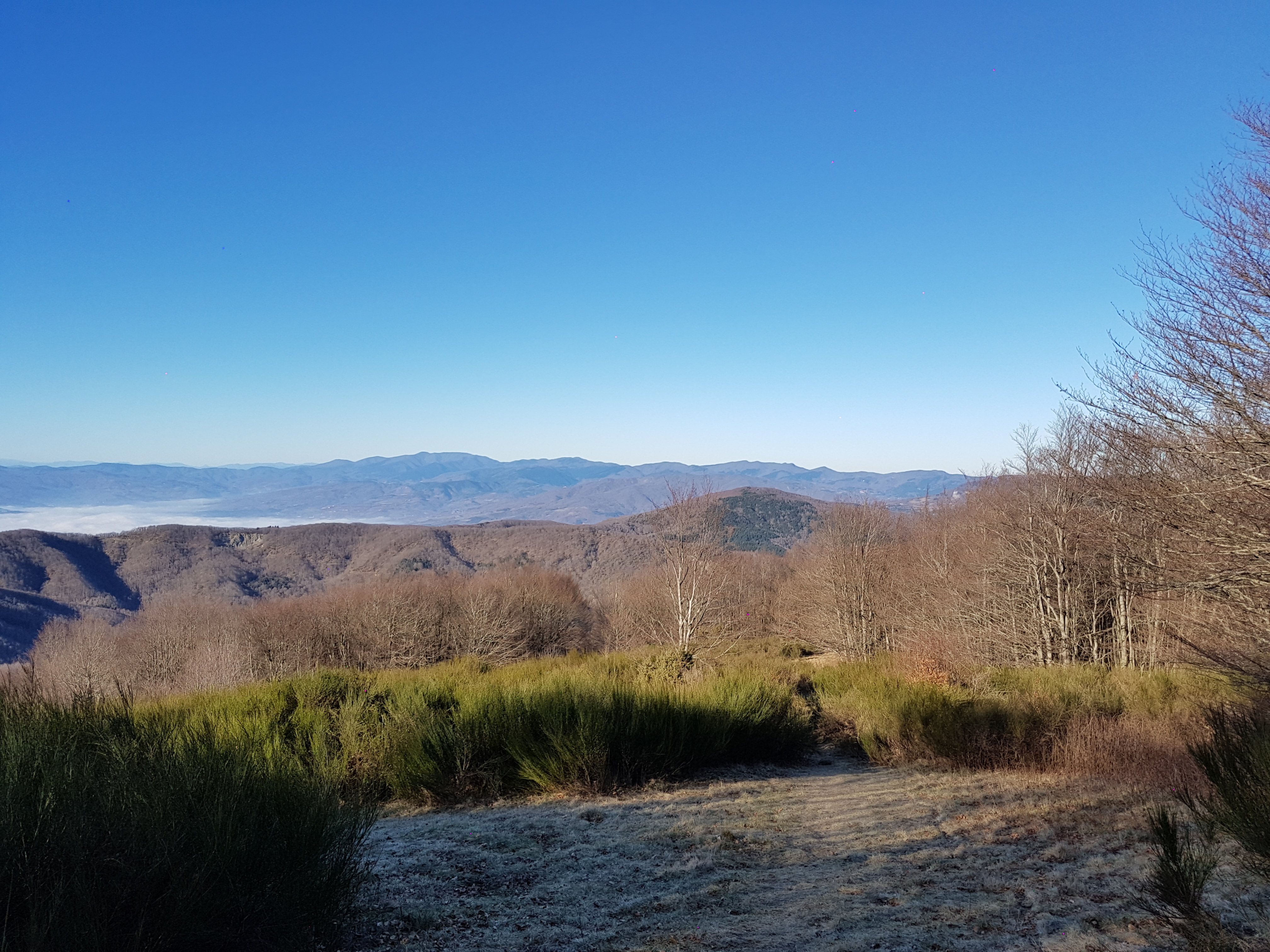
This route is quite challenging. It has two peaks, first is not to steep while other is quite steep.

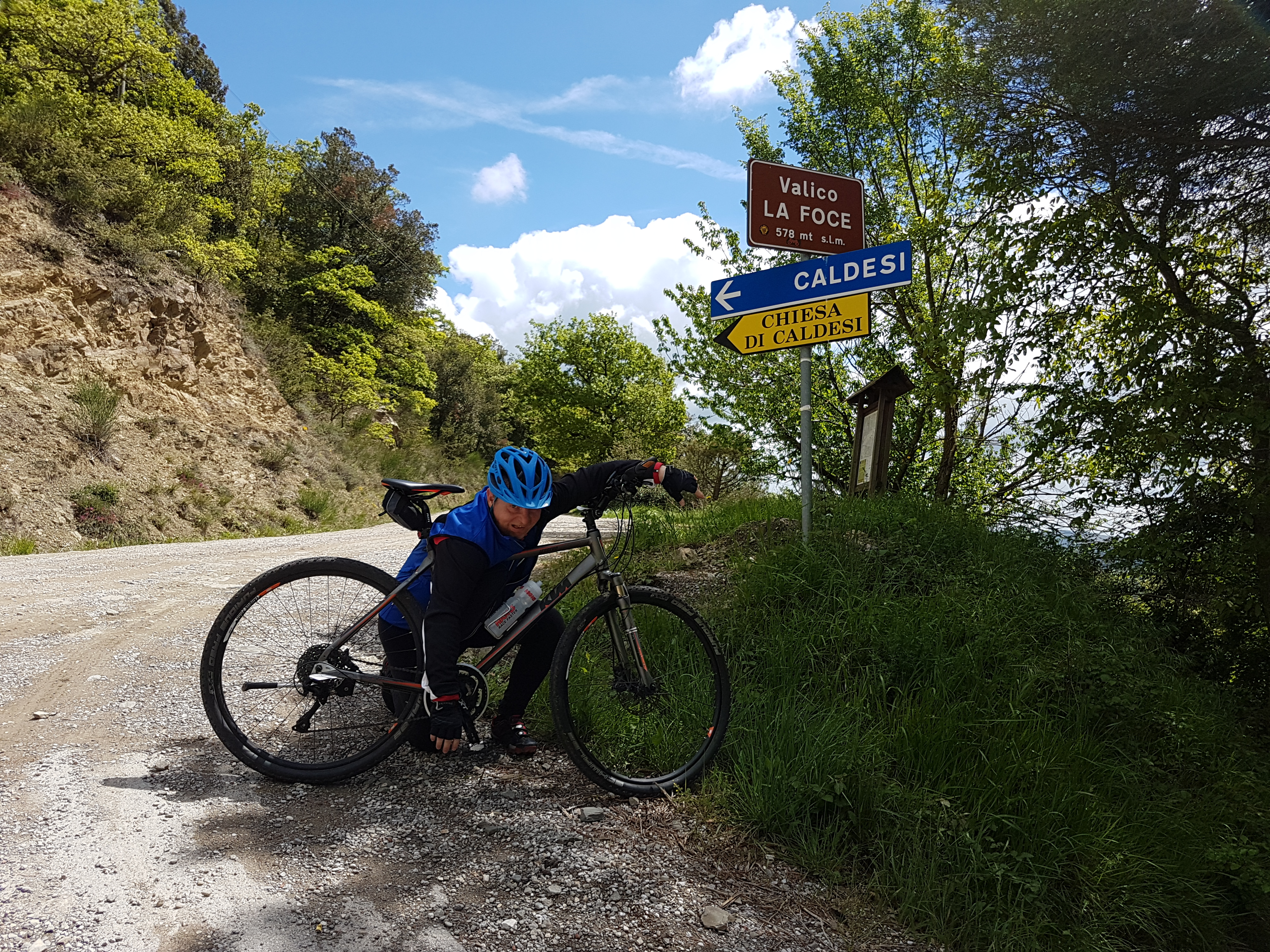
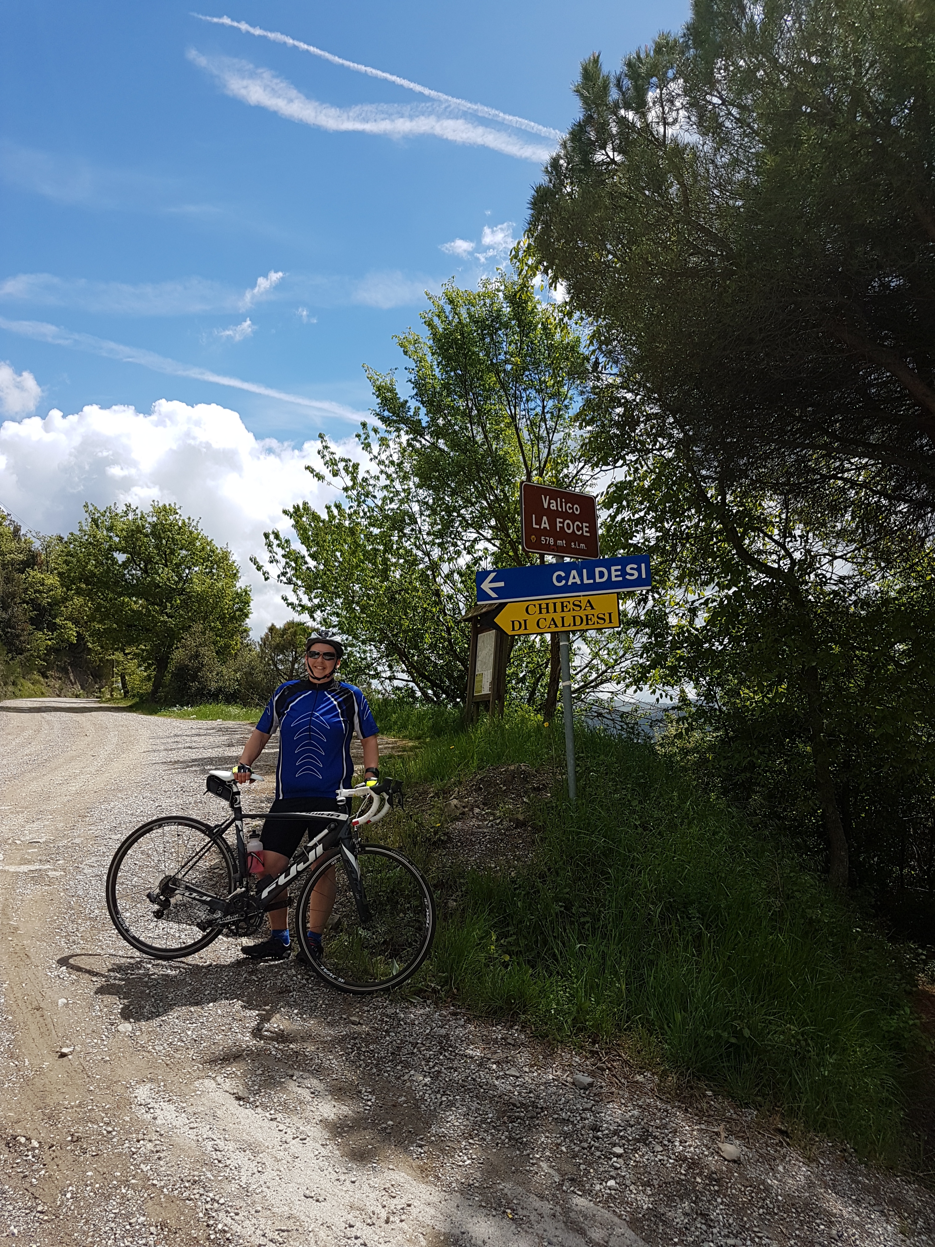
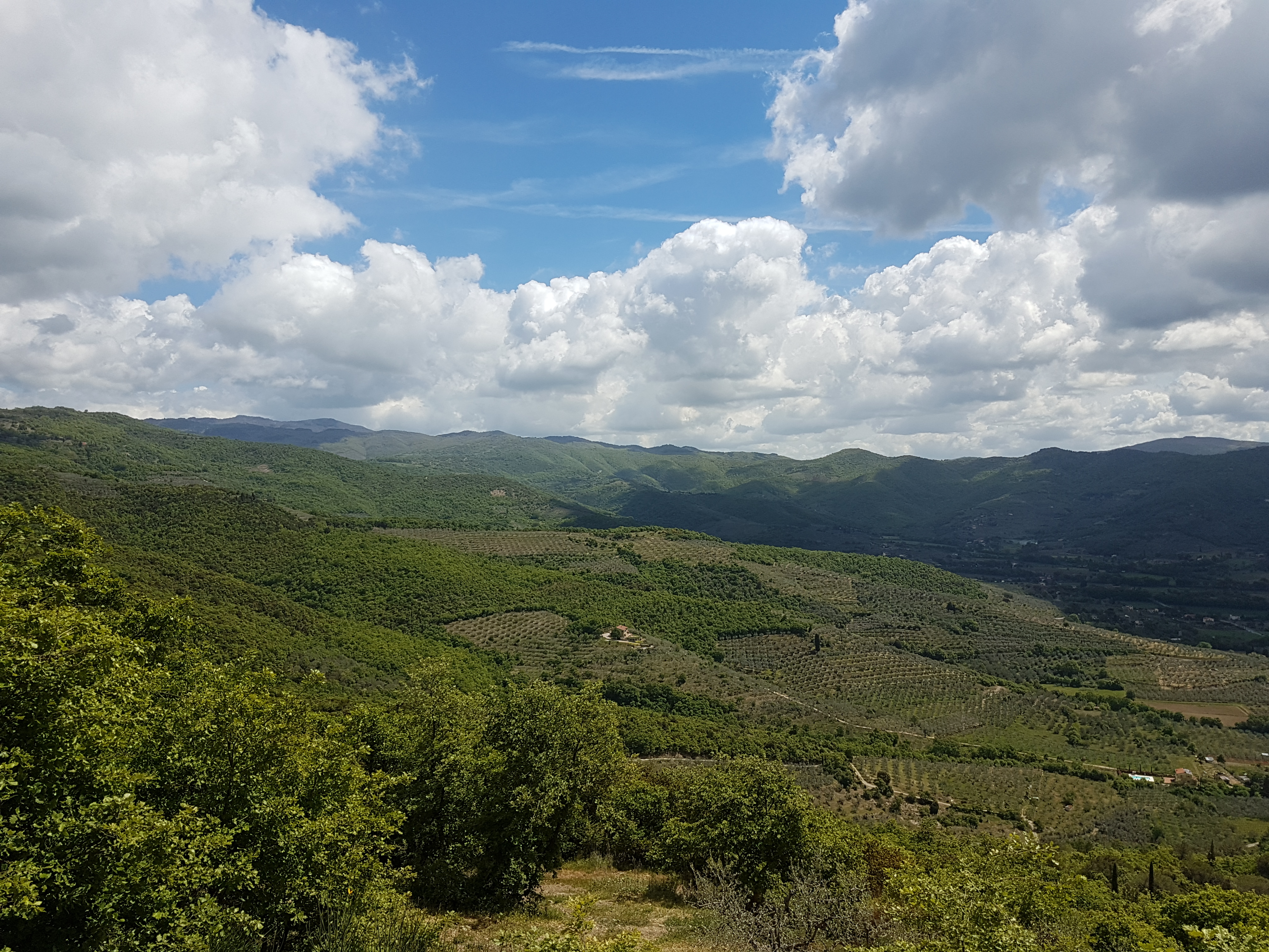
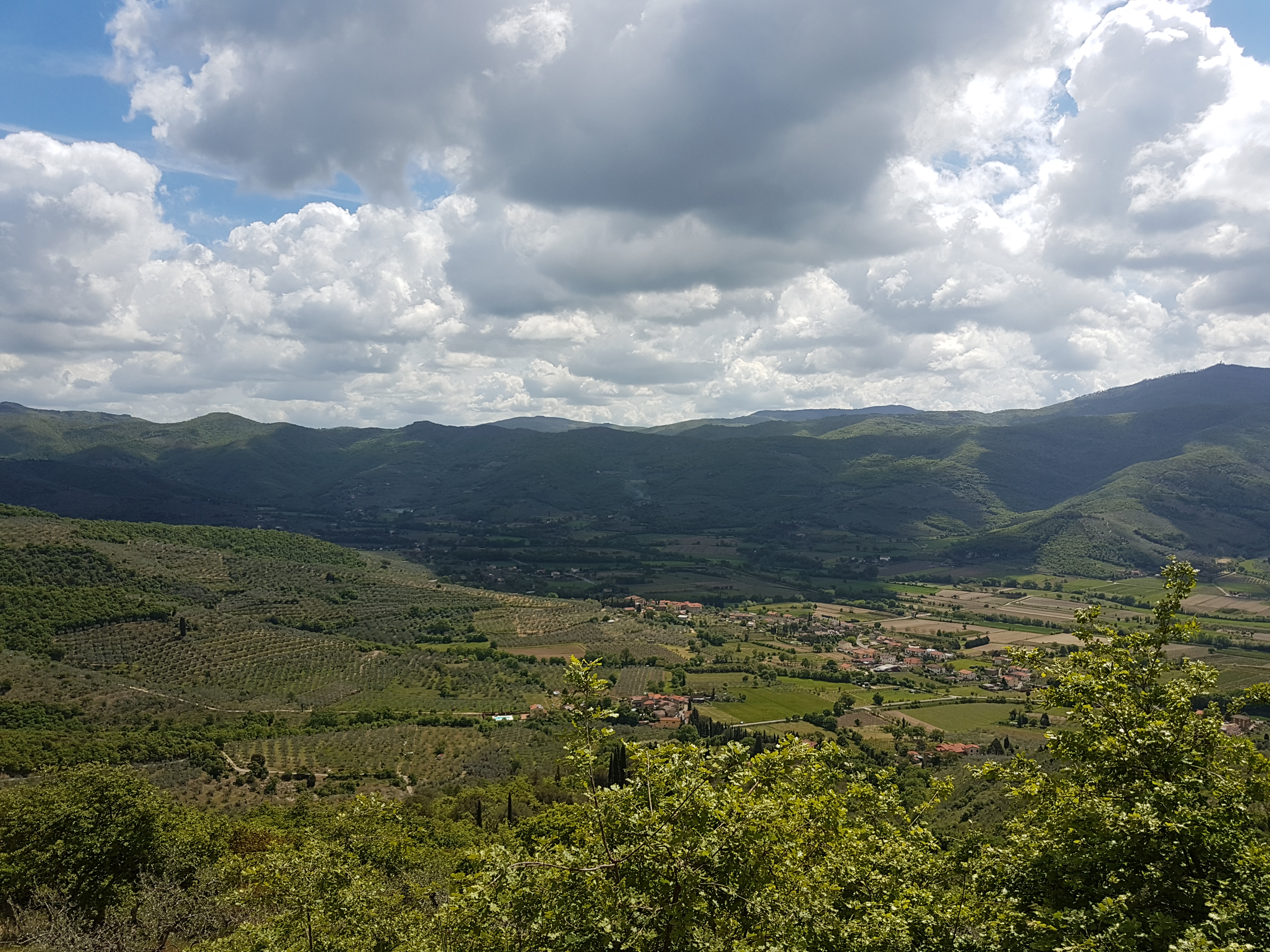
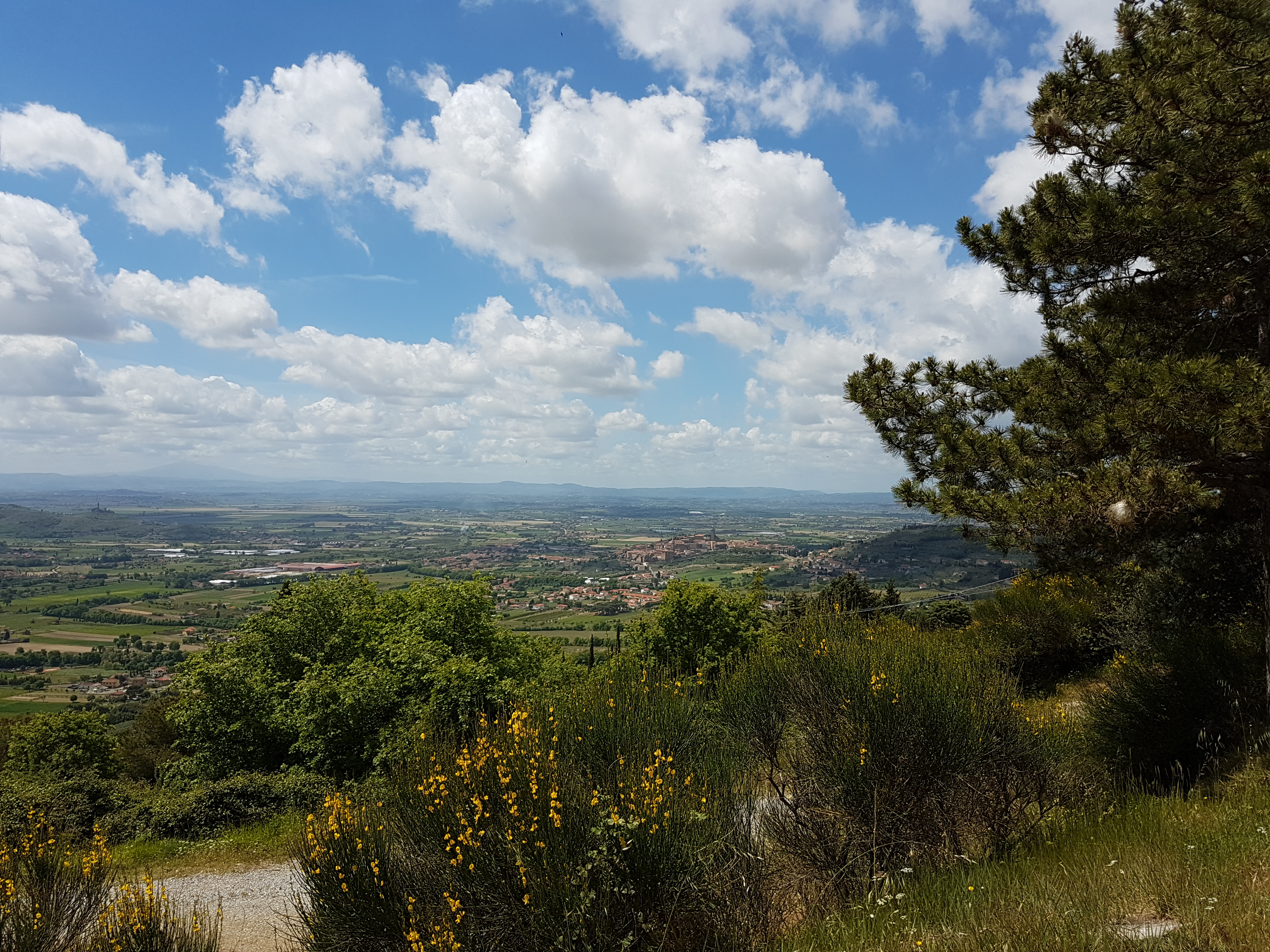
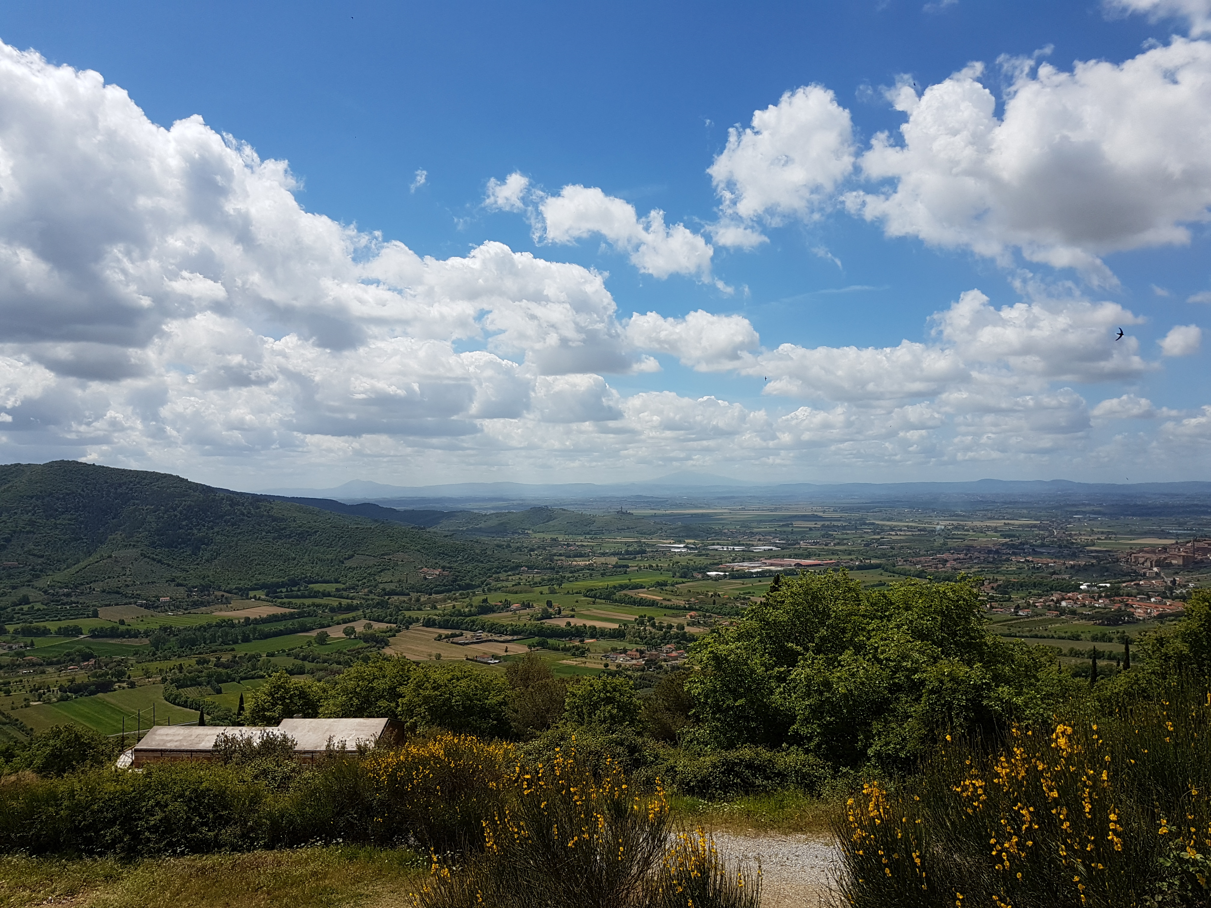
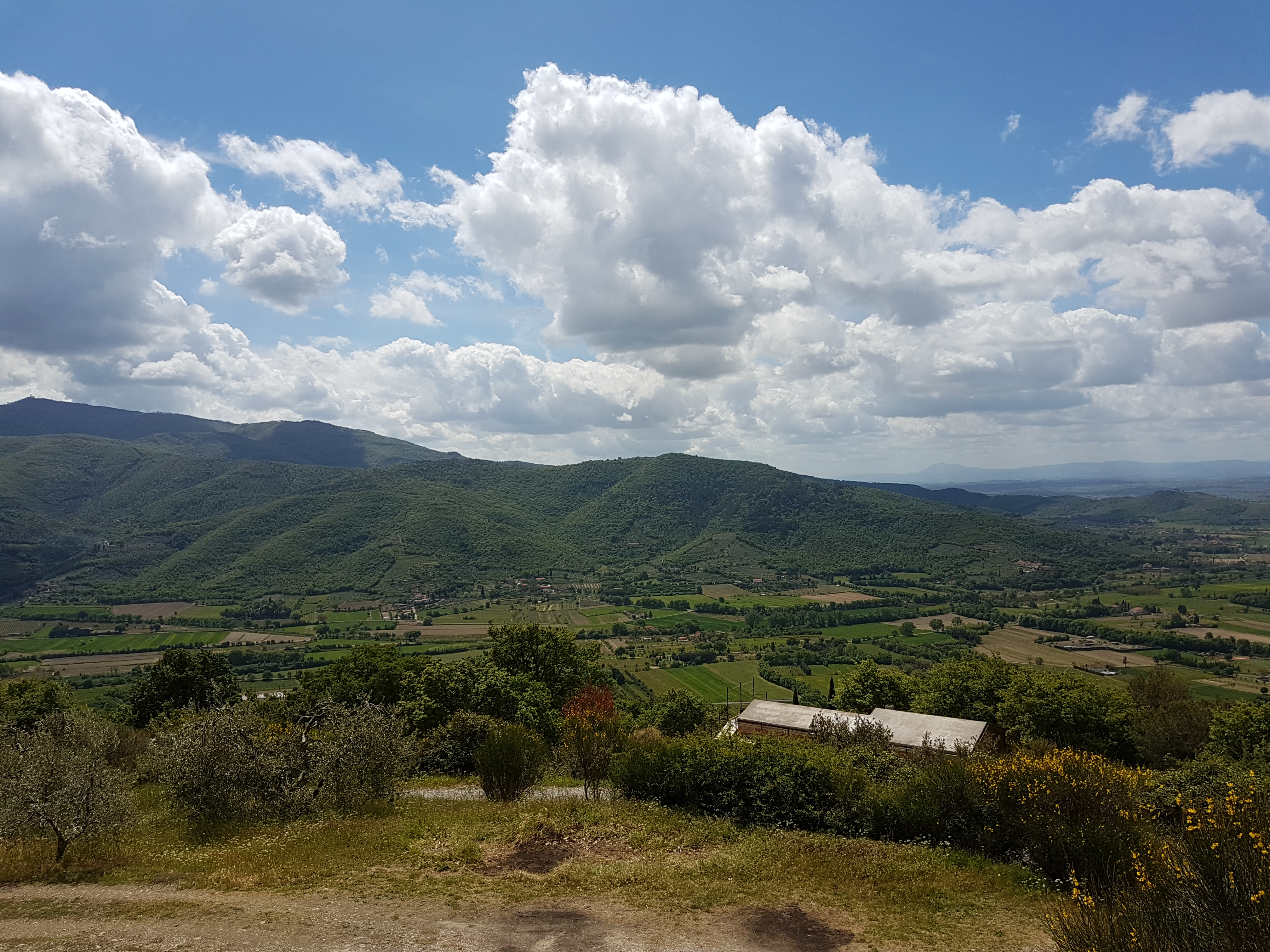
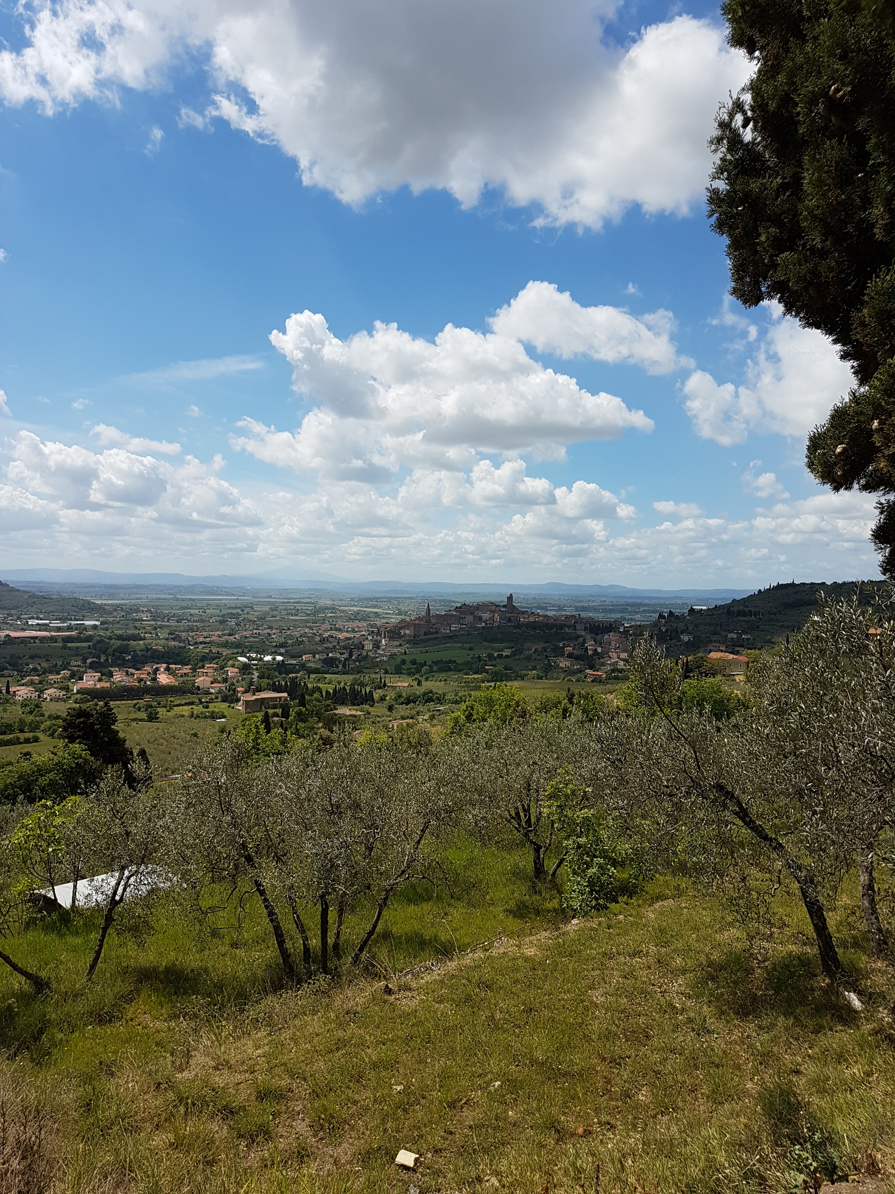
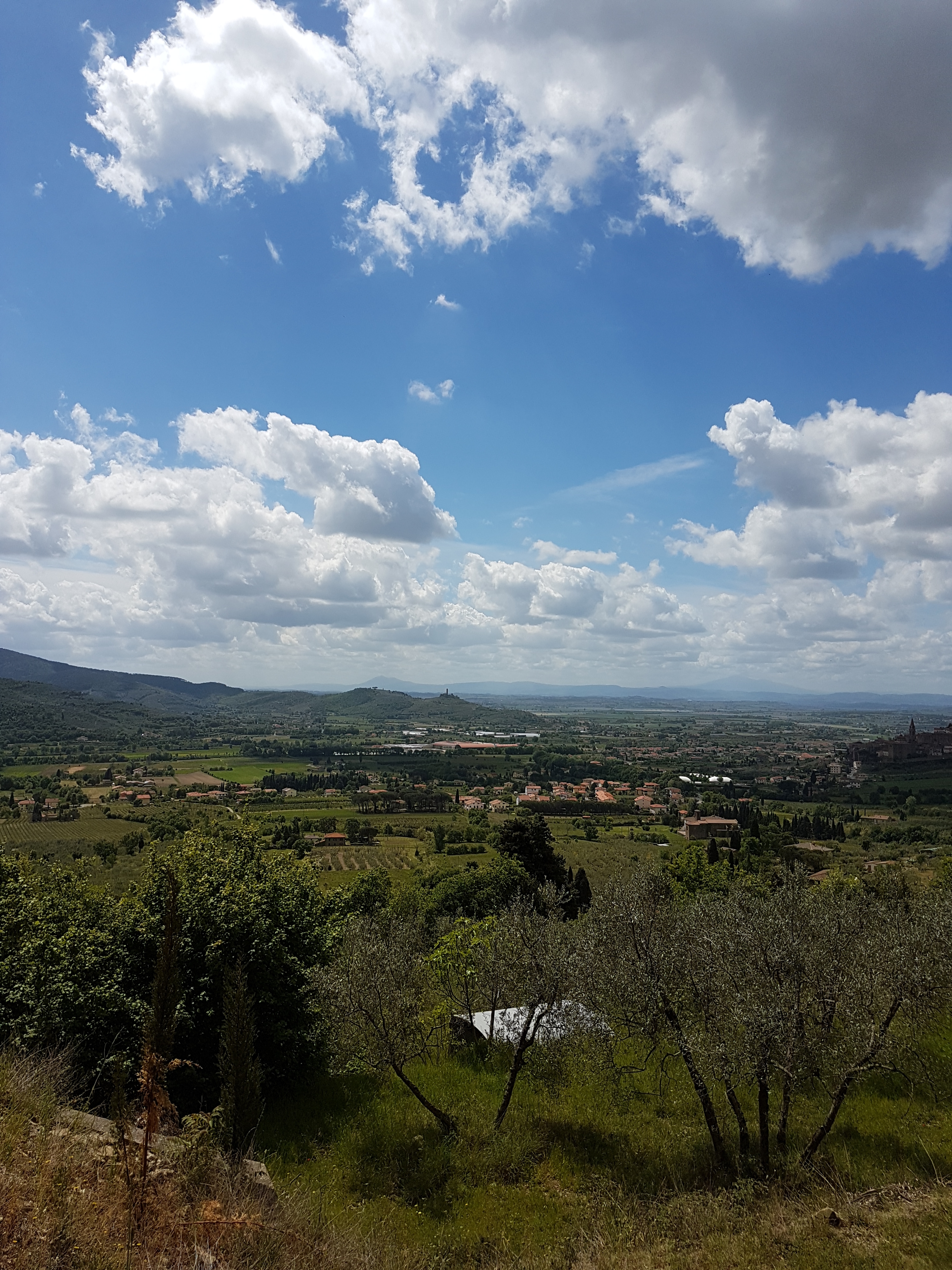
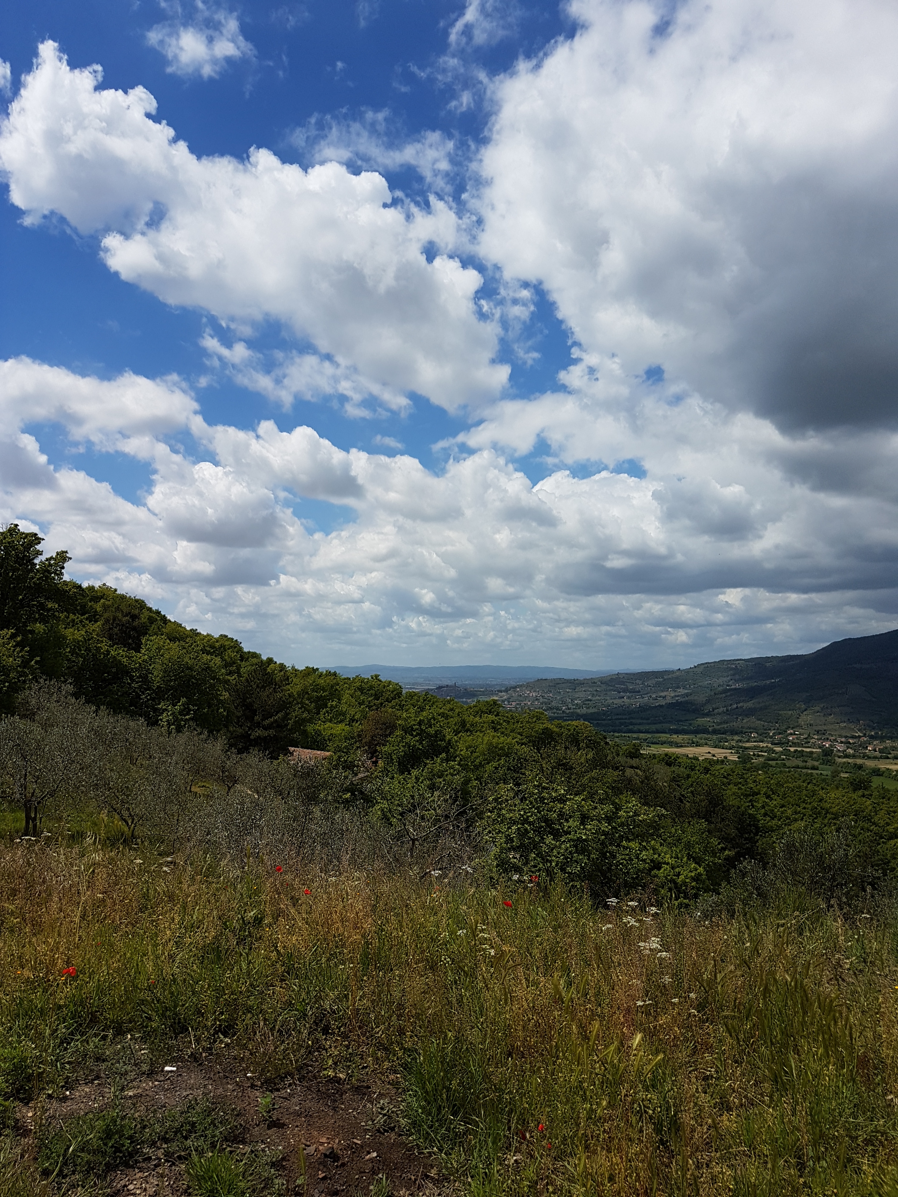
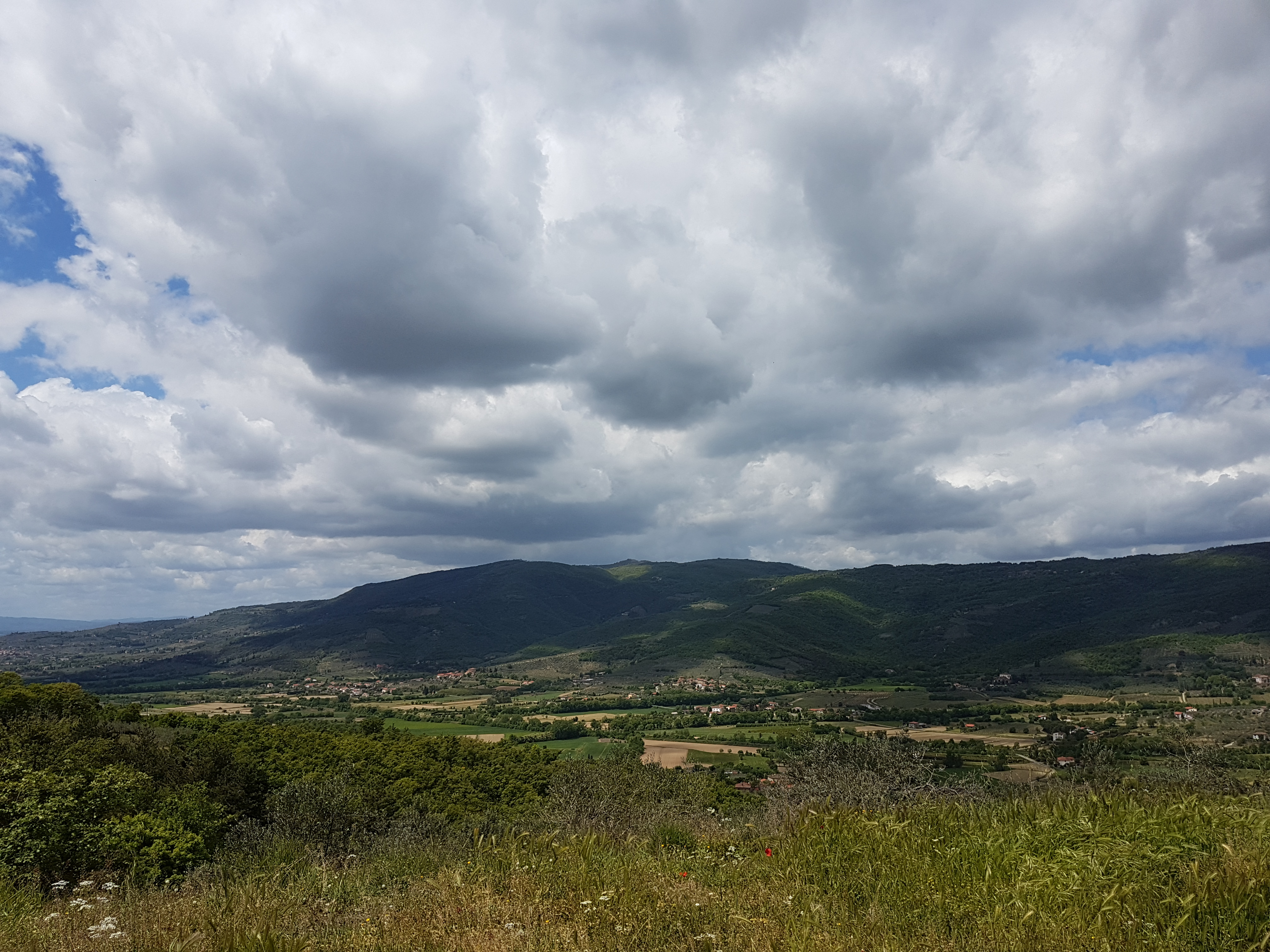
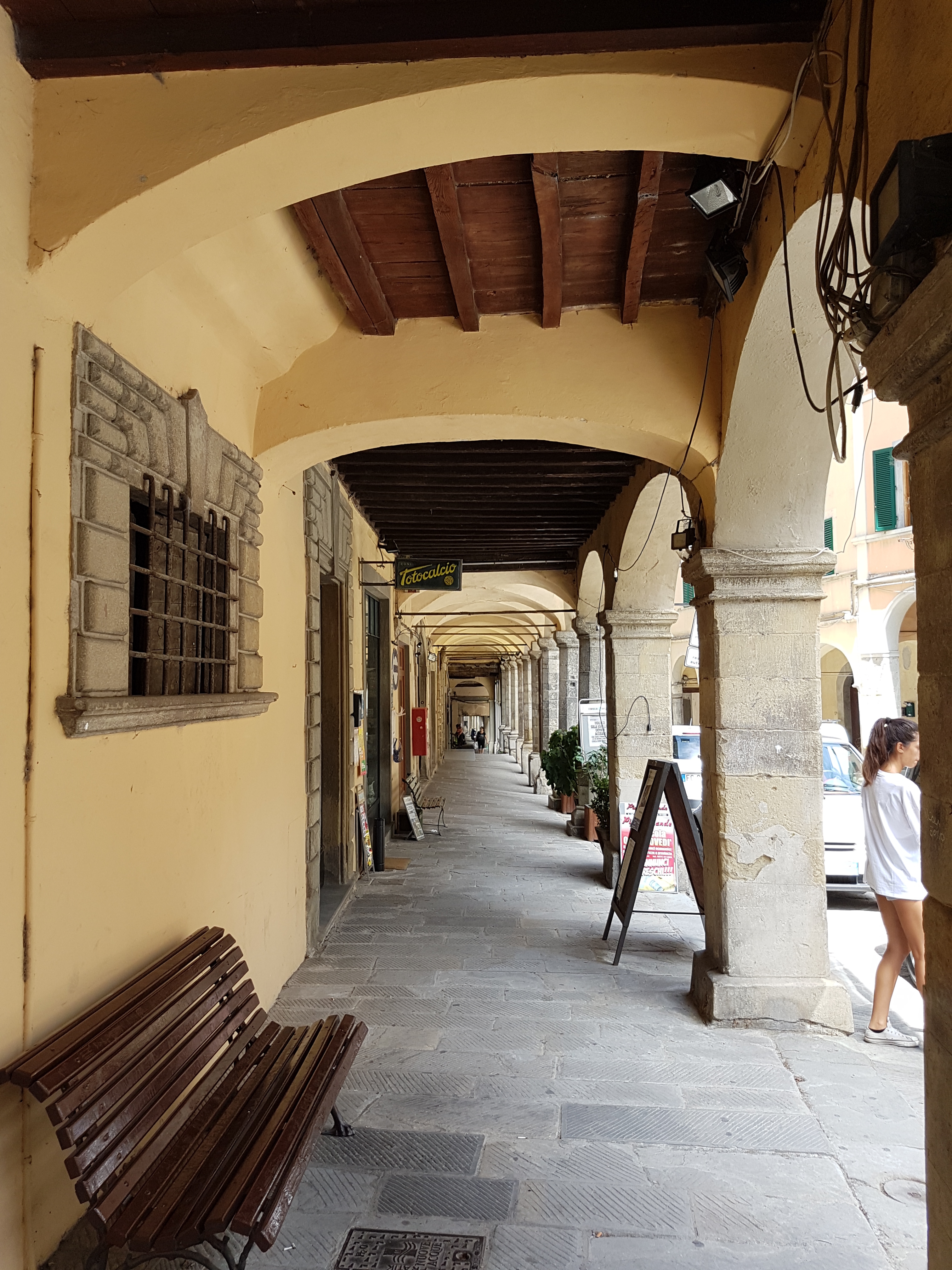
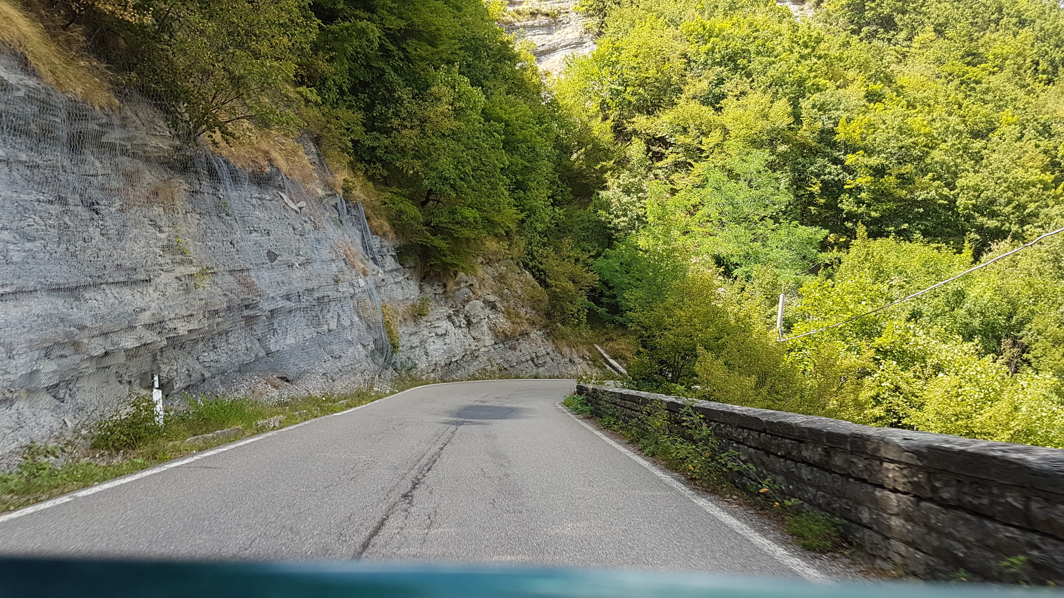
Route starts in vilage Le Ville from where we go toward  Palazzo dell Pero. Here we go right to valey, which is steadily rising to crossing Valico La Foce. Next is descent to picturese Castiglion Fiorentino. From ther we follow Strada Provinciale Polvano e Valle Nestore and climb to second peak. After the peak we descend toward  Citta Di Castello, and later through Monterchi back to starting point.

Total distance: 87.04 km
Total climbing: 749 m
Total descent: -764 m
Average speed: 21.82 km/h
Download file: 2017-05-02 1043__20170502_1043.gpx

Relive video

Related Images:

Facebooktwitterredditpinterestlinkedinmailby feather

Chiusi della Verna round bike path

This route is really near the house. It starts at Il Rifugio restaurant, climb to Chiusi della Verna and then to pass Del Spino. After that it is more ore less descent back to start.

Route is quite demanding as climbs and descent are steep.

Total distance: 31.51 km
Total climbing: 634 m
Total descent: -639 m
Average speed: 23.19 km/h
Download file: 2017-05-01 1306__20170501_1306.gpx

Relive video

Related Images:

Facebooktwitterredditpinterestlinkedinmailby feather

Bycicle route around Lago di Montedoglio

Nice bycicle route around lake Montedoglio

Starting near the dam, route goes around the lake through countryside, passing towns Sansepolcro and Anghiari.

Route is not very demanding, but there are quite some up and down hills, so be prepared.

Total distance: 38.72 km
Total climbing: 265 m
Total descent: -298 m
Average speed: 23.02 km/h
Download file: 2017-04-30 1107__20170430_1107.gpx

Relive video

Related Images:

Facebooktwitterredditpinterestlinkedinmailby feather

Introductionary ride/drive scenic roads nearby …

This nice and short introductionary route around nearby passes on really scenic roads. Very good for motorcycle or sports car.

On the route You cad do some sightseeing since You ride/drive through:

Error When Retrieving NextGen Gallery galleries/images: $e
Total distance: 184.3 km
Total climbing: 3304 m
Total descent: -3329 m
Average speed: 59.75 km/h
Download file: 20170727.gpx

If You follow gpx track completly, there is some unpaved section, which can be avoided if You stay on SP67 instead of turning to SP124.

Related Images:

Facebooktwitterredditpinterestlinkedinmailby feather

27.12.2016 Alpe di Fagetta hike

Nice hike on top of the Fagetta Alps. Easy walk with great views on surounding valleys.

Total distance: 5.78 km
Total climbing: 263 m
Total descent: -230 m
Average speed: 4.34 km/h
Download file: 2016-12-27.gpx

Read more from others …

Related Images:

Facebooktwitterredditpinterestlinkedinmailby feather