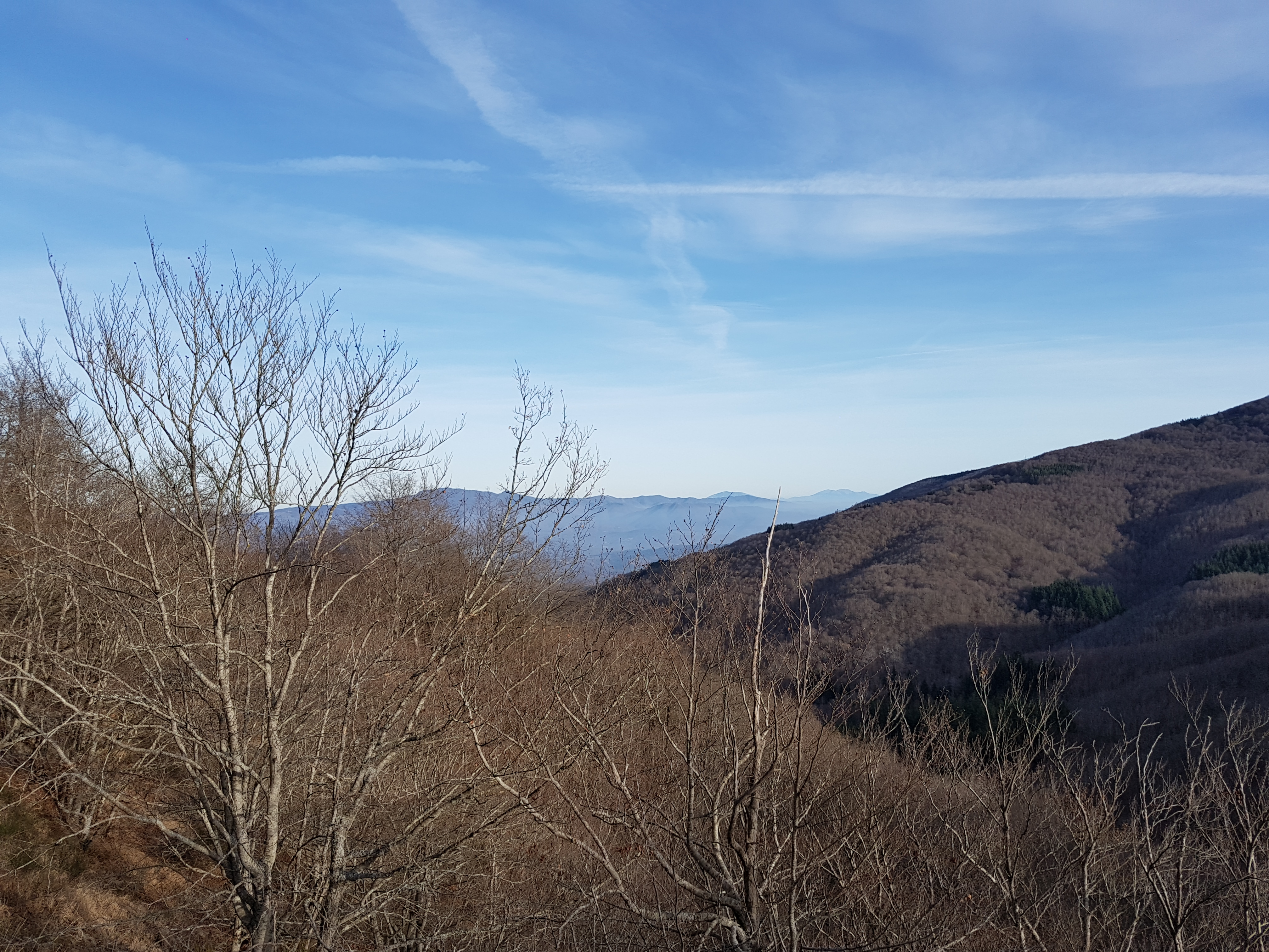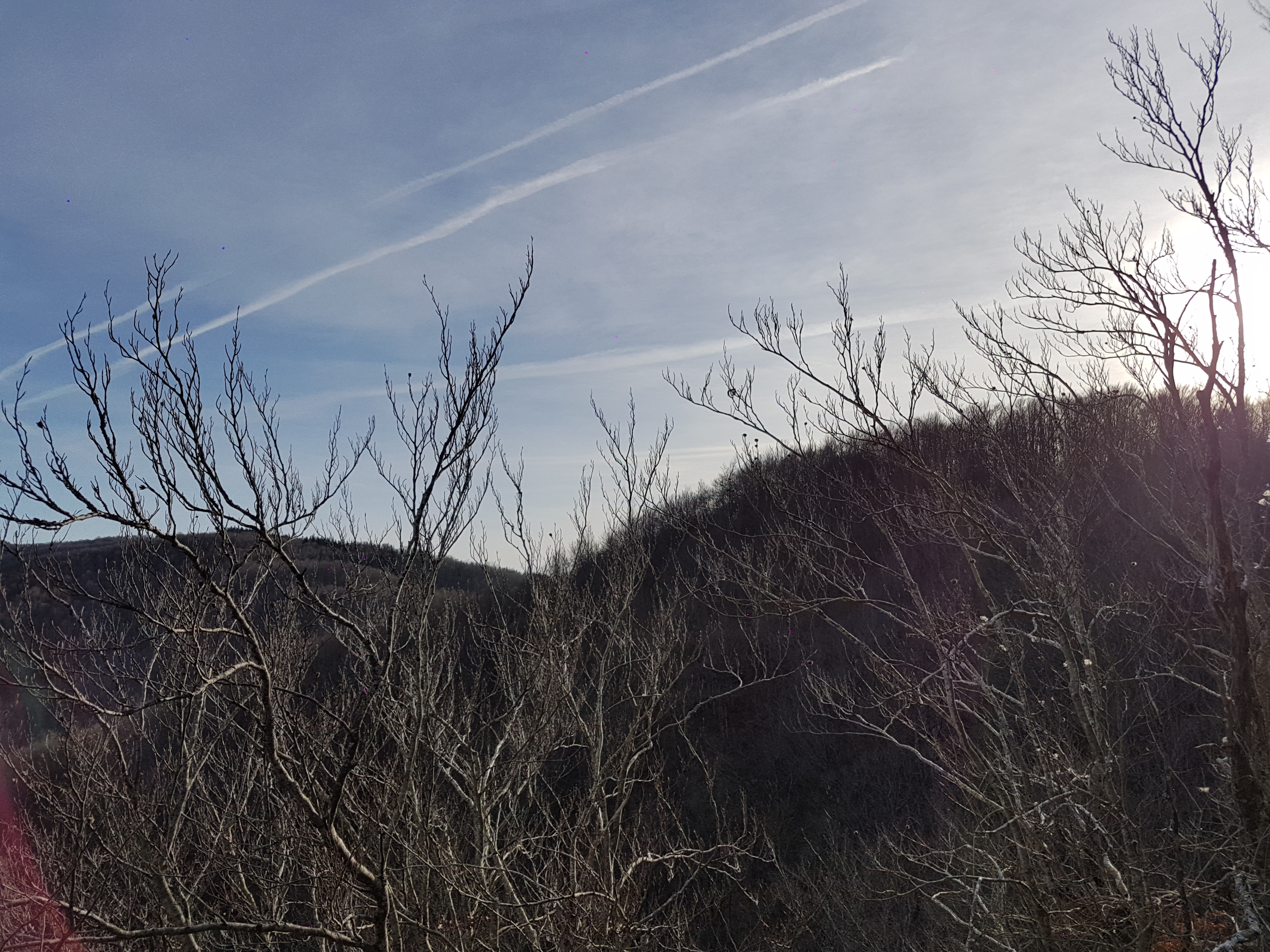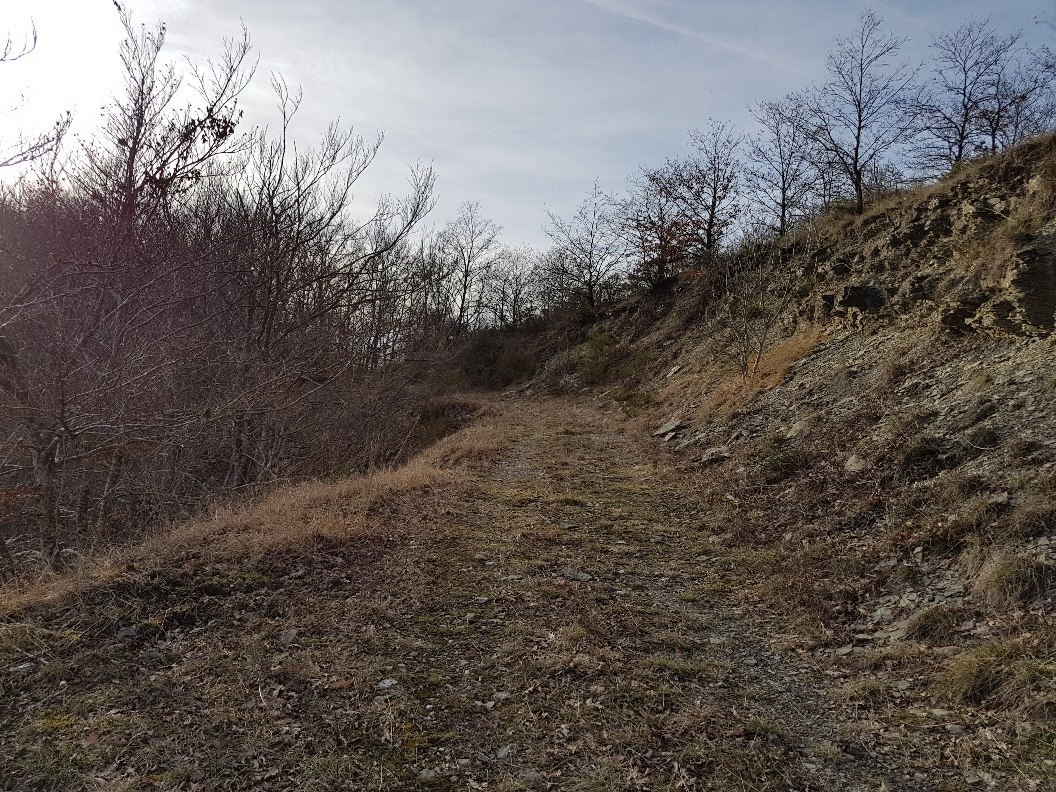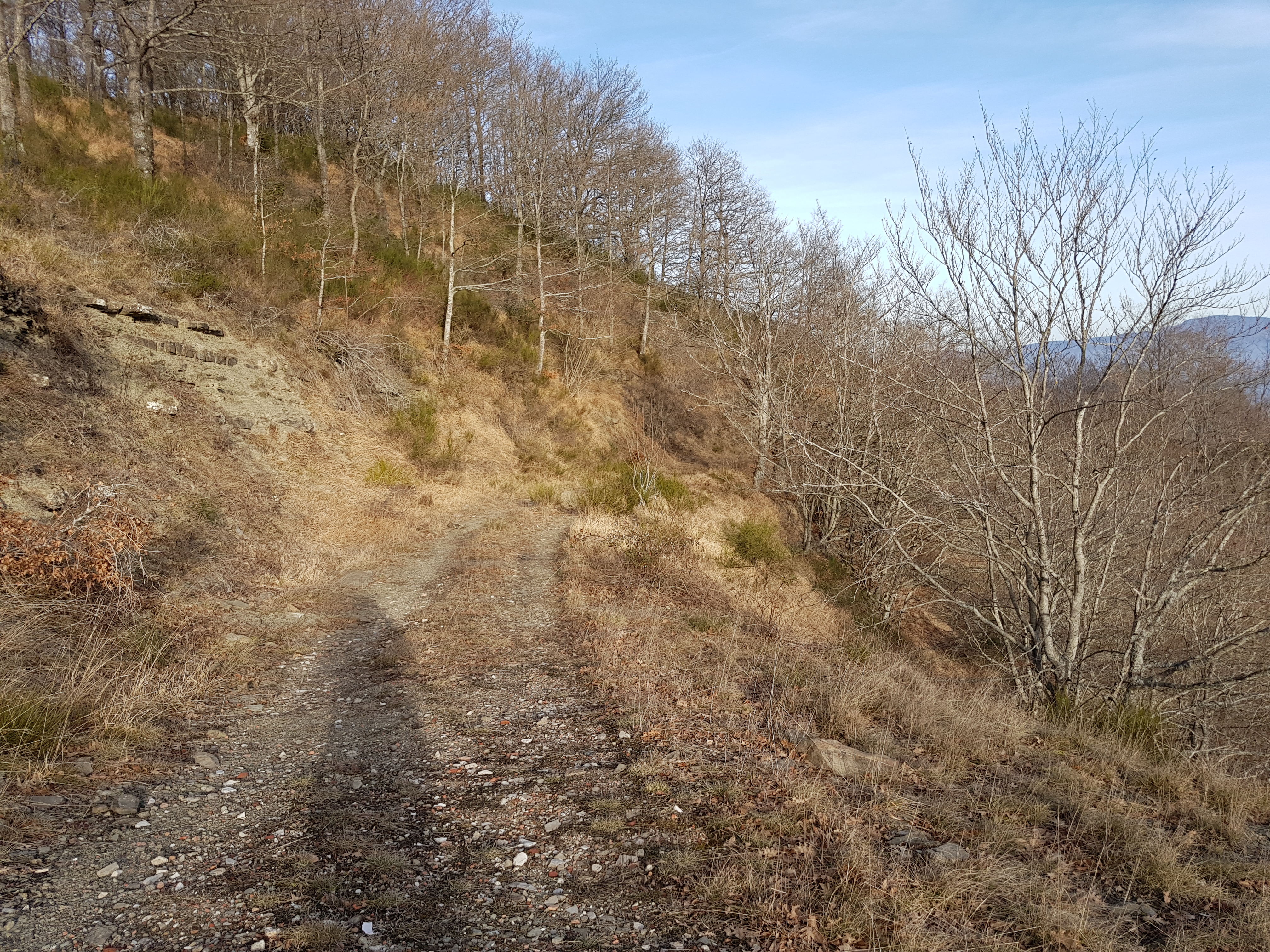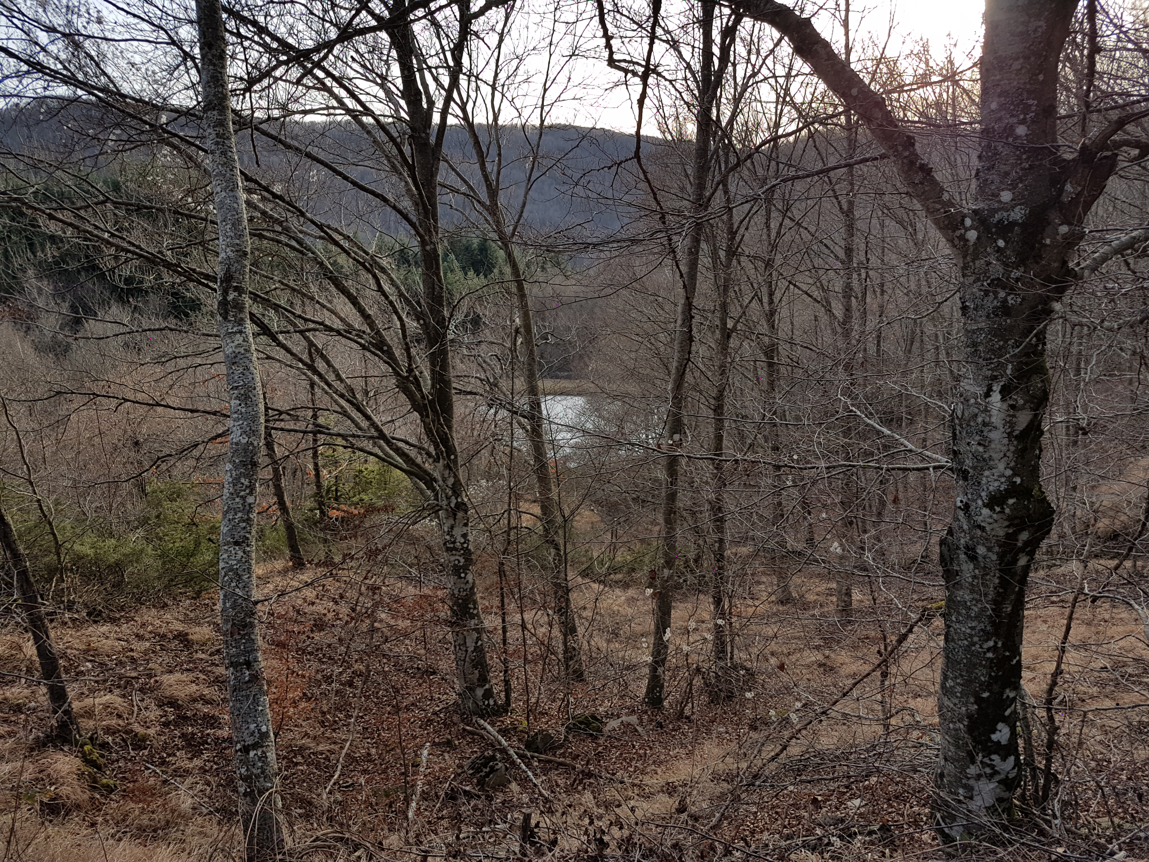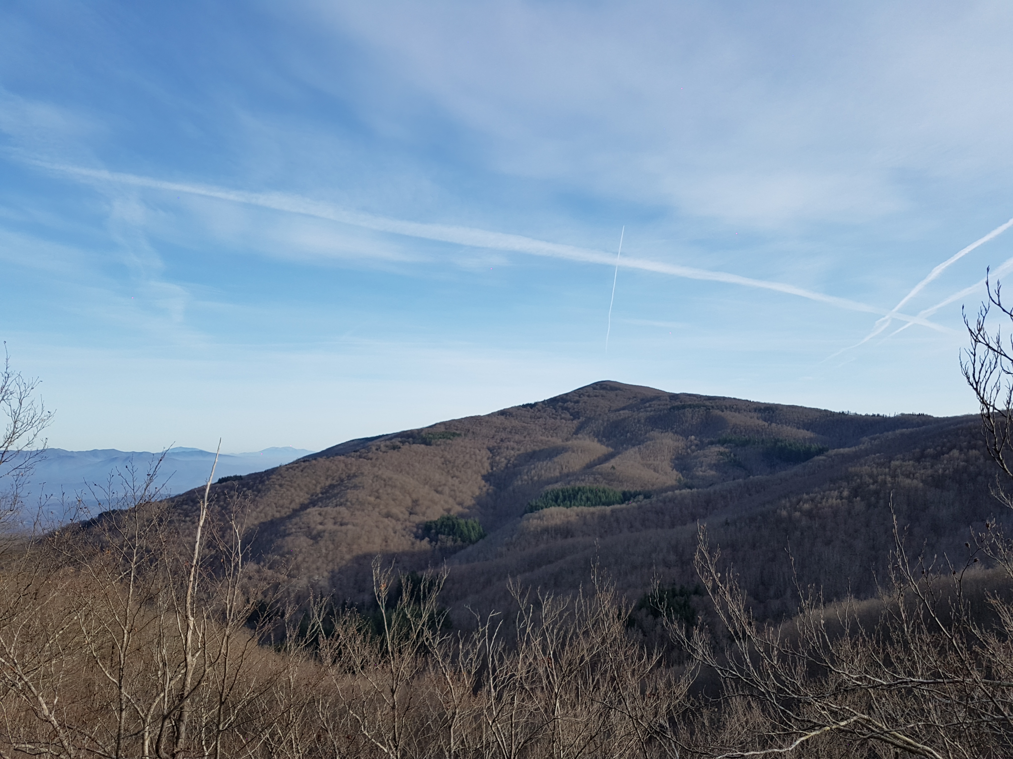
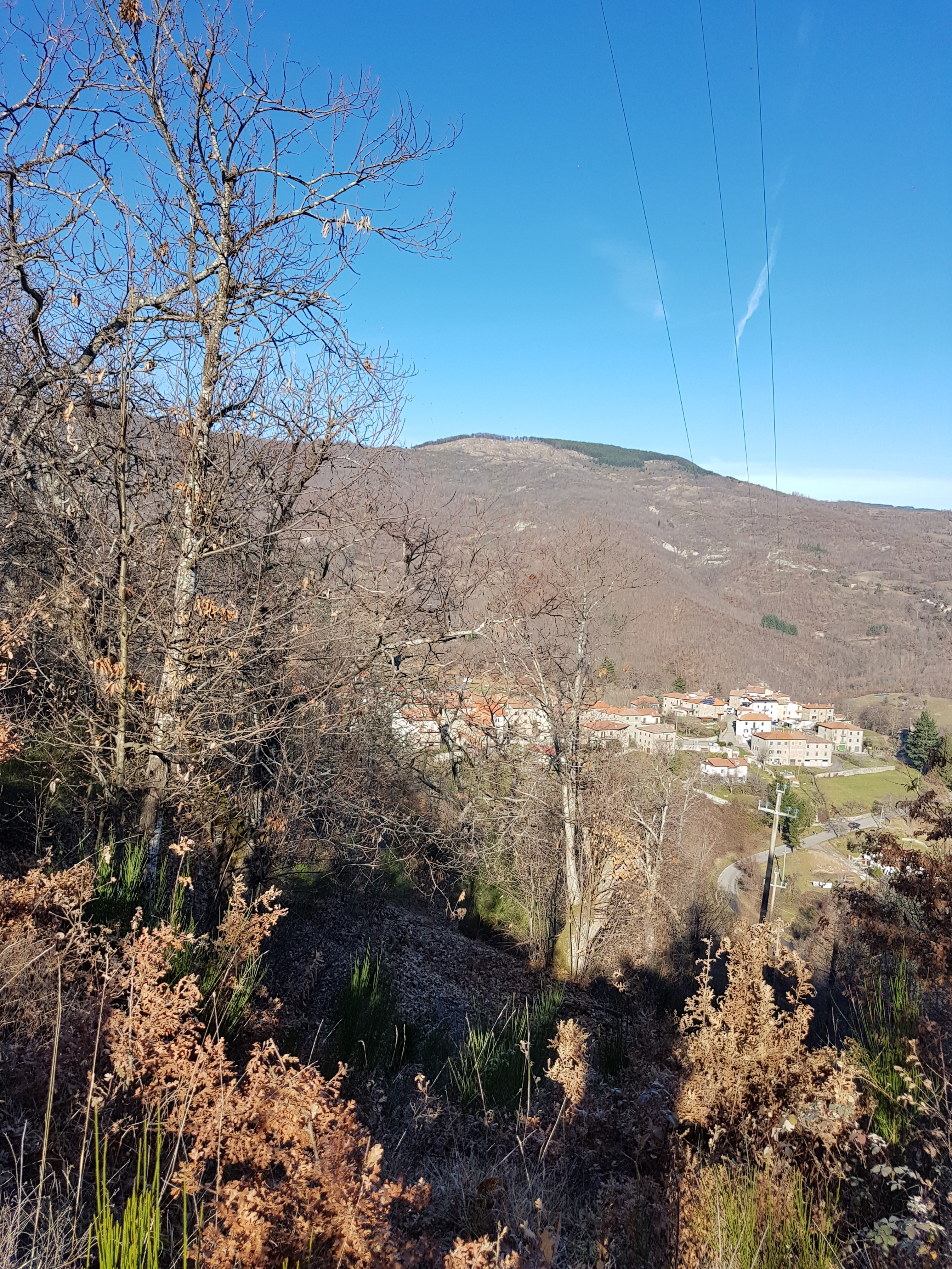
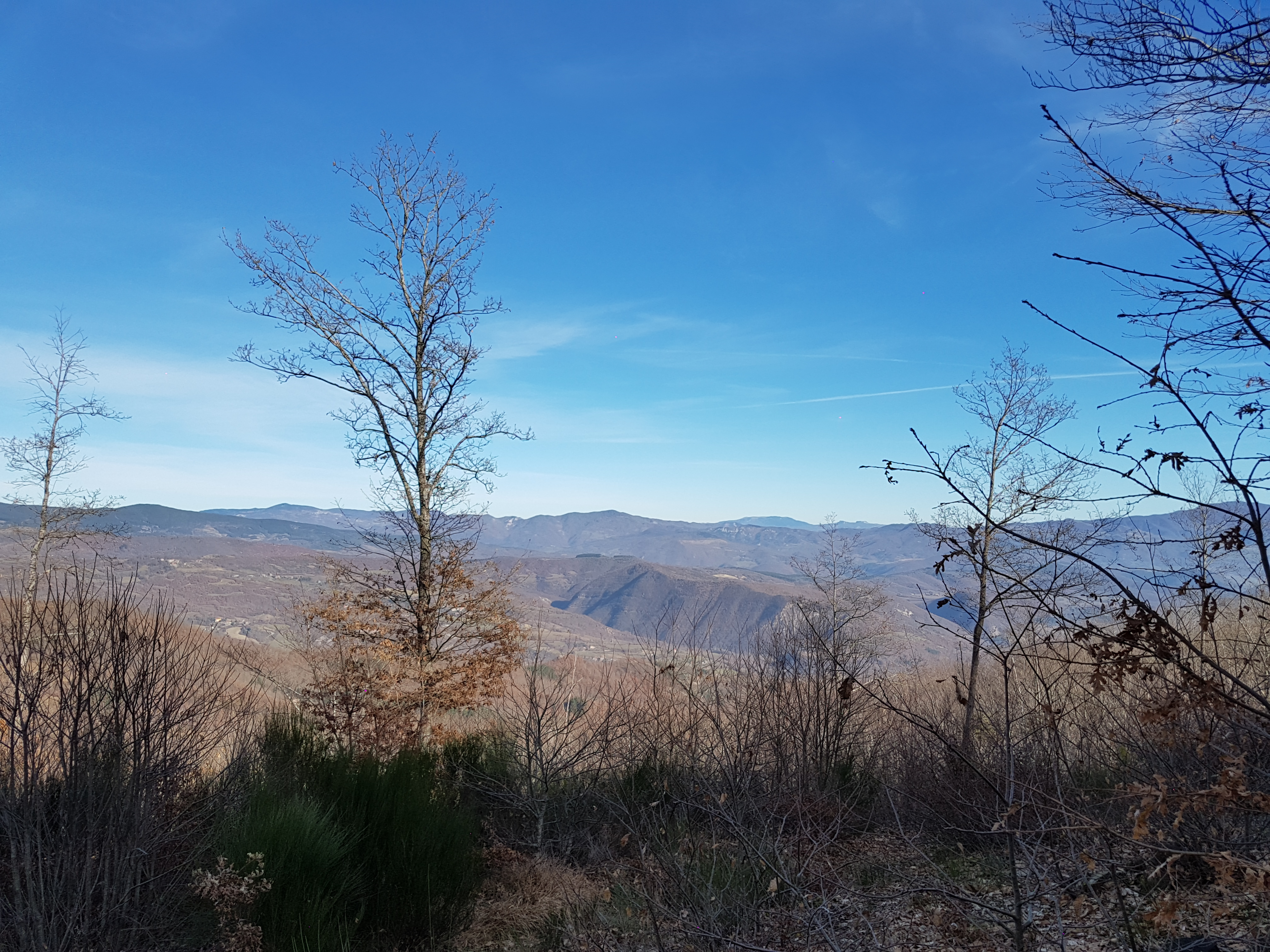
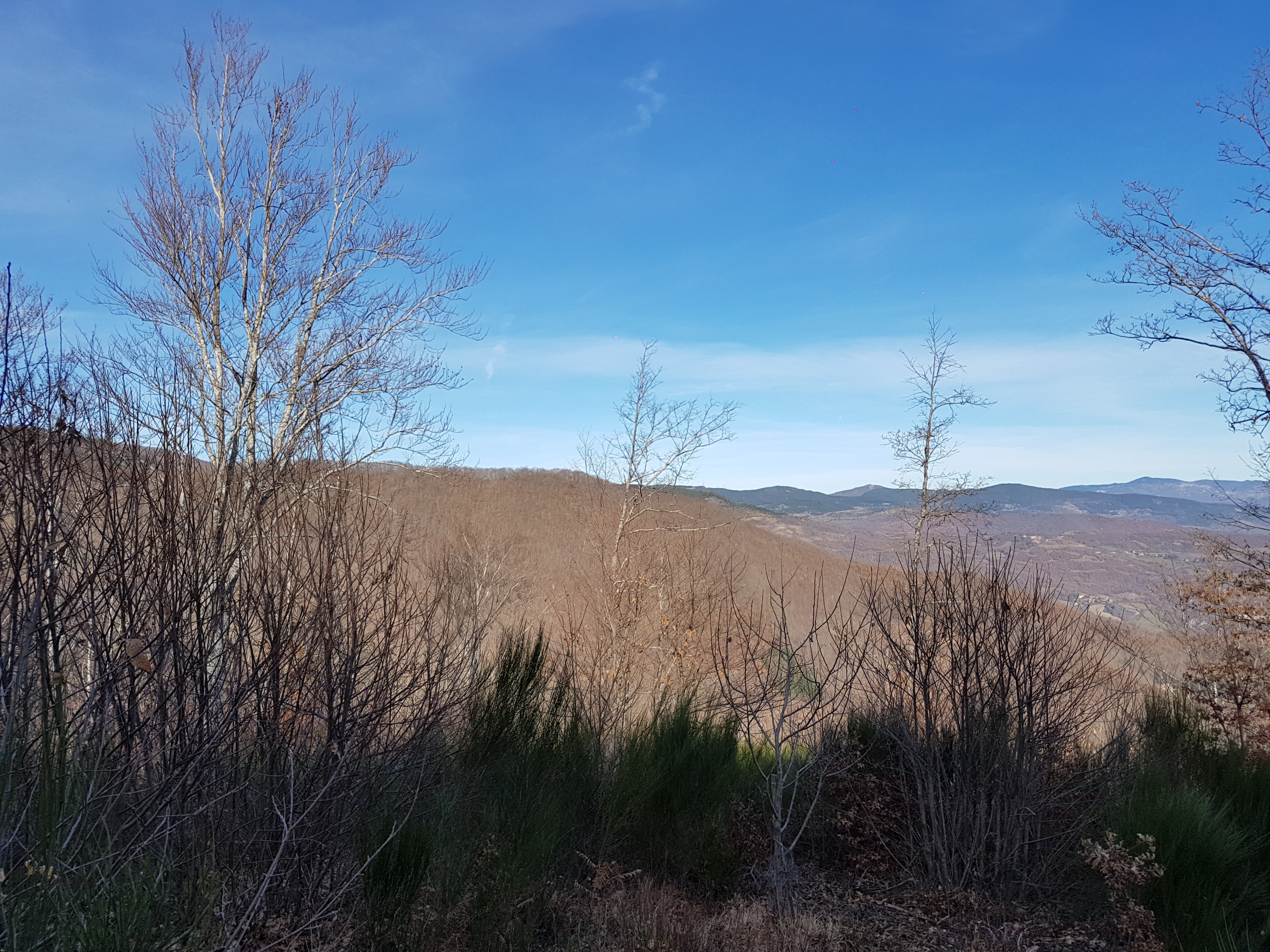
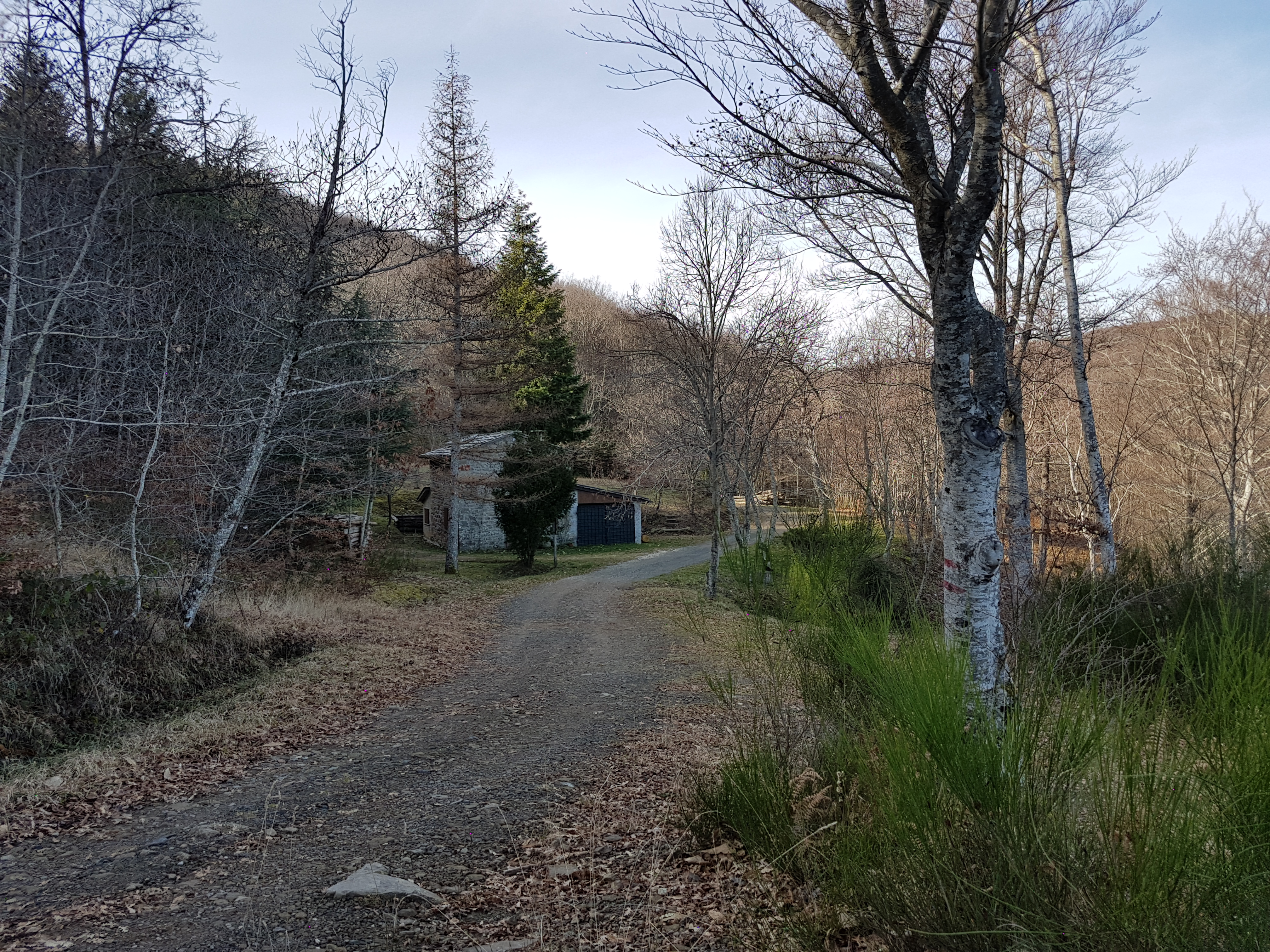
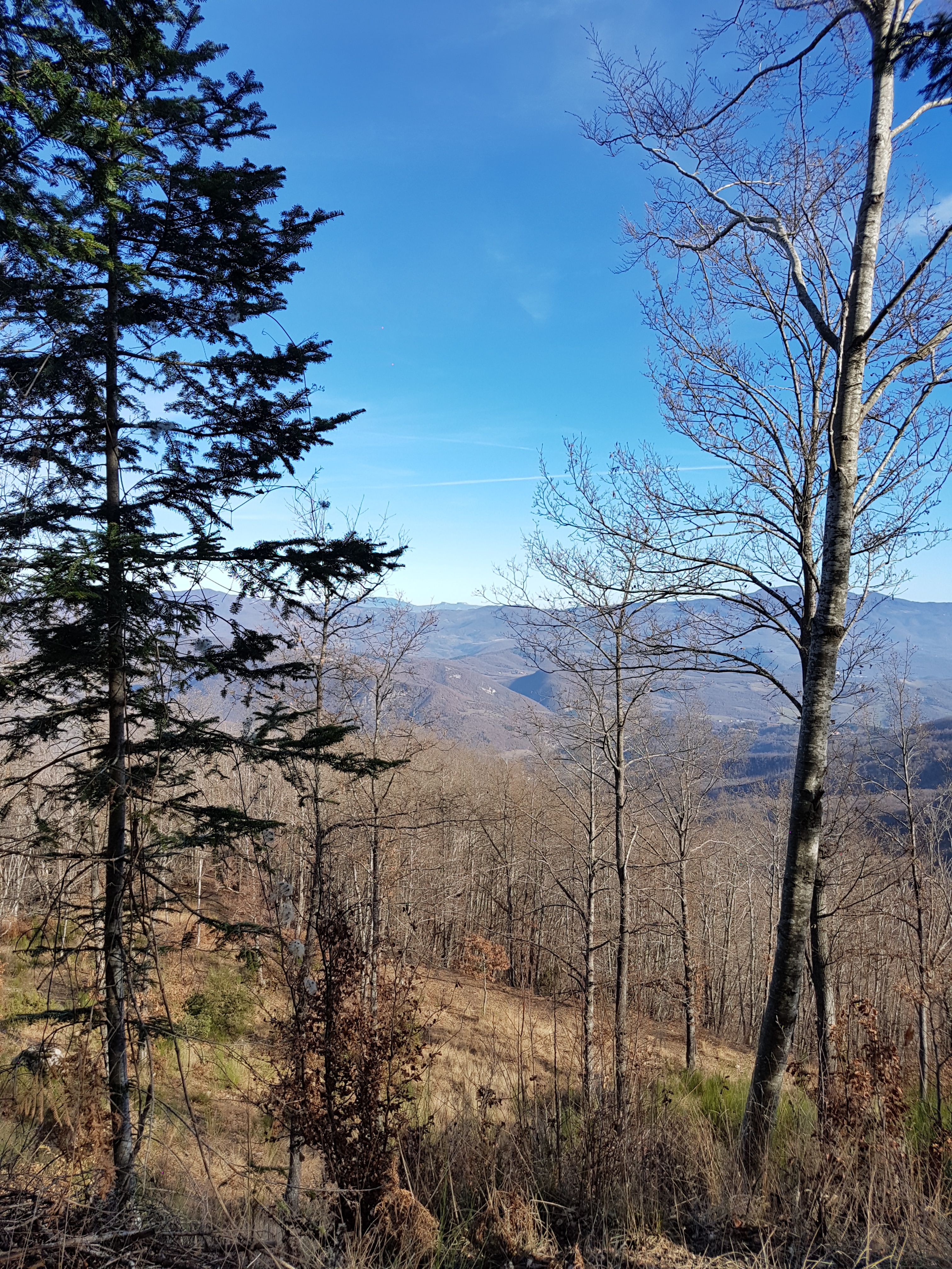
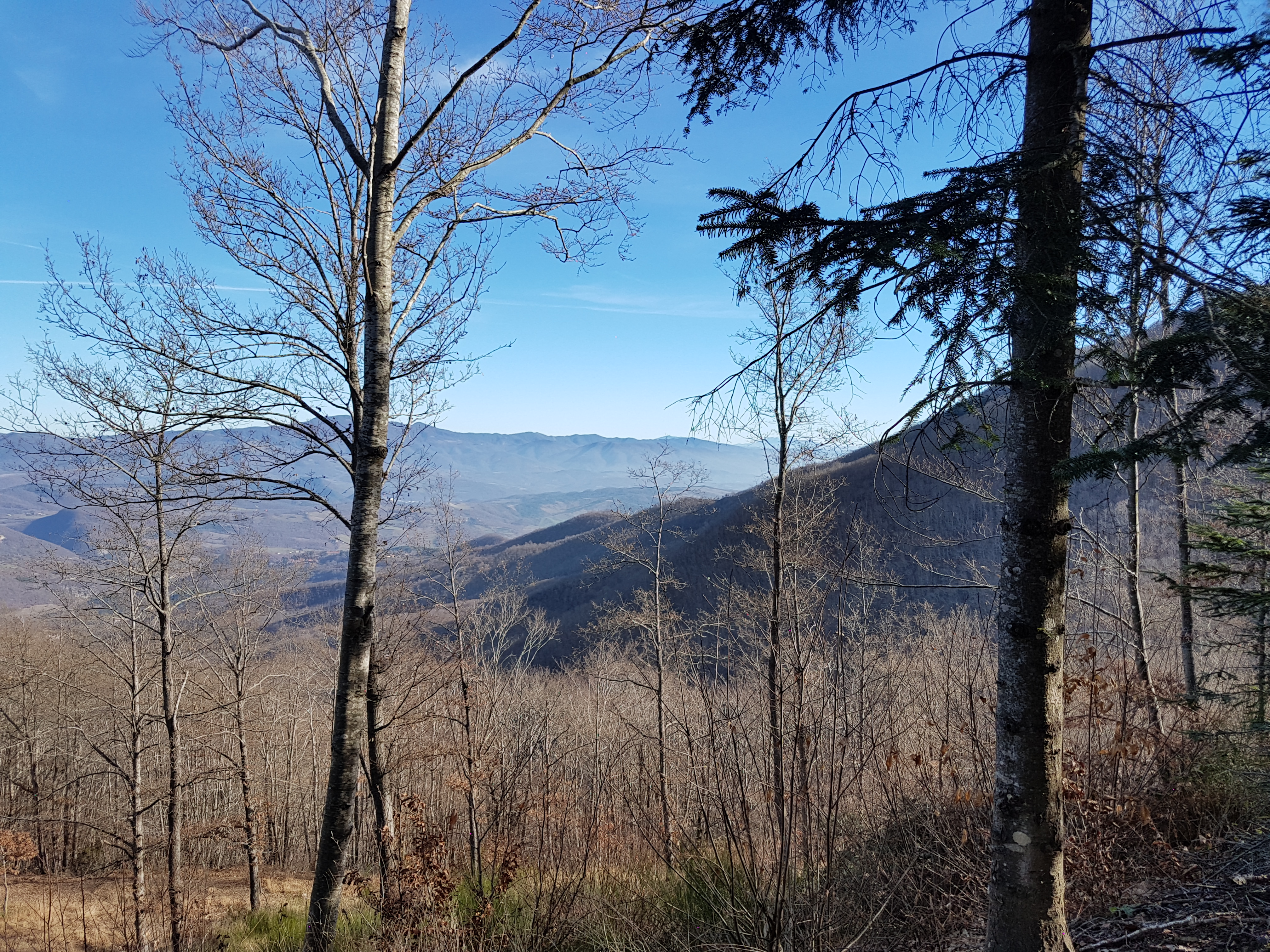
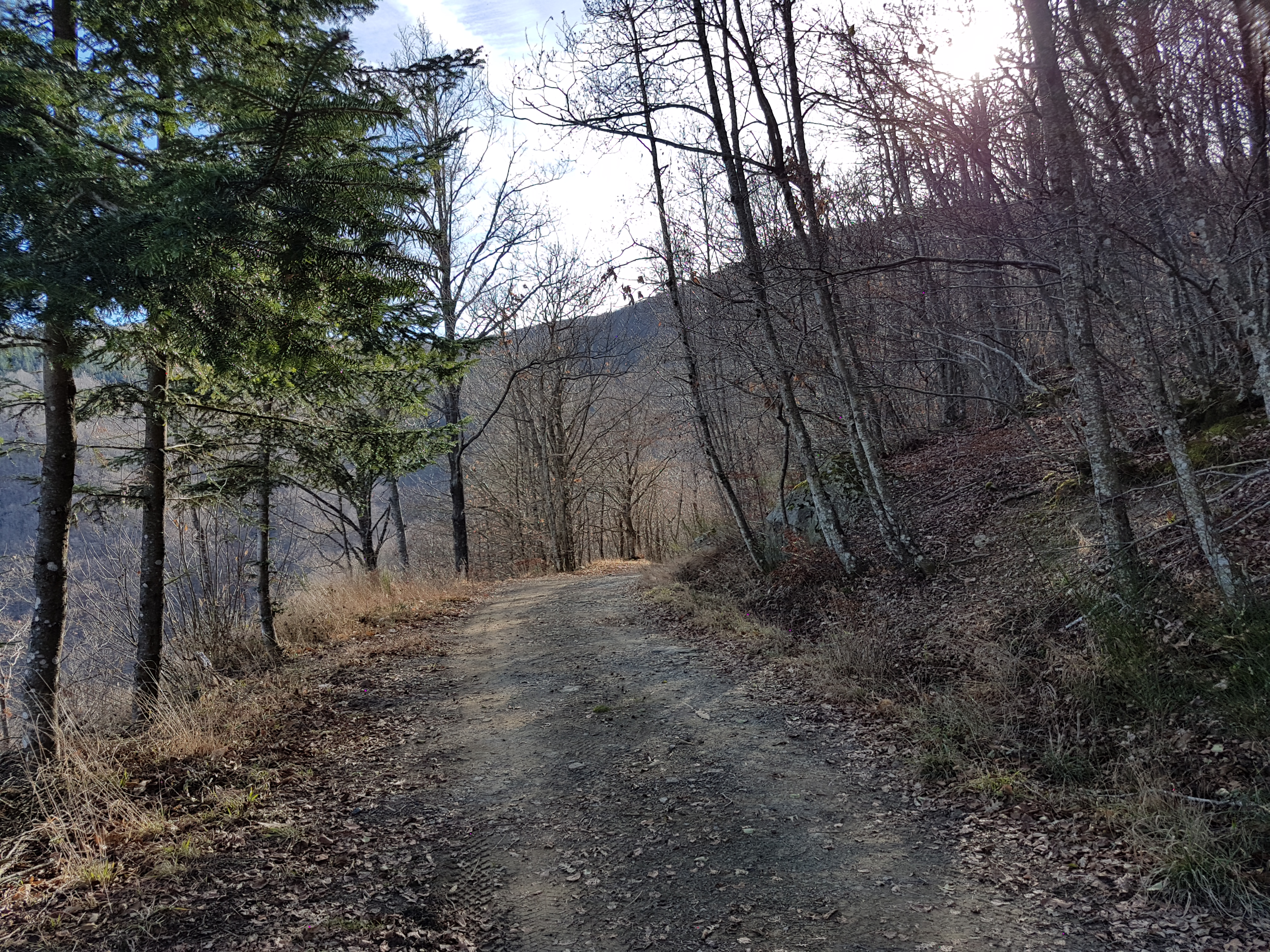
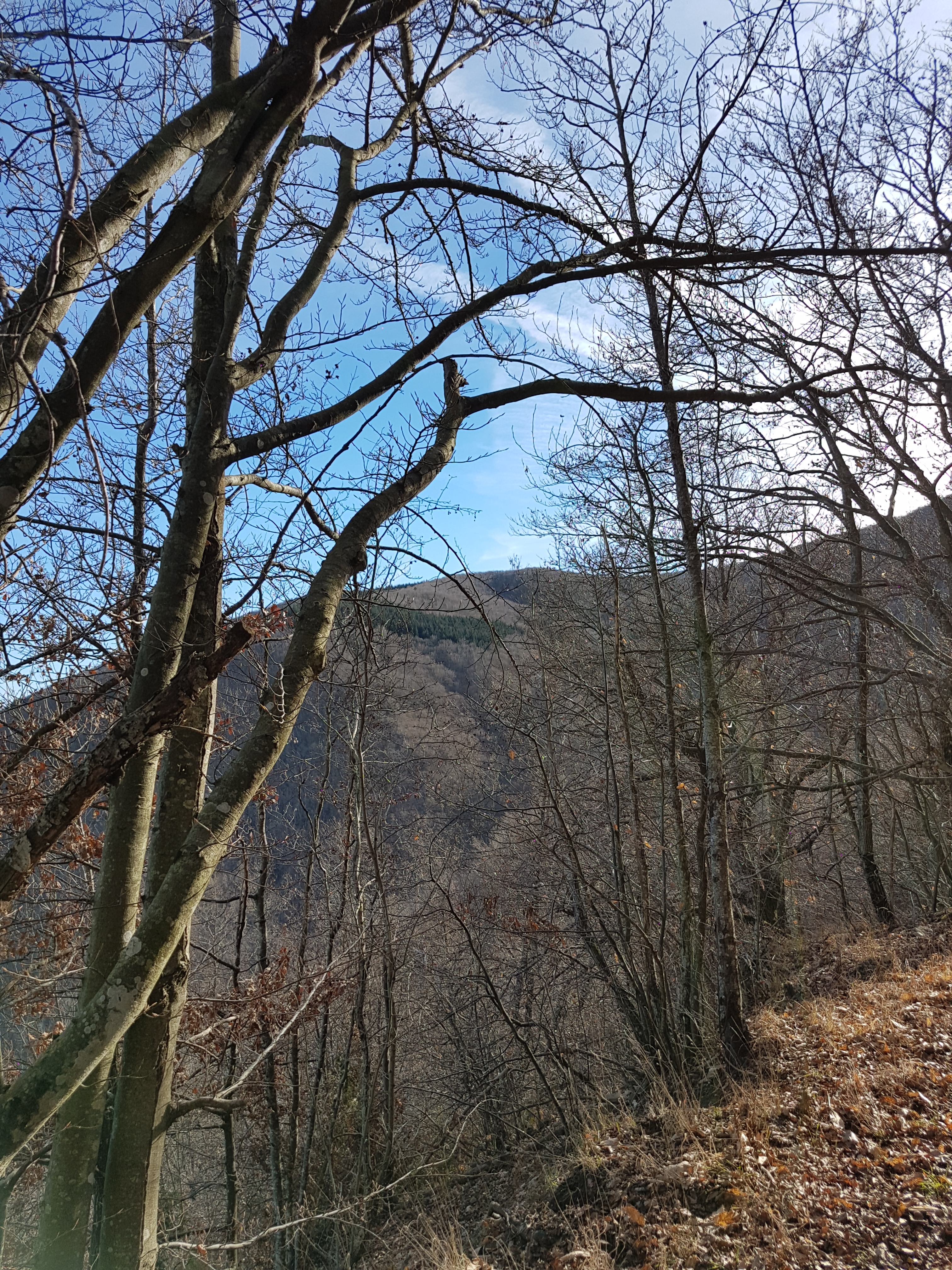
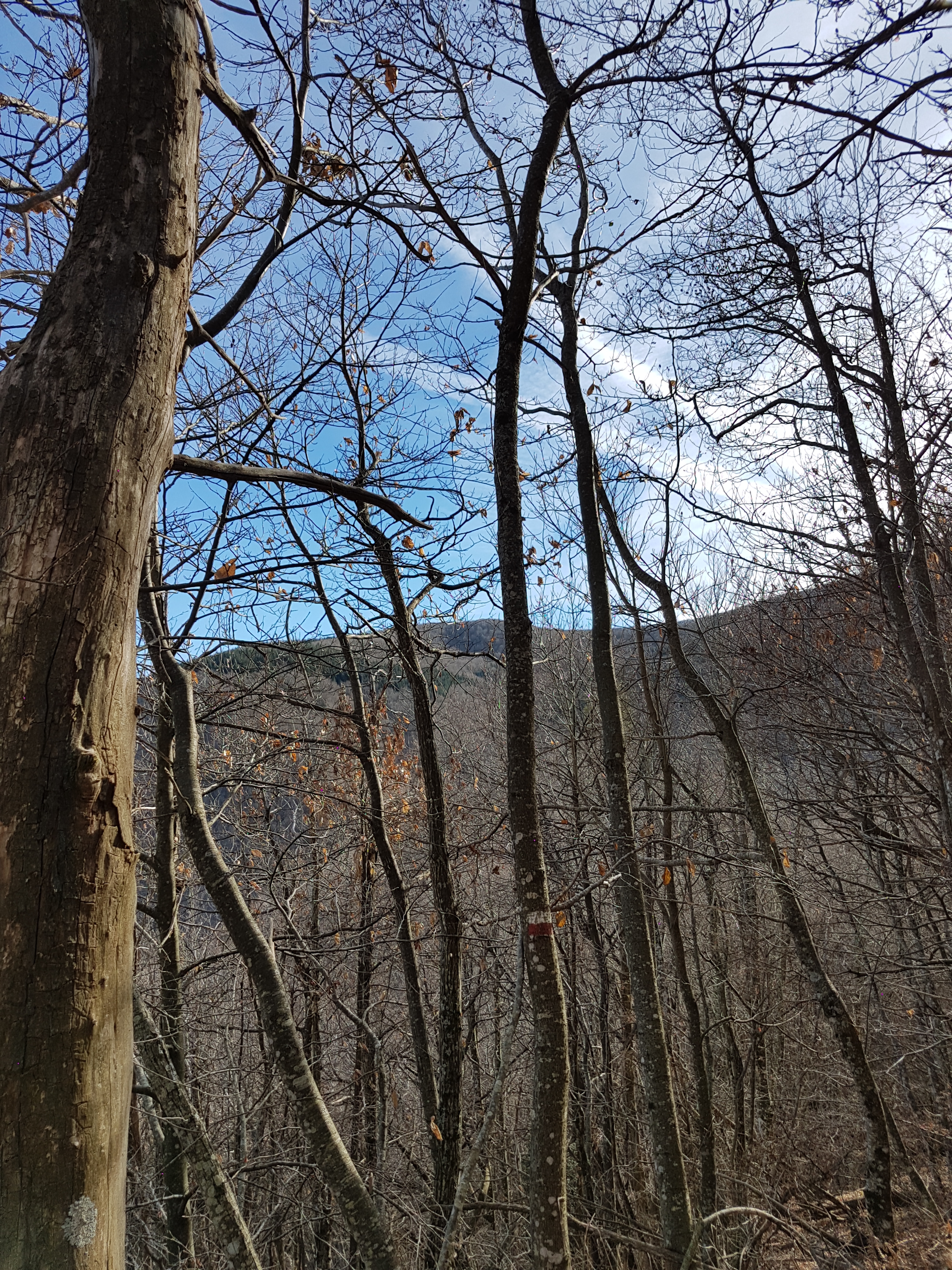
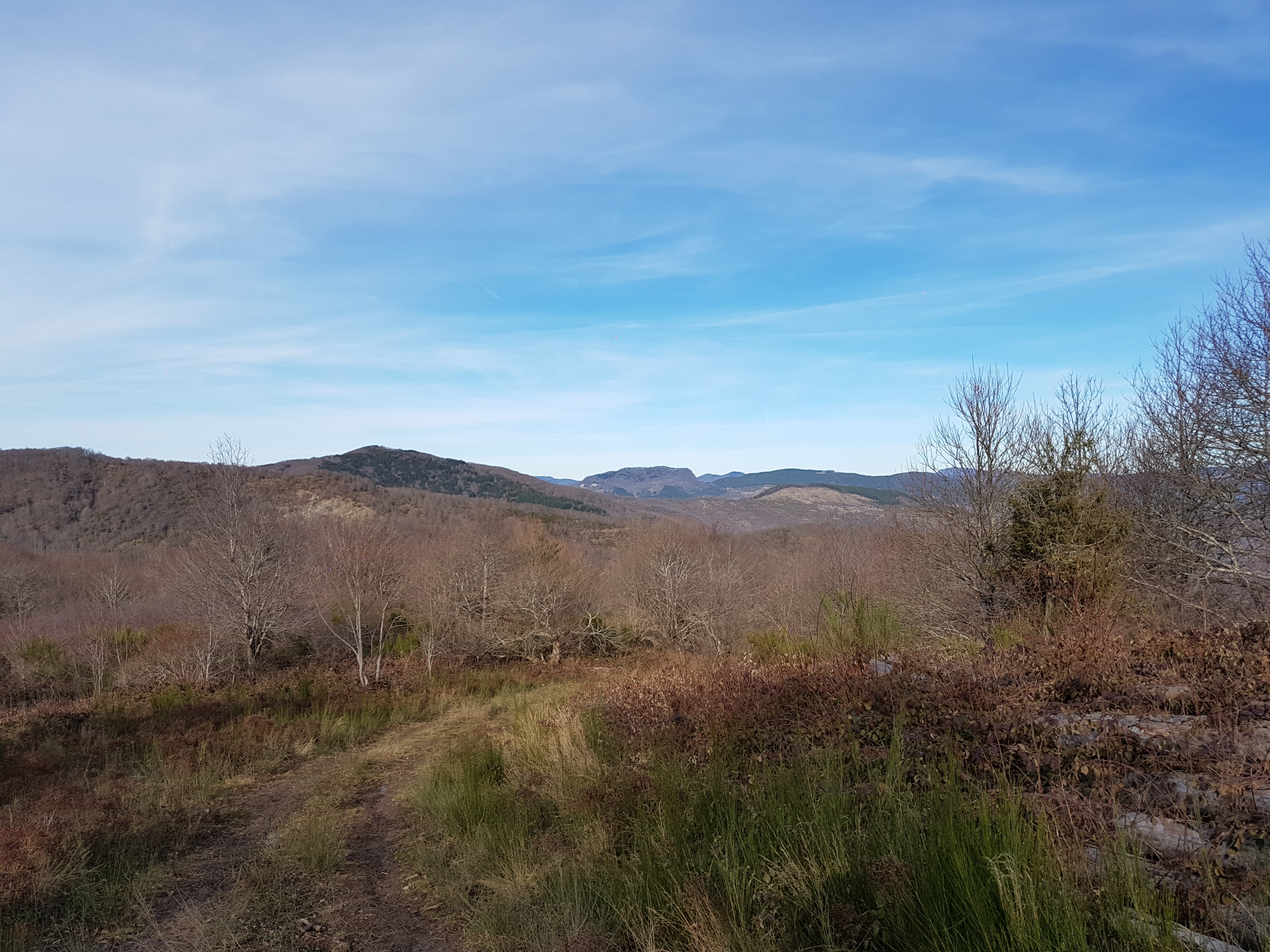
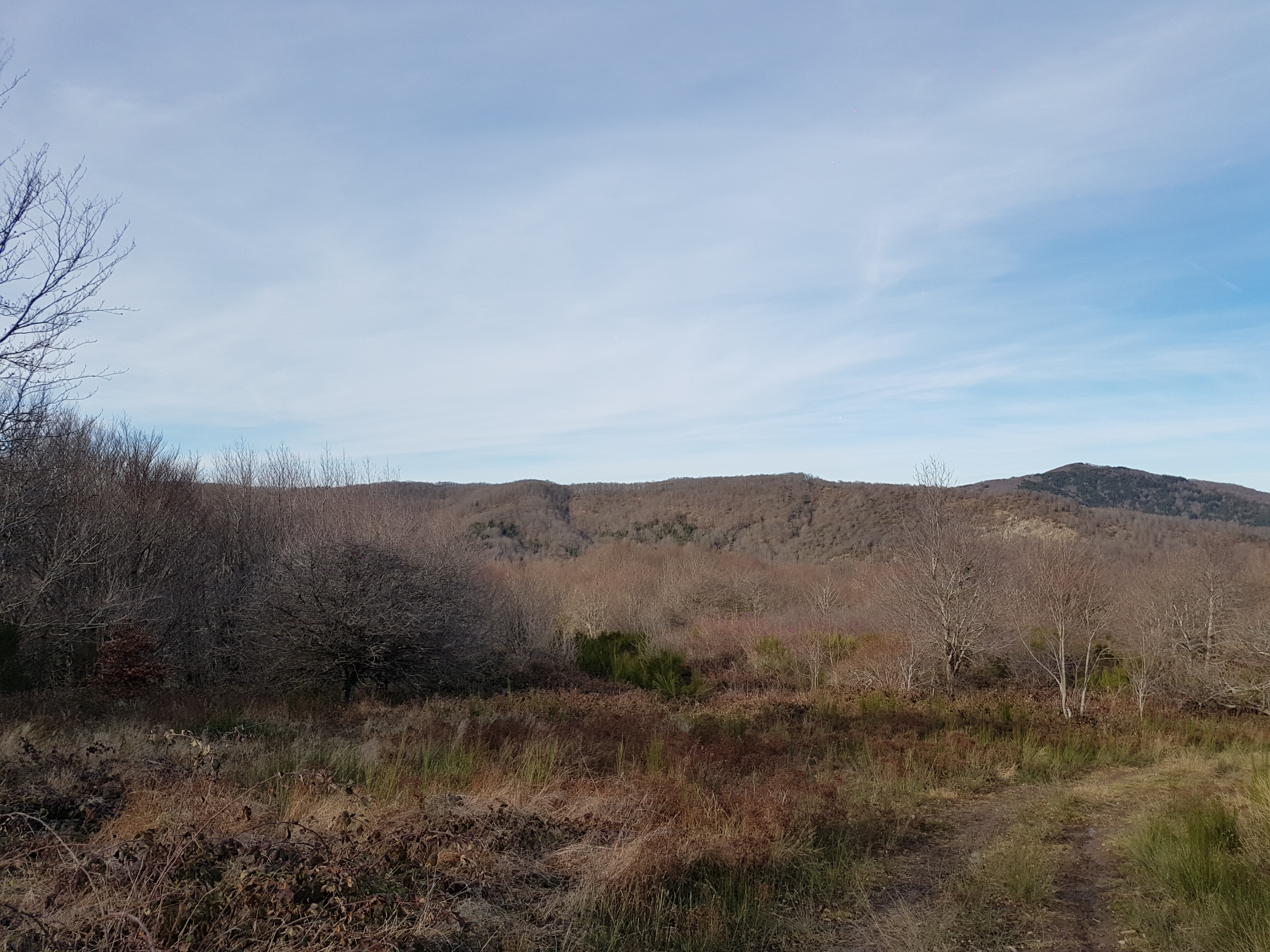
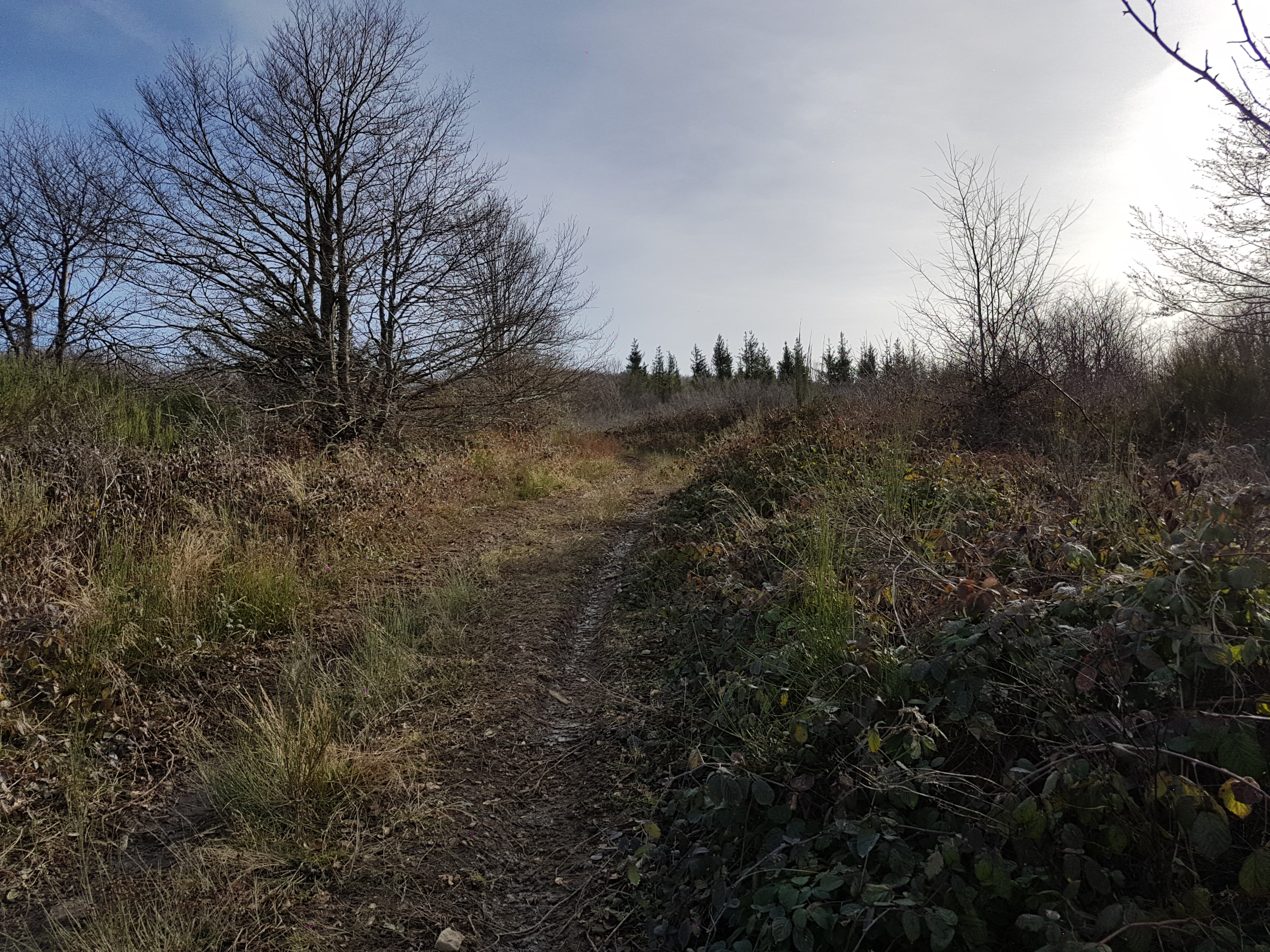
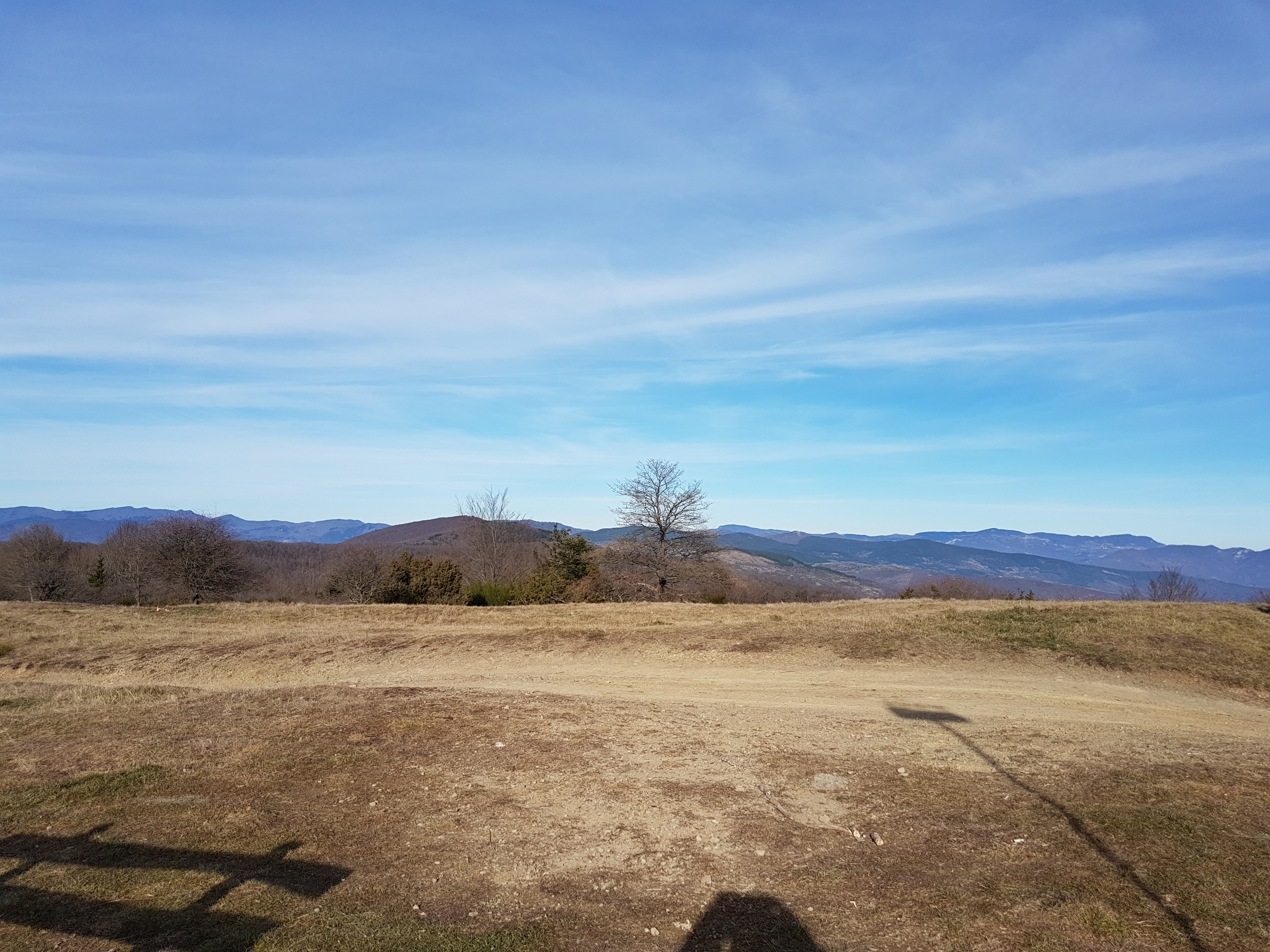
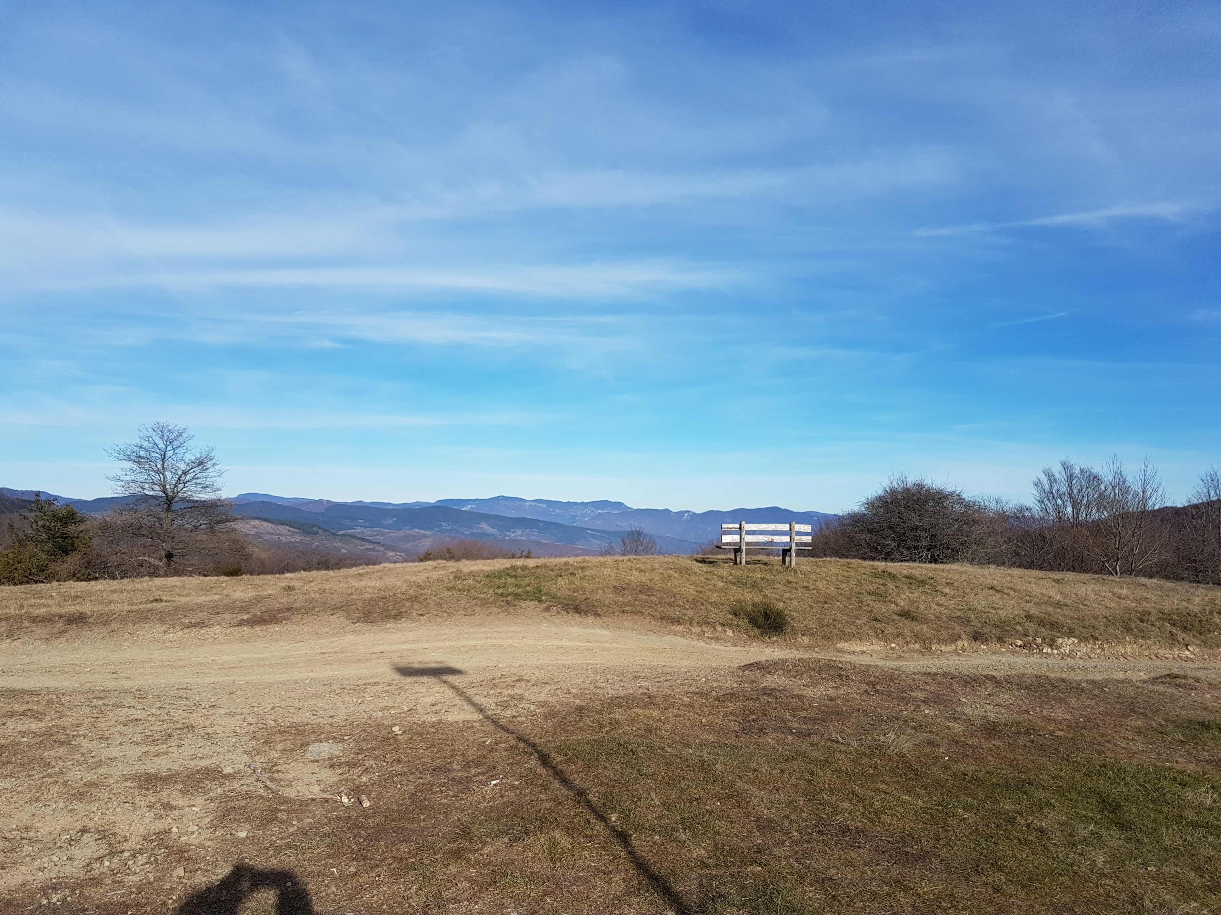
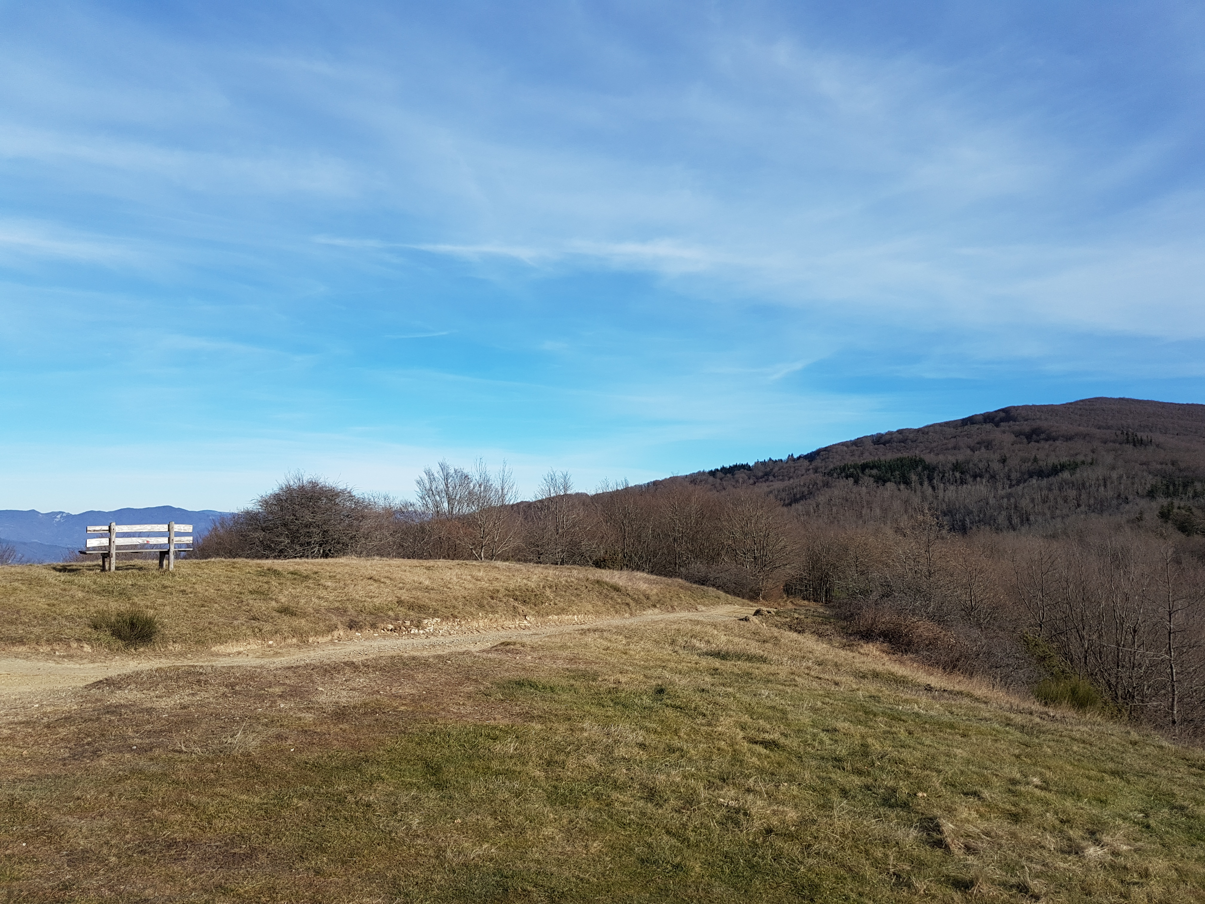
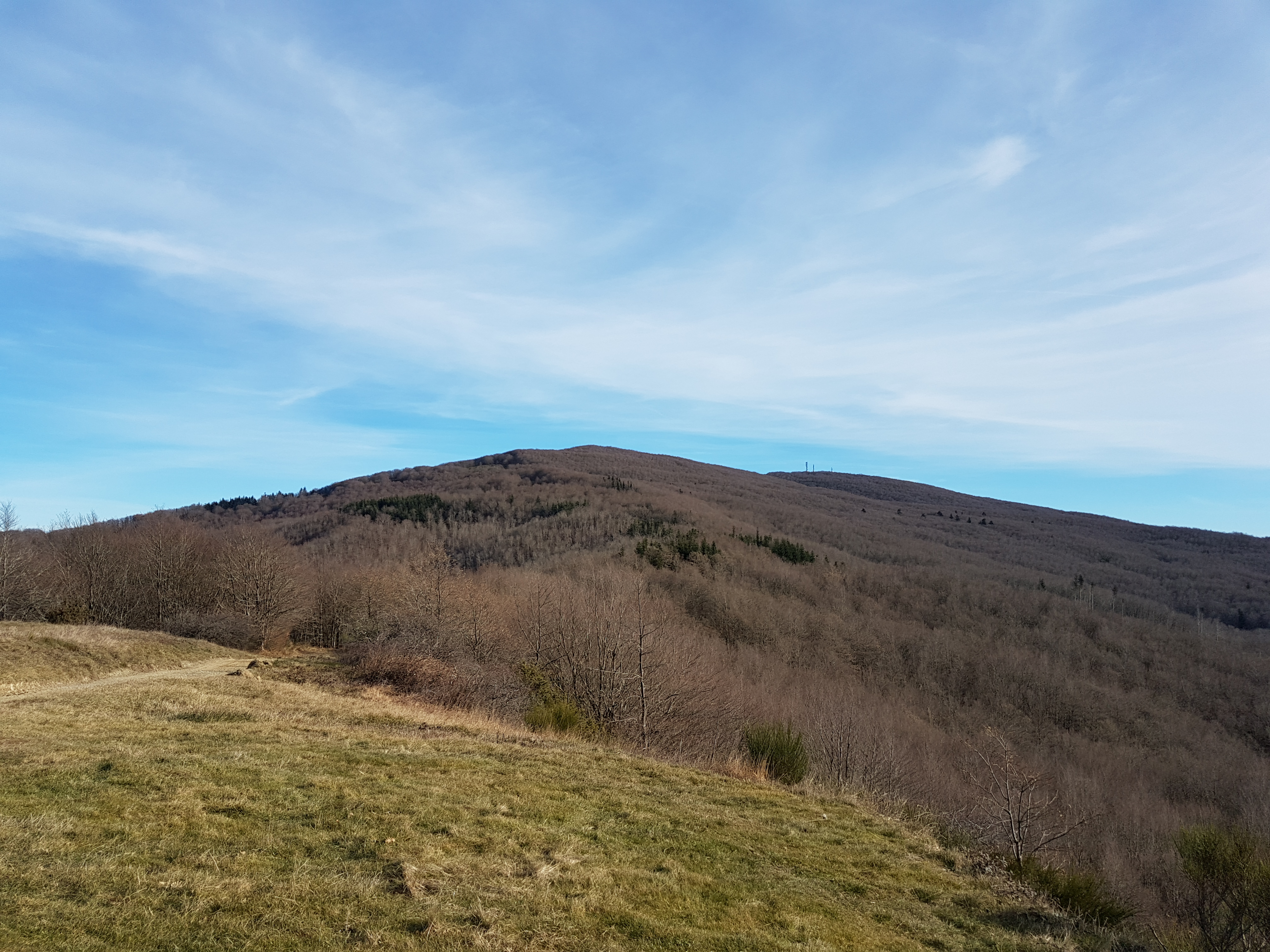
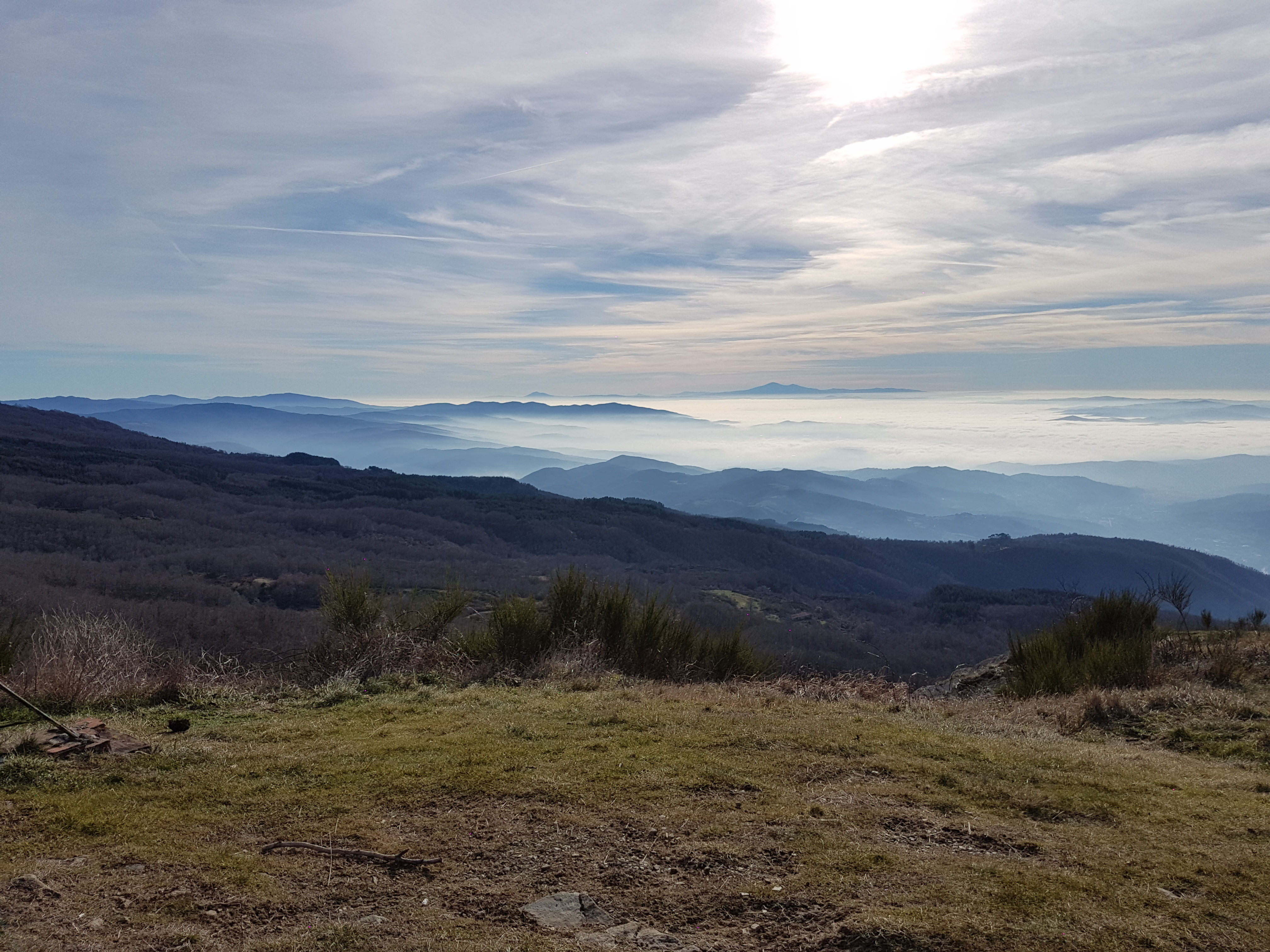
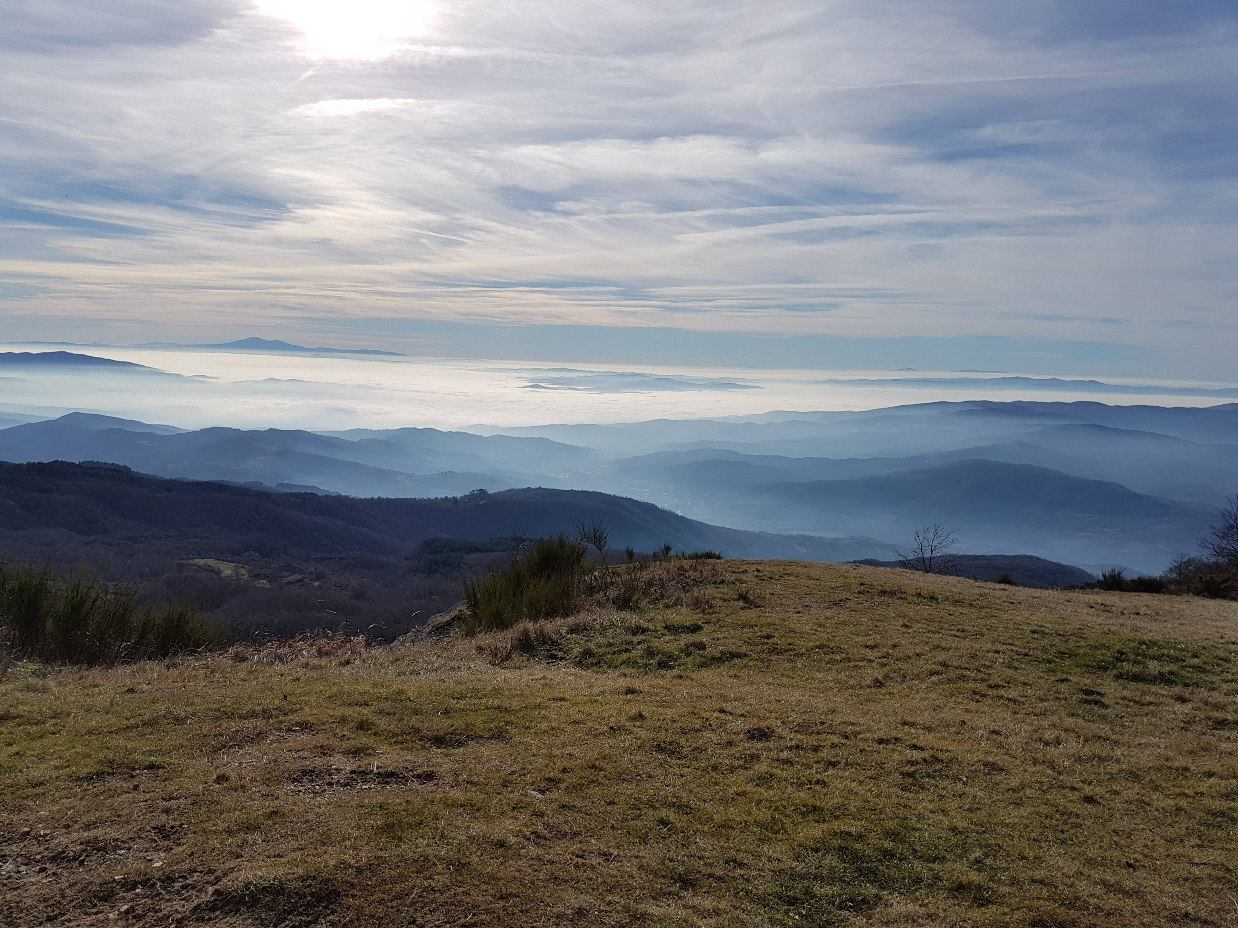
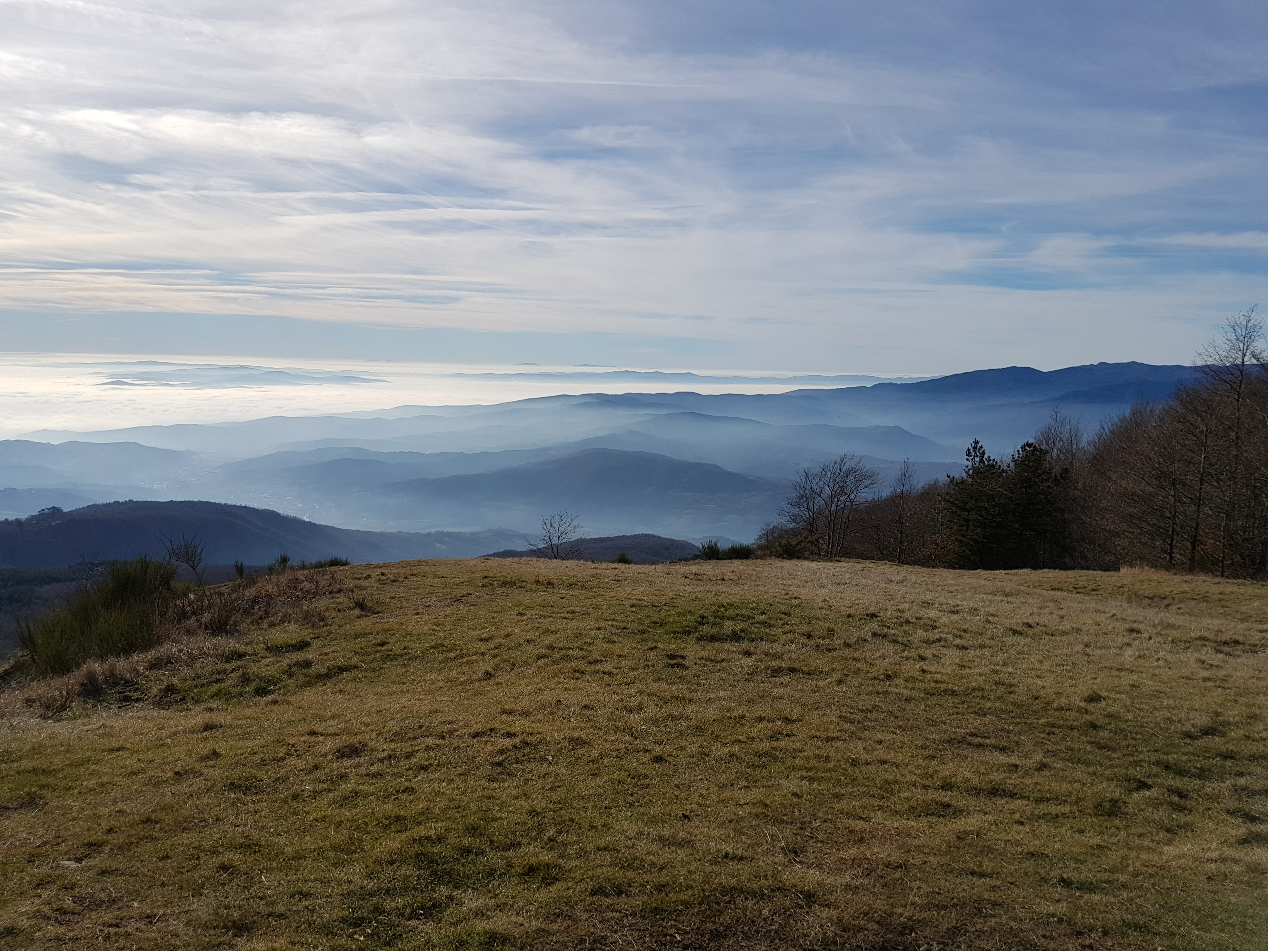
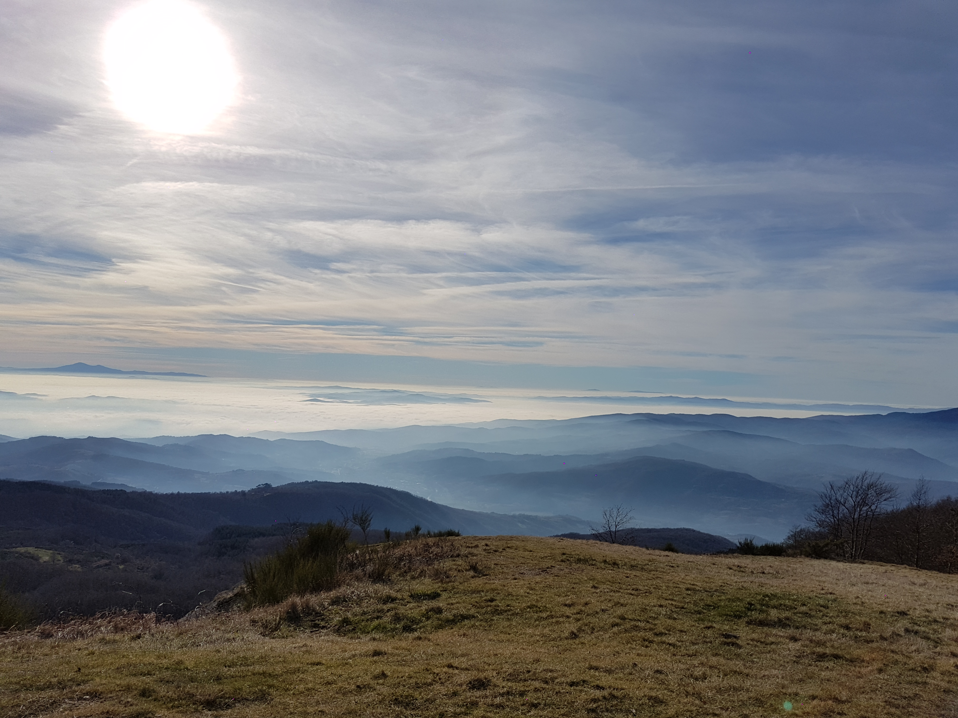
Map of the route “26.12.2016 Eremo della Casella hike”: 19.63 km, 697 m of climbing and 671 m of descent, elevation between 708 m and 1,261 m, time 05:35:08. It is a loop that starts and ends at 43.65058, 11.95656 (latitude, longitude).
Total distance: 19.65 km
Total climbing: 697 m
Total descent: 671 m
Average speed: 4.59 km/h
Download file: 2016-12-26.gpx
Total climbing: 697 m
Total descent: 671 m
Average speed: 4.59 km/h
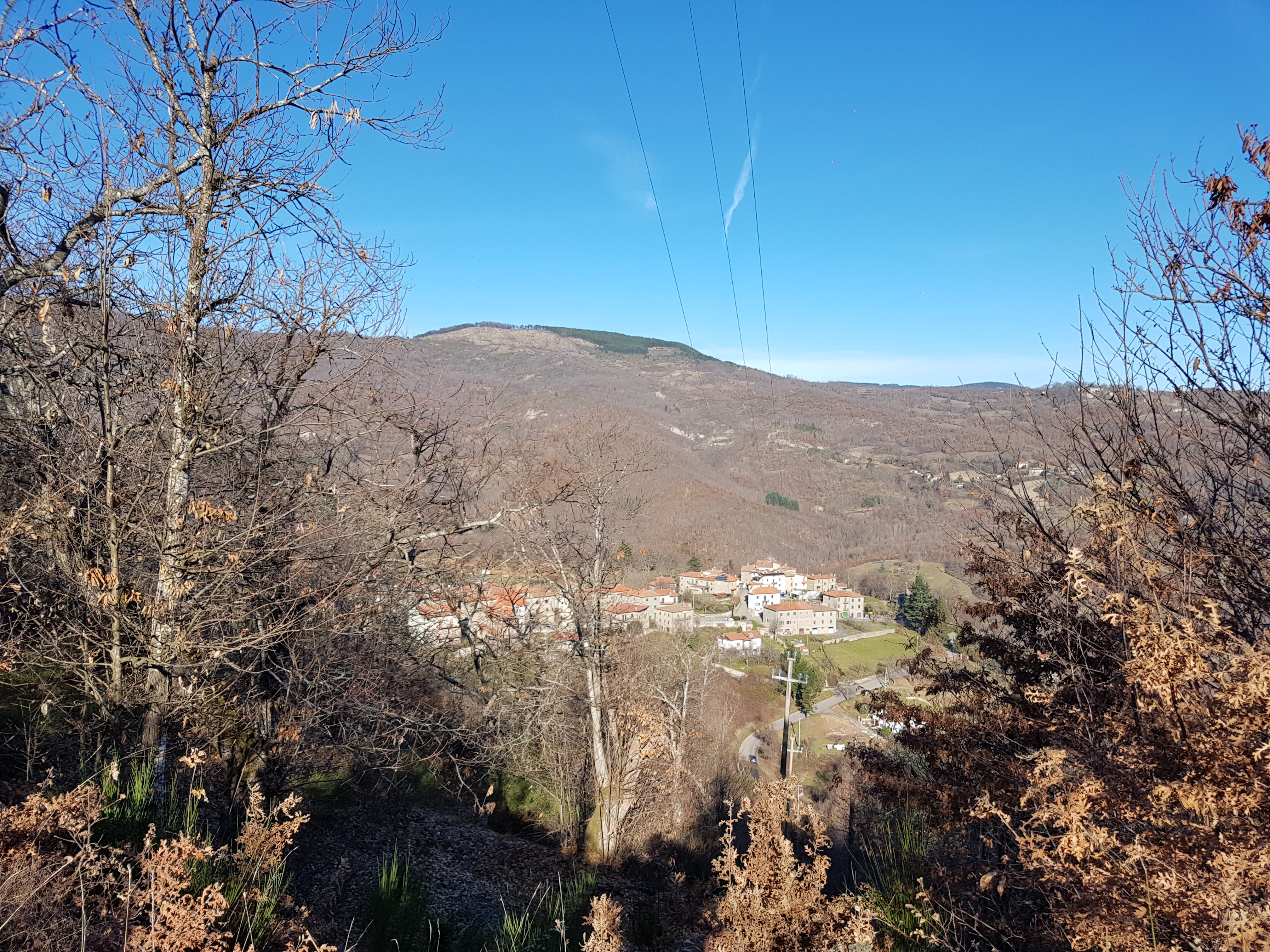
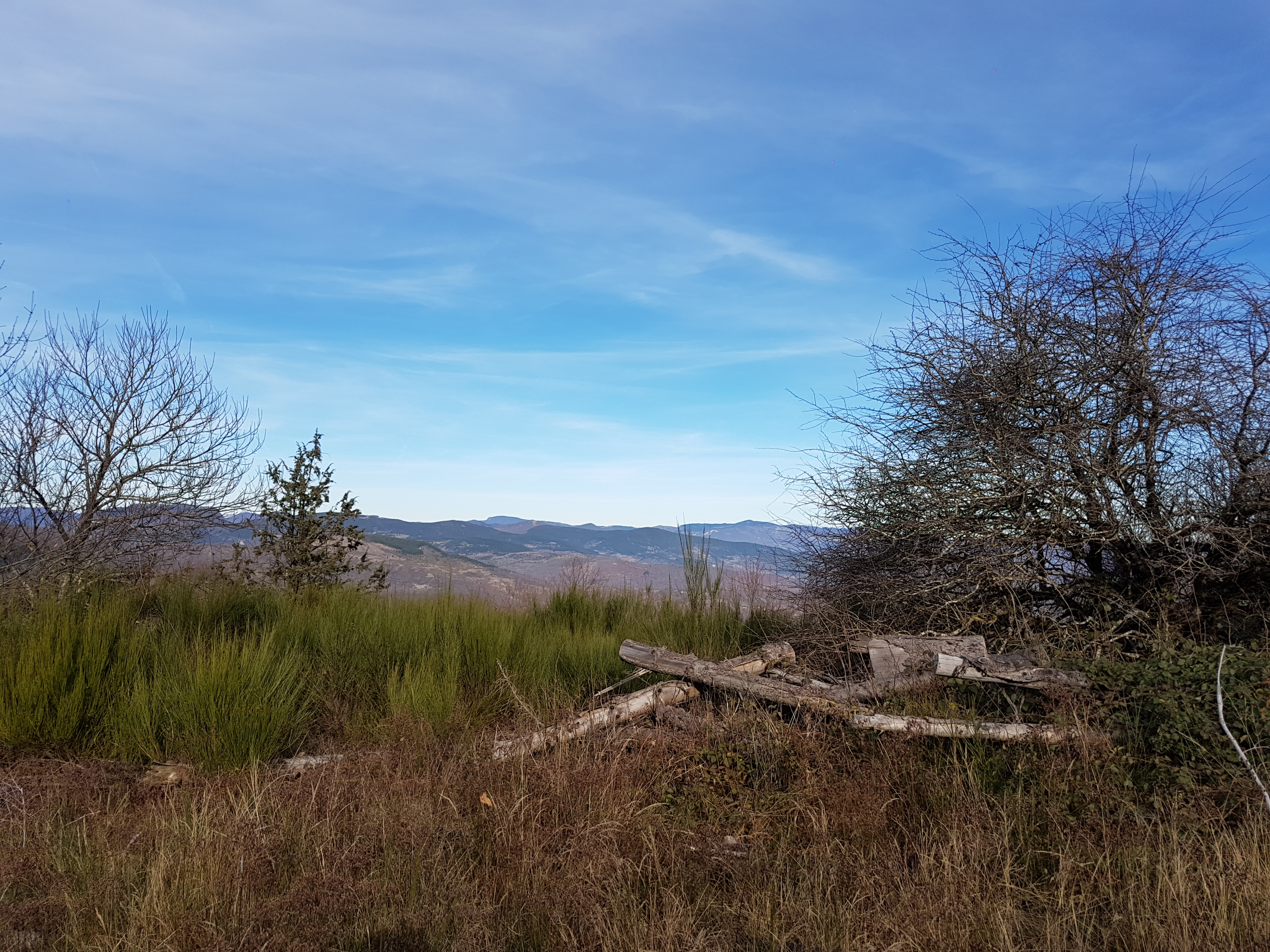
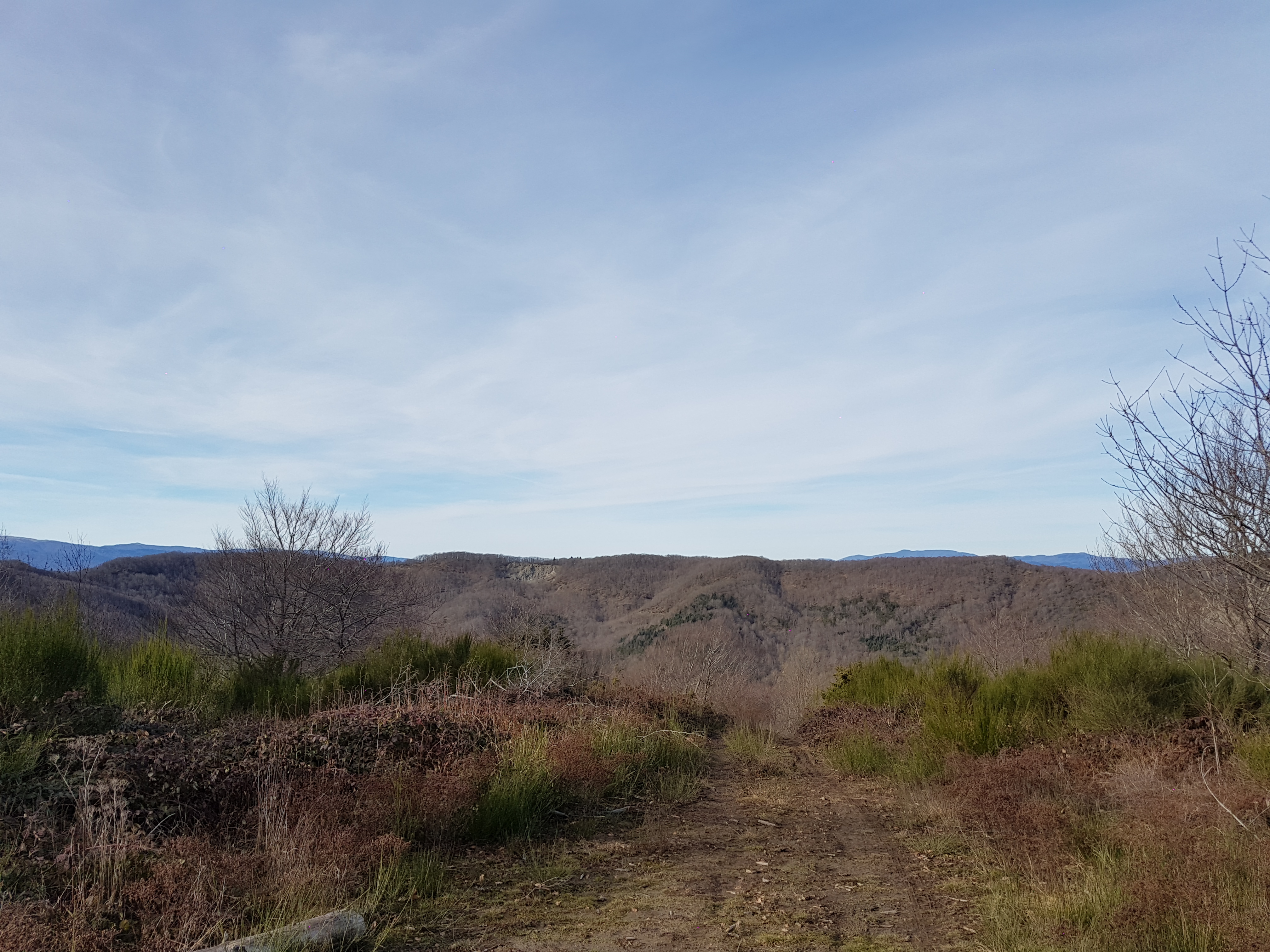
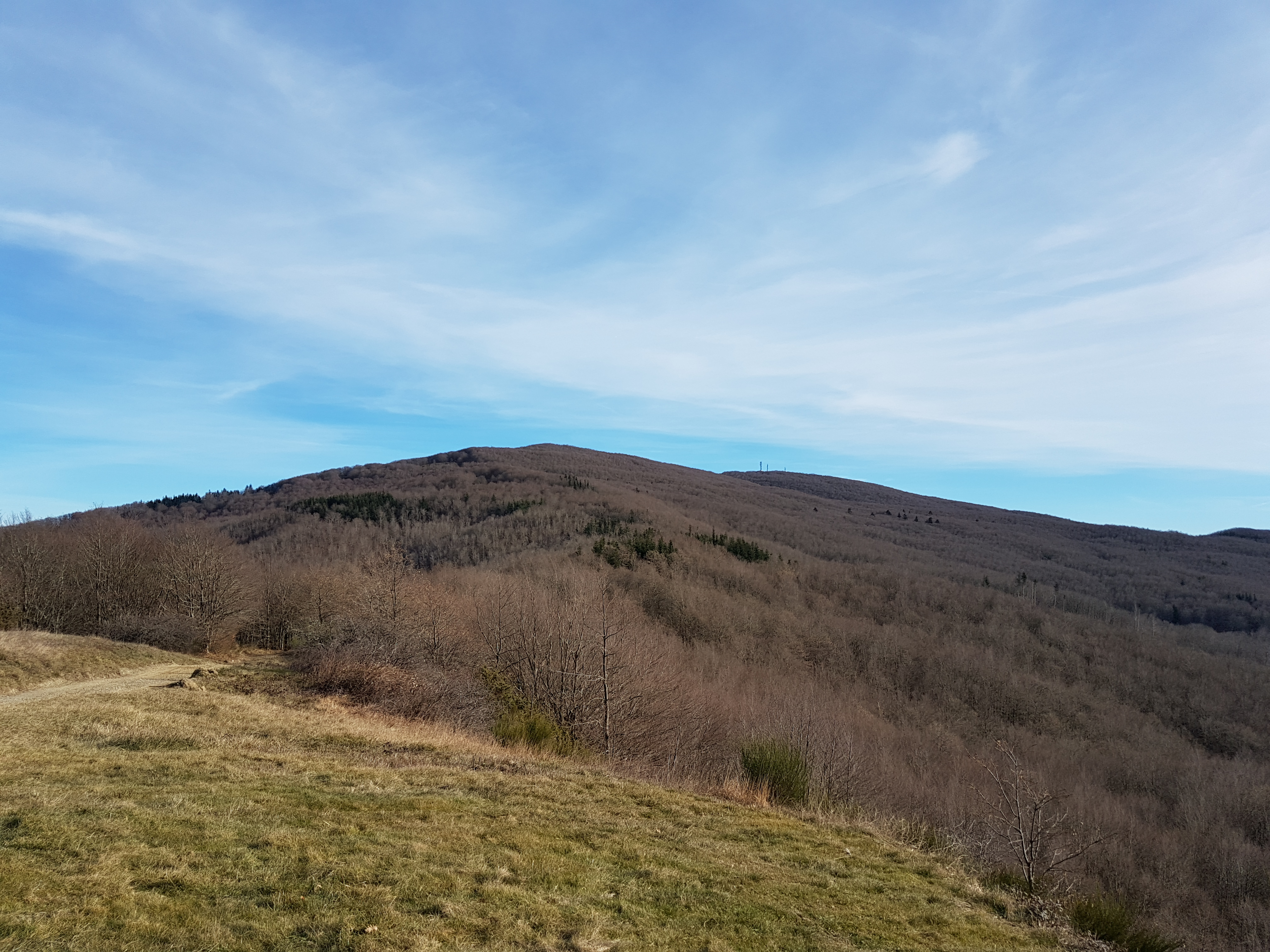
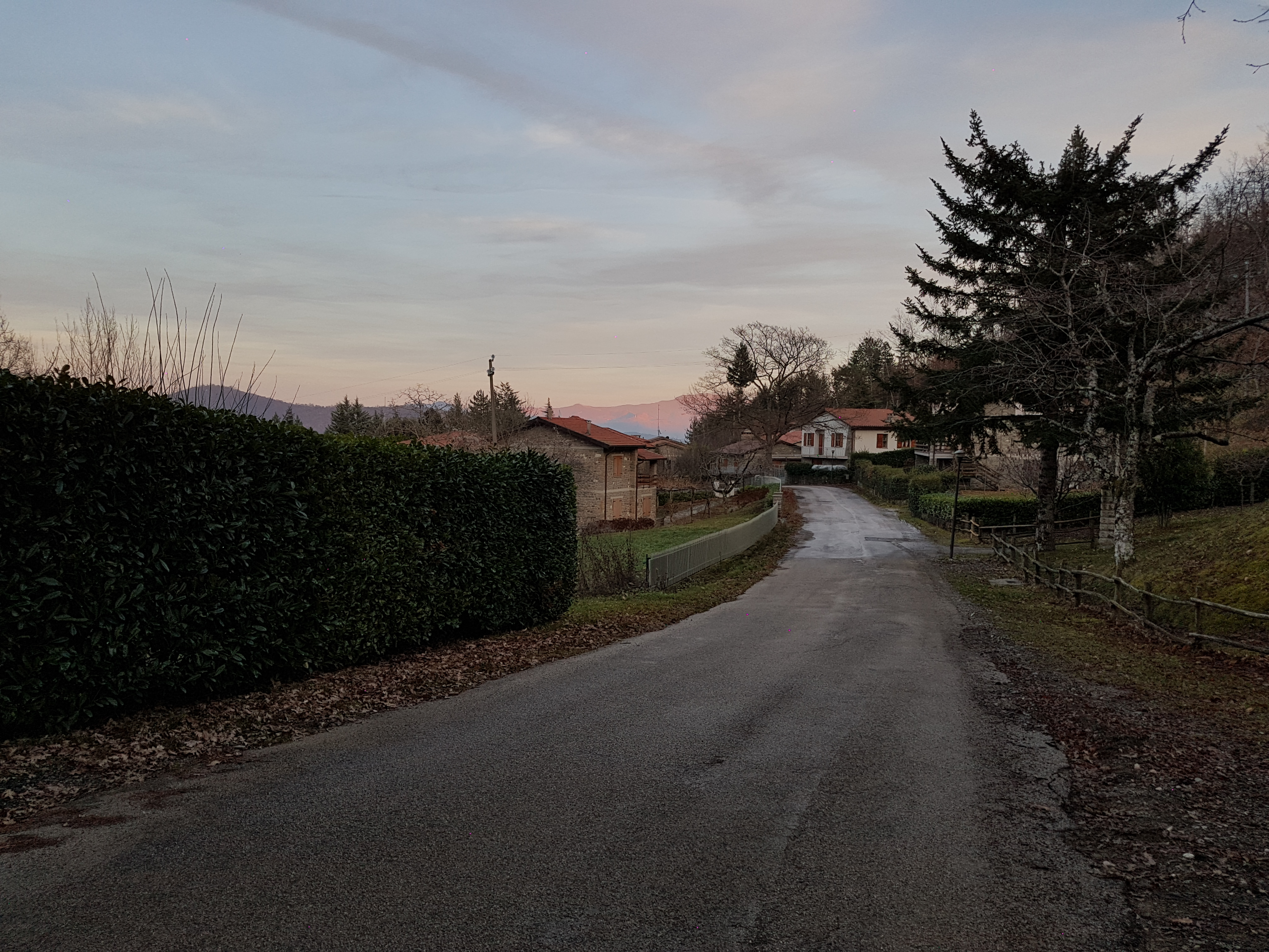
Related Images:


 by