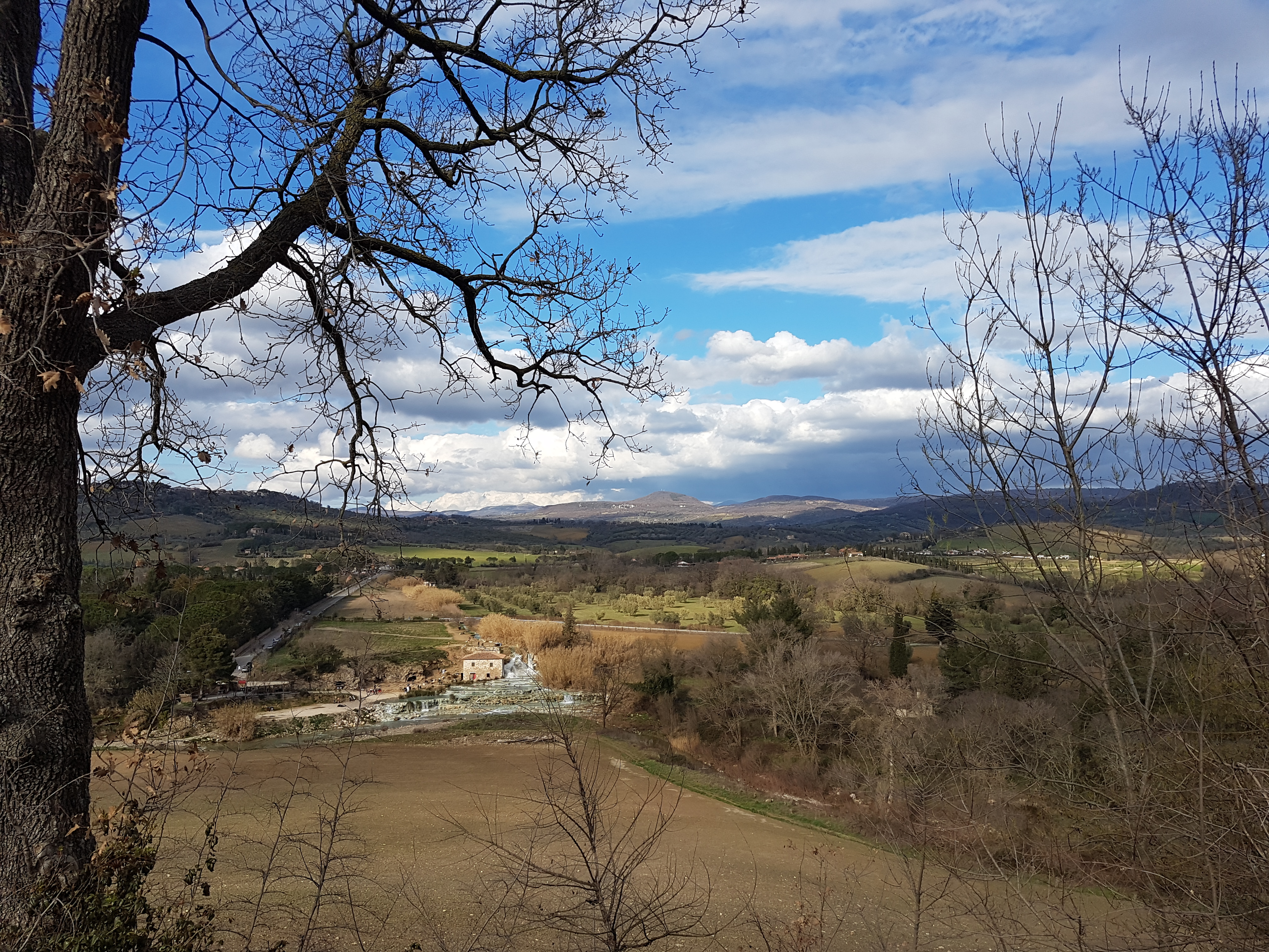
Map of the route “Cascate del Mulino Saturnia 9.2.2018”: 516.37 km, 5,739 m of climbing and 5,717 m of descent, elevation between 46 m and 782 m, time 13:36:45. It is a loop that starts and ends at 43.65052, 11.95670 (latitude, longitude).
Total distance: 519.1 km
Total climbing: 5739 m
Total descent: 5717 m
Average speed: 76.18 km/h
Download file: 2018-02-09%201042__20180209_1042.gpx
Total climbing: 5739 m
Total descent: 5717 m
Average speed: 76.18 km/h
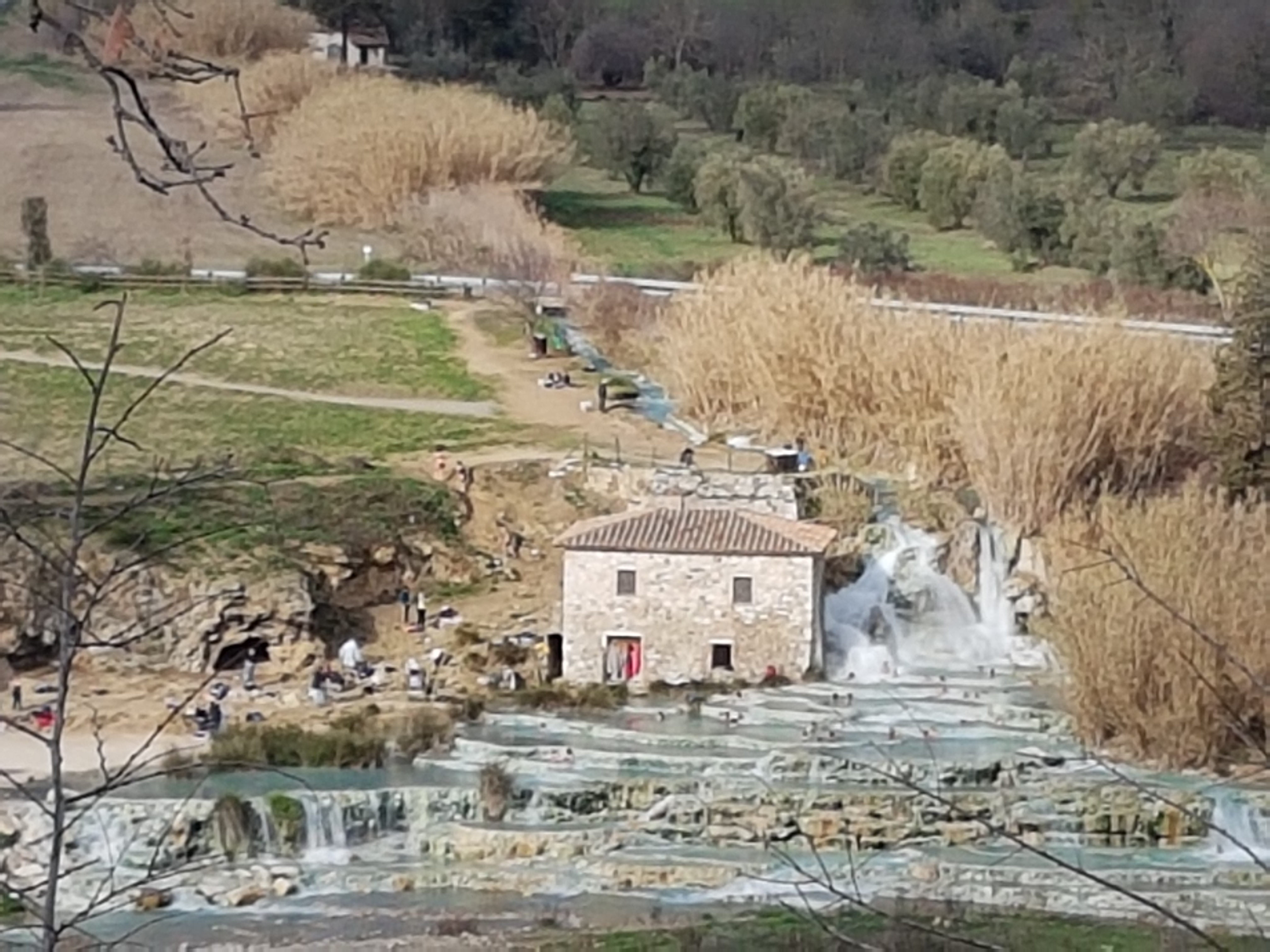
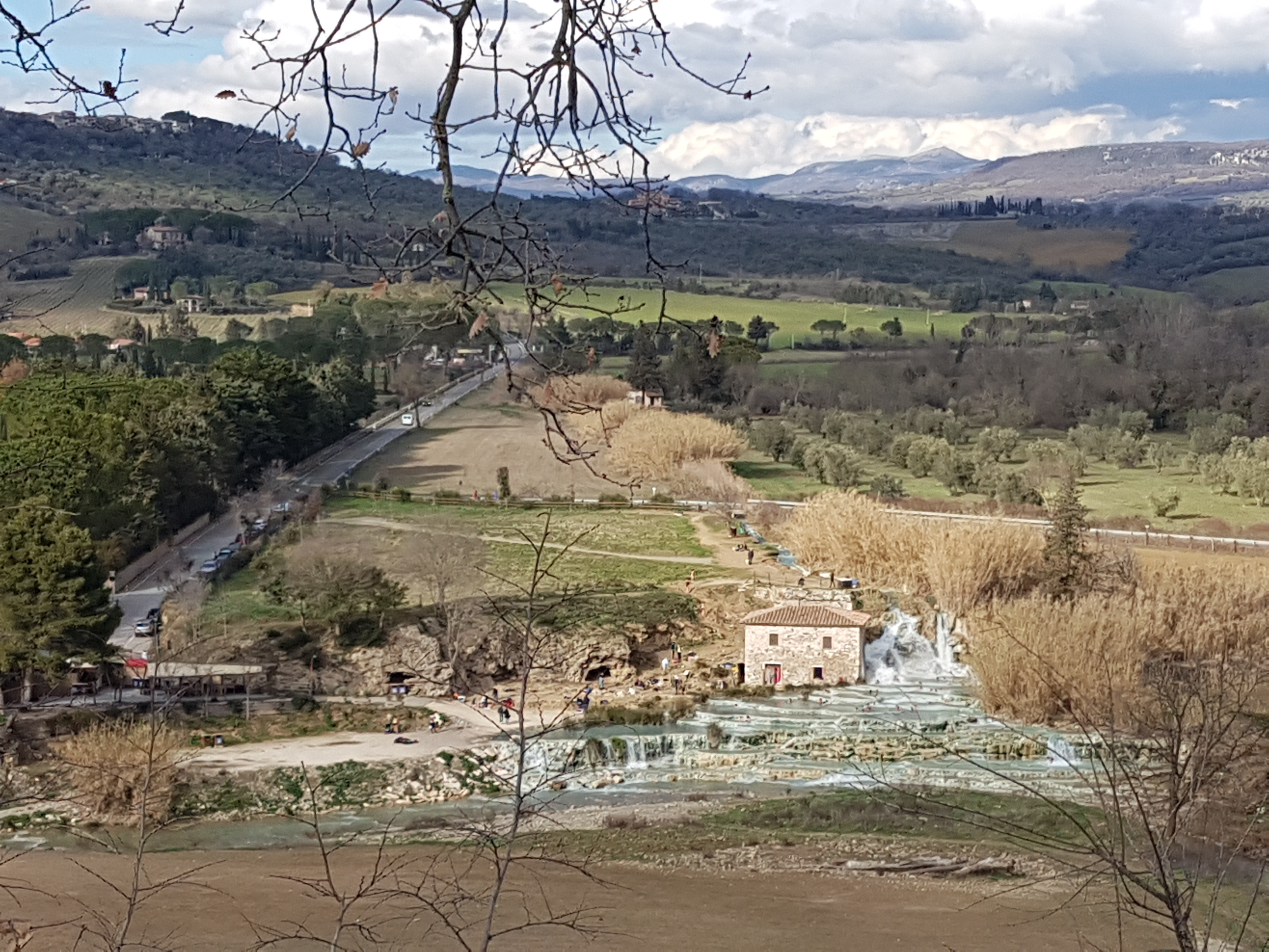
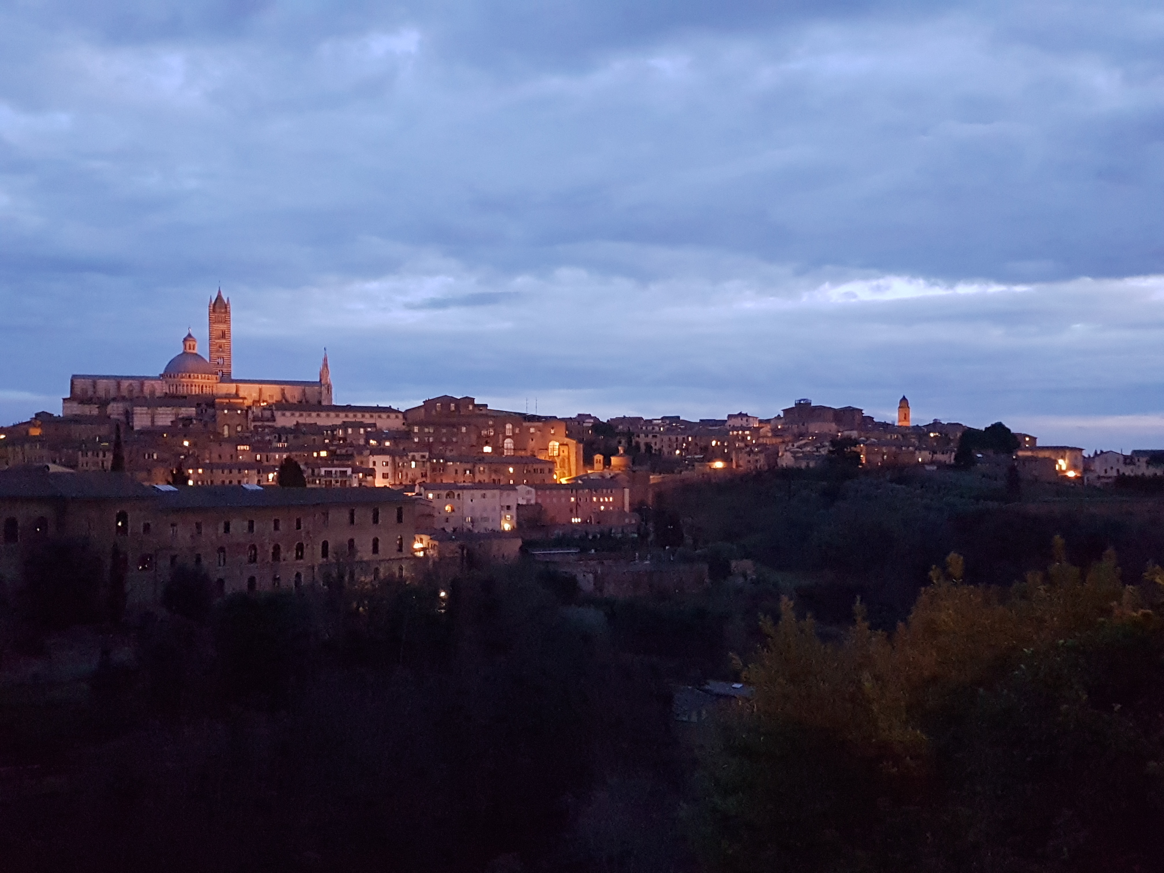
Related Images:




 by
