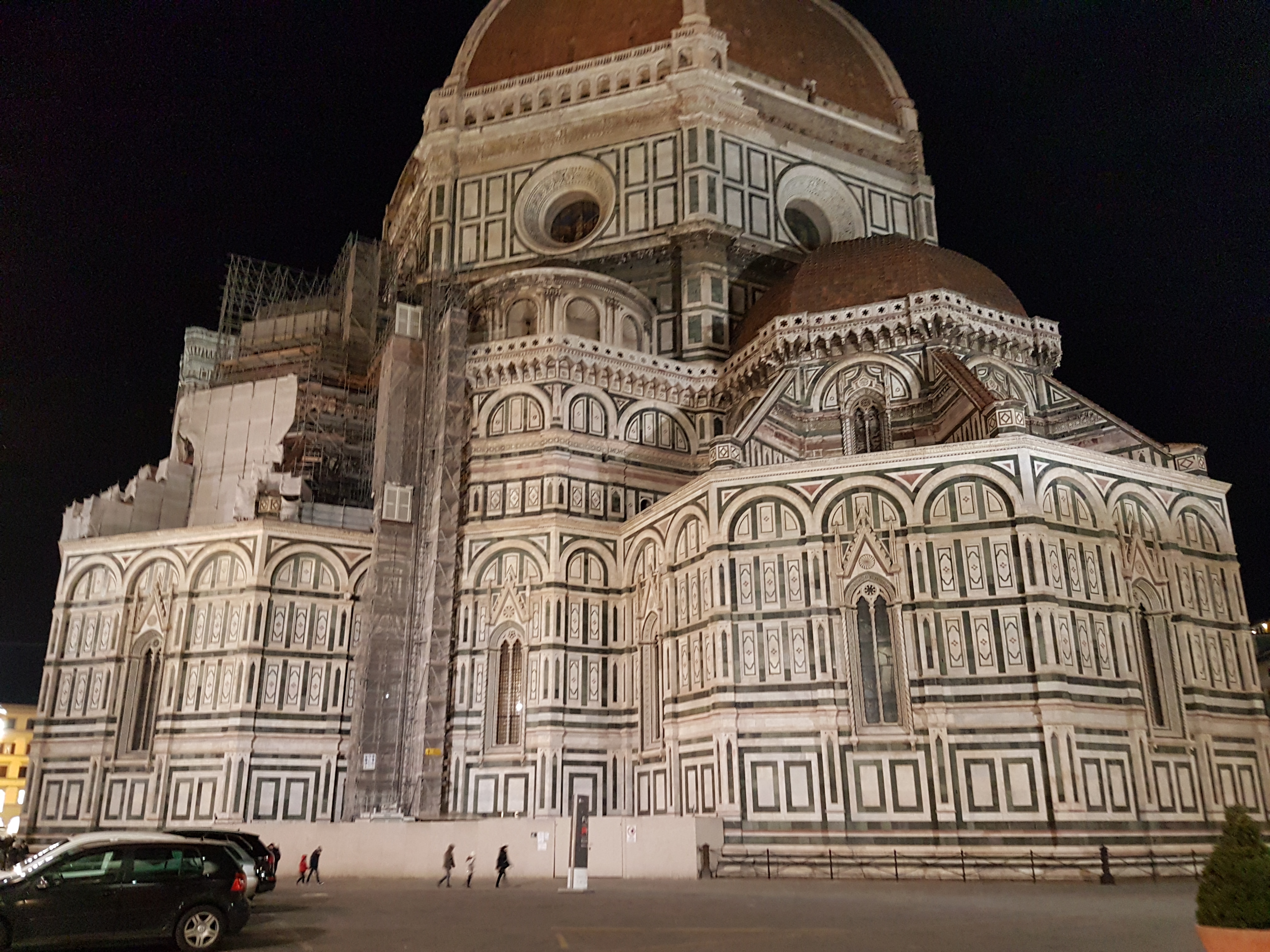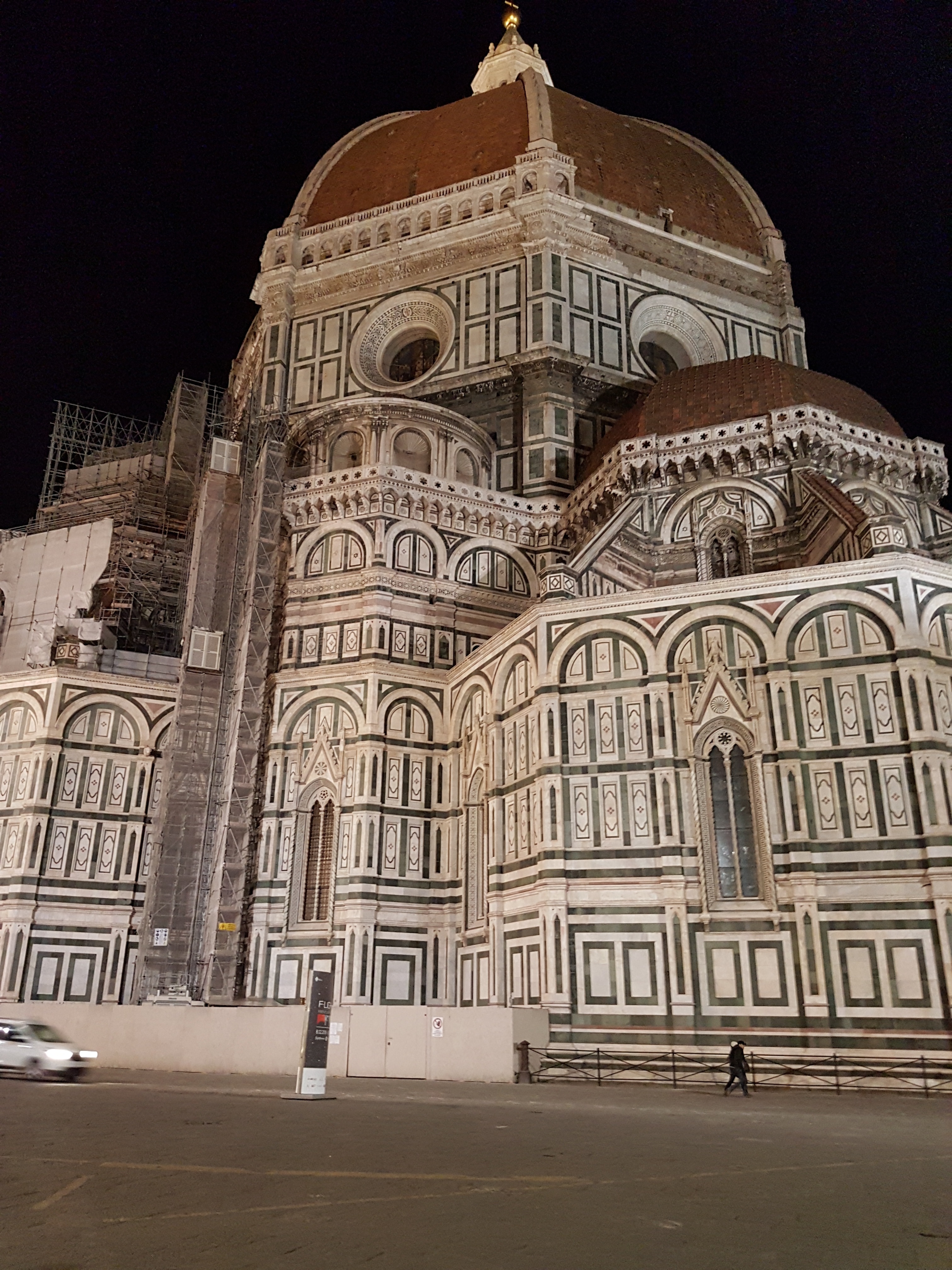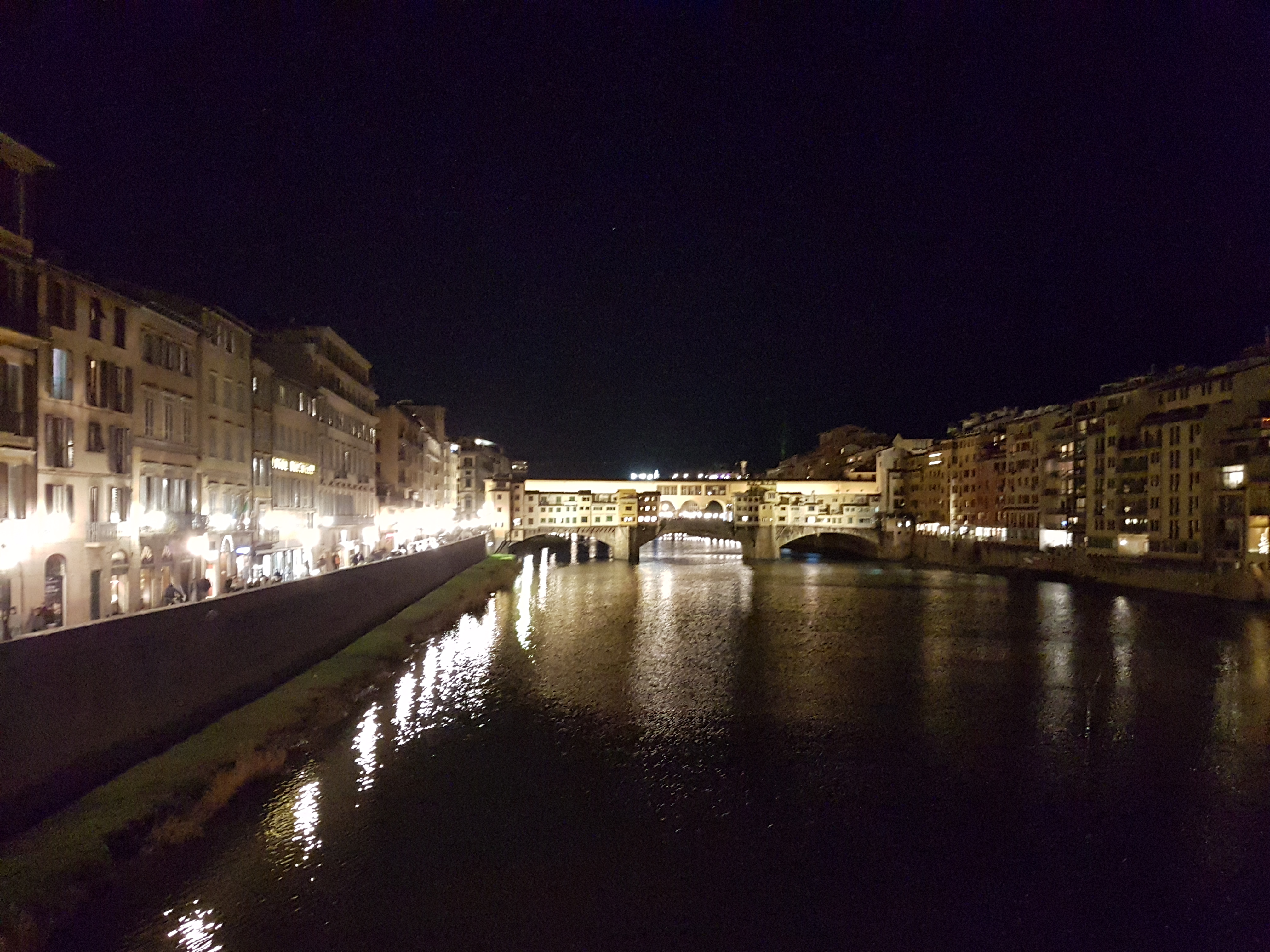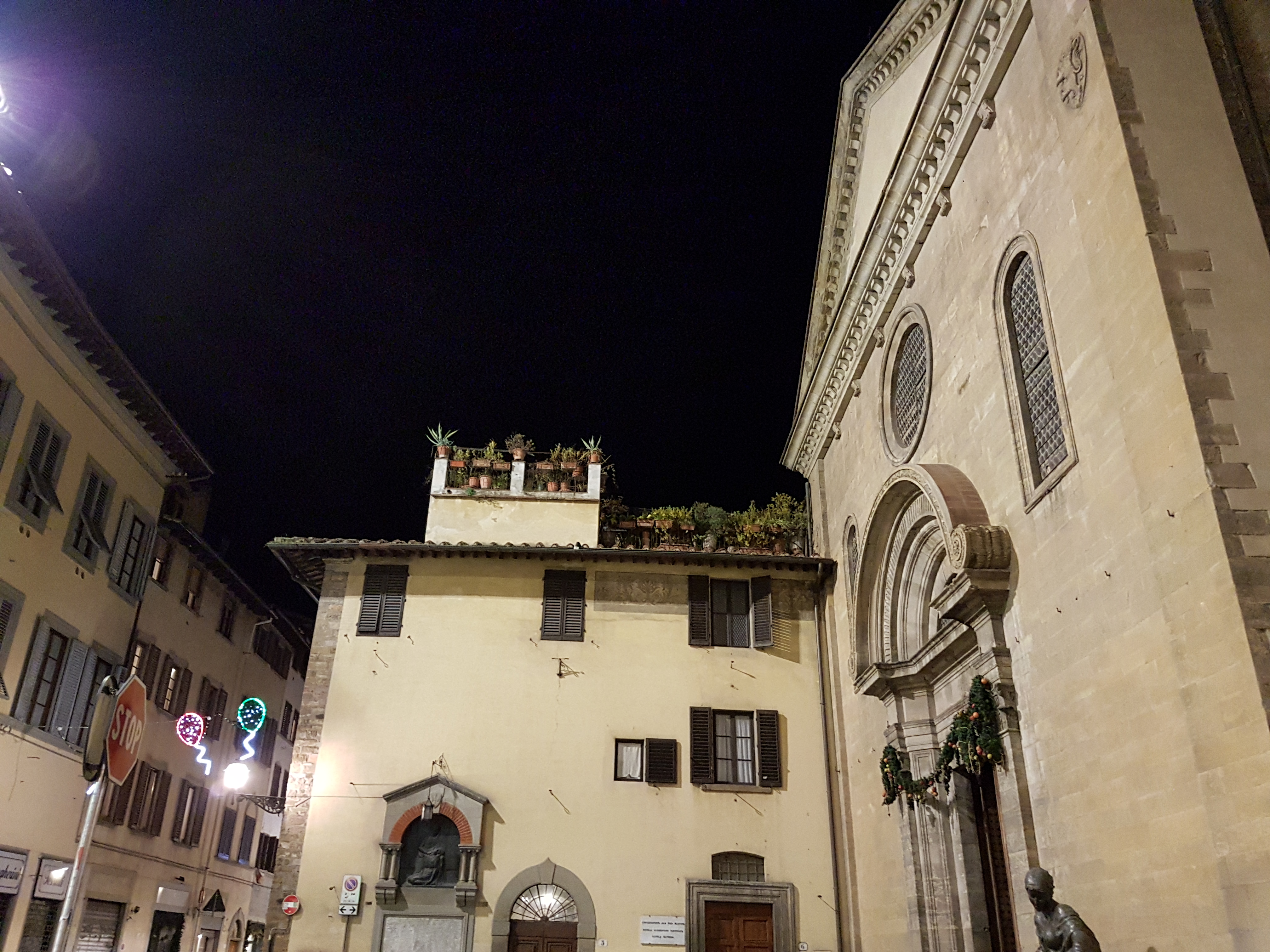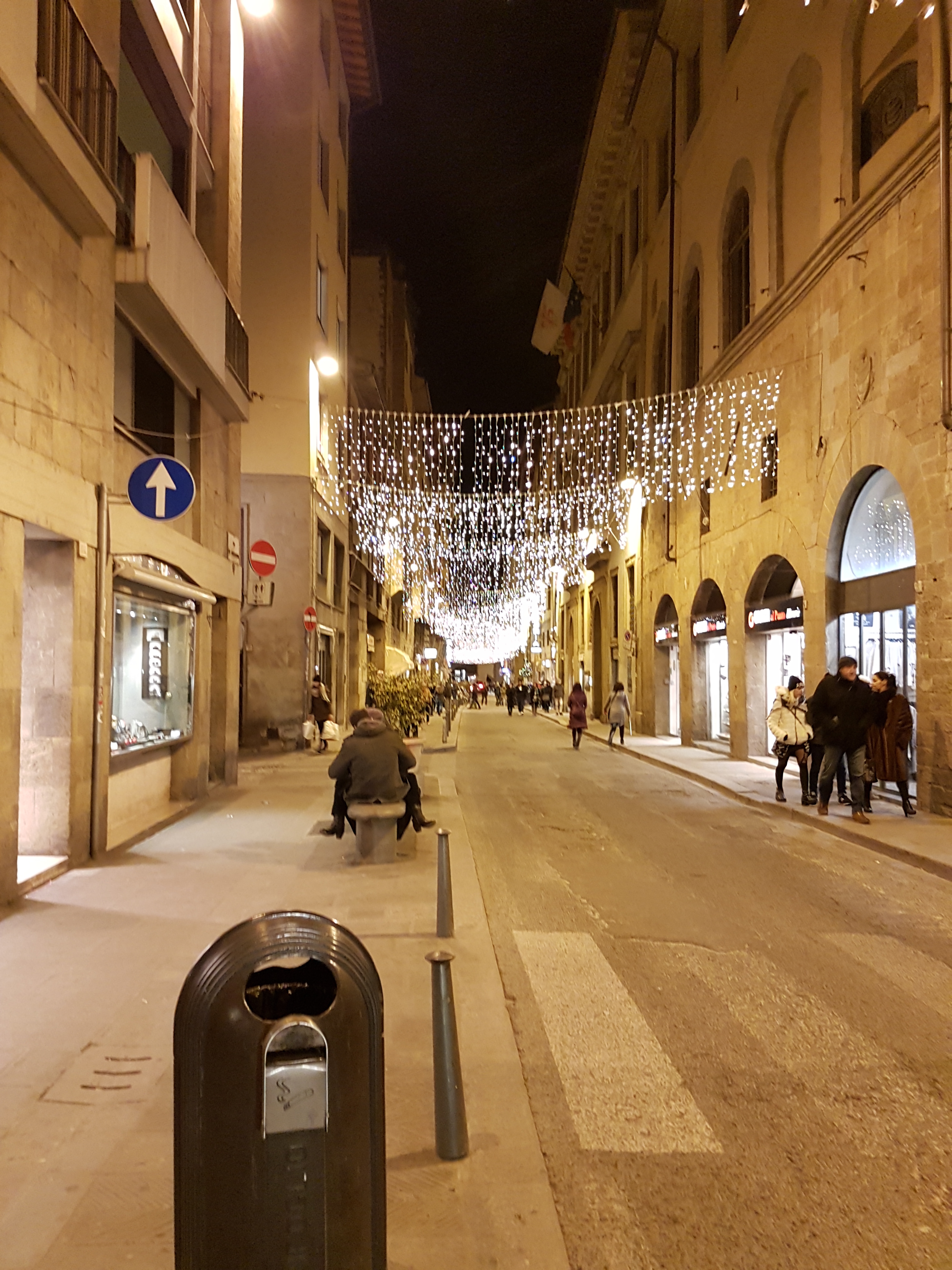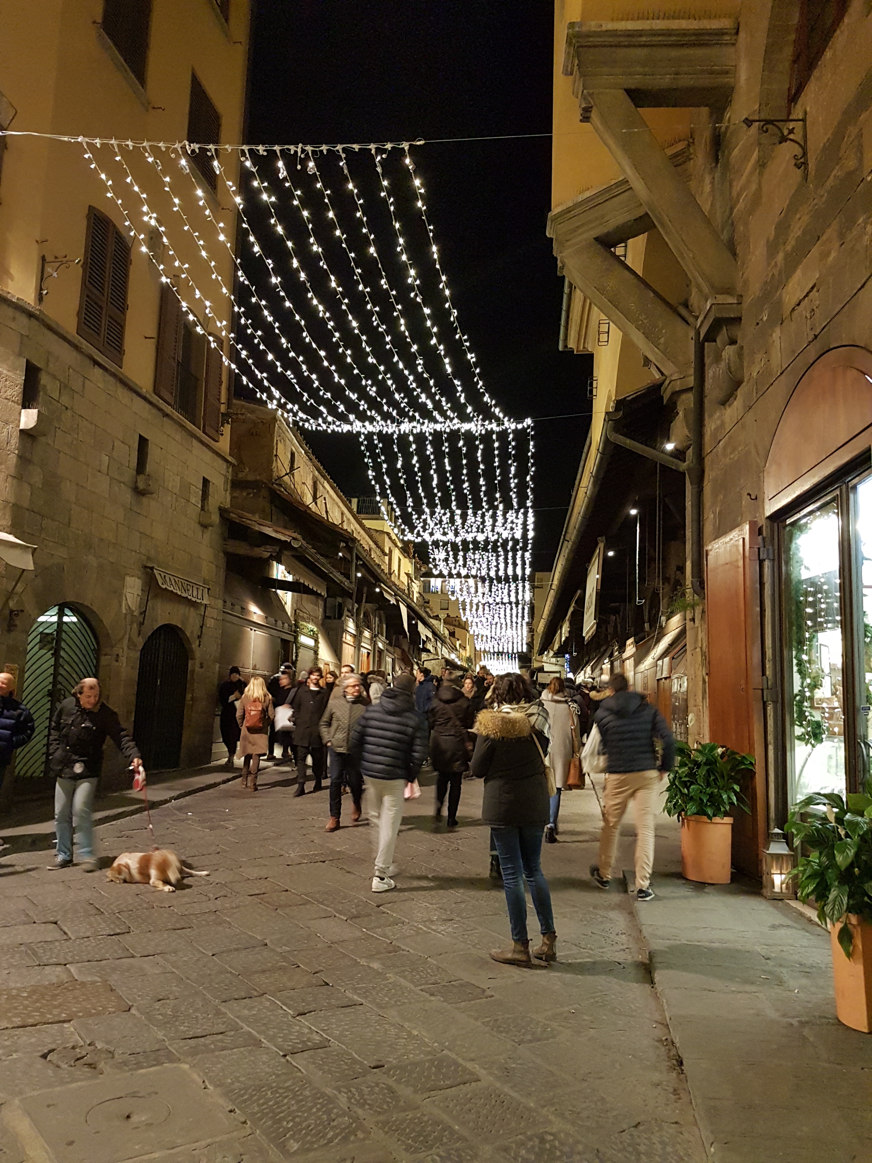
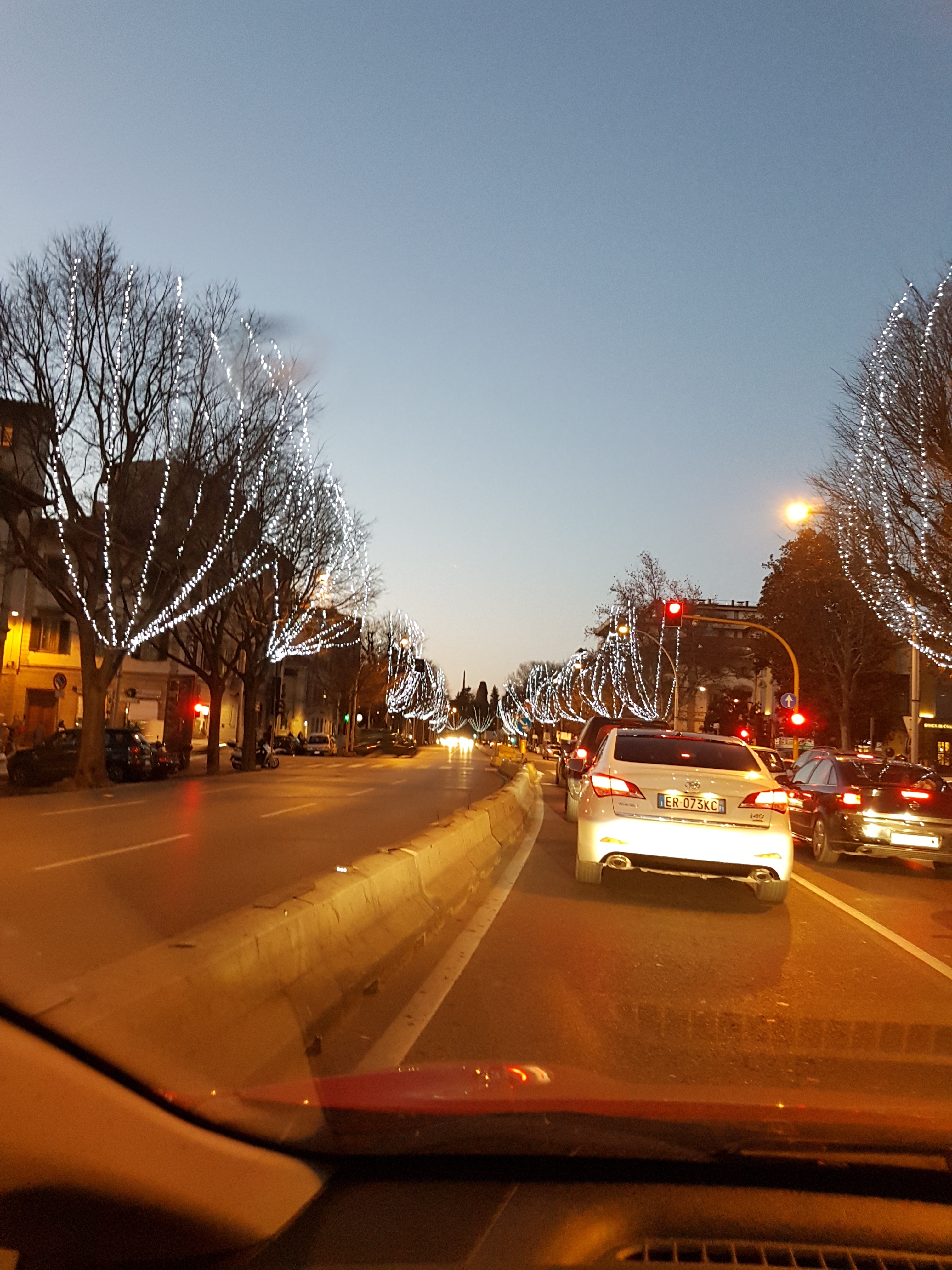
30.12.2016 Evening walk in Florence

Map of the route “30.12.2016 Evening walk in Florence”: 9.51 km, 125 m of climbing and 122 m of descent, elevation between 24 m and 64 m, time 01:53:45. It starts at 43.78120, 11.25216 and ends at 43.77082, 11.26741 (latitude, longitude).

Total distance: 9.51 km
Total climbing: 125 m
Total descent: 122 m
Average speed: 13.11 km/h
Download file: 2016-12-30%201750__20161230_1750.gpx

Related Images:

Facebooktwitterredditpinterestlinkedinmailby feather

What to visit

Toscana is full of sites worth visiting. Here are some of my favorite spots:

Related Images:

Facebooktwitterredditpinterestlinkedinmailby feather

To Florence with car

Well, not everyone likes bends and twisty roads.

For quieckest and easiest way from the house to various cities here is recomended way. 

Map of the route “To Florence with car”: 113.08 km. It starts at 43.65135, 11.95699 and ends at 43.76876, 11.25330 (latitude, longitude).

Total distance: 113.28 km
Total climbing: 0 m
Total descent: 0 m
Average speed: 0.00 km/h
Download file: 20181015115936-24193-data.gpx


Related Images:

Facebooktwitterredditpinterestlinkedinmailby feather

Chiusi della Verna round bike path

This route is really near the house. It starts at Il Rifugio restaurant, climb to Chiusi della Verna and then to pass Del Spino. After that it is more ore less descent back to start.

Route is quite demanding as climbs and descent are steep.

Map of the route “Chiusi della Verna round bike path”: 31.35 km, 634 m of climbing and 640 m of descent, elevation between 481 m and 1,026 m, time 02:24:16. It is a loop that starts and ends at 43.64640, 11.97602 (latitude, longitude).

Total distance: 31.51 km
Total climbing: 634 m
Total descent: 640 m
Average speed: 23.19 km/h
Download file: 2017-05-01%201306__20170501_1306.gpx

Relive video

Related Images:

Facebooktwitterredditpinterestlinkedinmailby feather

Bycicle route around Lago di Montedoglio

Nice bycicle route around lake Montedoglio

Starting near the dam, route goes around the lake through countryside, passing towns Sansepolcro and Anghiari.

Route is not very demanding, but there are quite some up and down hills, so be prepared.

Map of the route “Bycicle route around Lago di Montedoglio”: 38.59 km, 266 m of climbing and 298 m of descent, elevation between 314 m and 473 m, time 02:08:13. It is a loop that starts and ends at 43.58752, 12.03930 (latitude, longitude).

Total distance: 38.72 km
Total climbing: 266 m
Total descent: 298 m
Average speed: 23.02 km/h
Download file: 2017-04-30%201107__20170430_1107.gpx

Relive video

Related Images:

Facebooktwitterredditpinterestlinkedinmailby feather