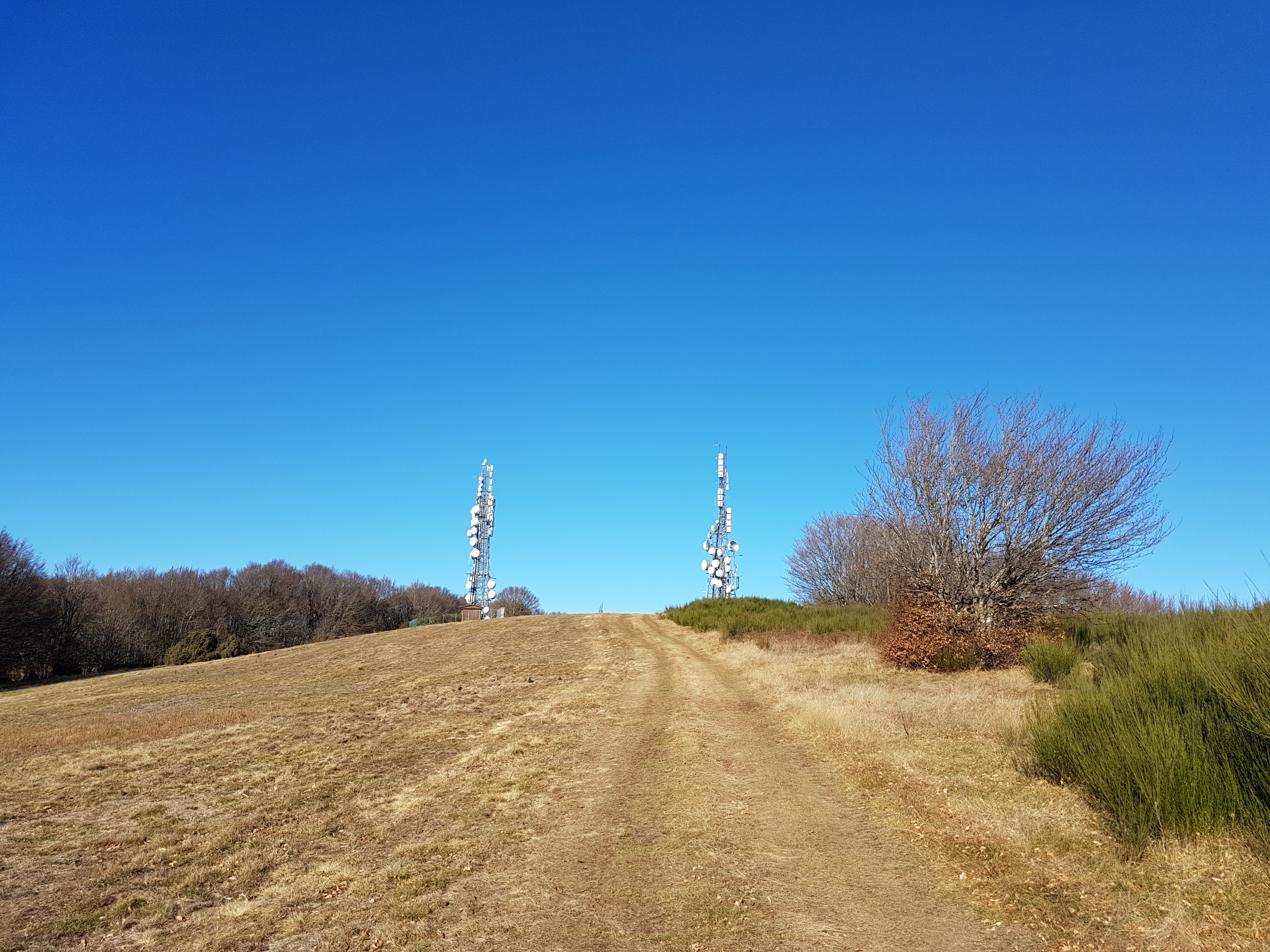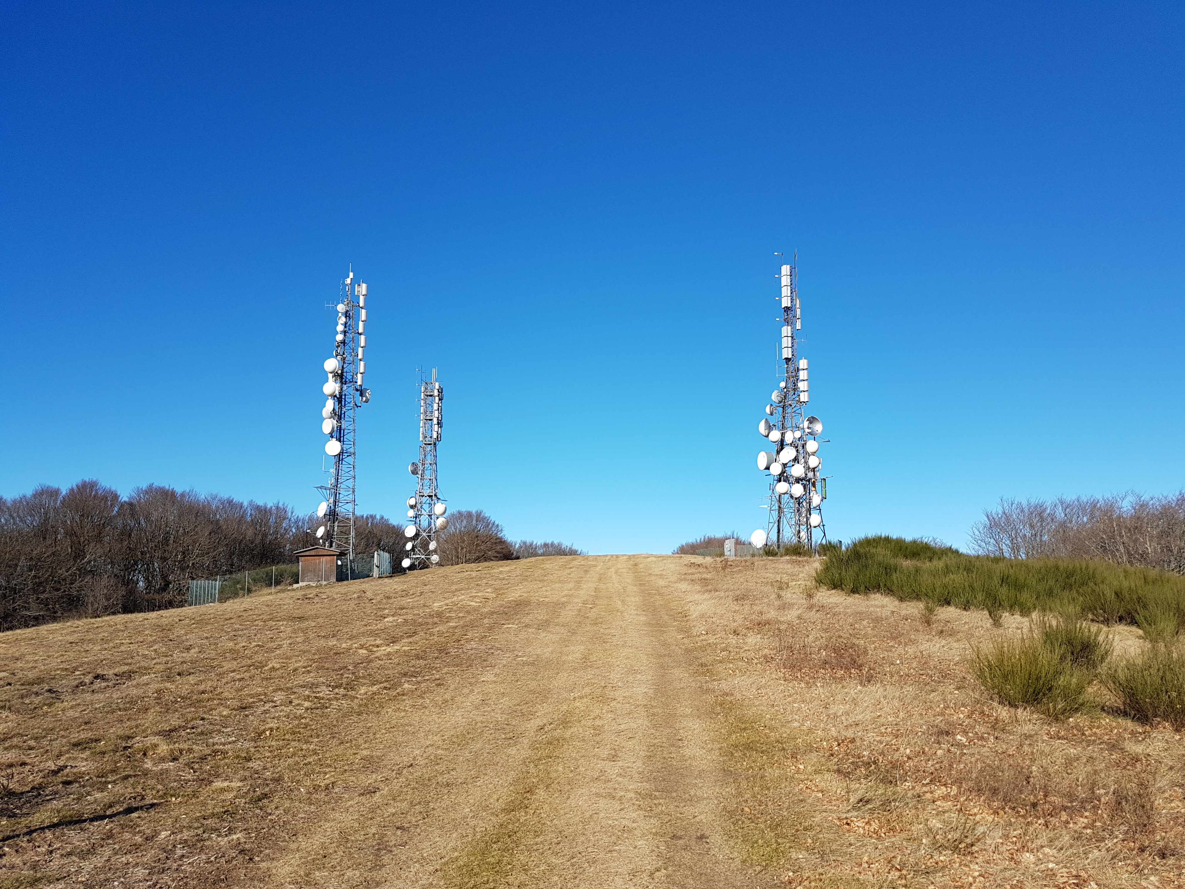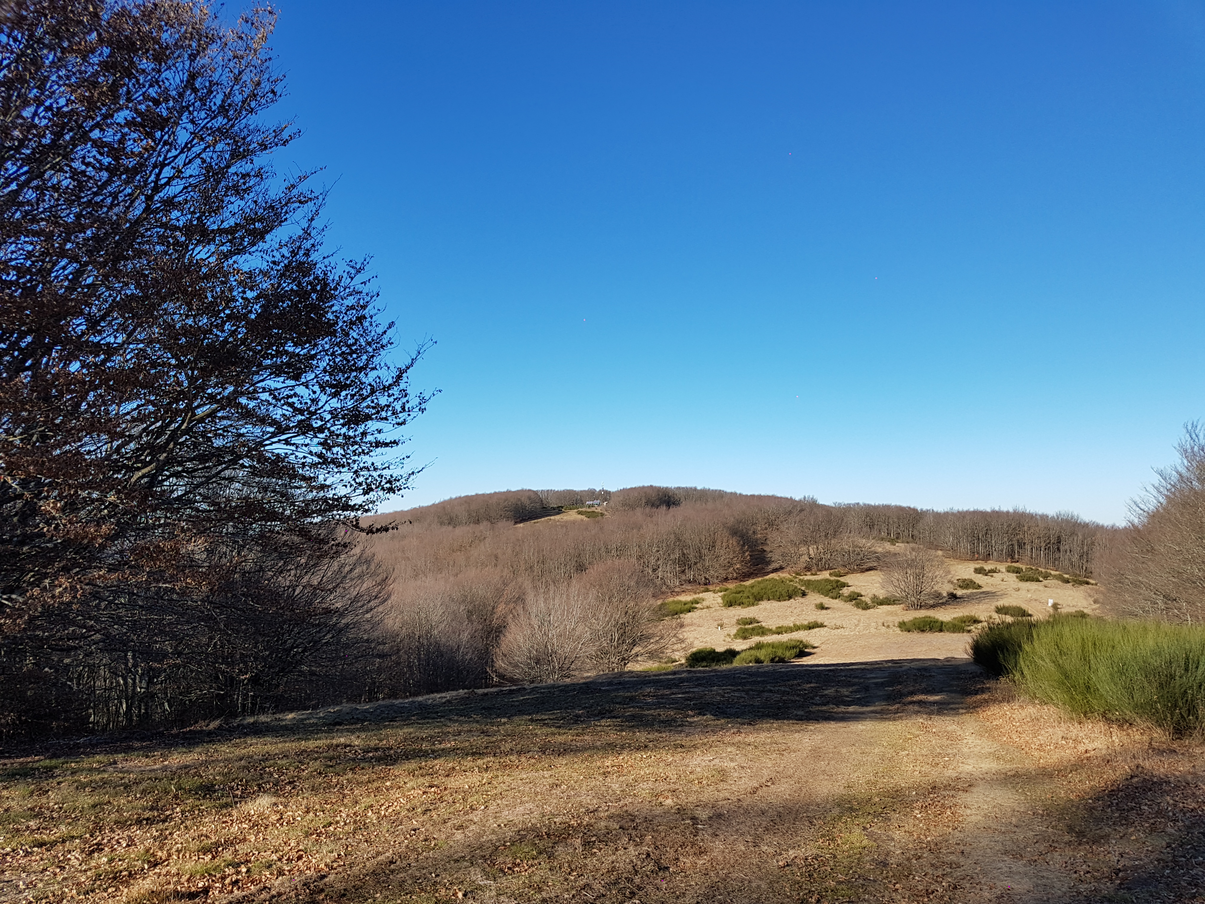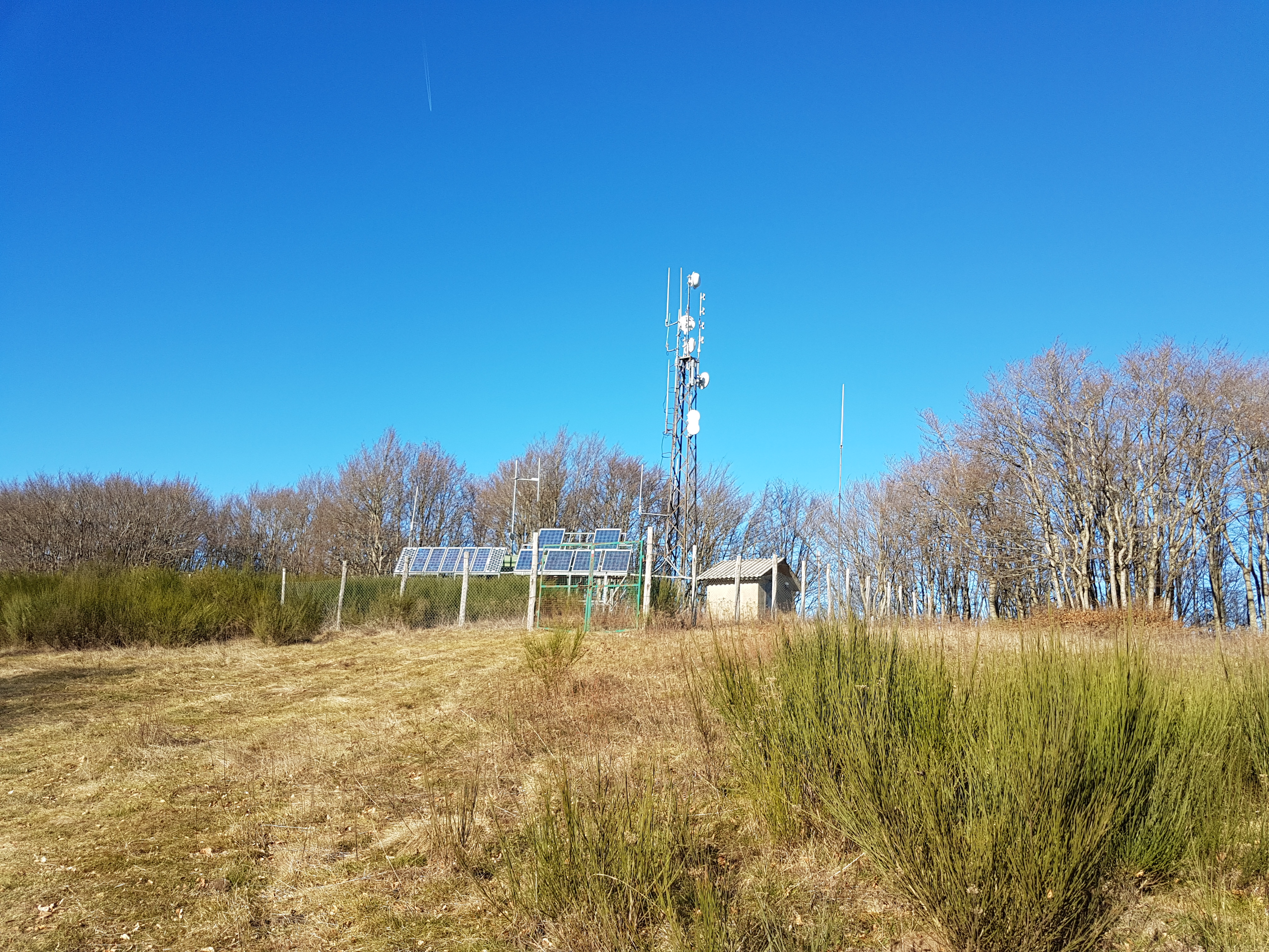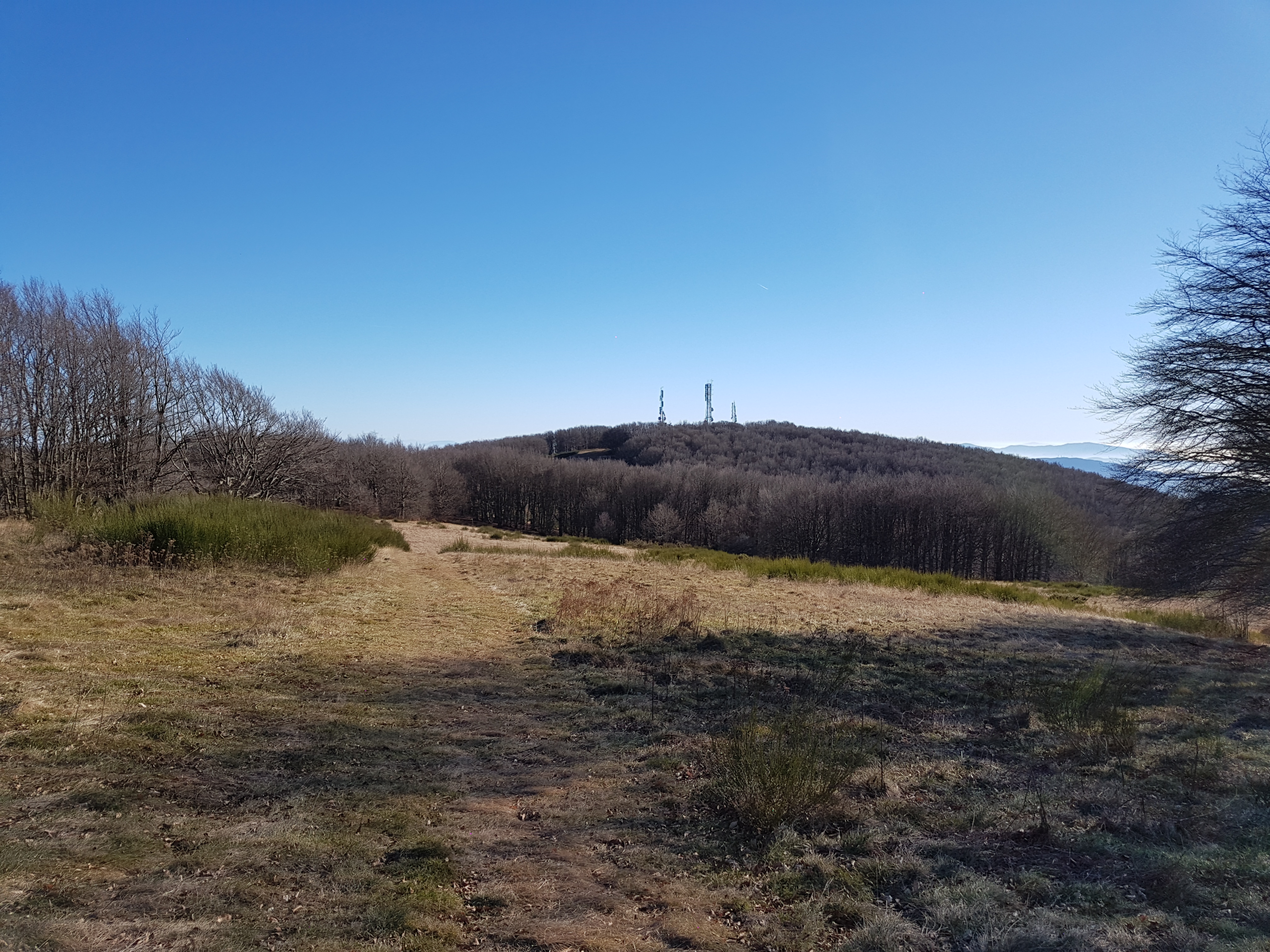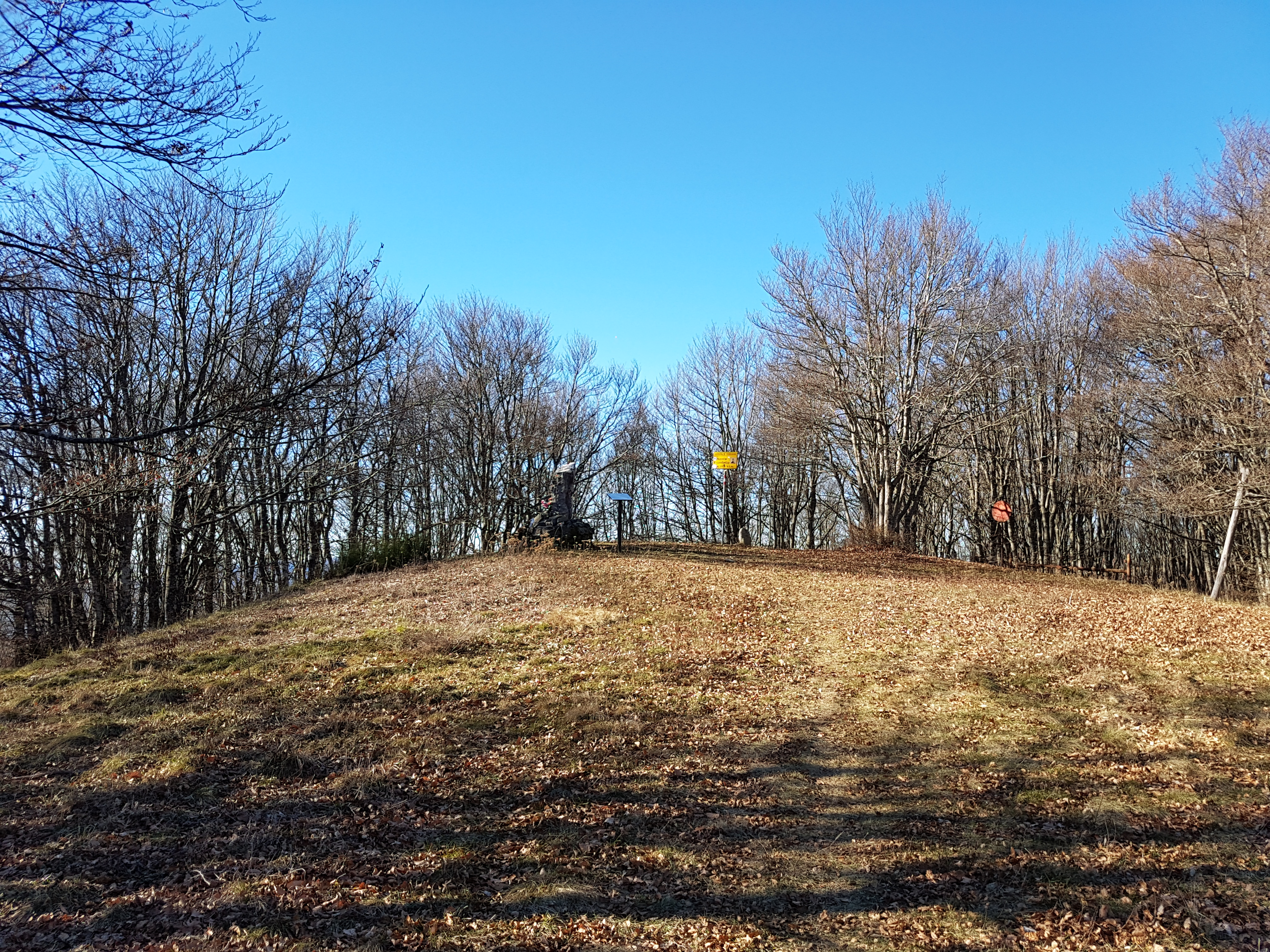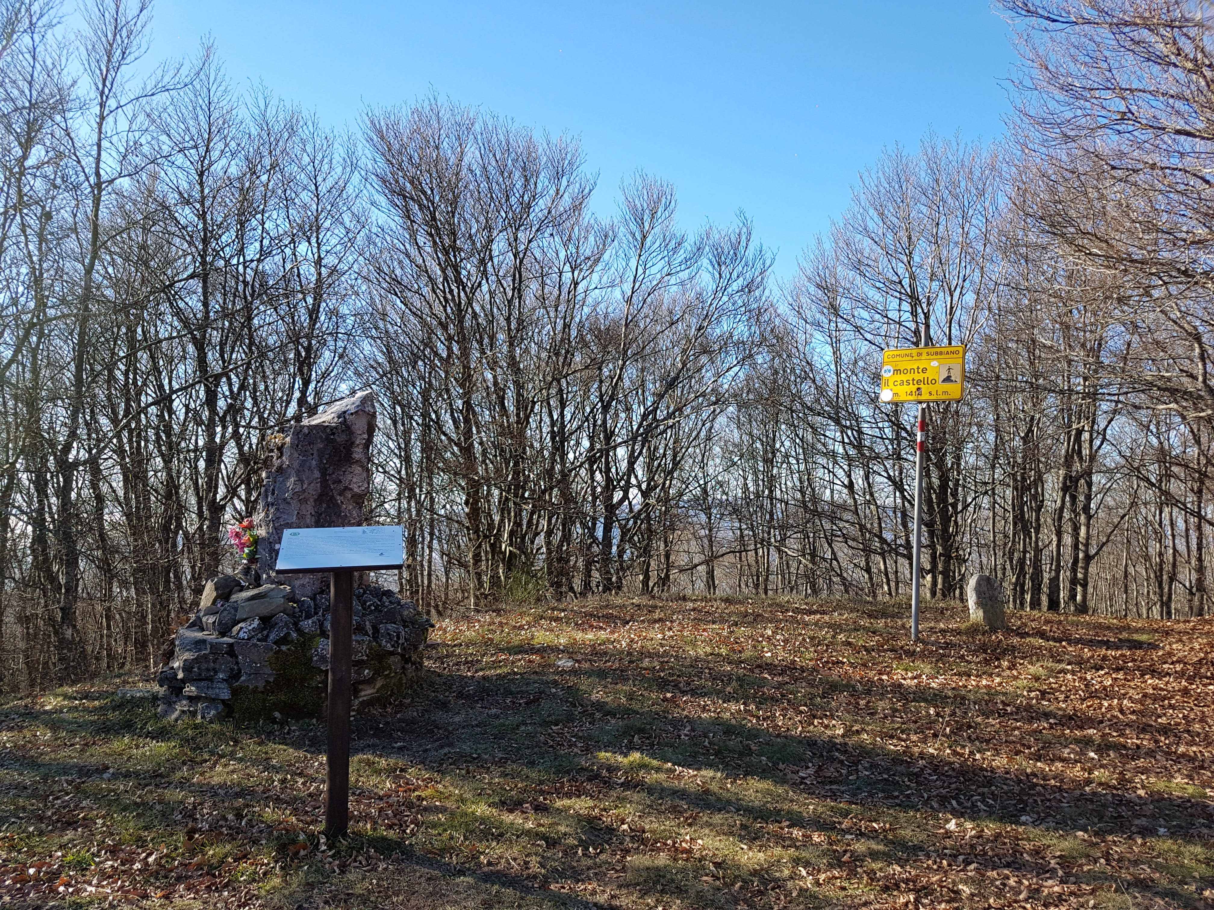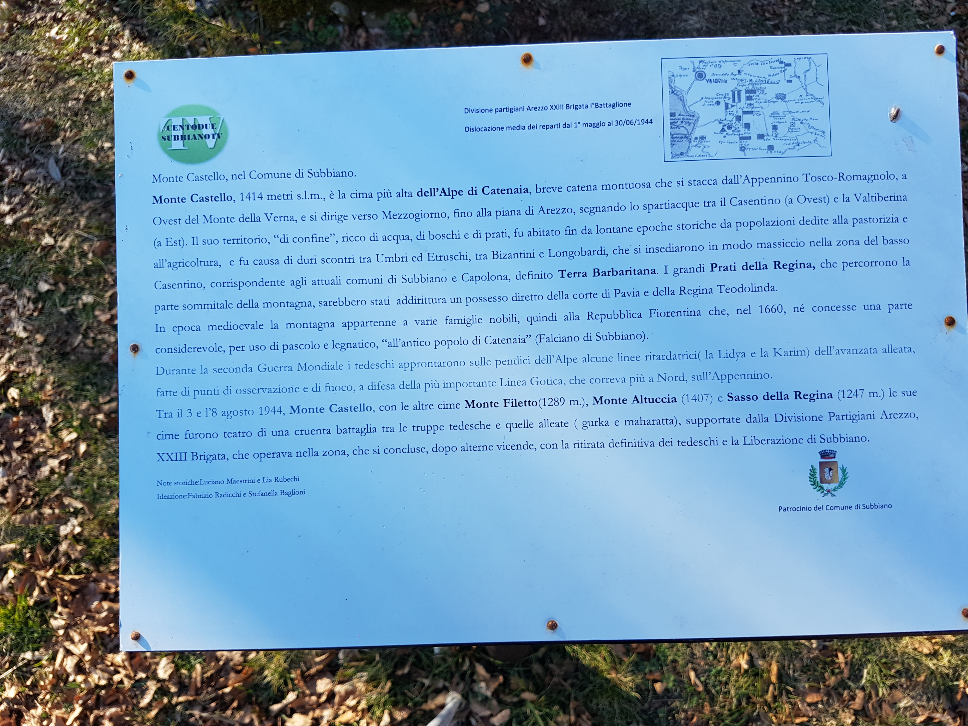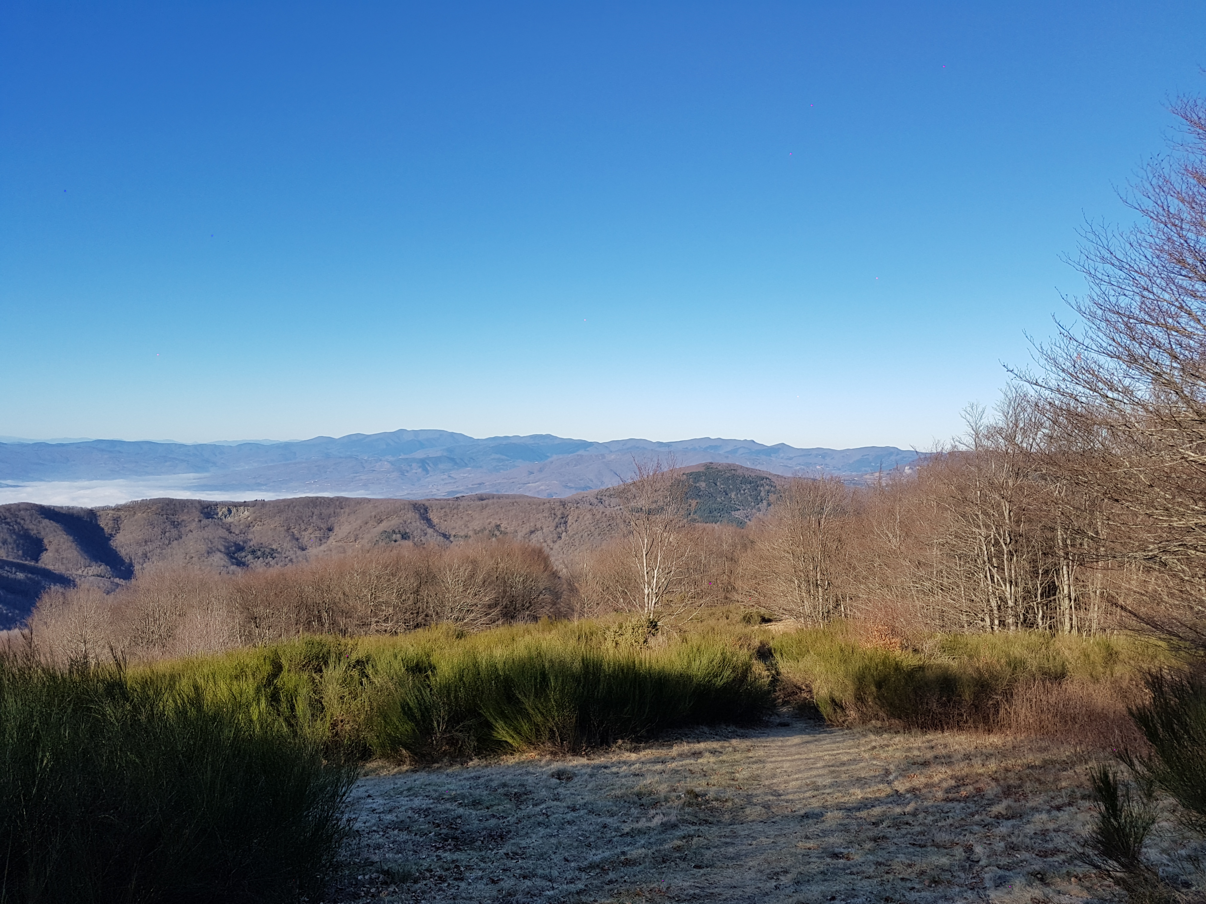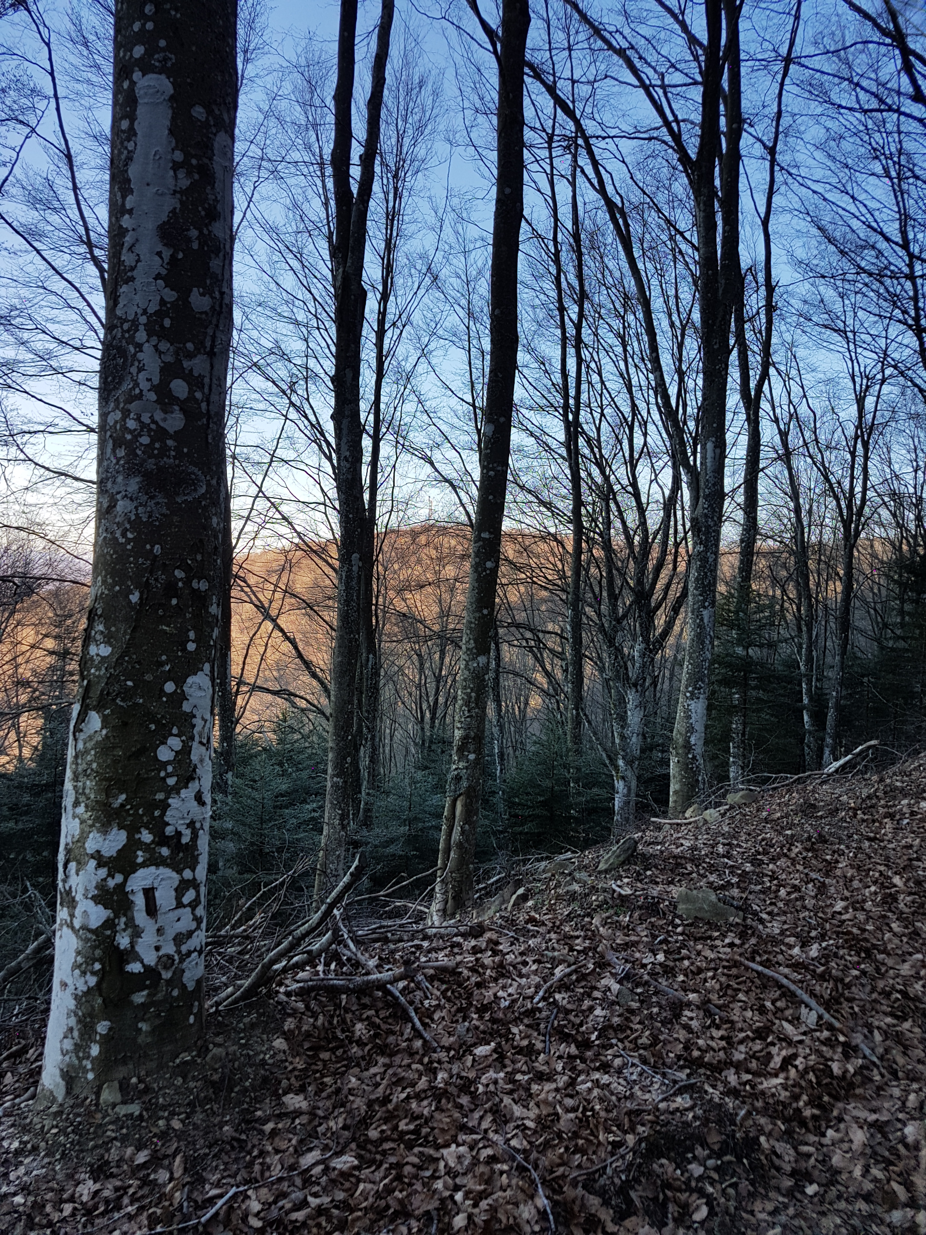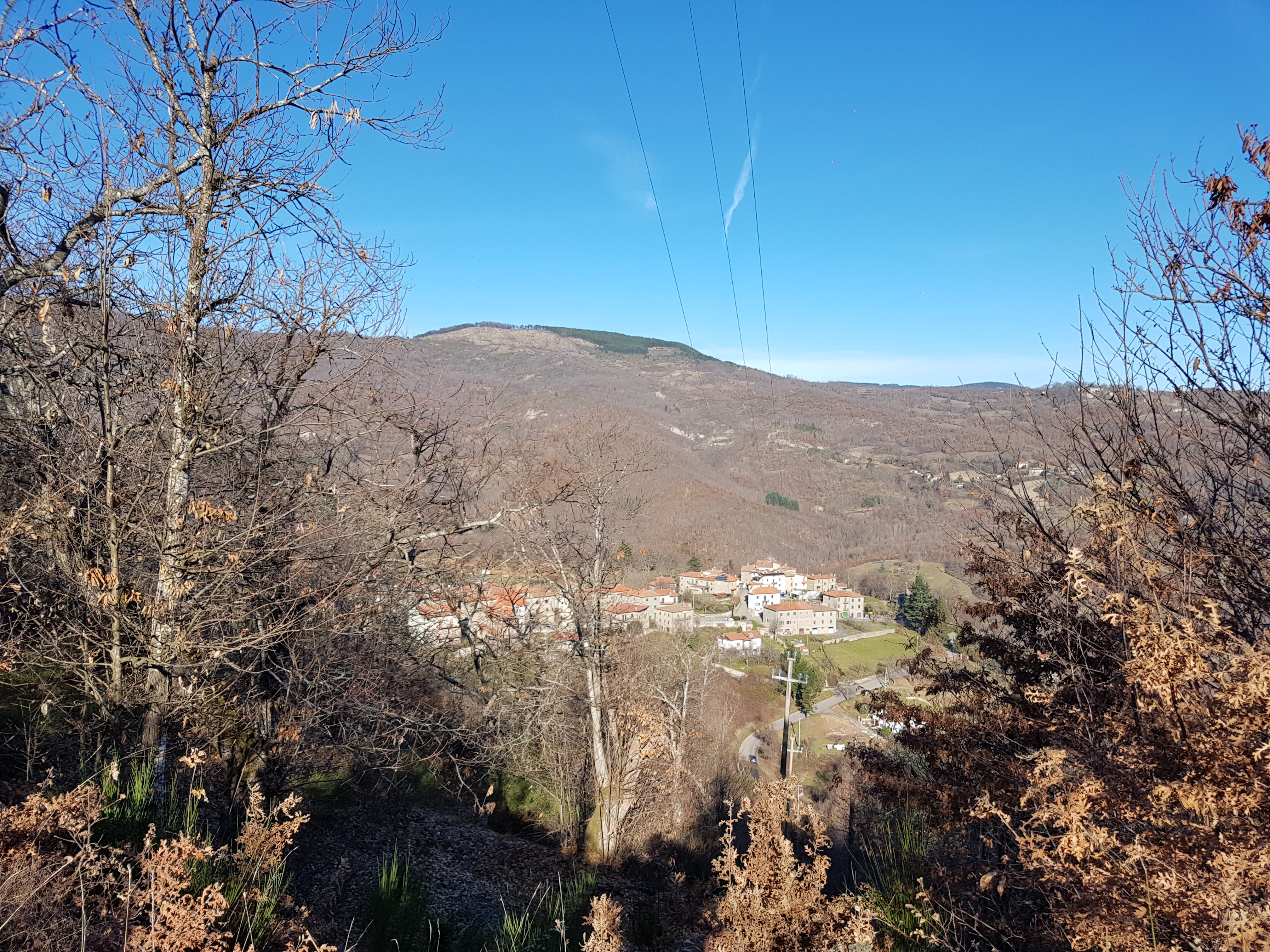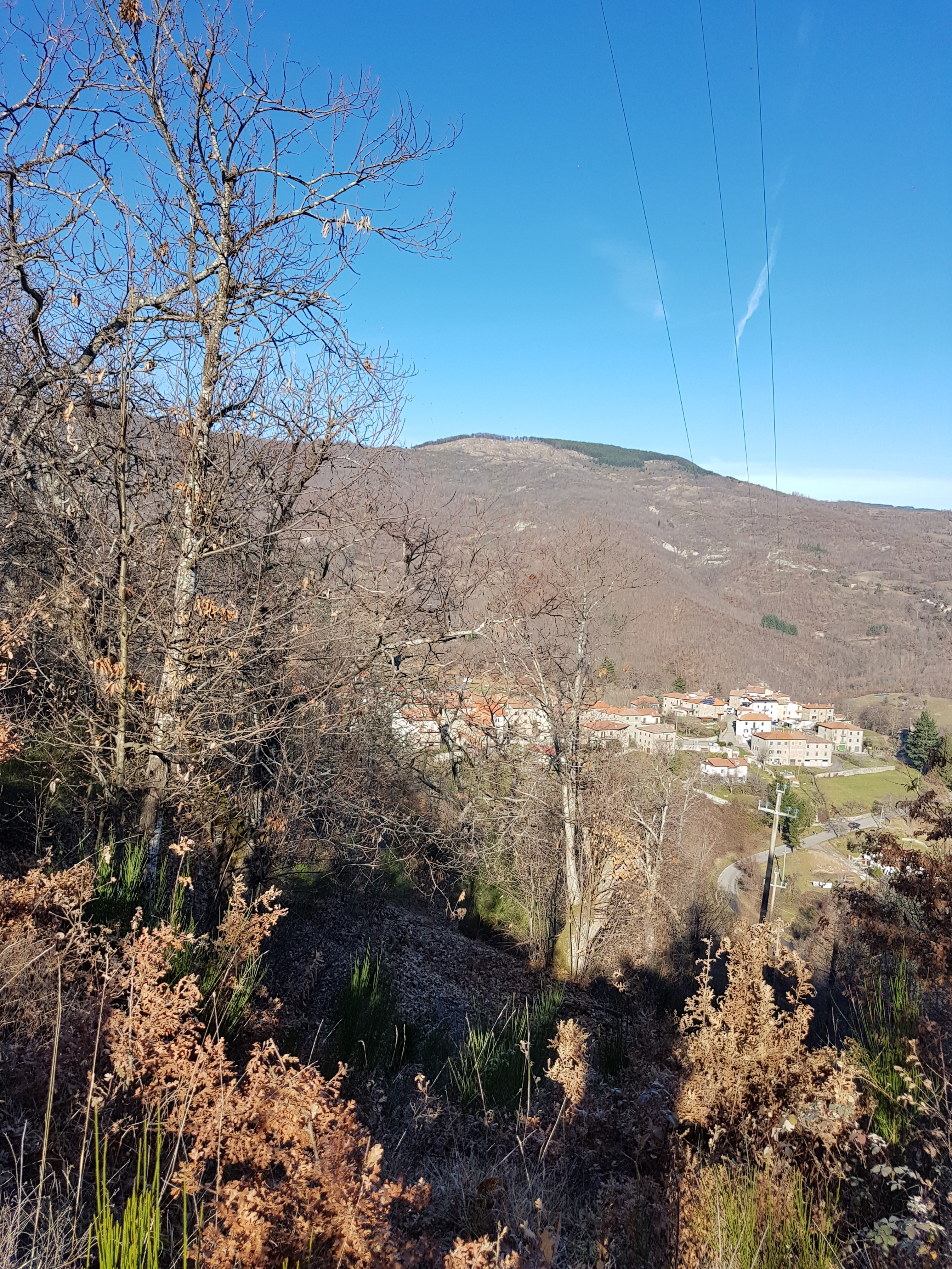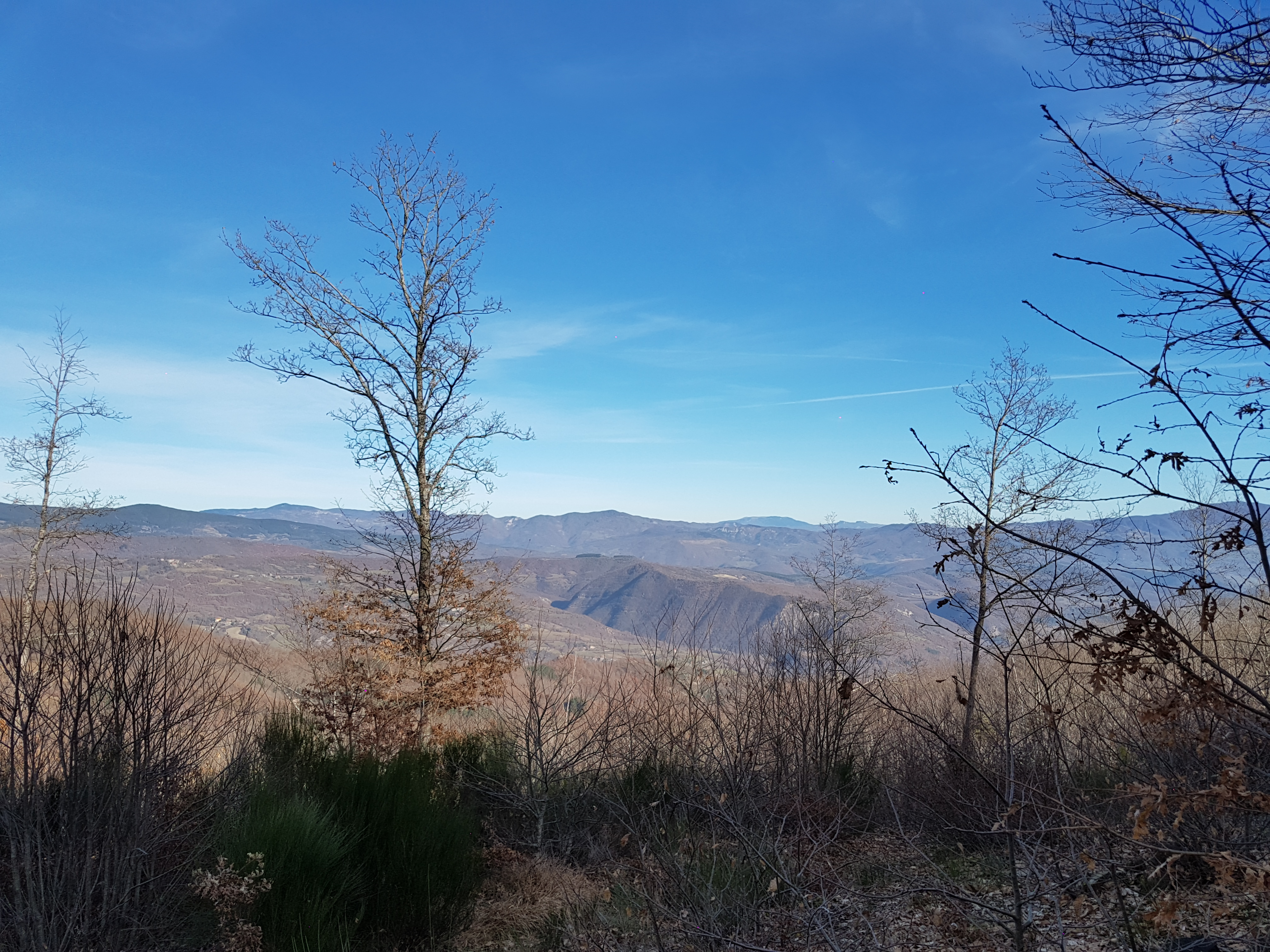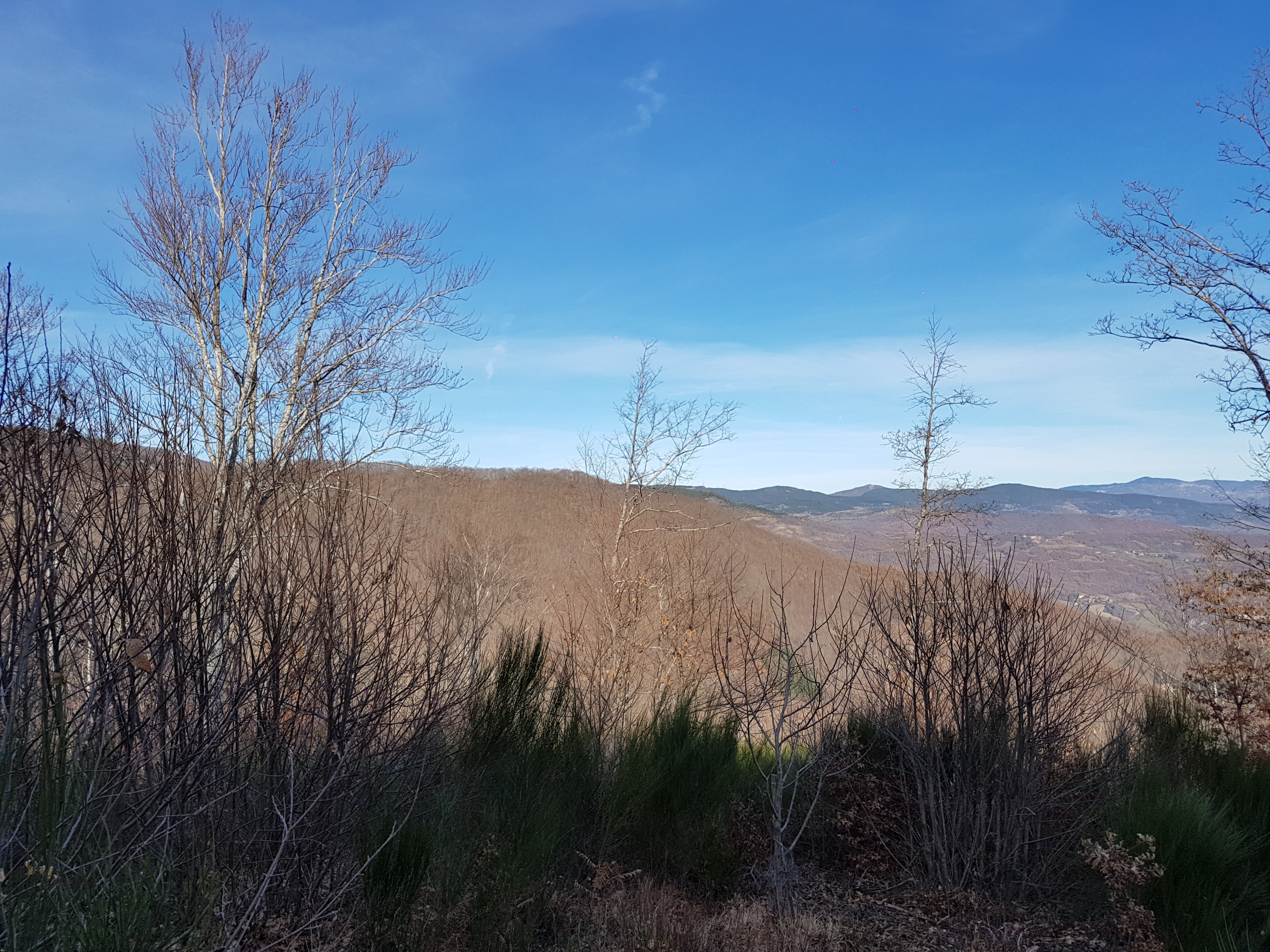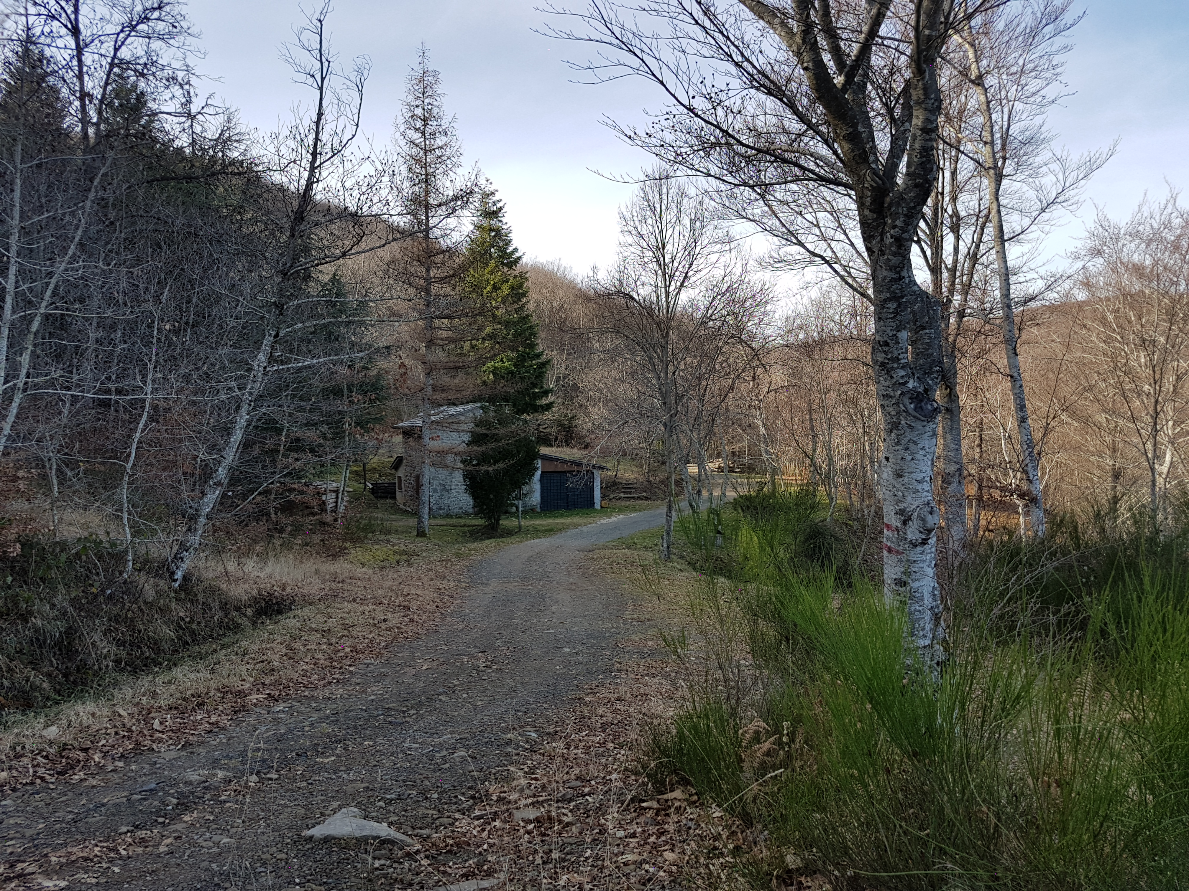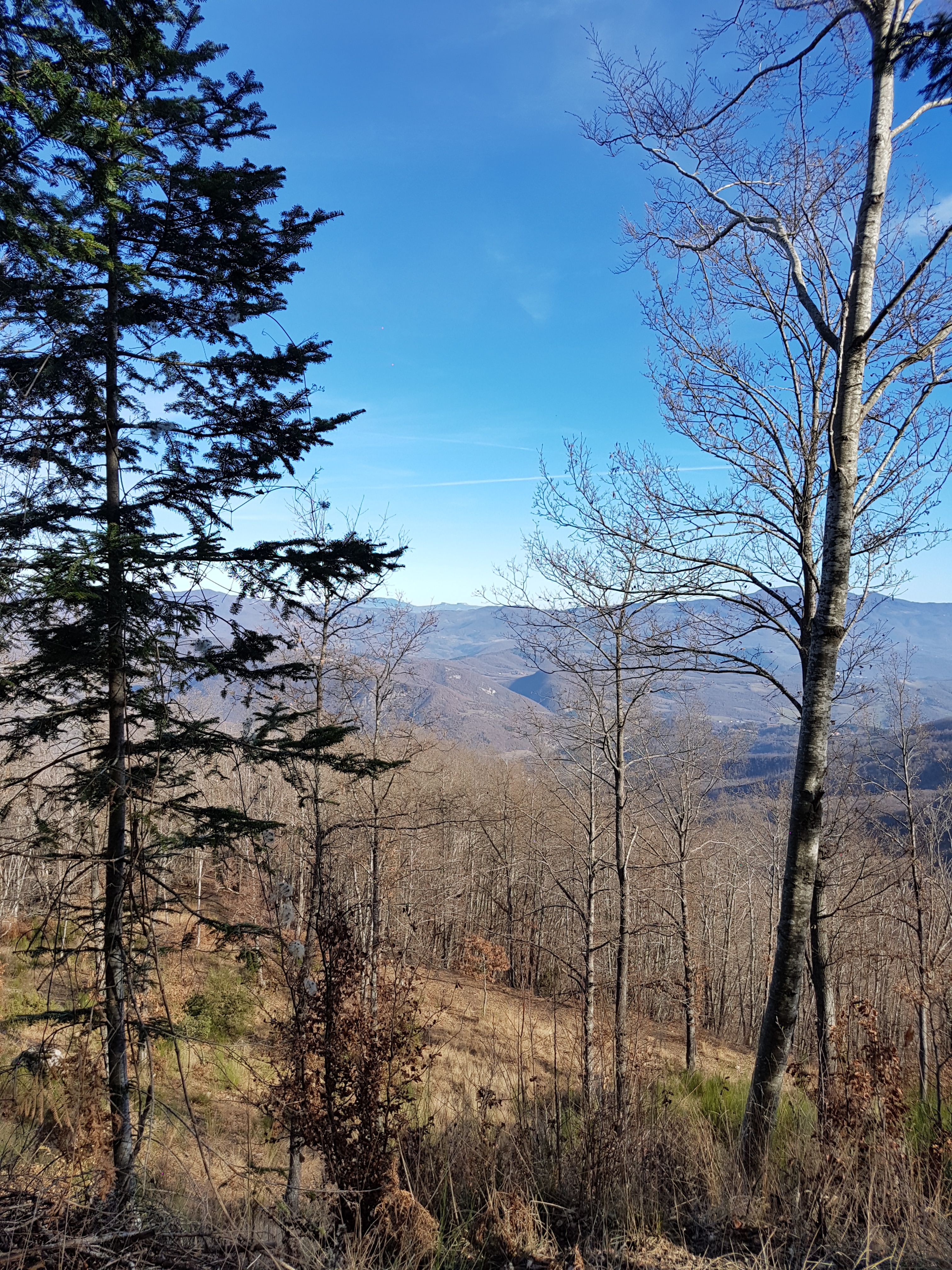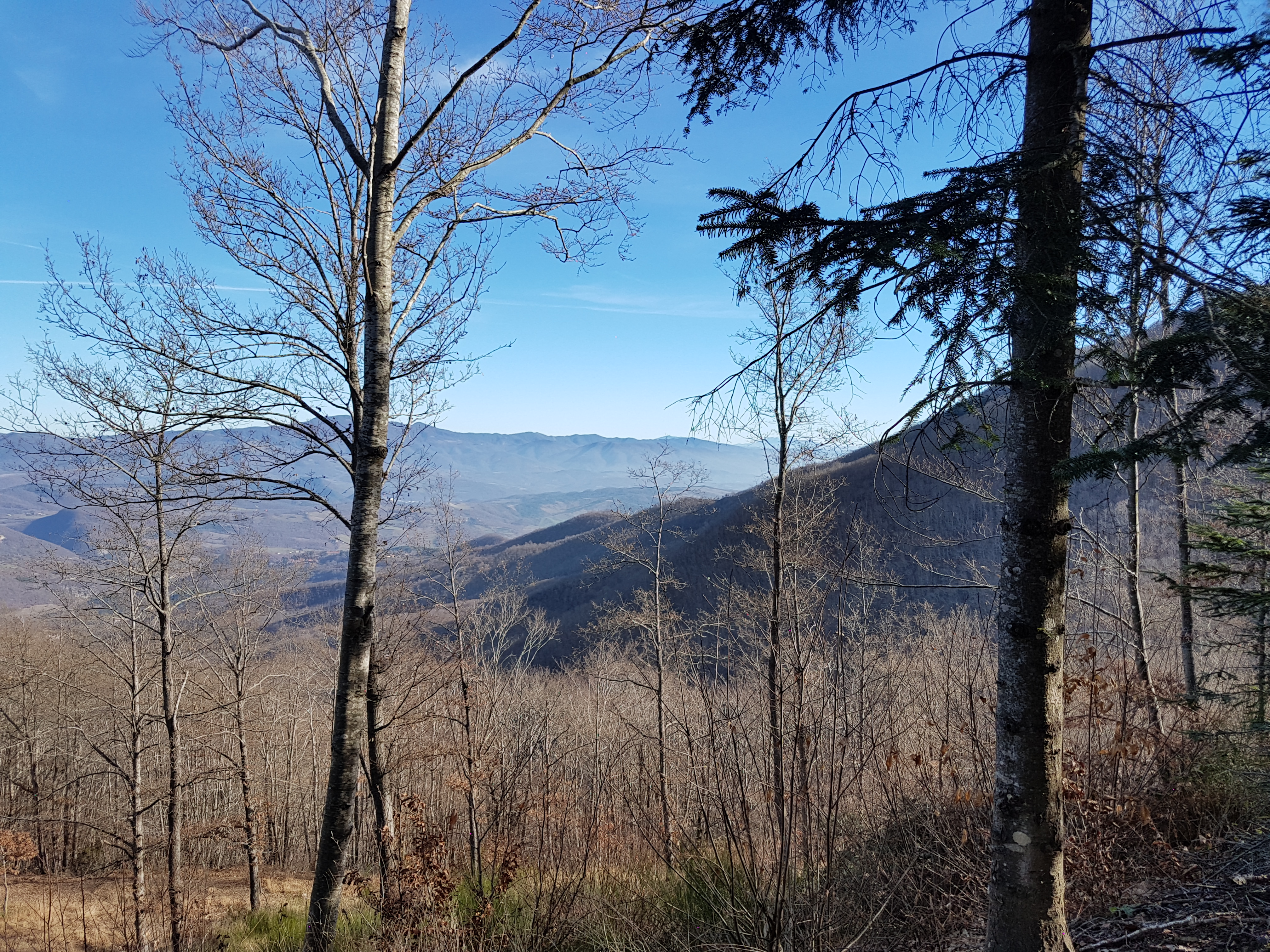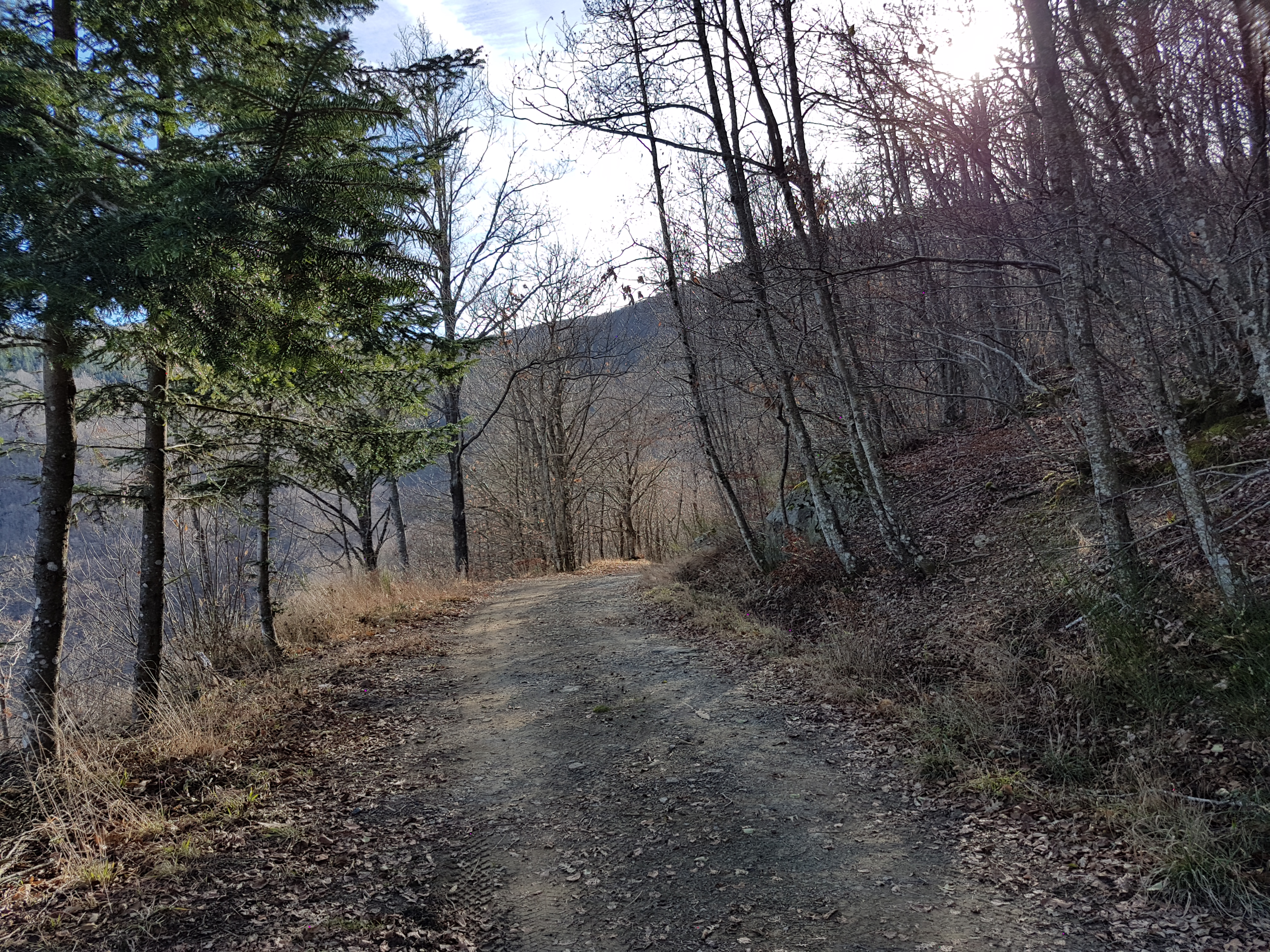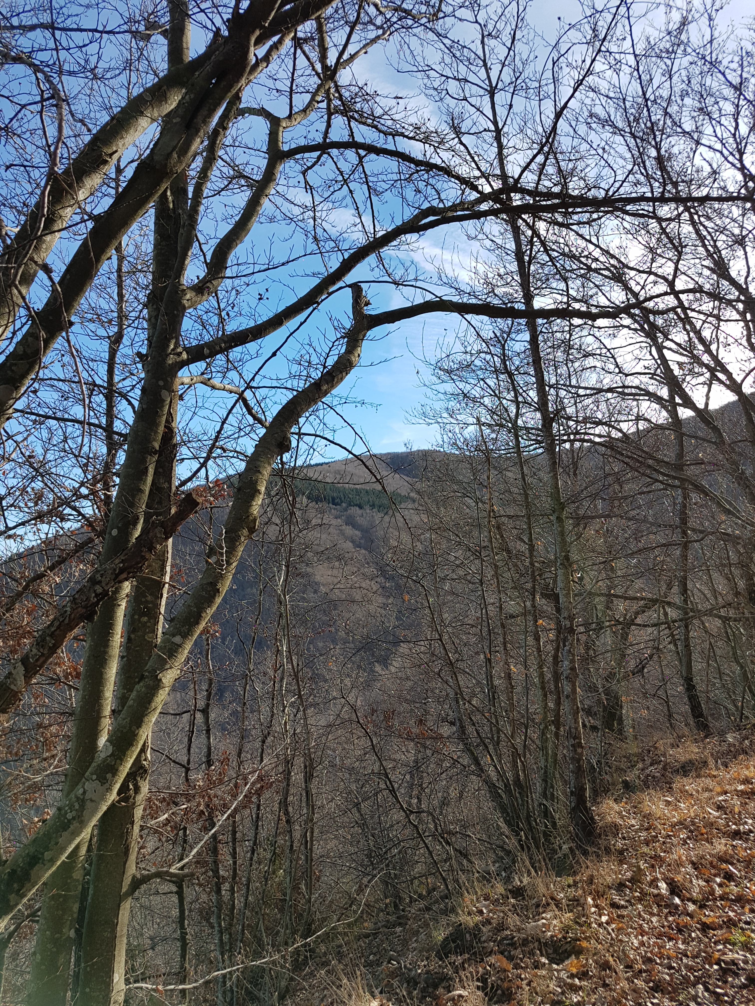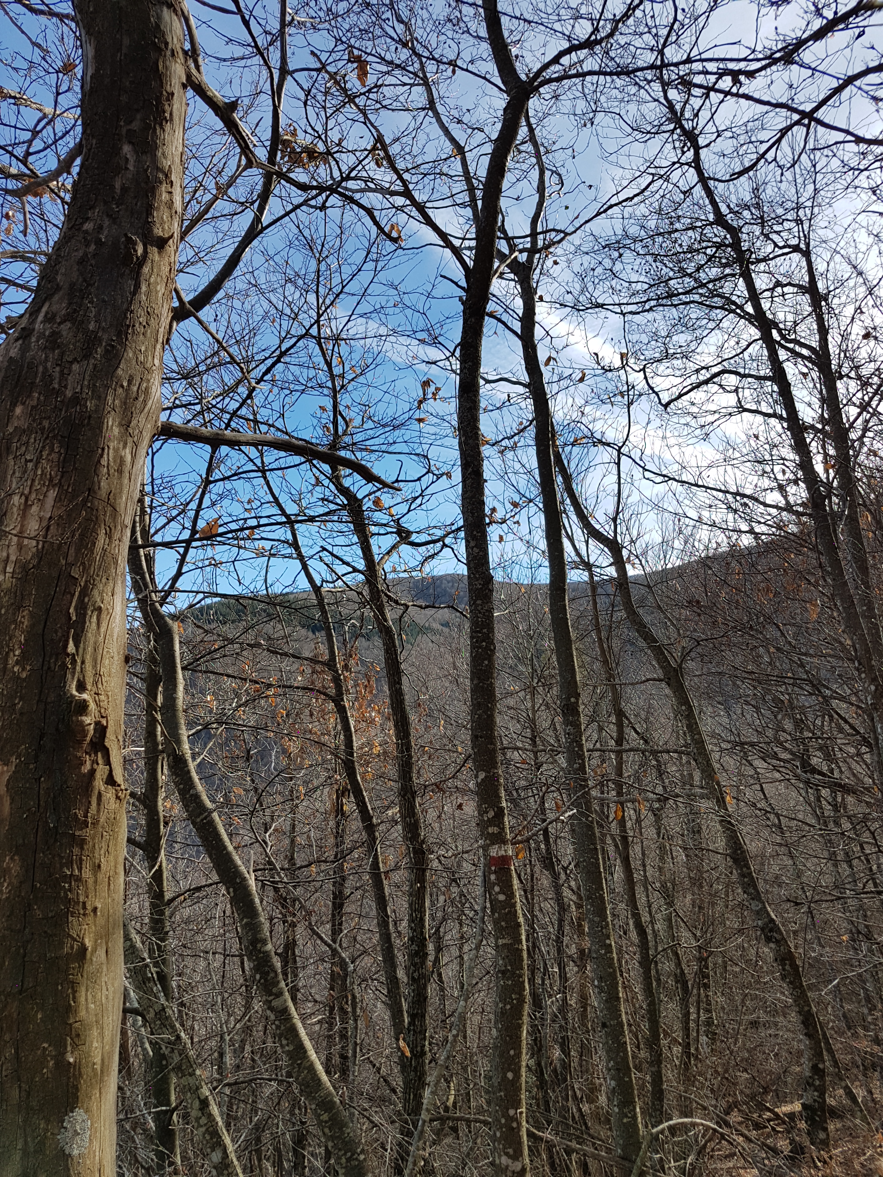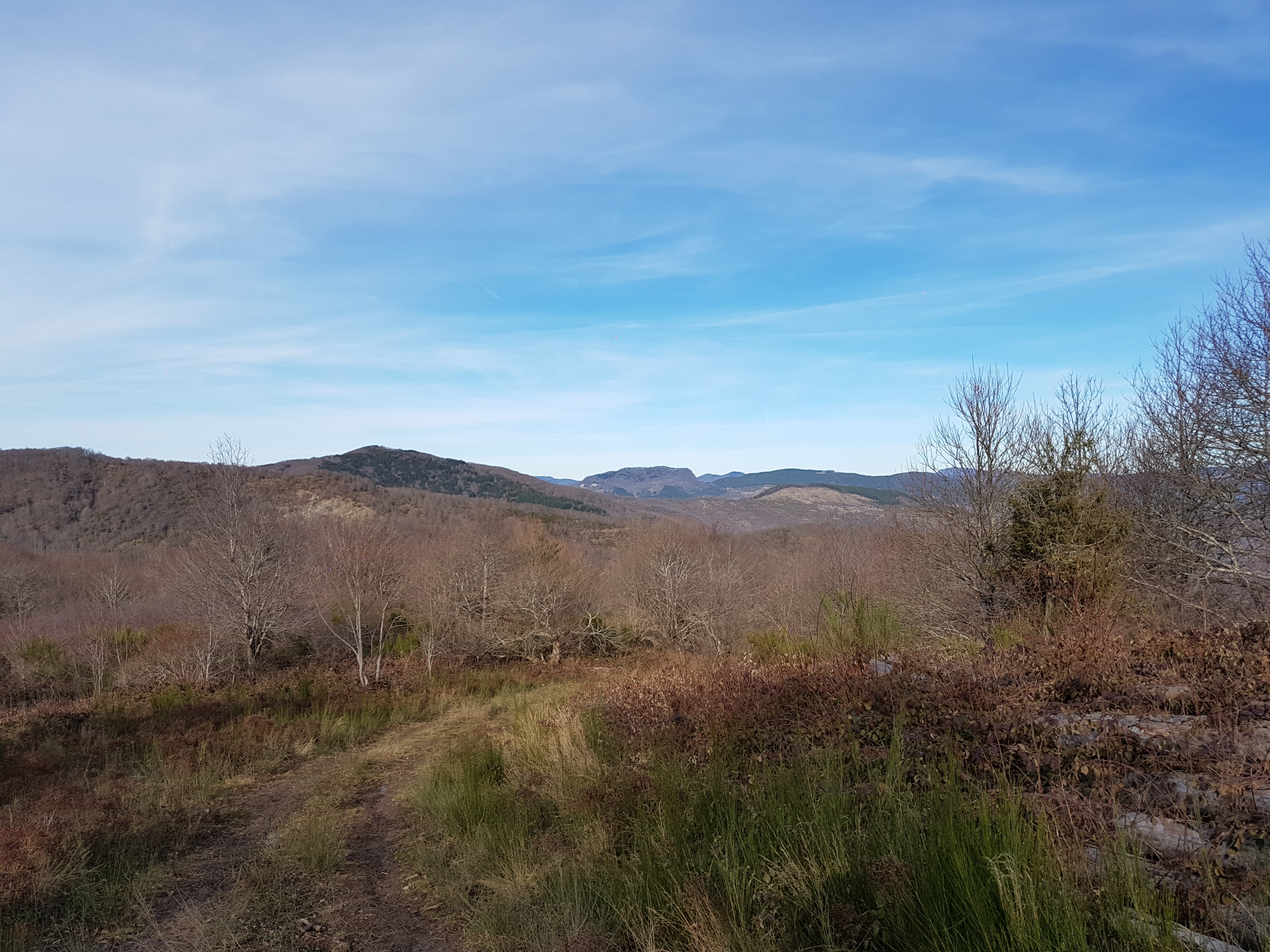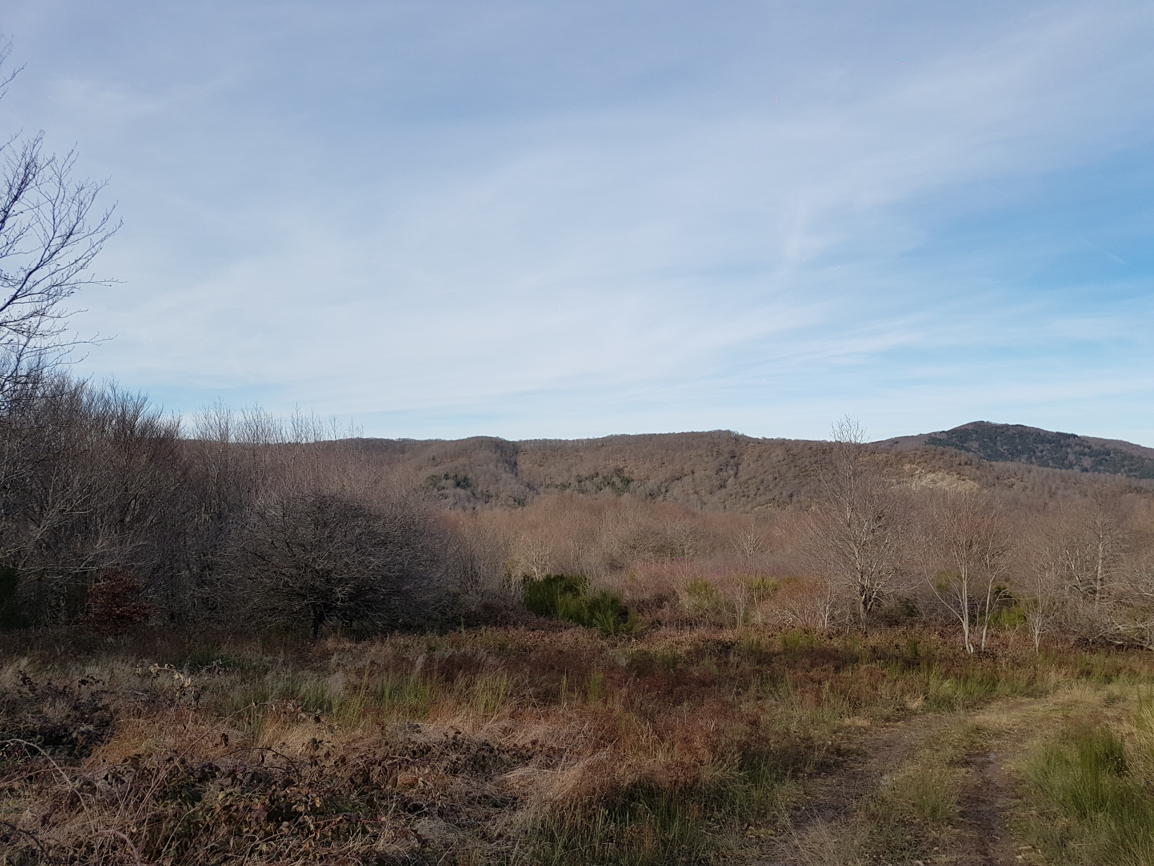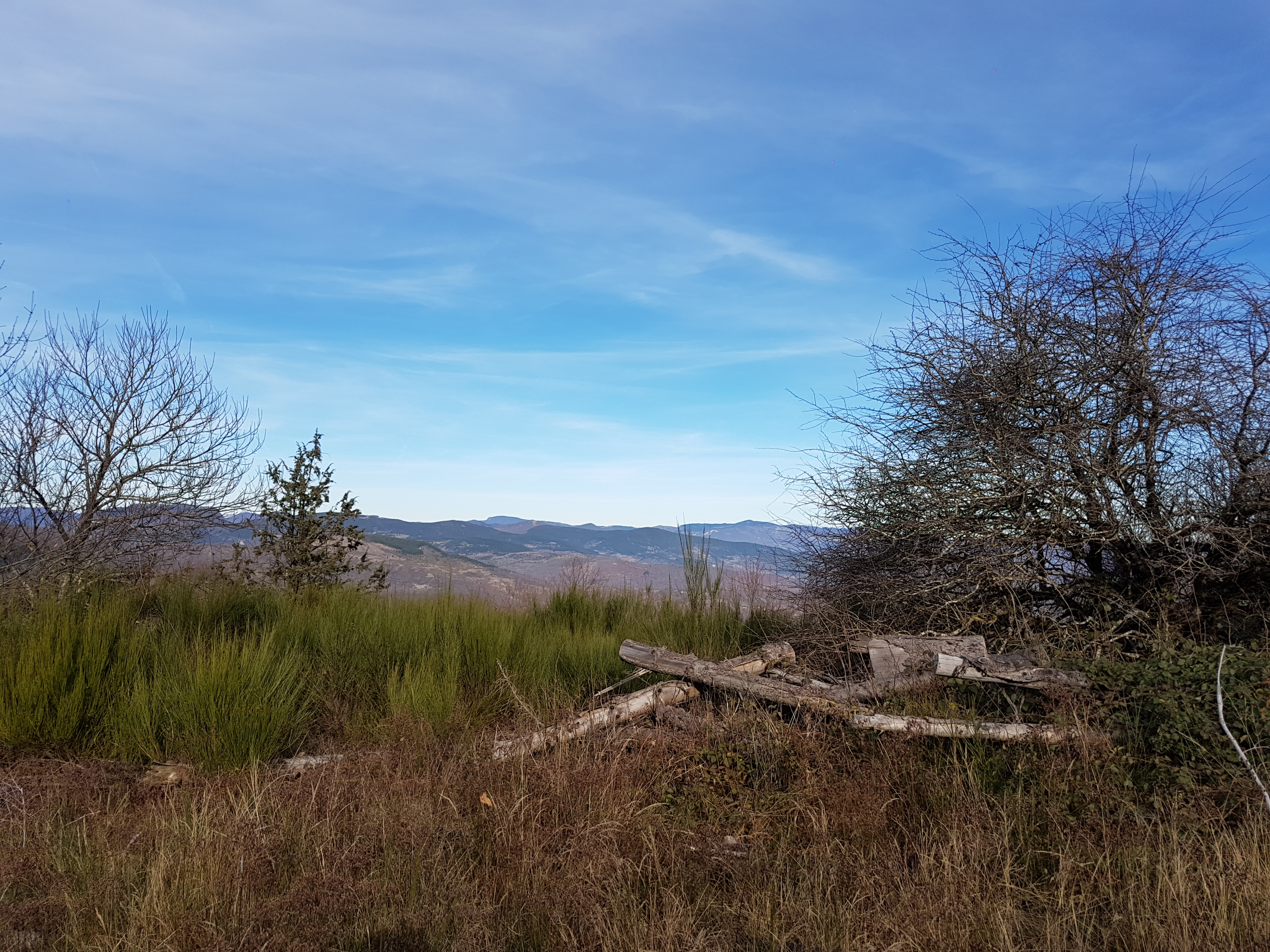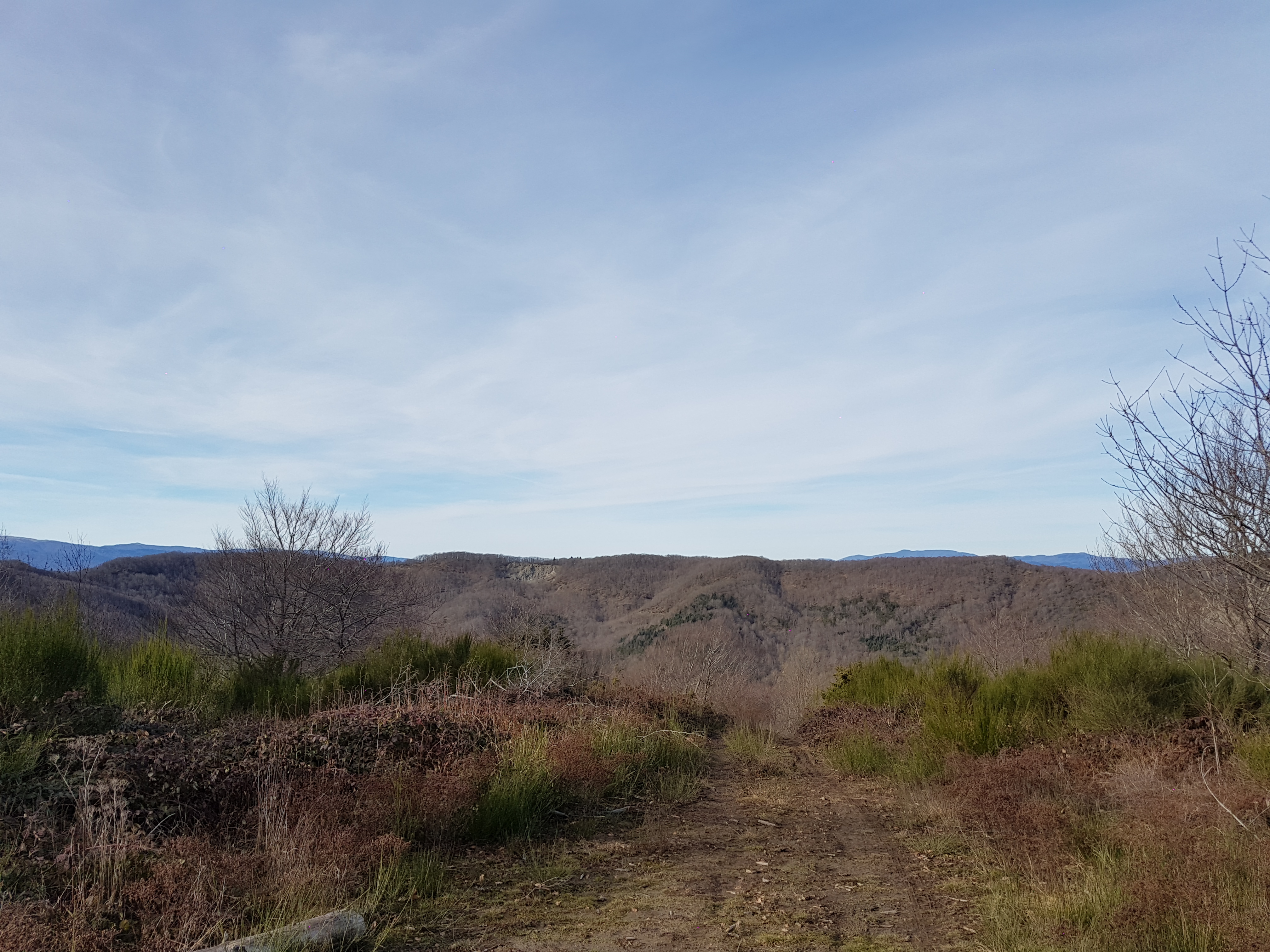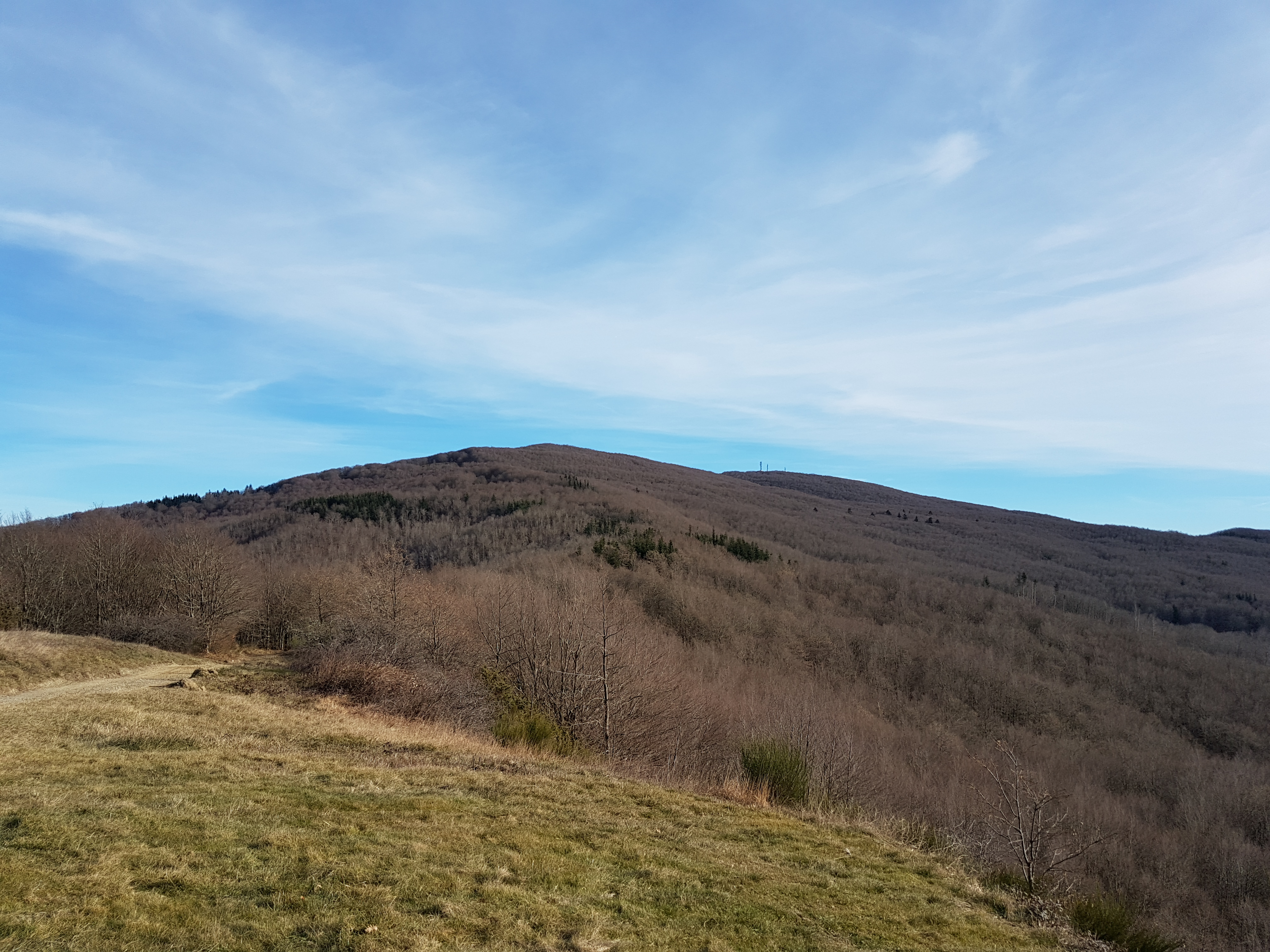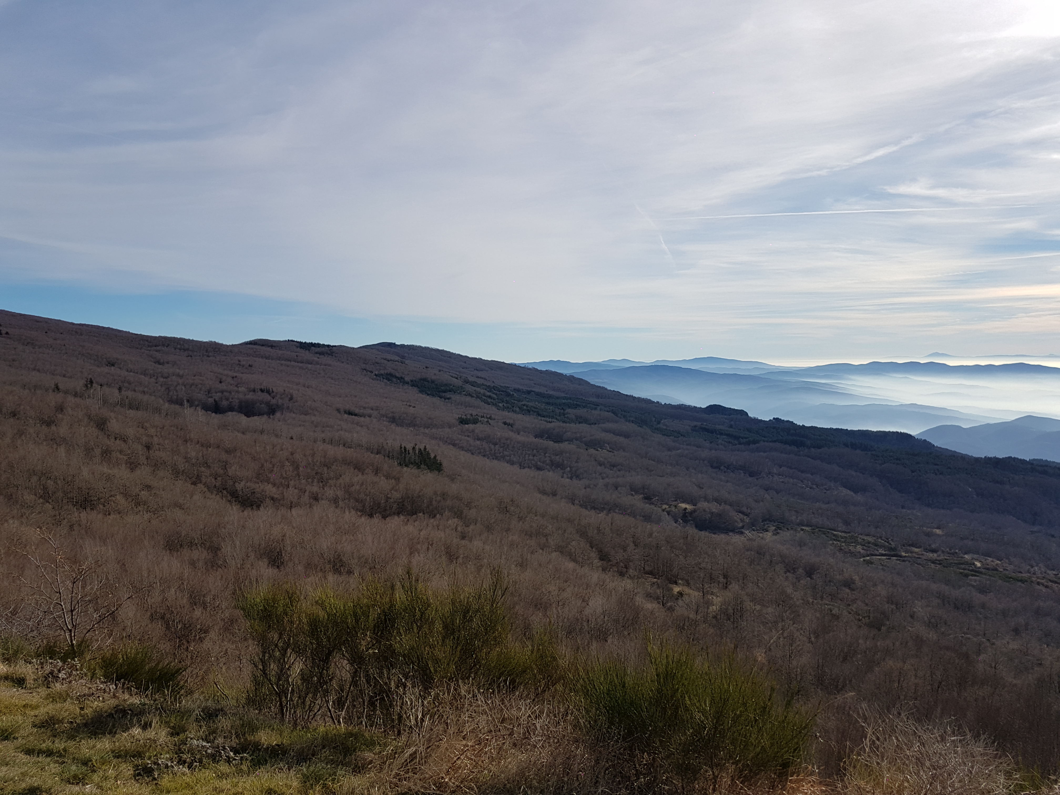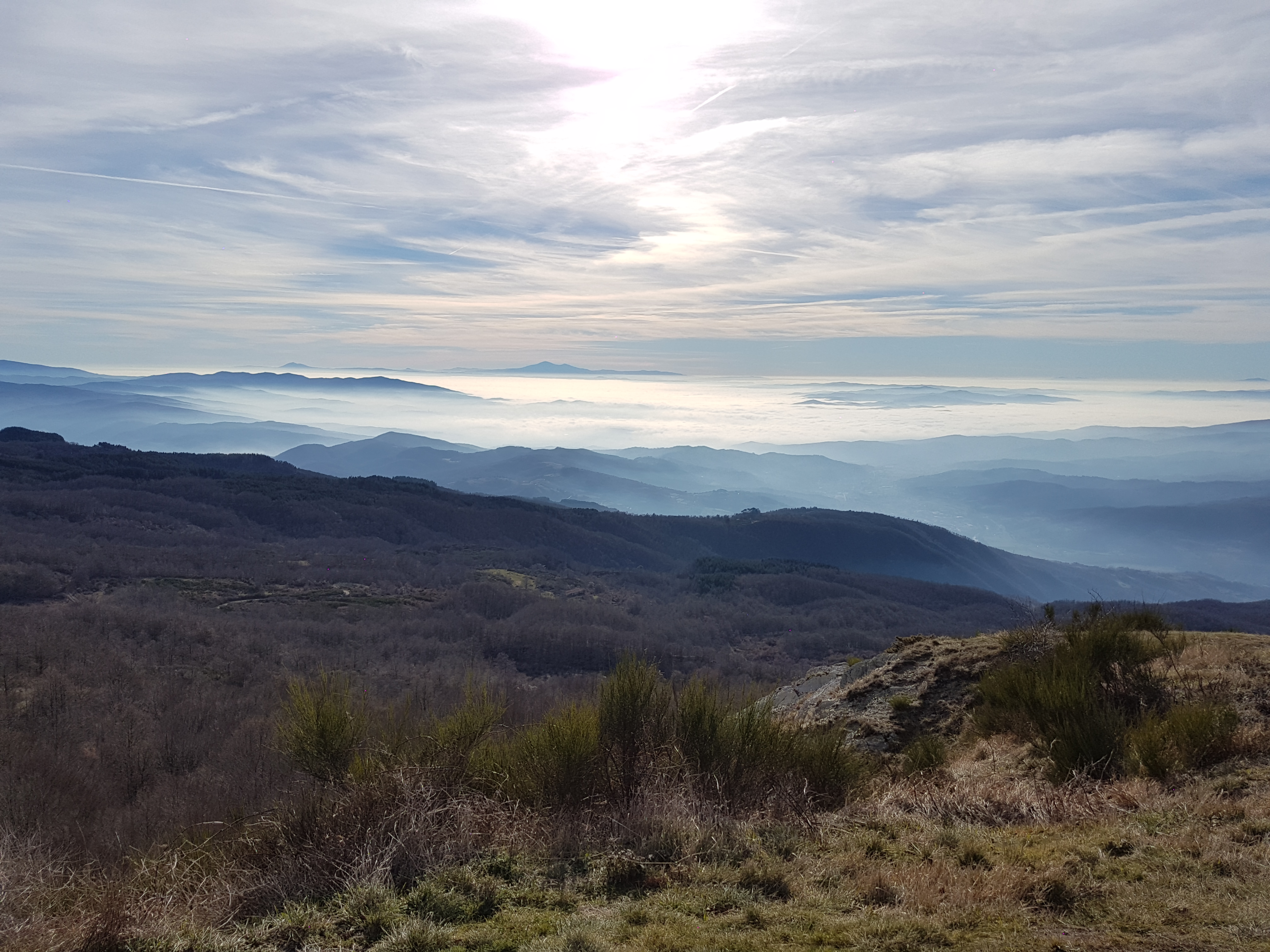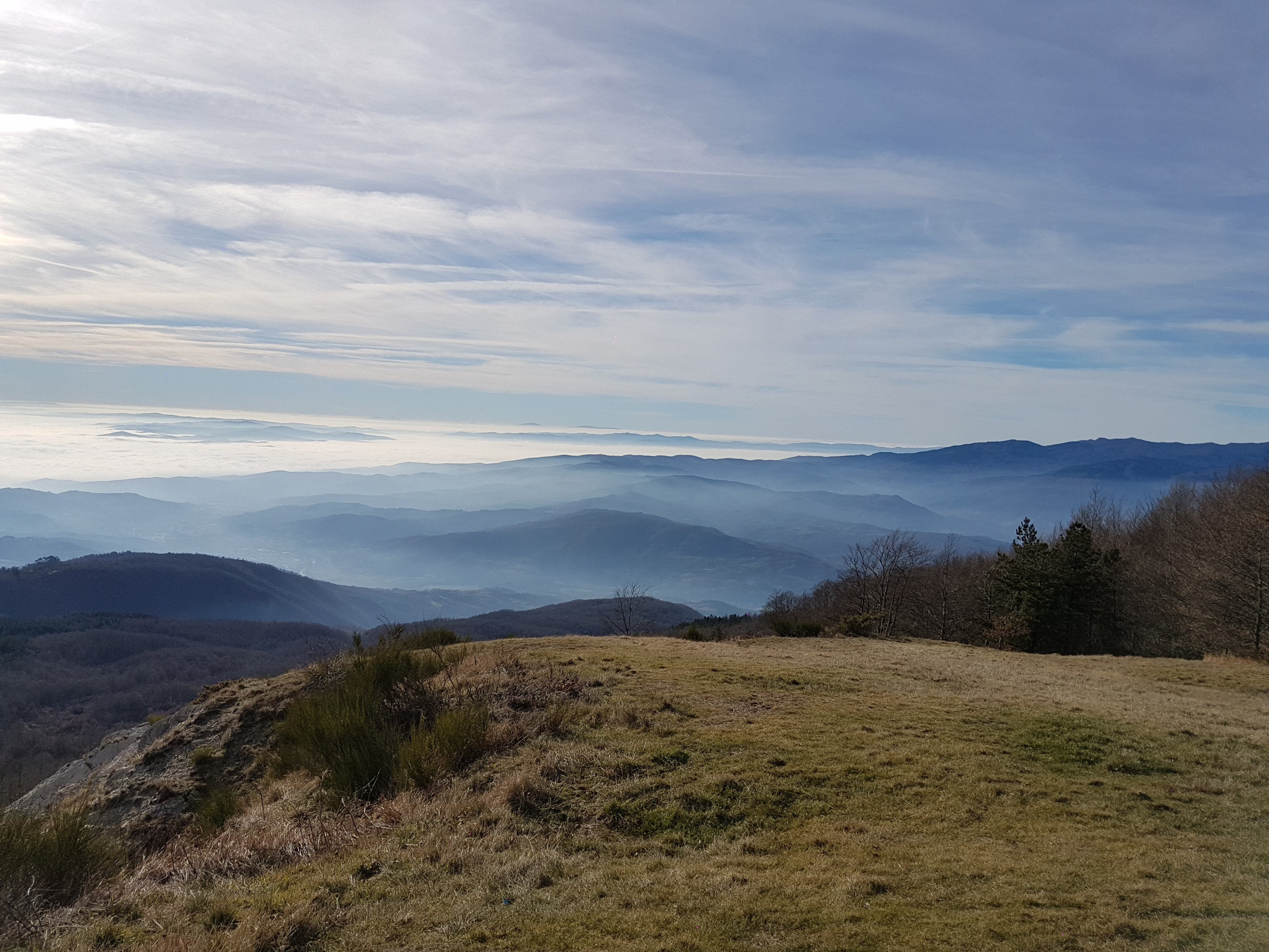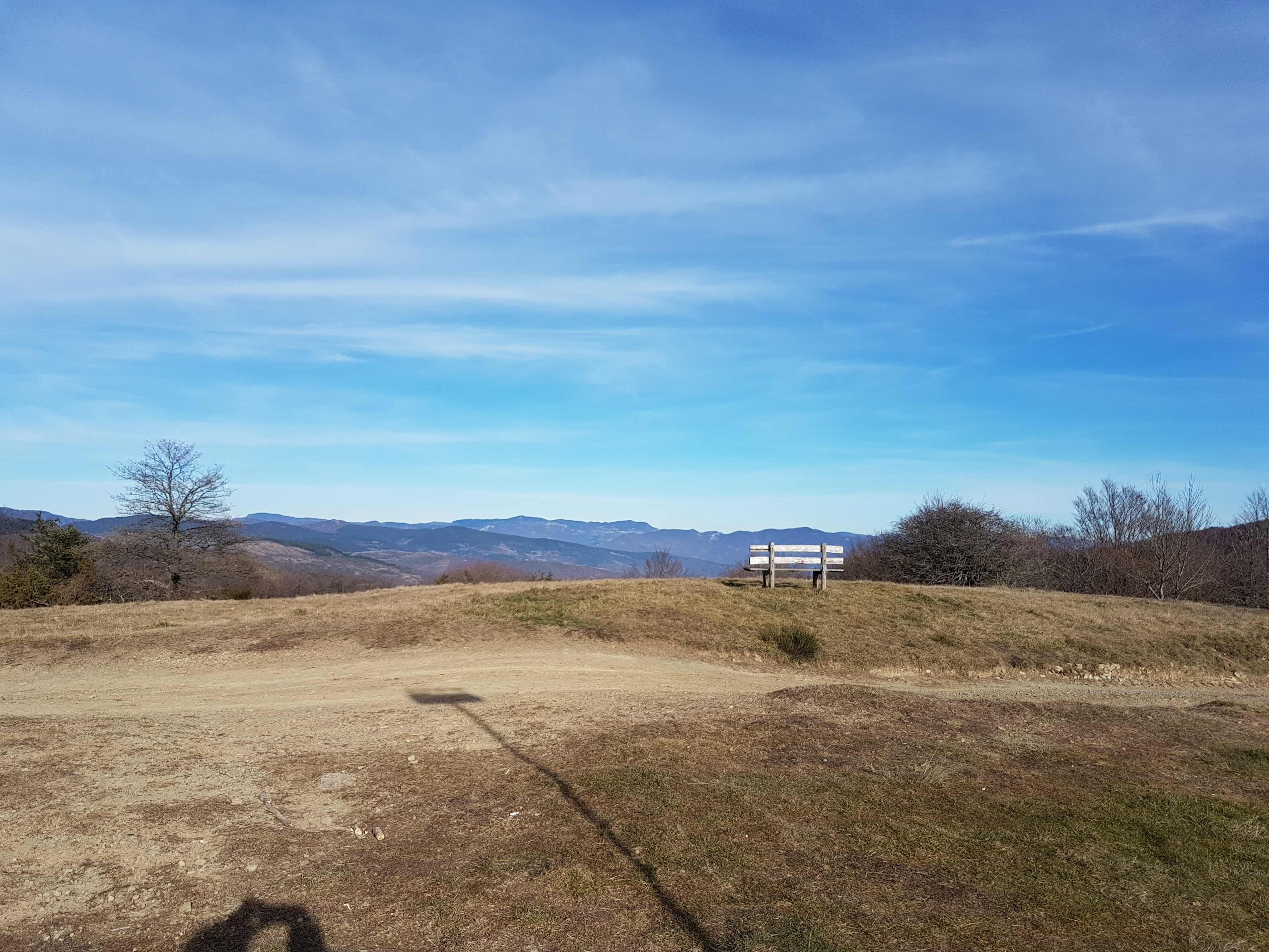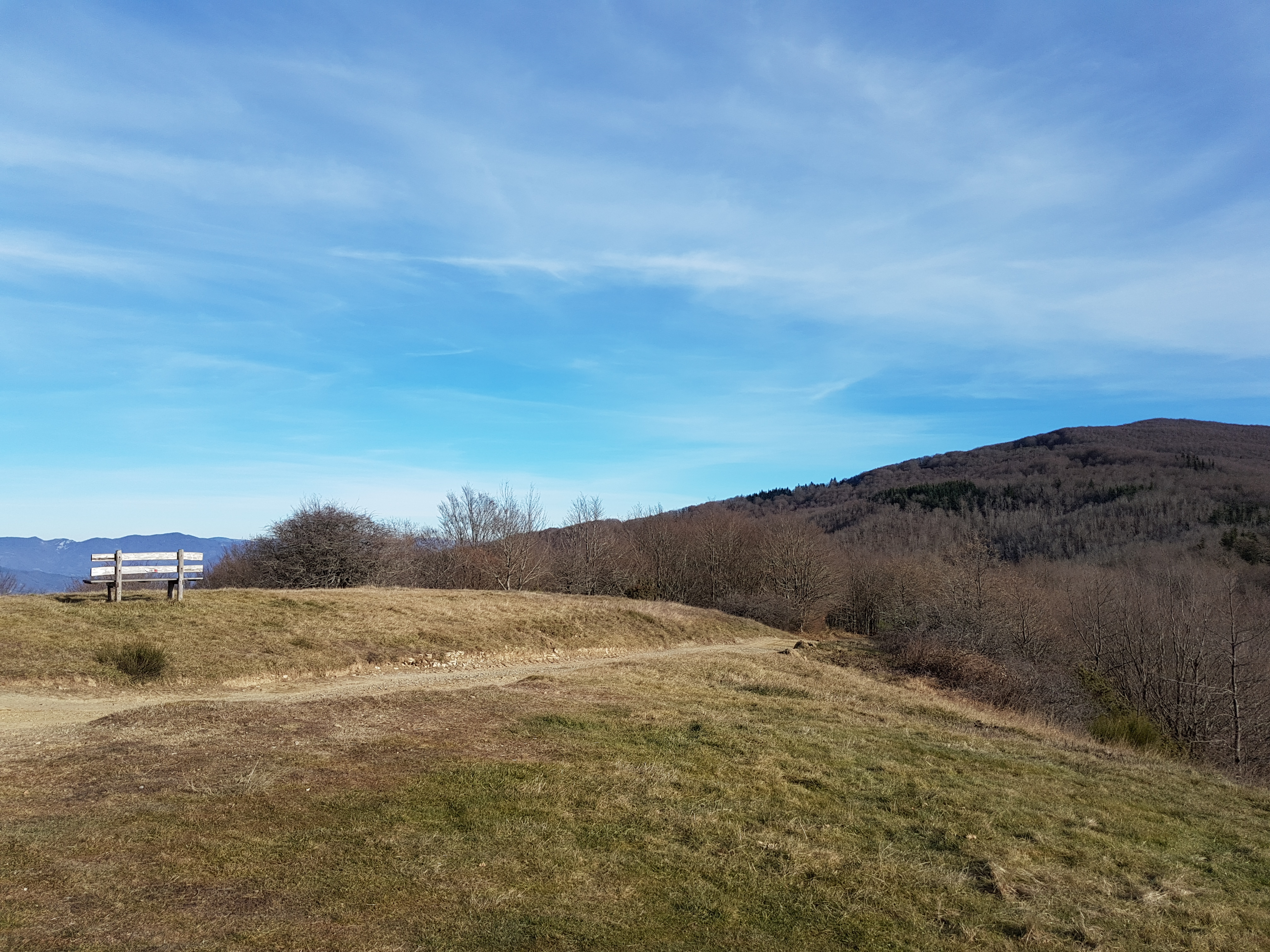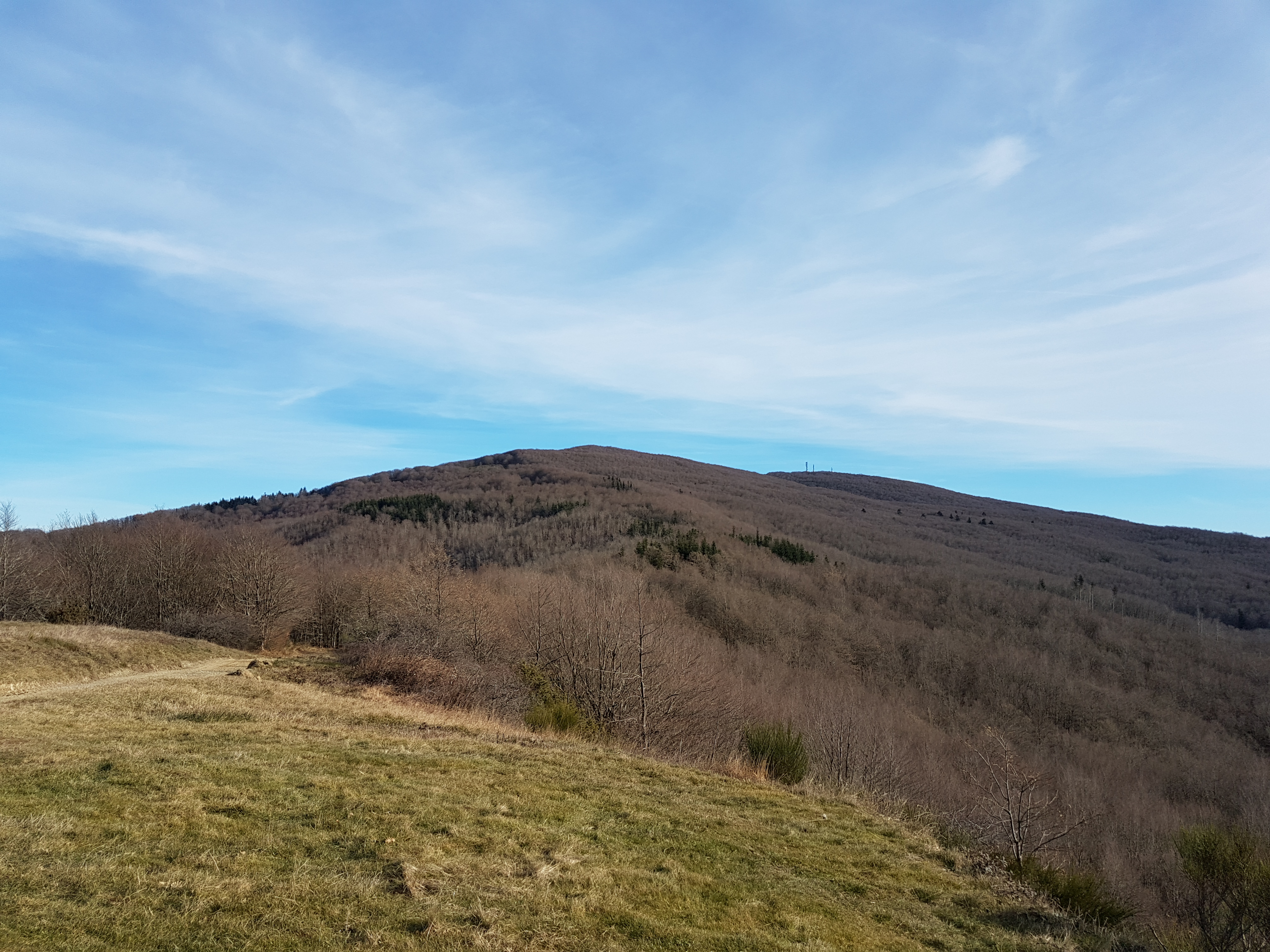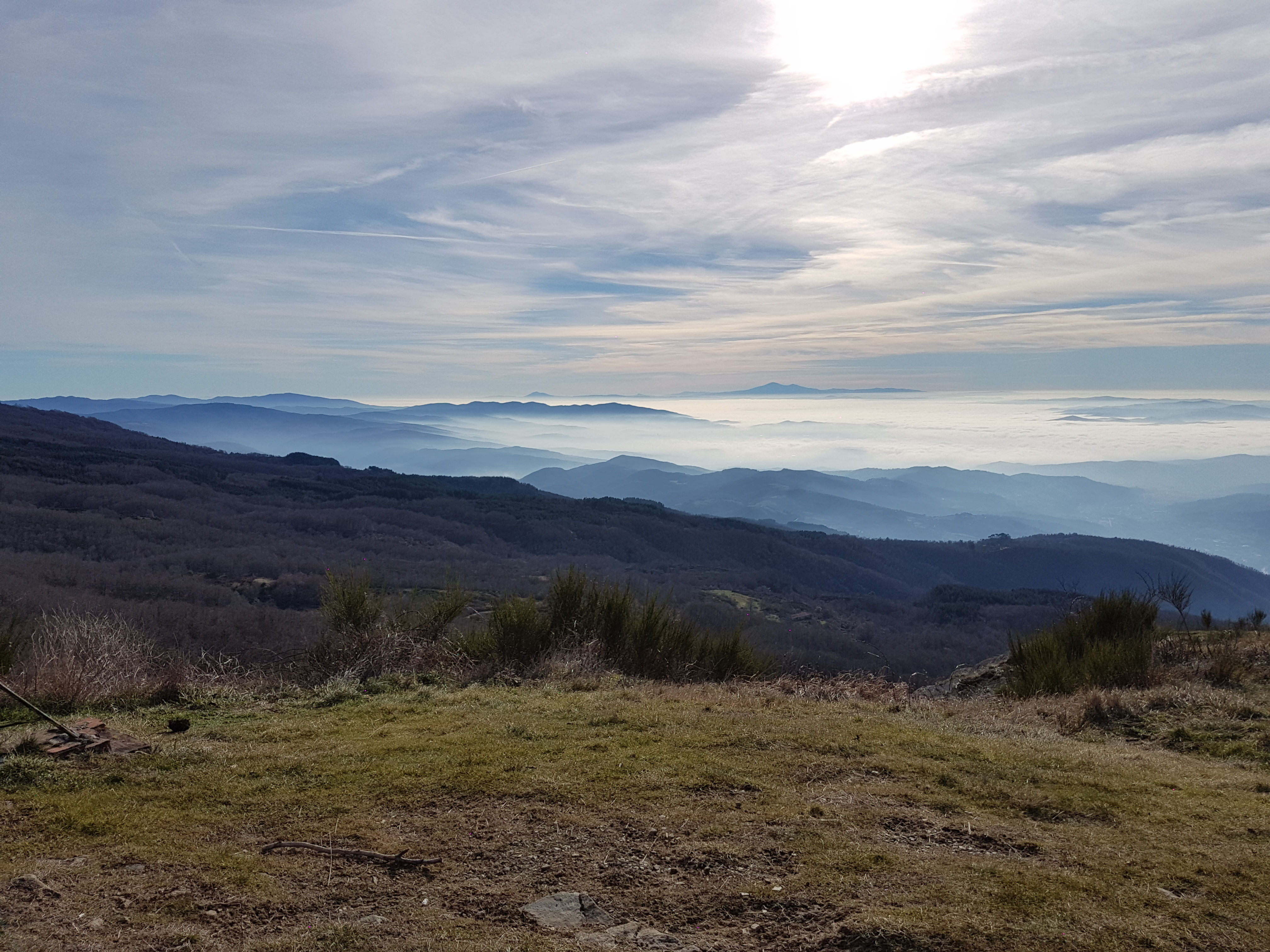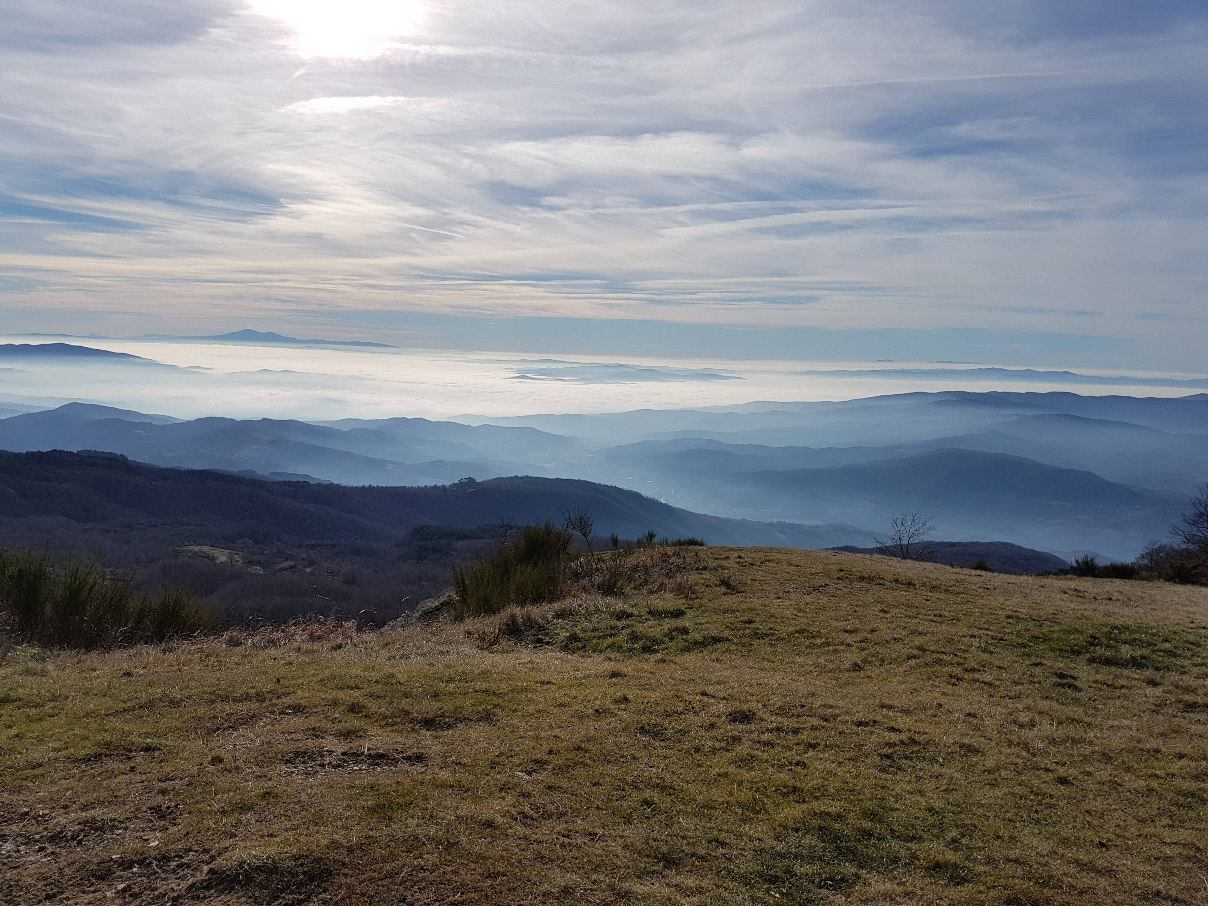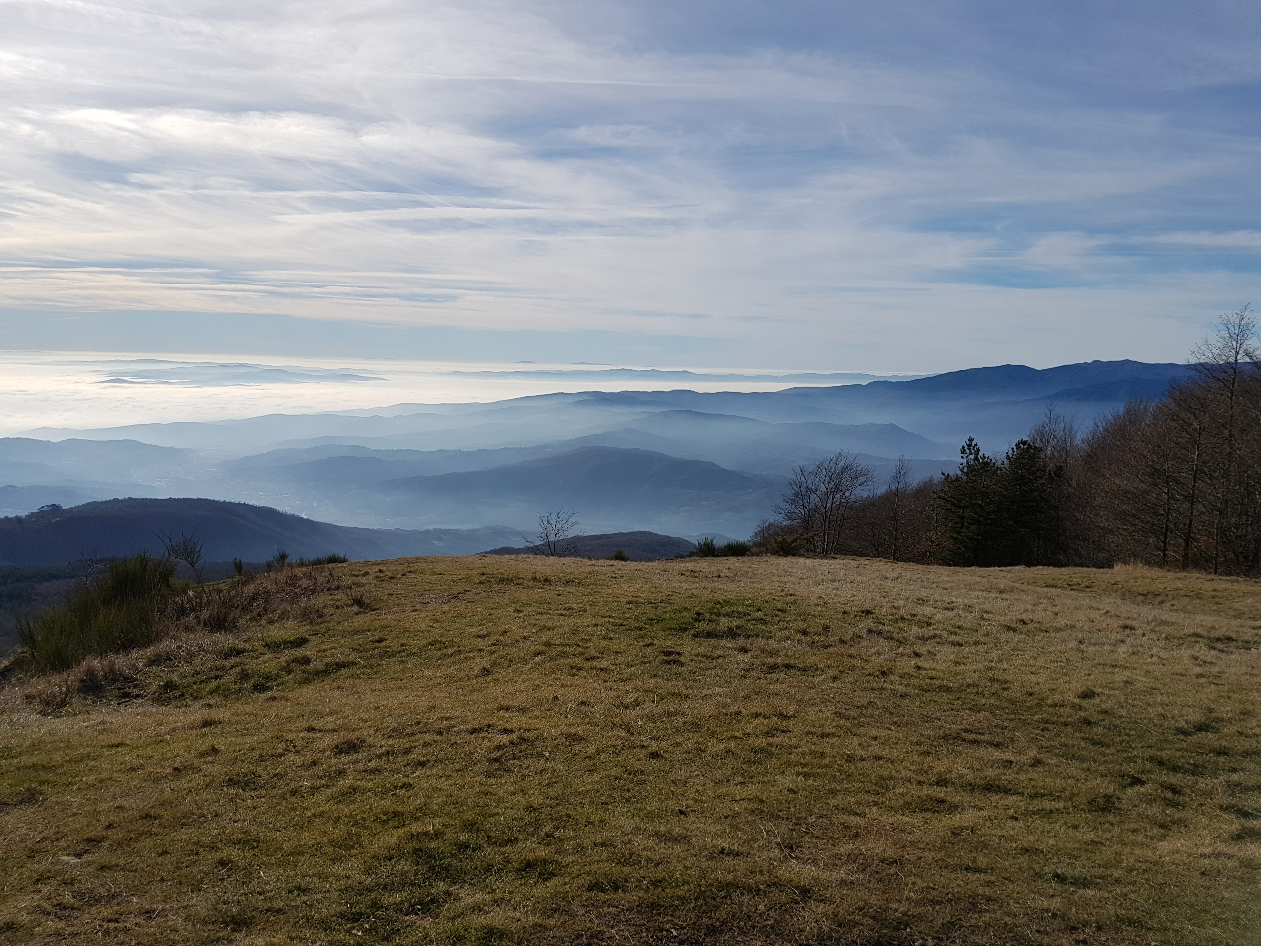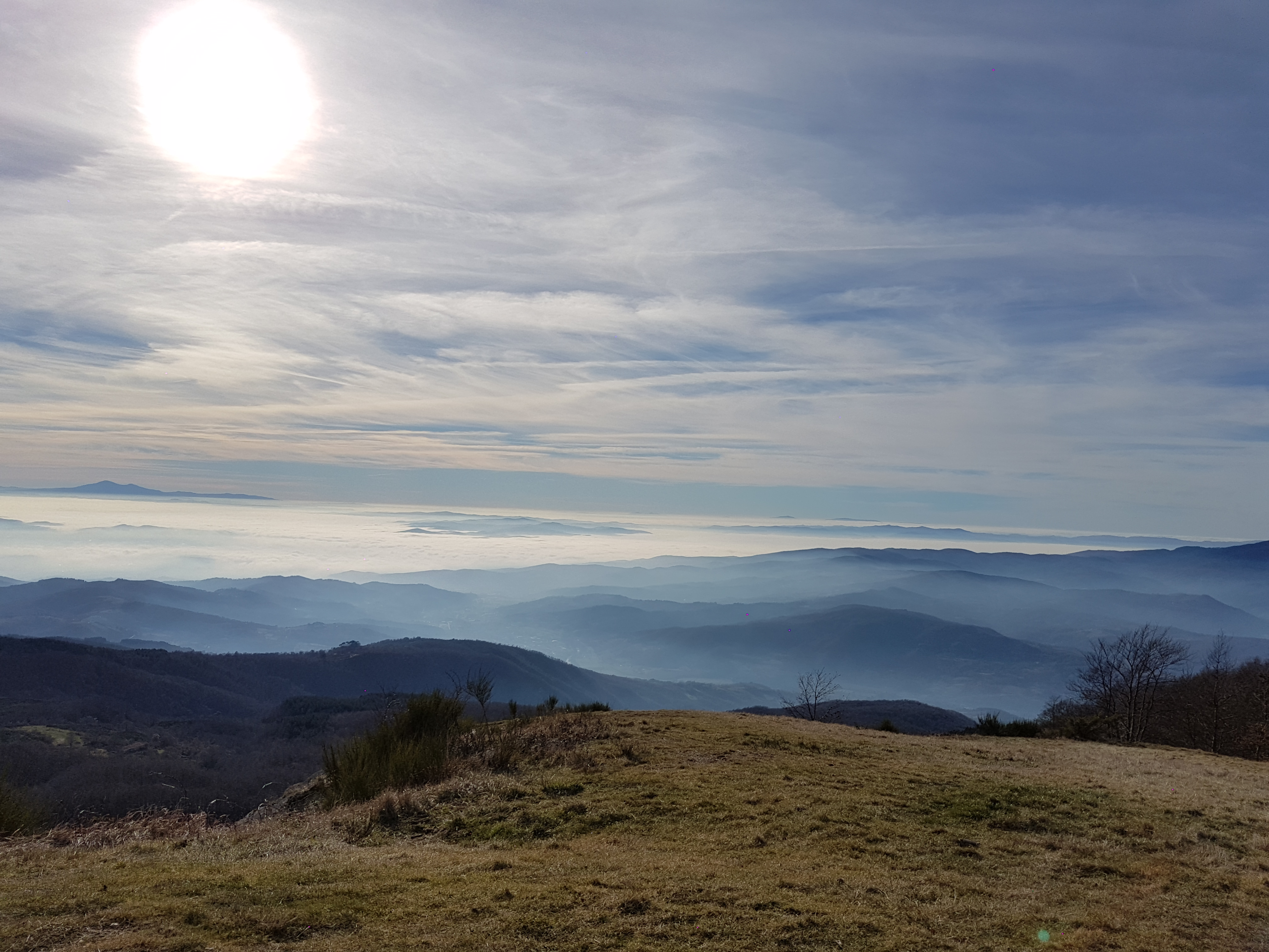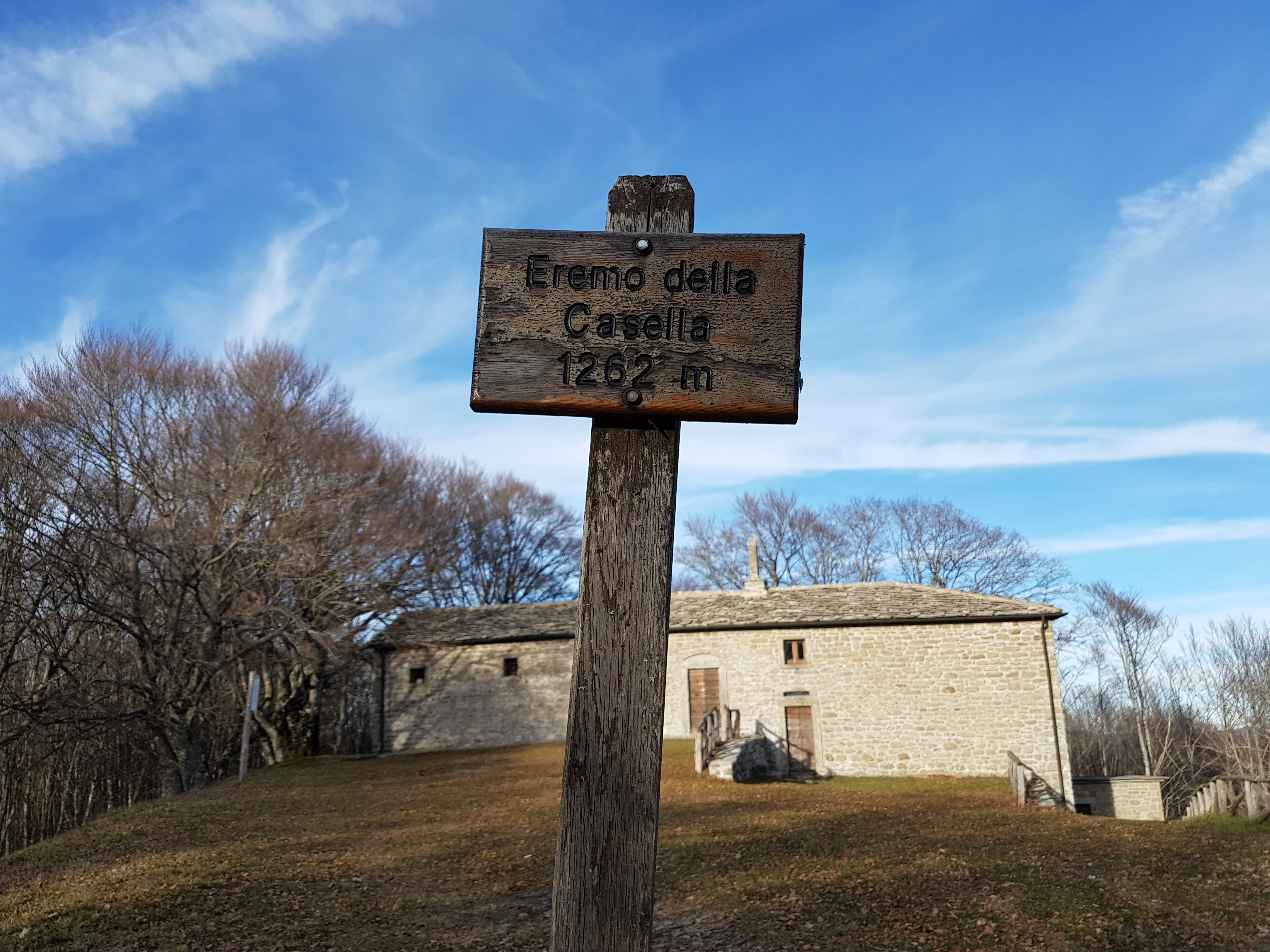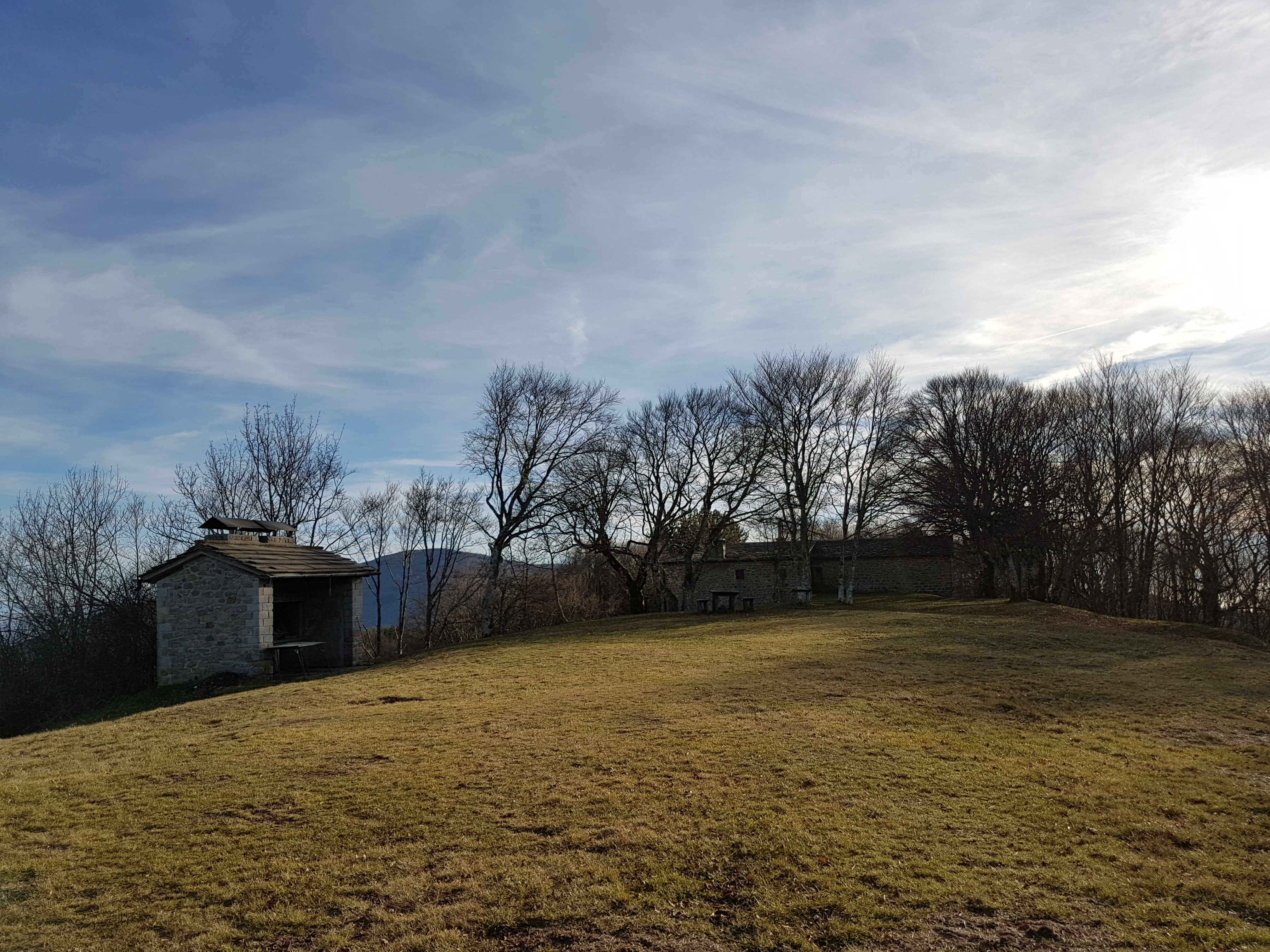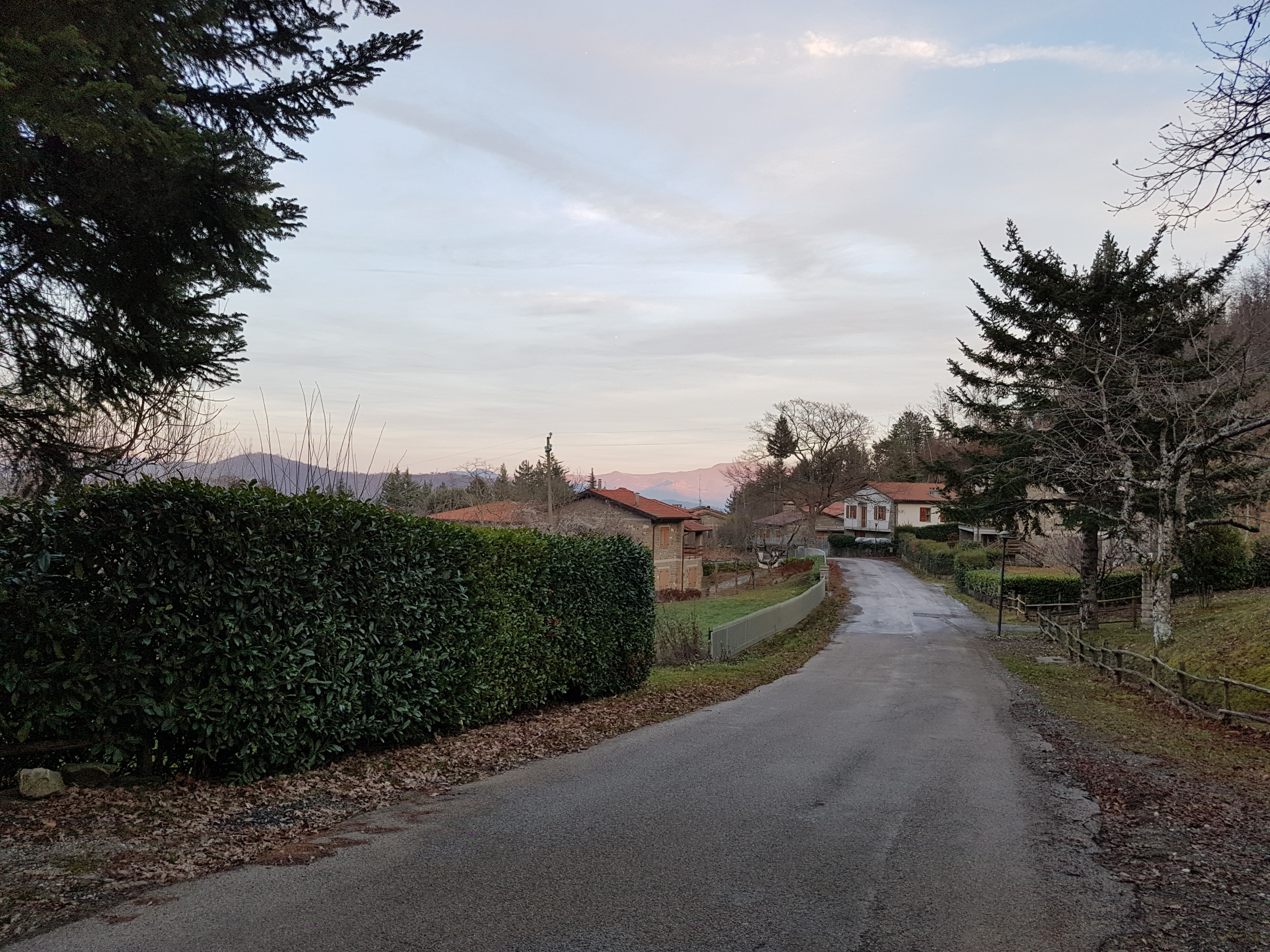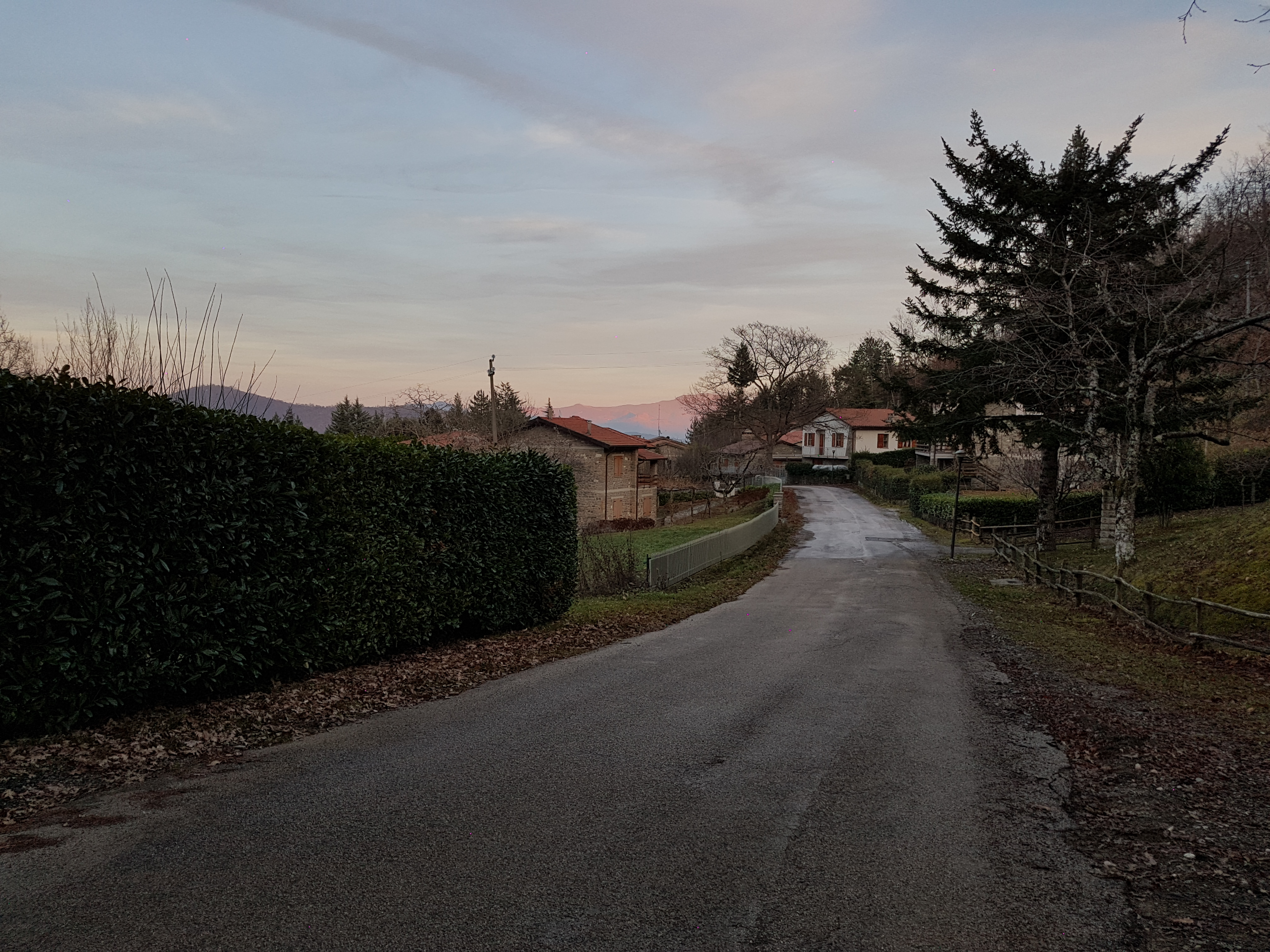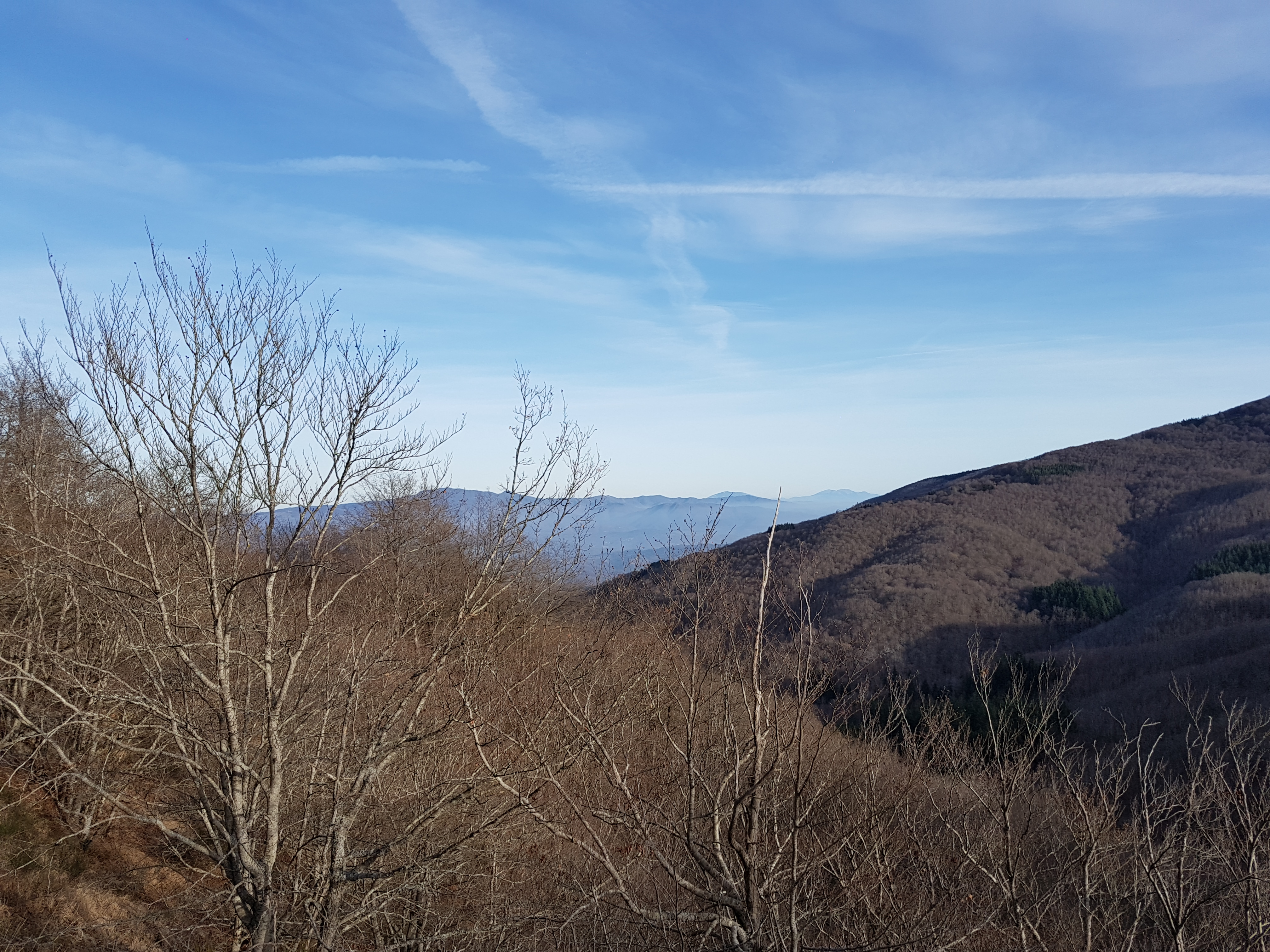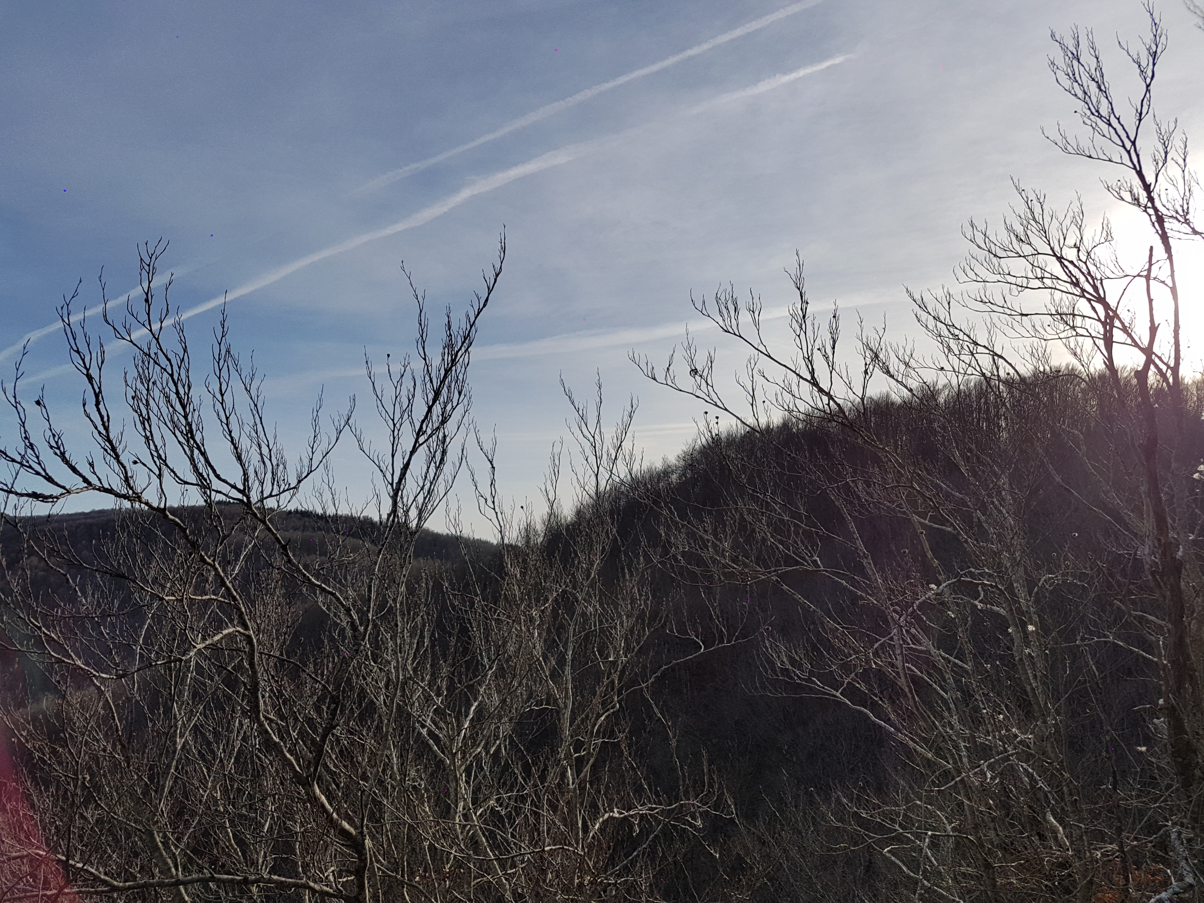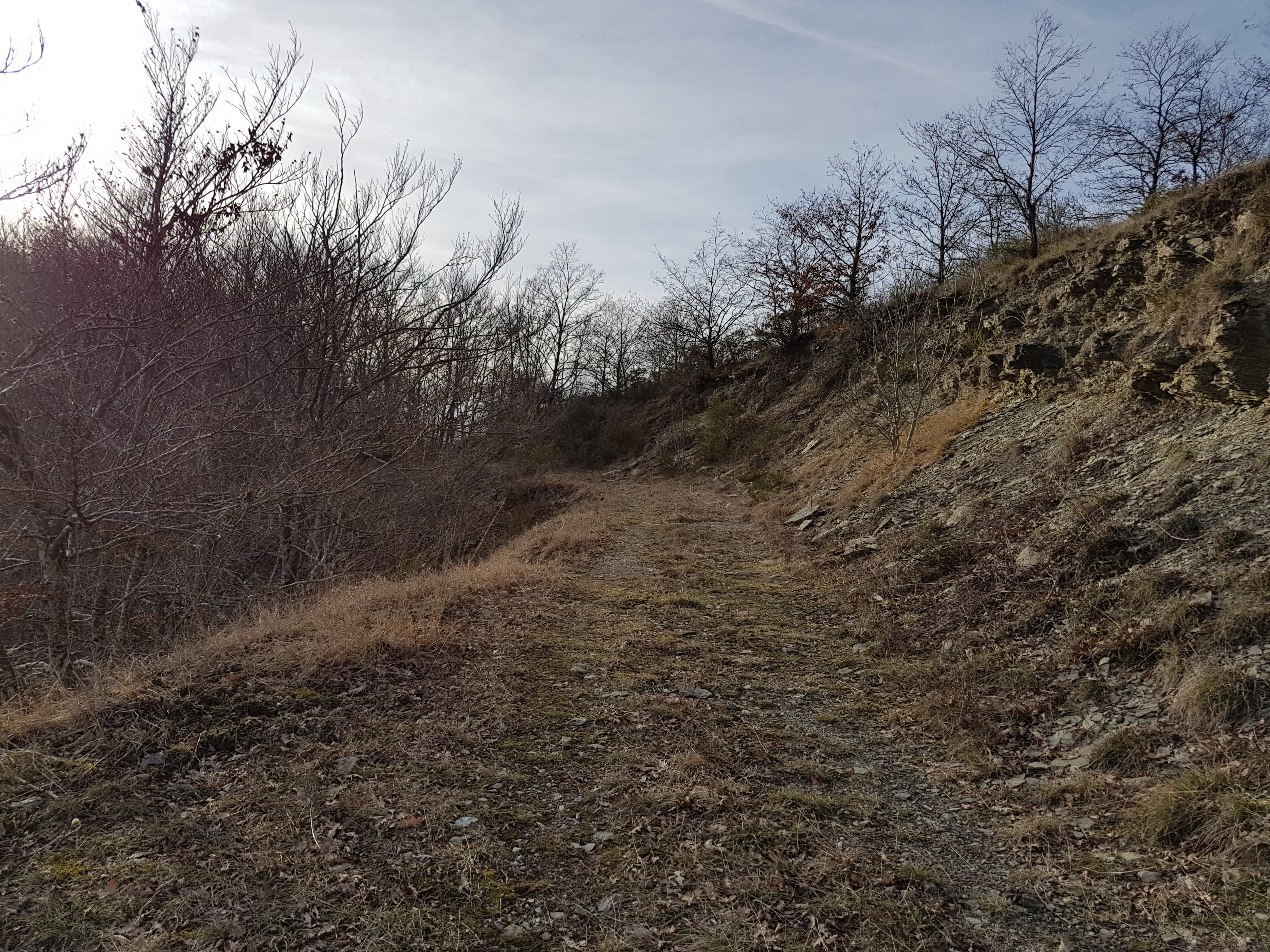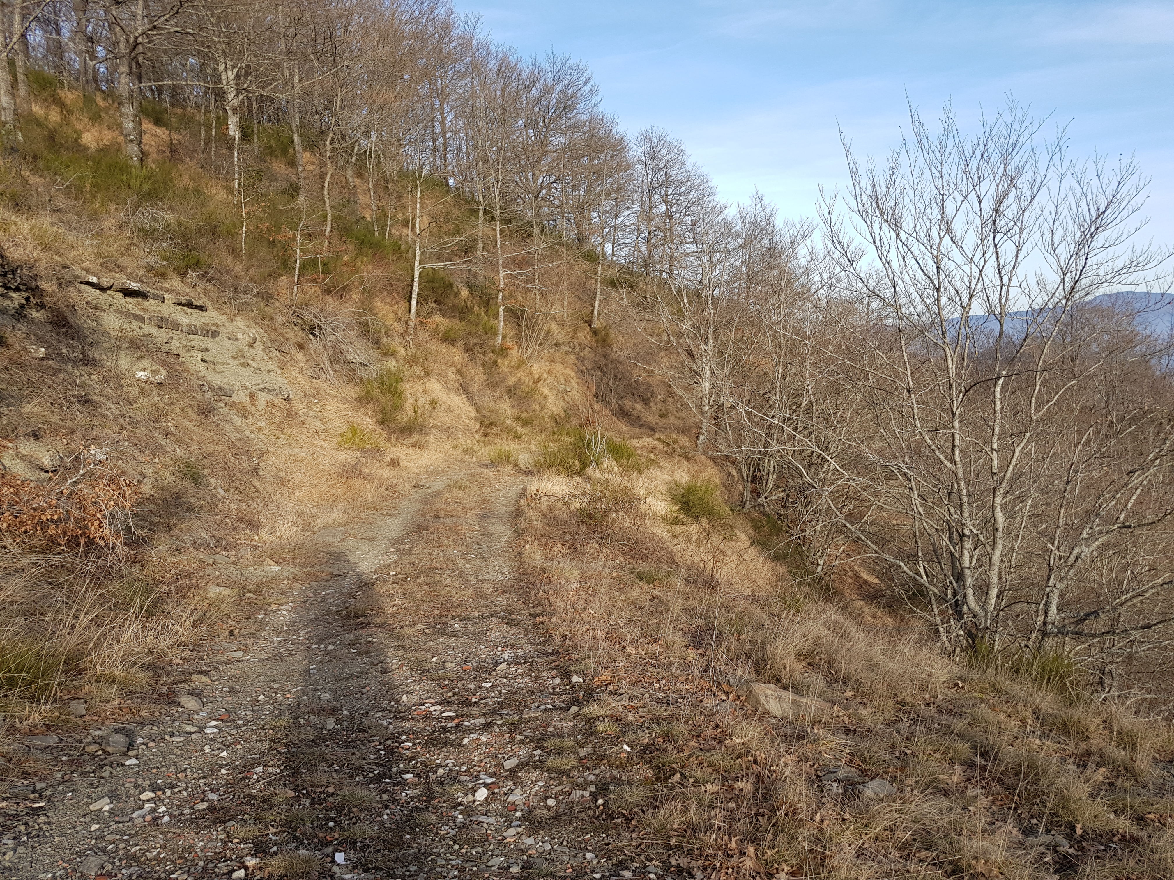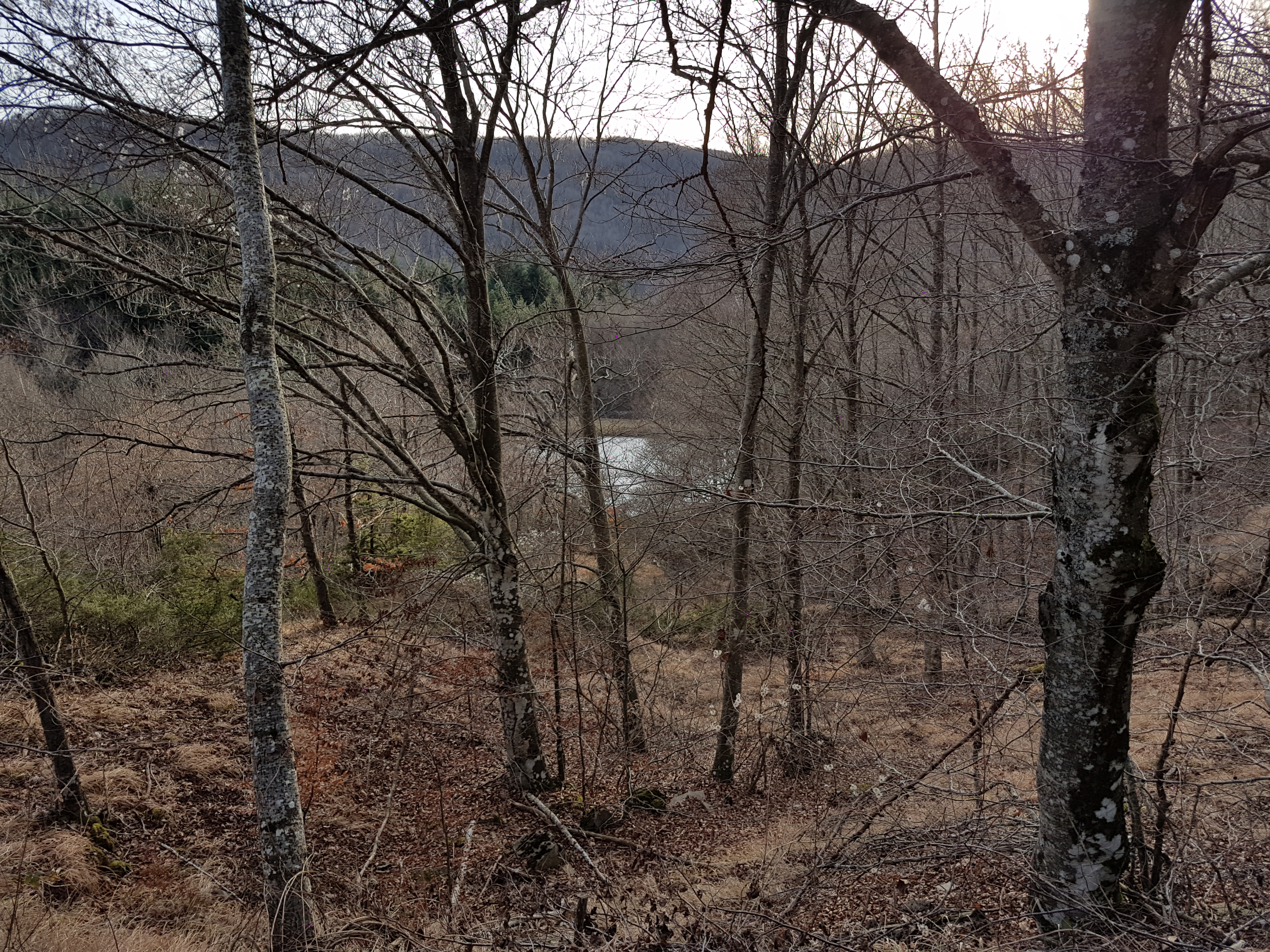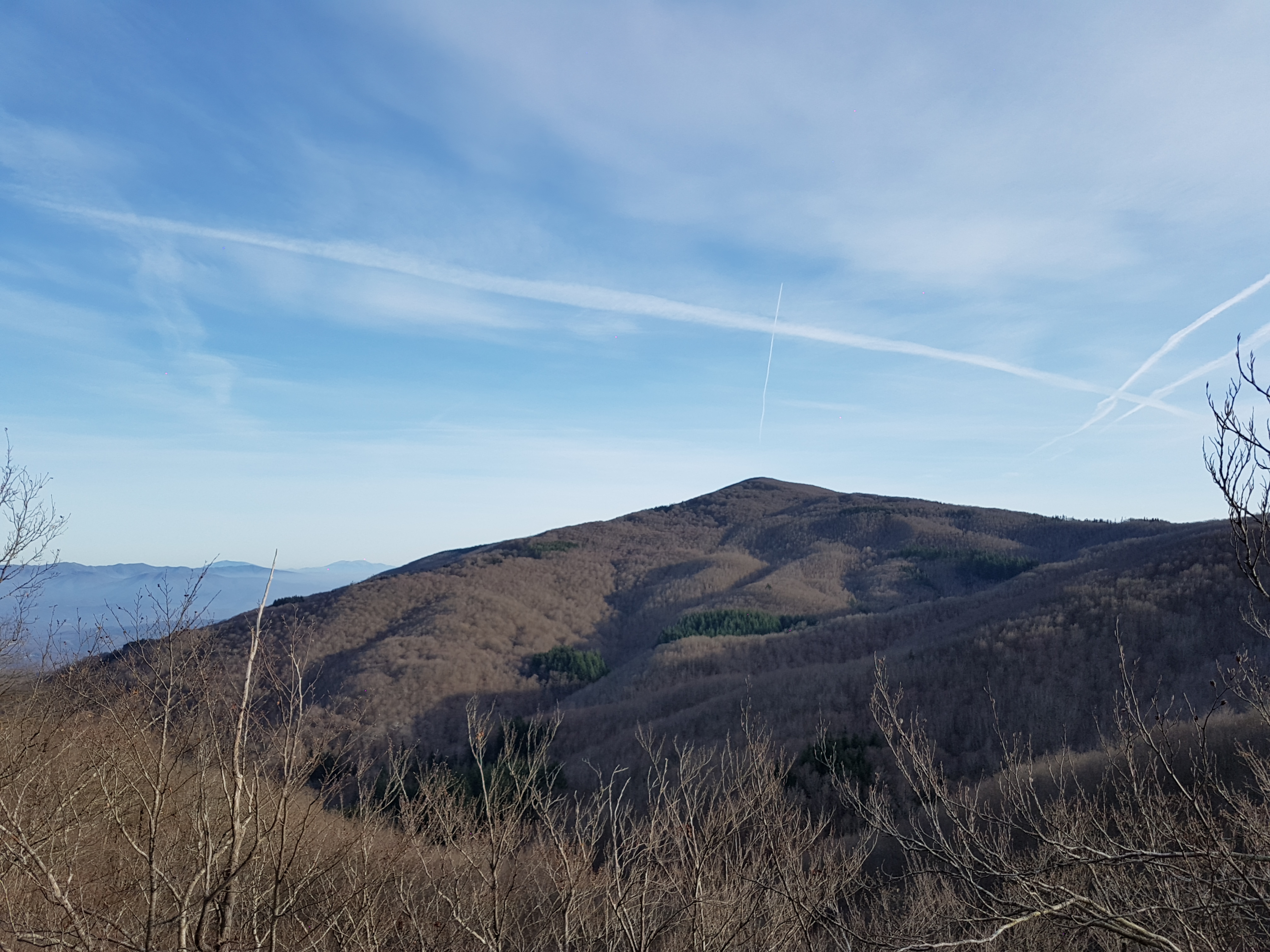
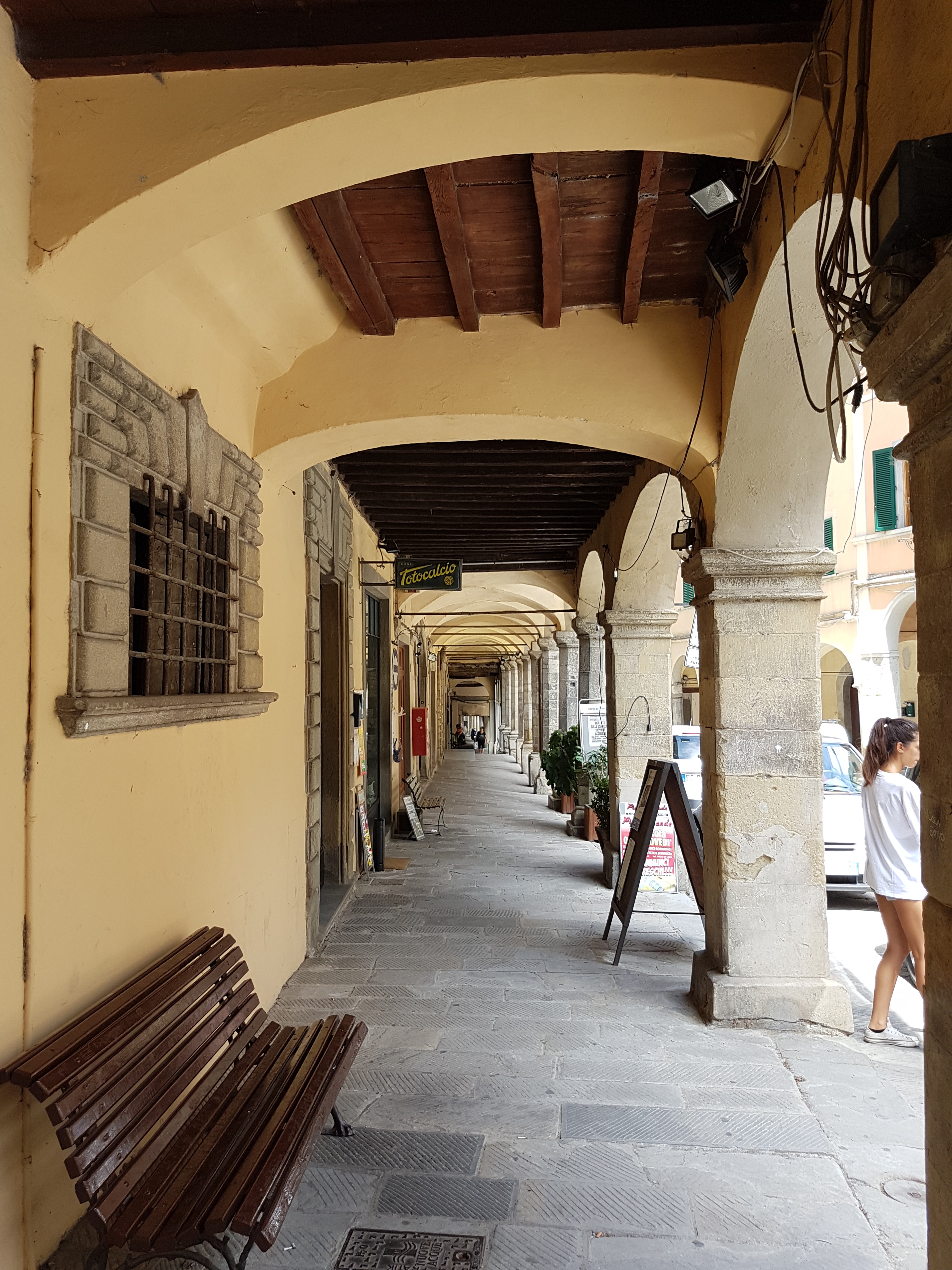
This nice and short introductionary route around nearby passes on really scenic roads. Very good for motorcycle or sports car.
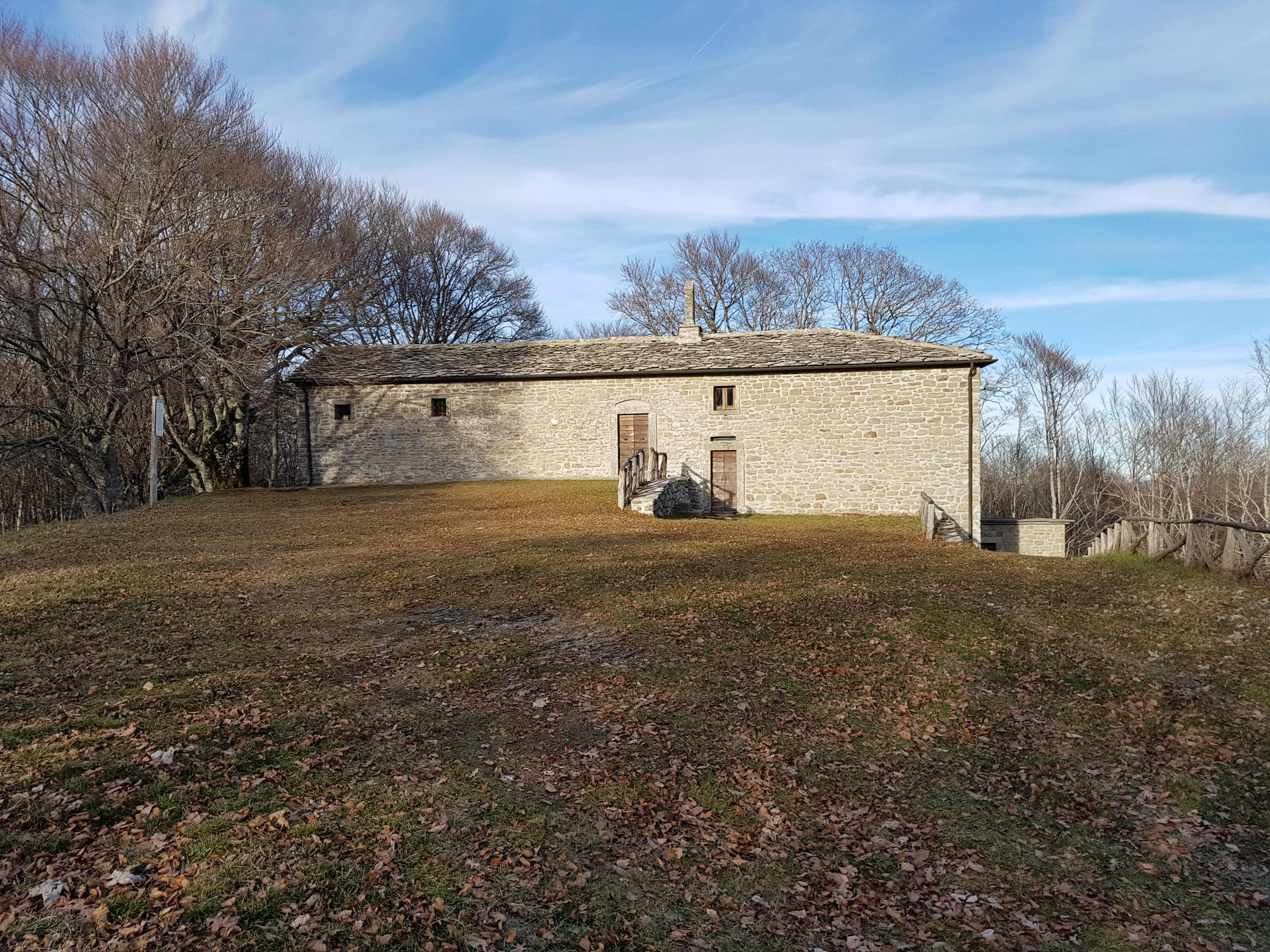
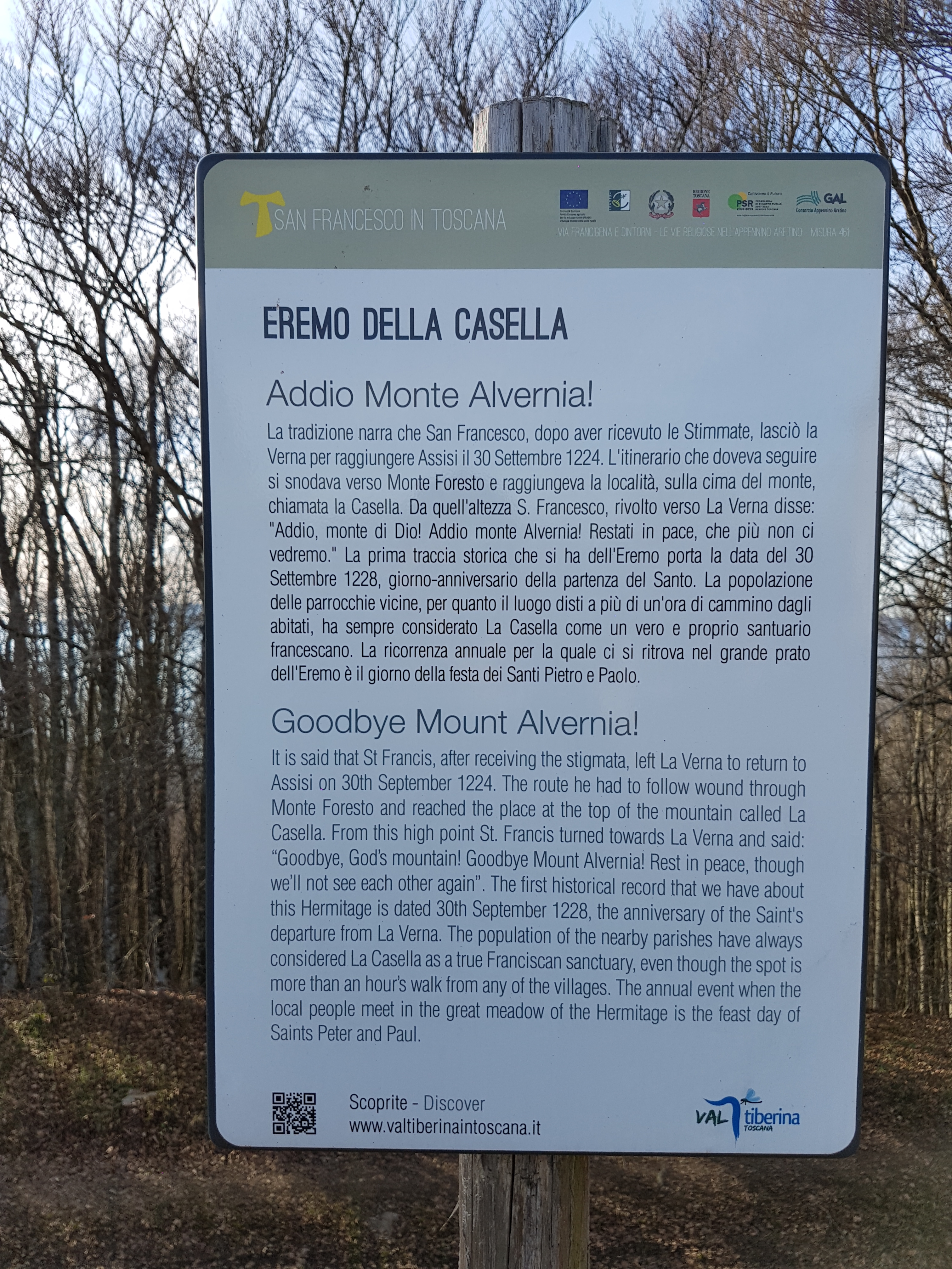
On the route You cad do some sightseeing since You ride/drive through:
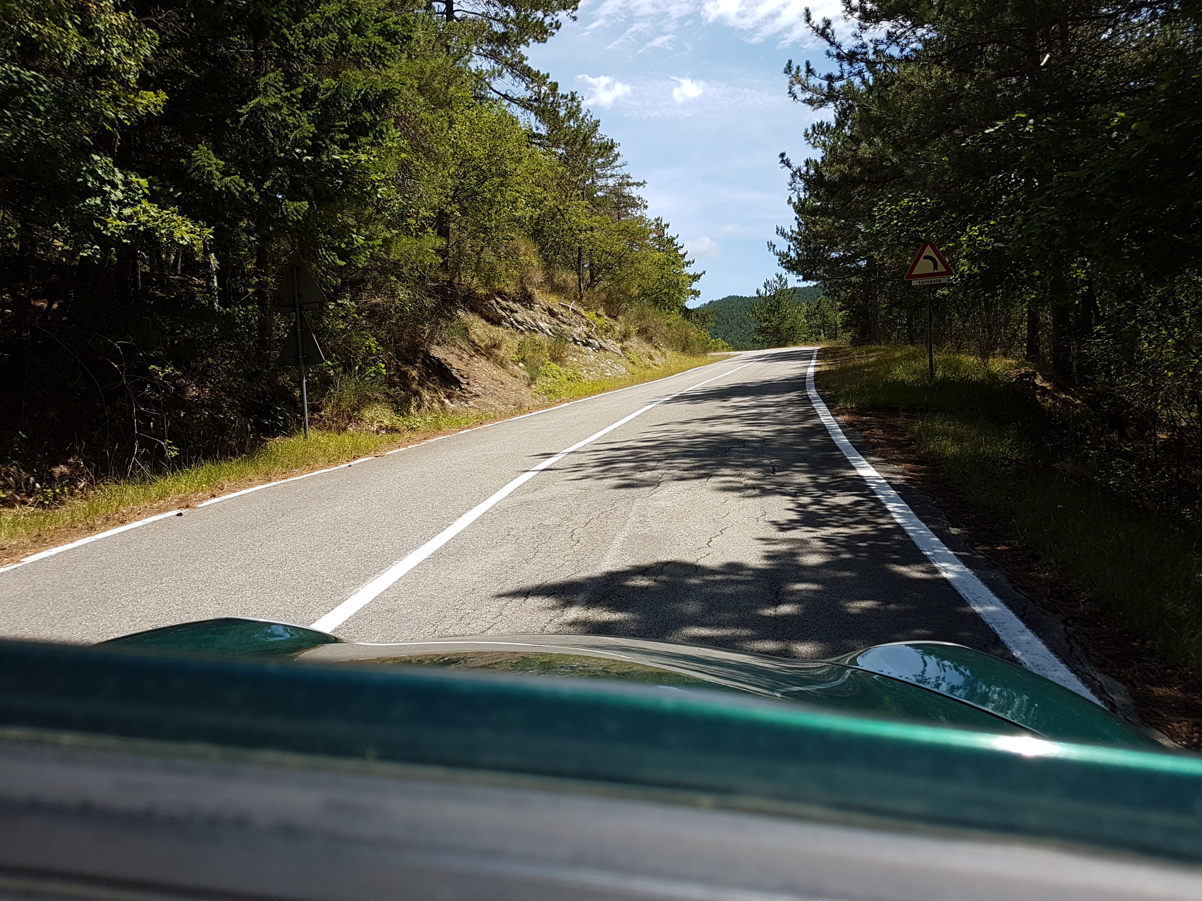
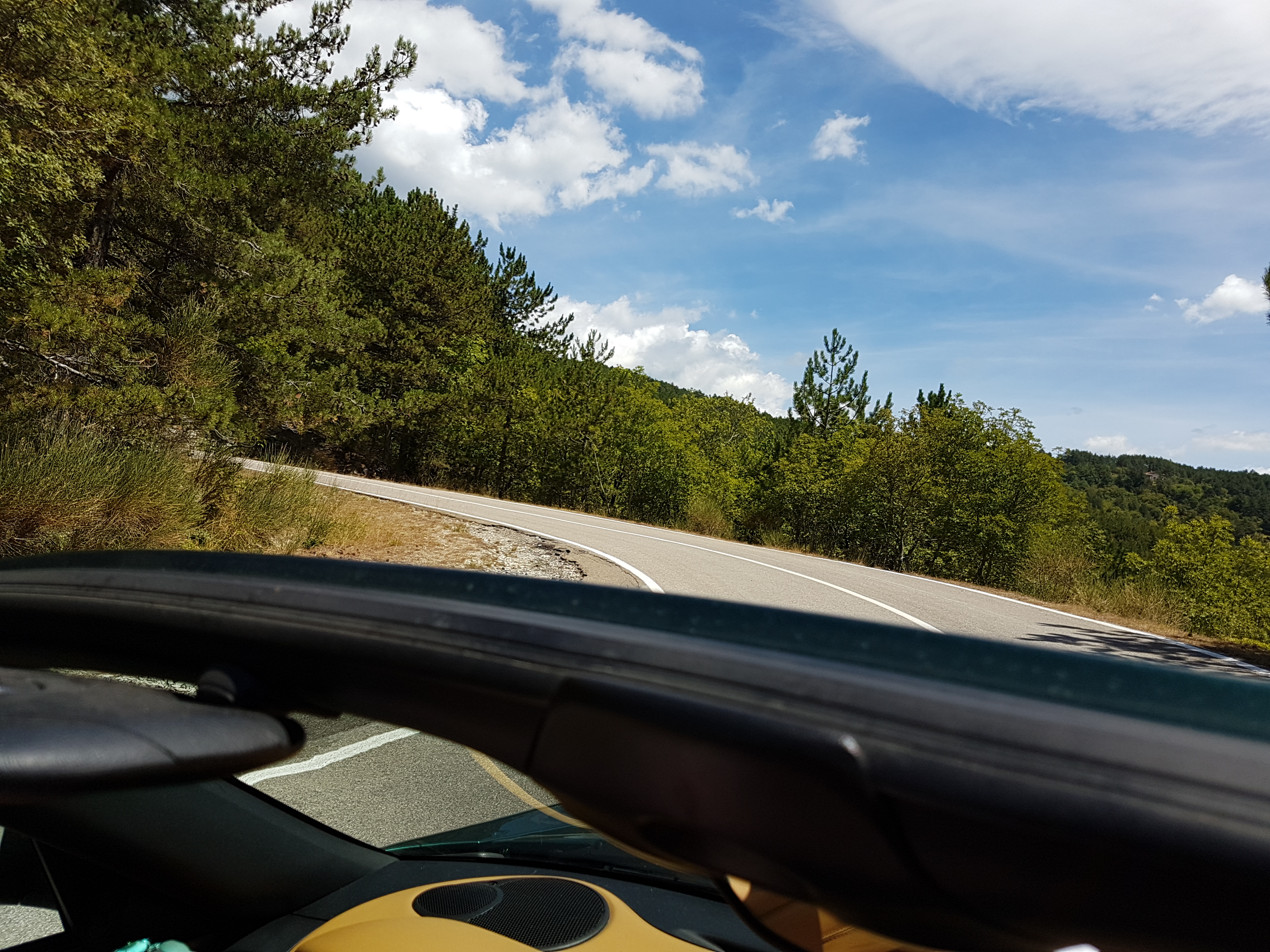
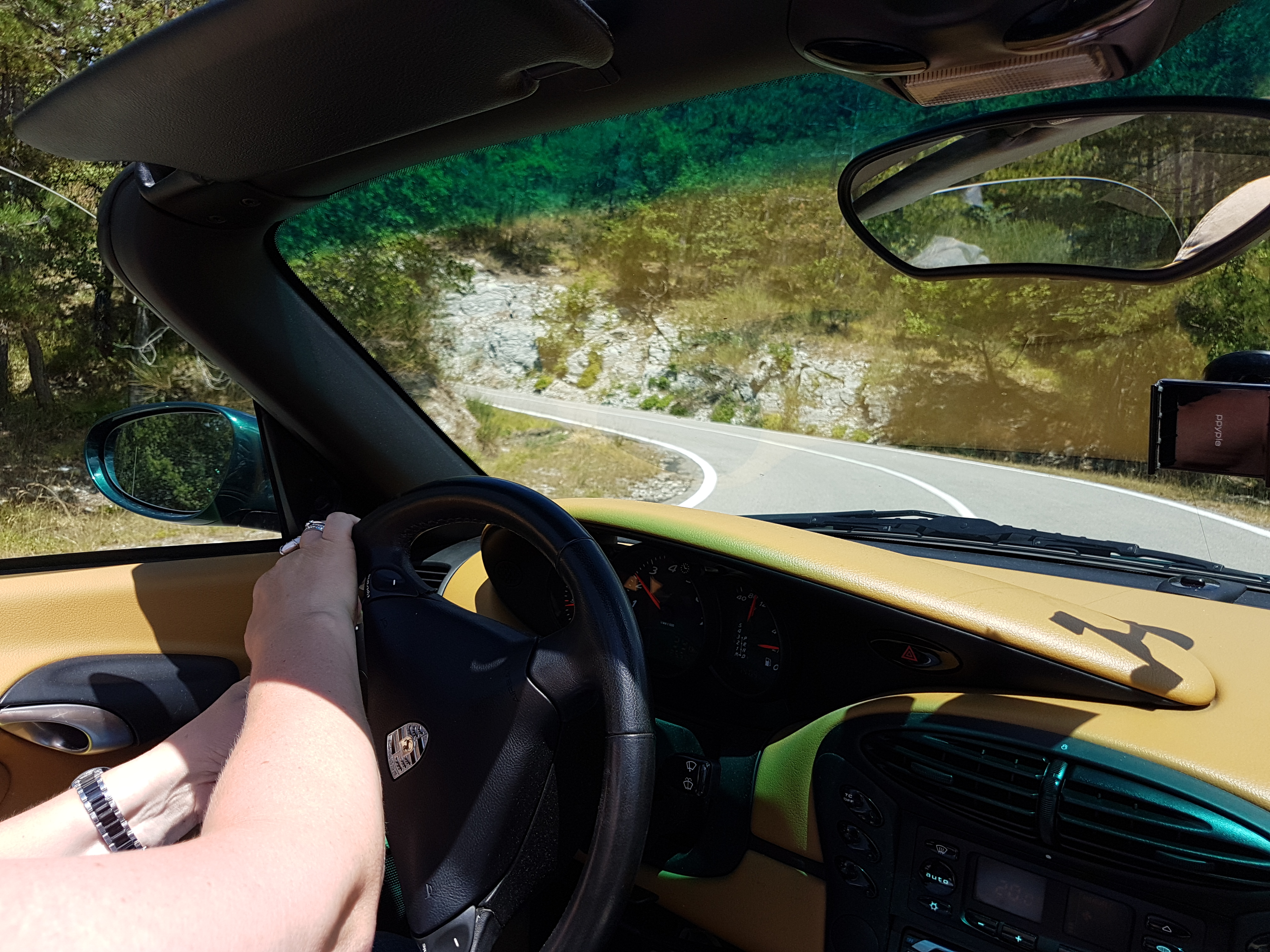
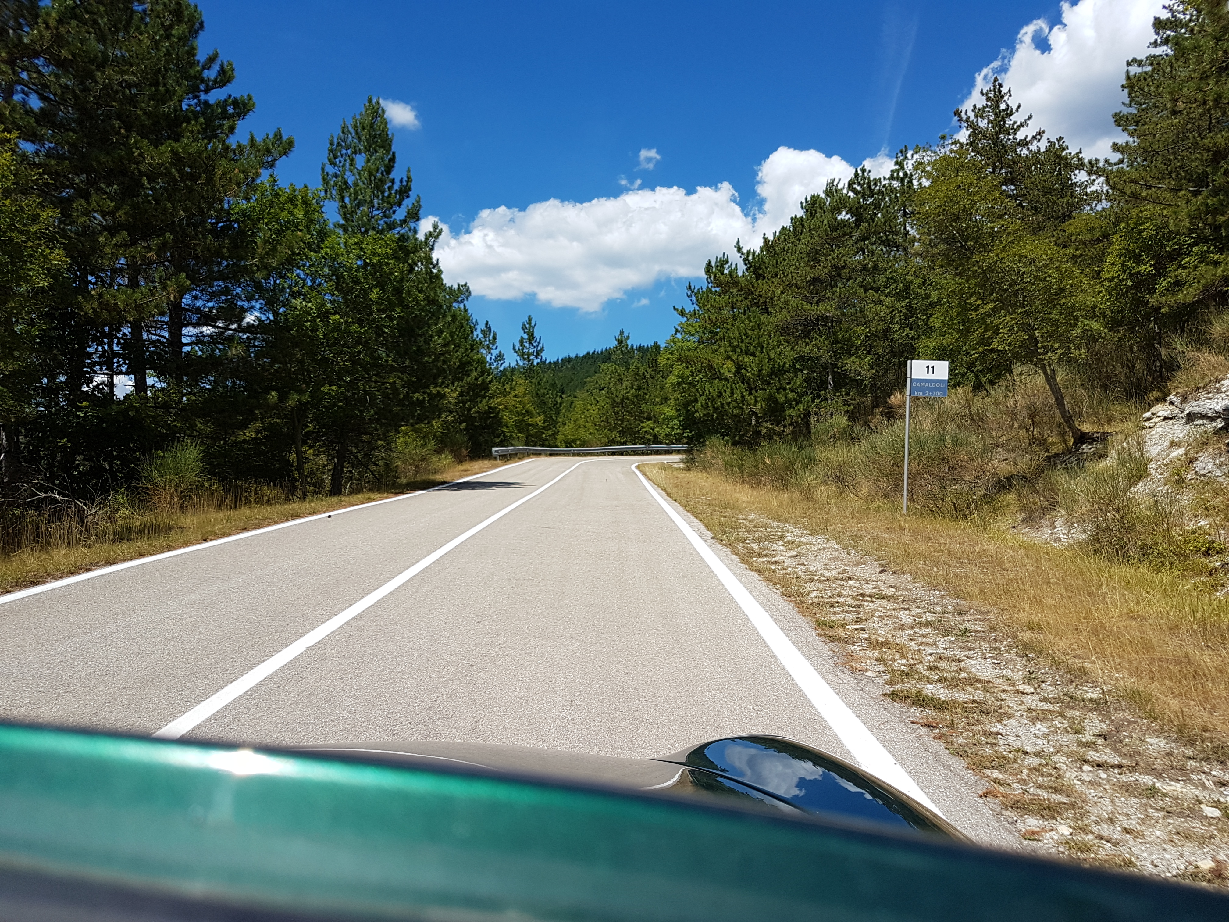
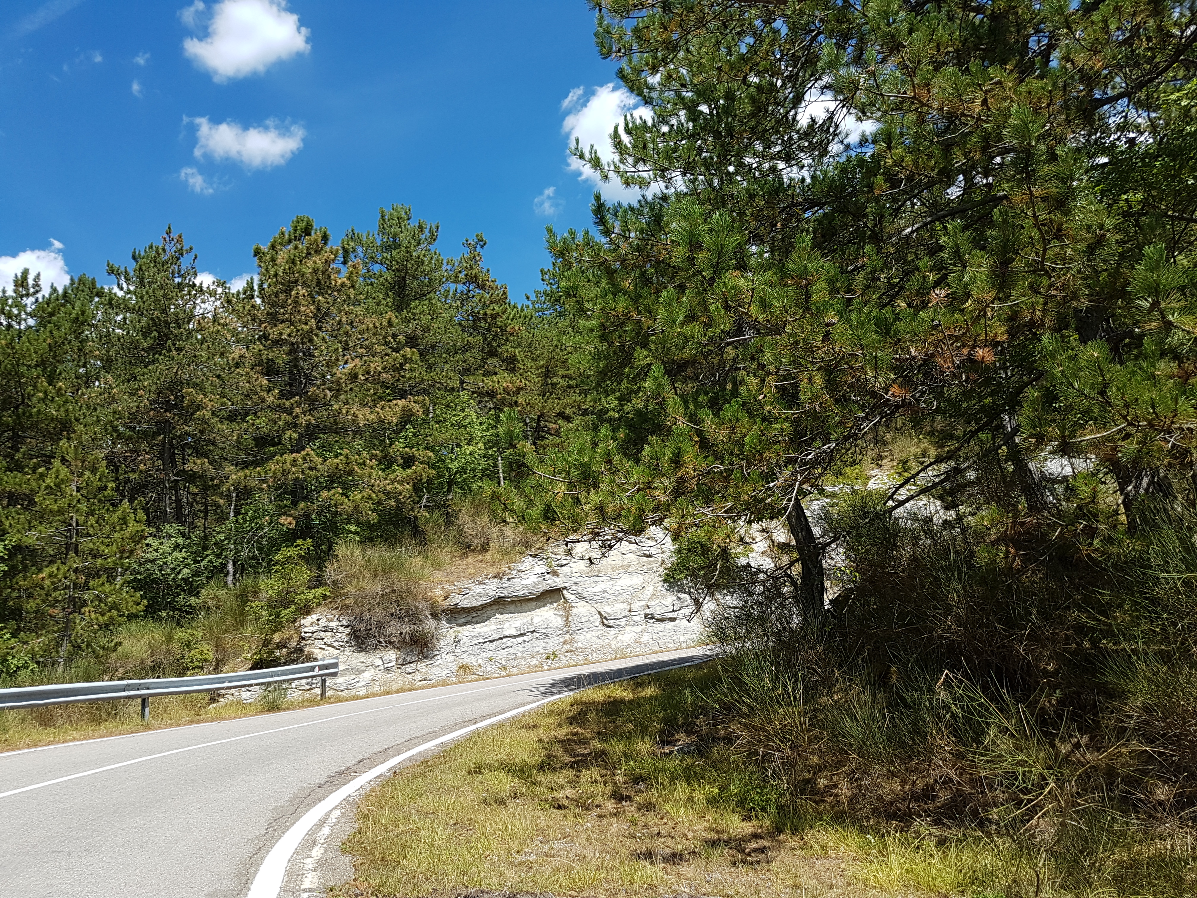
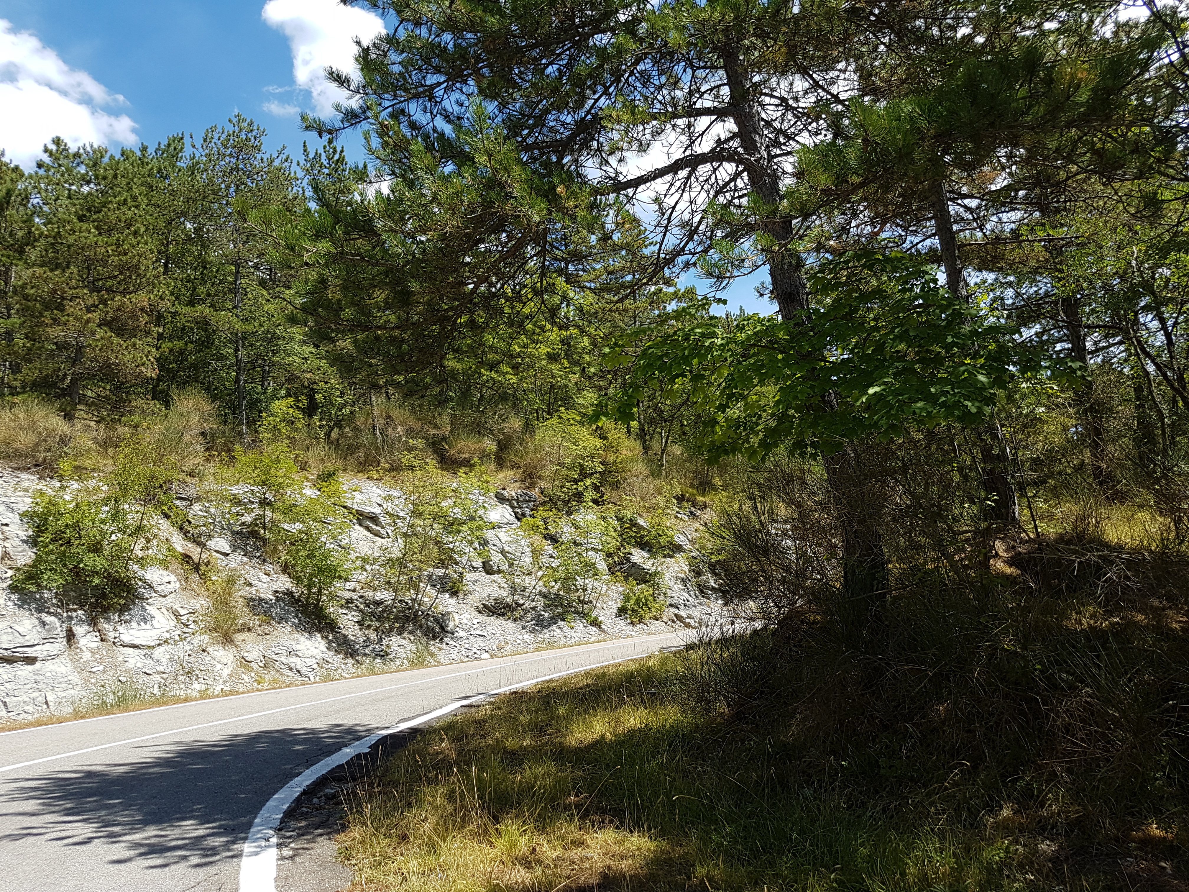
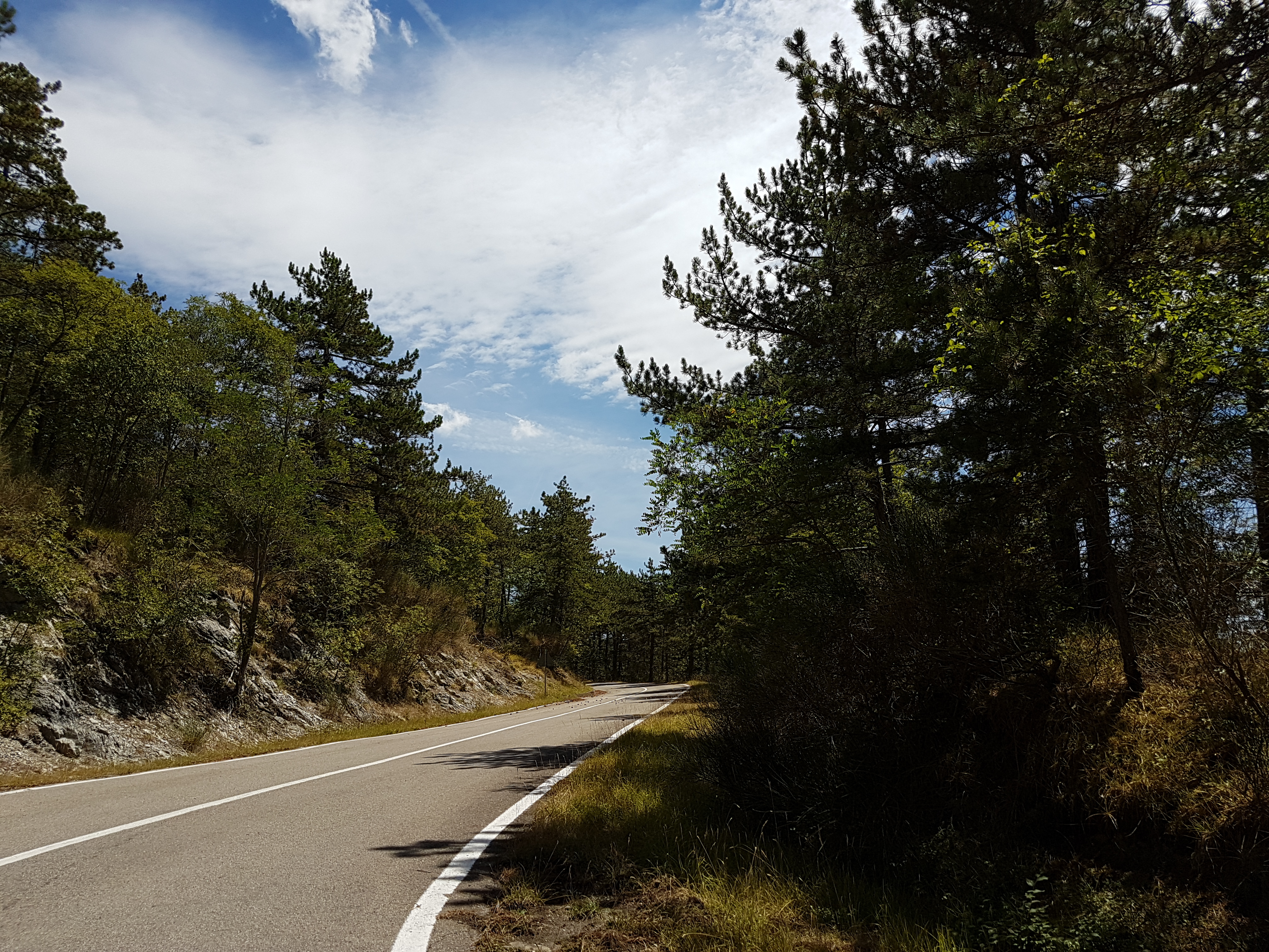
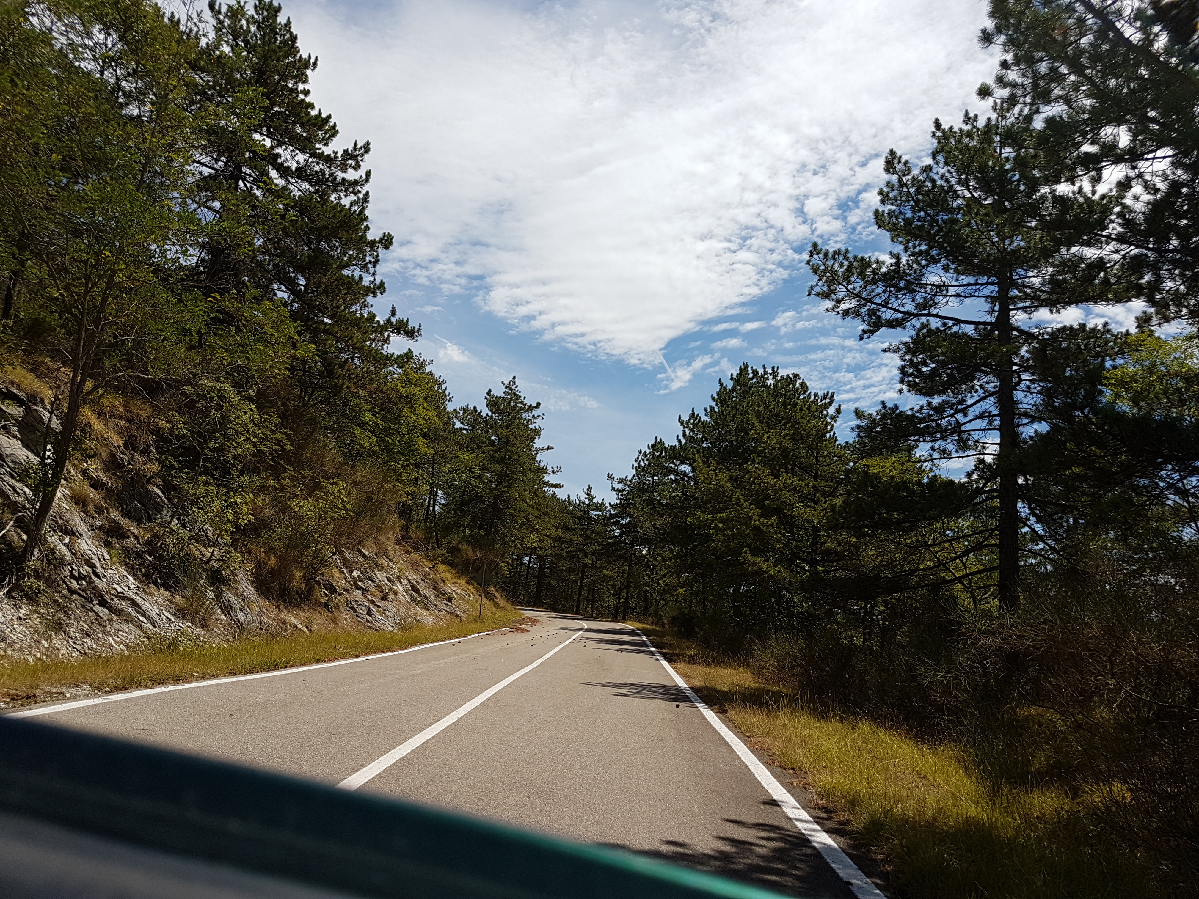
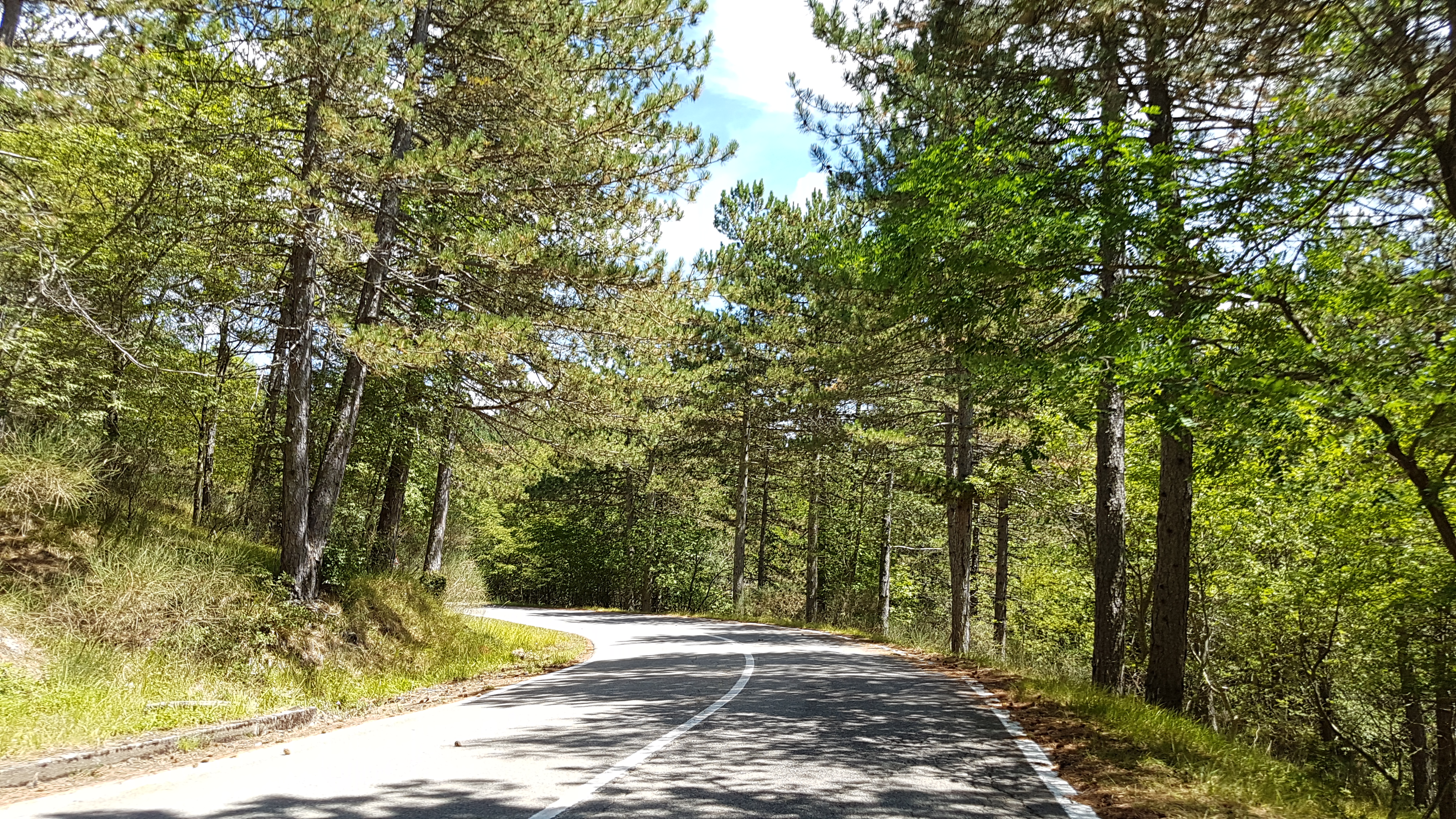
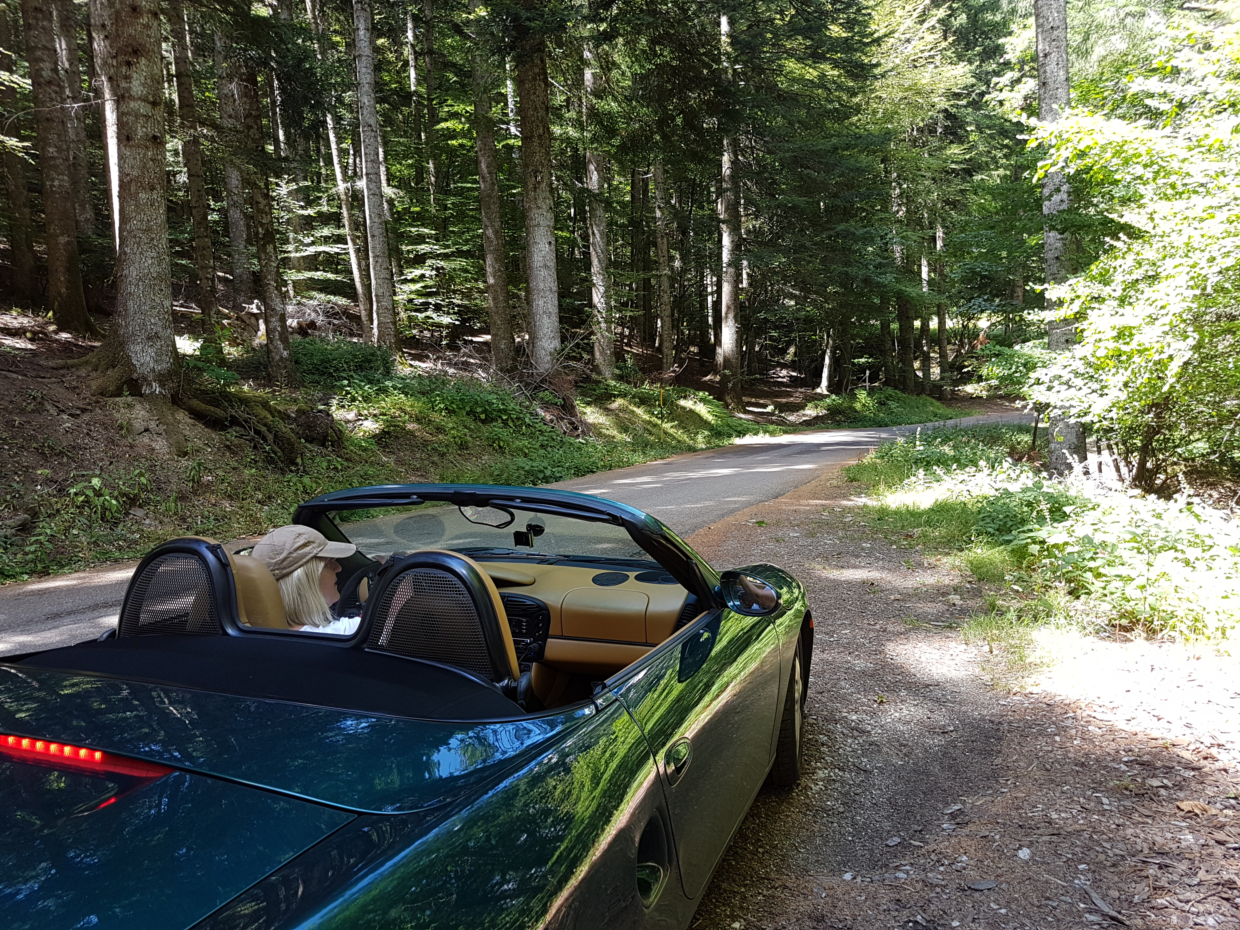
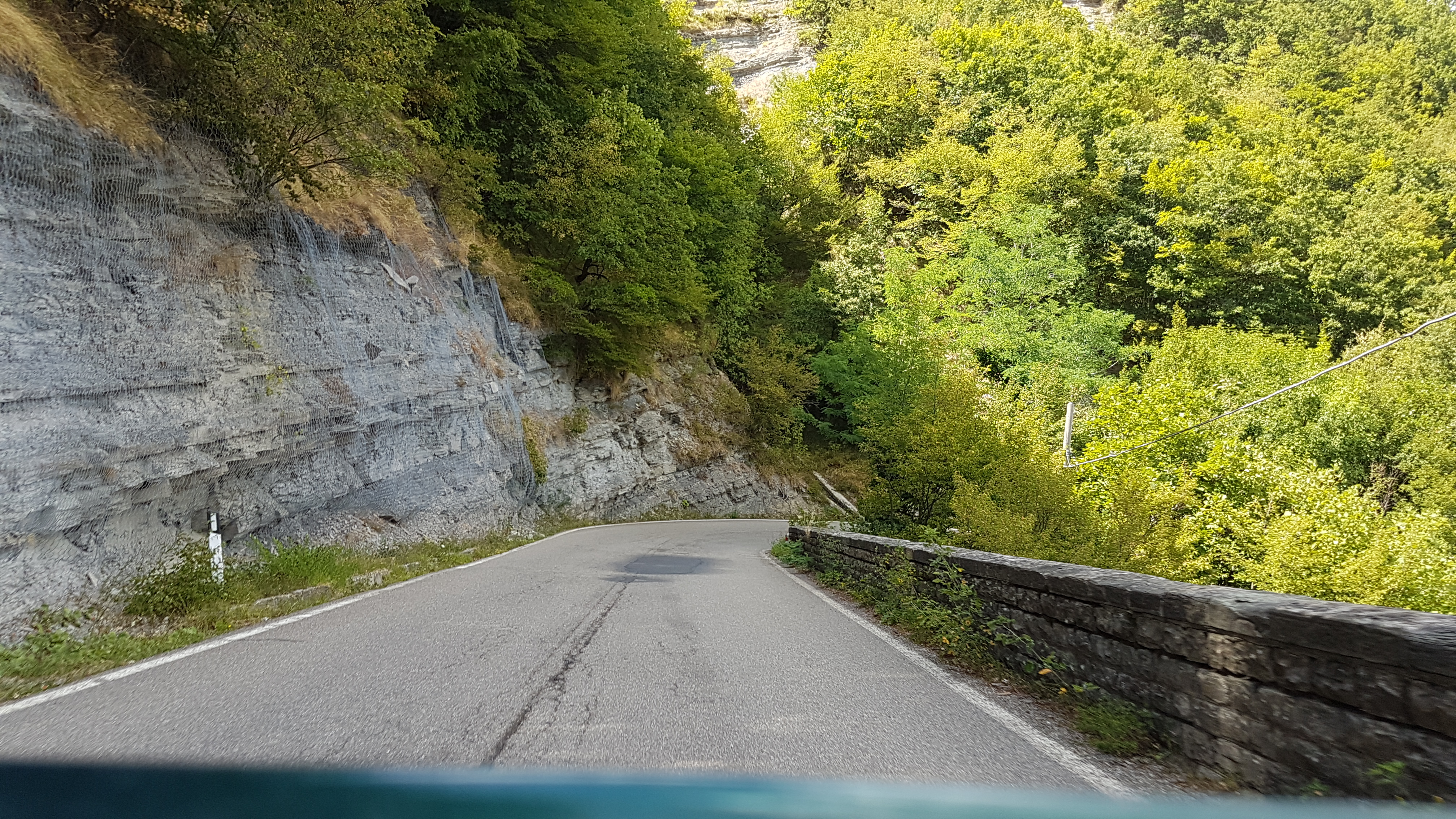
Map of the route “Introductionary ride/drive scenic roads nearby …”: 184.06 km, 3,309 m of climbing and 3,334 m of descent, elevation between 292 m and 1,263 m, time 07:12:47. It is a loop that starts and ends at 43.65121, 11.95727 (latitude, longitude).
Total distance: 184.3 km
Total climbing: 3309 m
Total descent: 3334 m
Average speed: 59.75 km/h
Download file: 20170727.gpx
Total climbing: 3309 m
Total descent: 3334 m
Average speed: 59.75 km/h
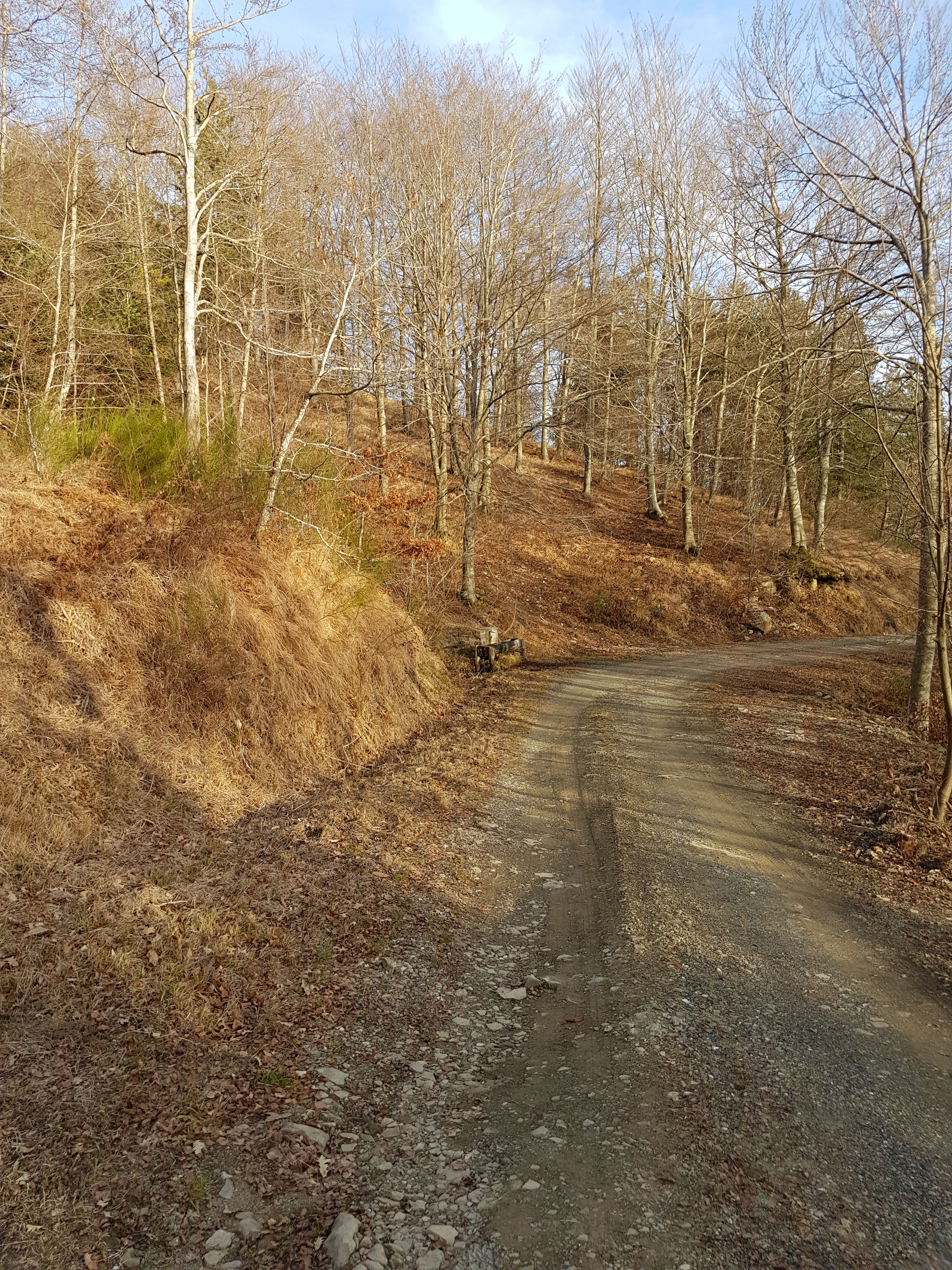
If You follow gpx track completly, there is some unpaved section, which can be avoided if You stay on SP67 instead of turning to SP124.
Related Images:


 by