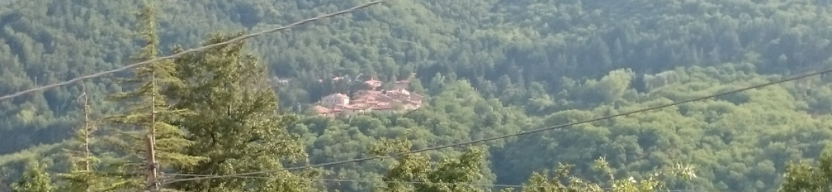
Christmas hike on Monte di Catenaia hike
Map of the route “25.12.2016 Monte di Catenaia hike”: 10.05 km, 68 m of climbing and 426 m of descent, elevation between 750 m and 1,174 m, time 02:34:27. It starts at 43.64688, 11.92764 and ends at 43.65015, 11.95592 (latitude, longitude).
Total distance: 10.15 km
Total climbing: 68 m
Total descent: 426 m
Average speed: 4.65 km/h
Download file: 2016-12-25.gpx
Total climbing: 68 m
Total descent: 426 m
Average speed: 4.65 km/h
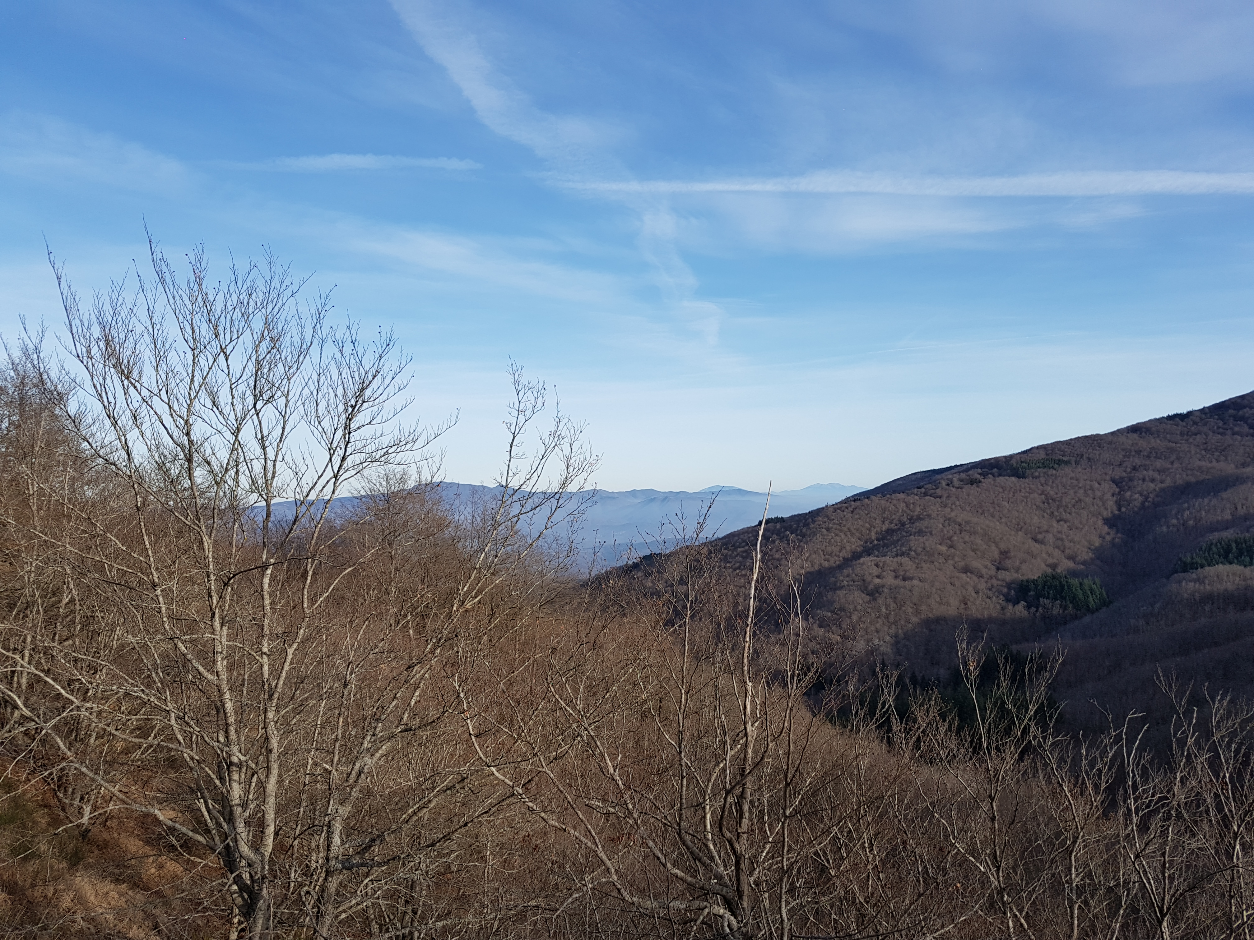
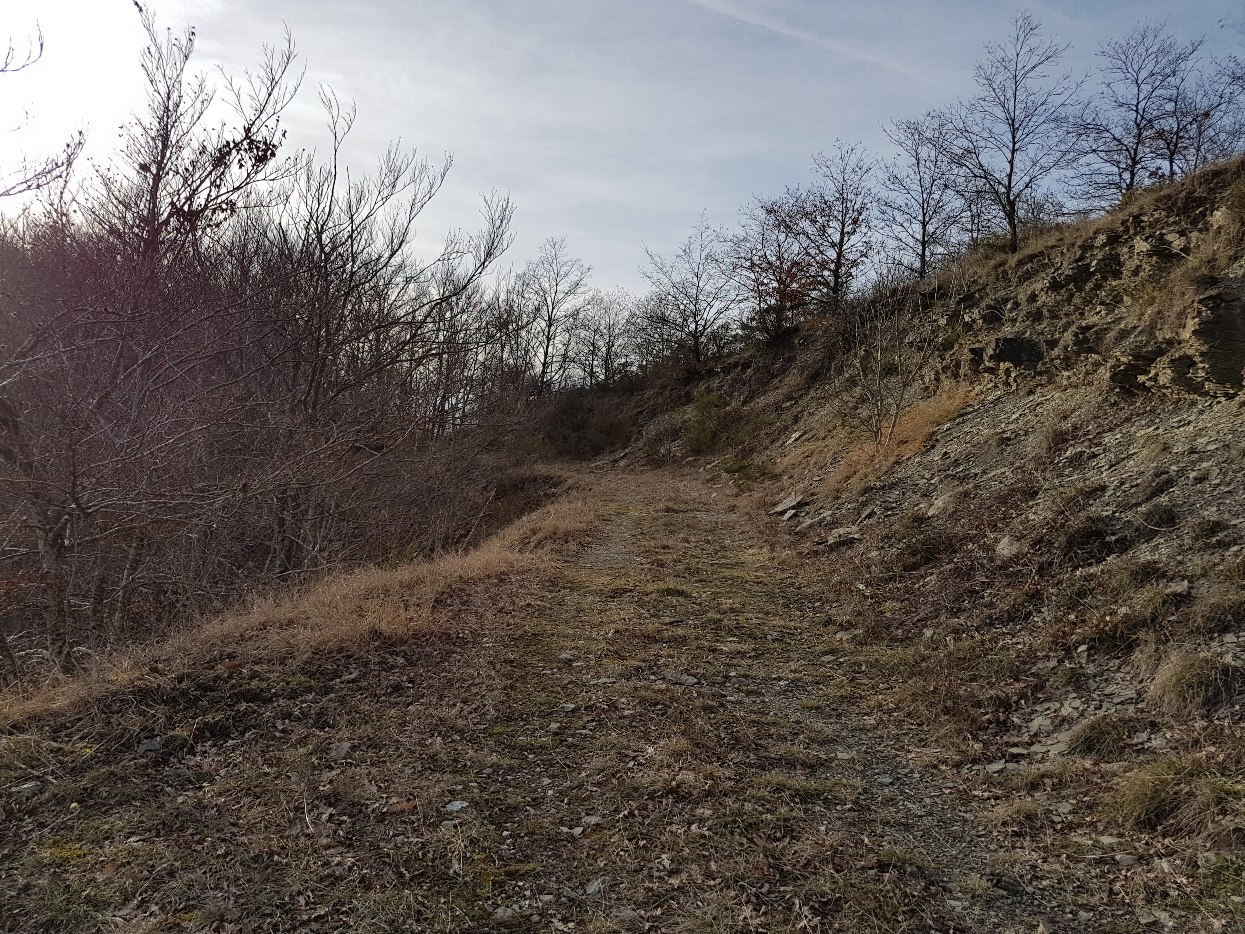
Related Images:


 by
