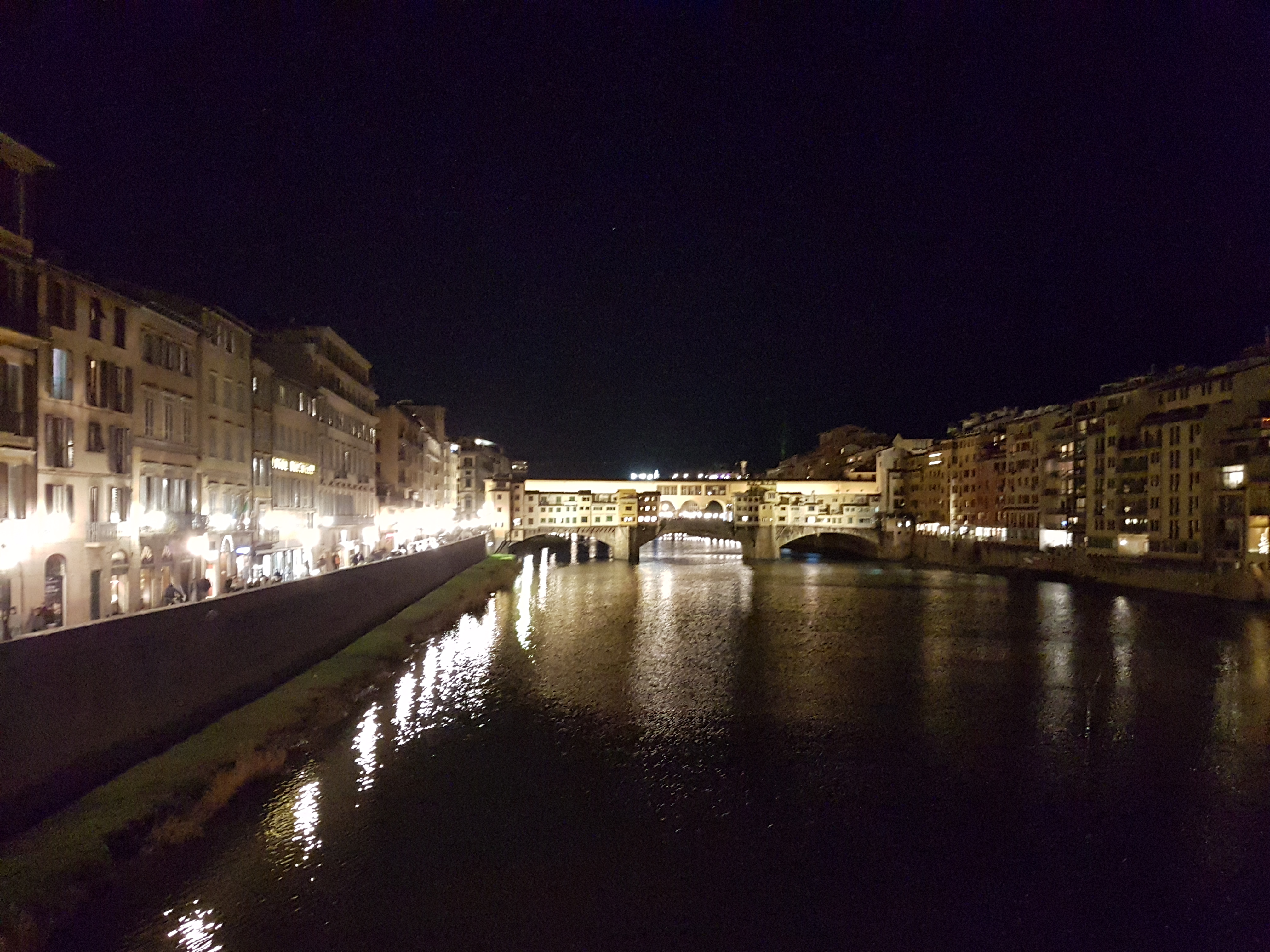
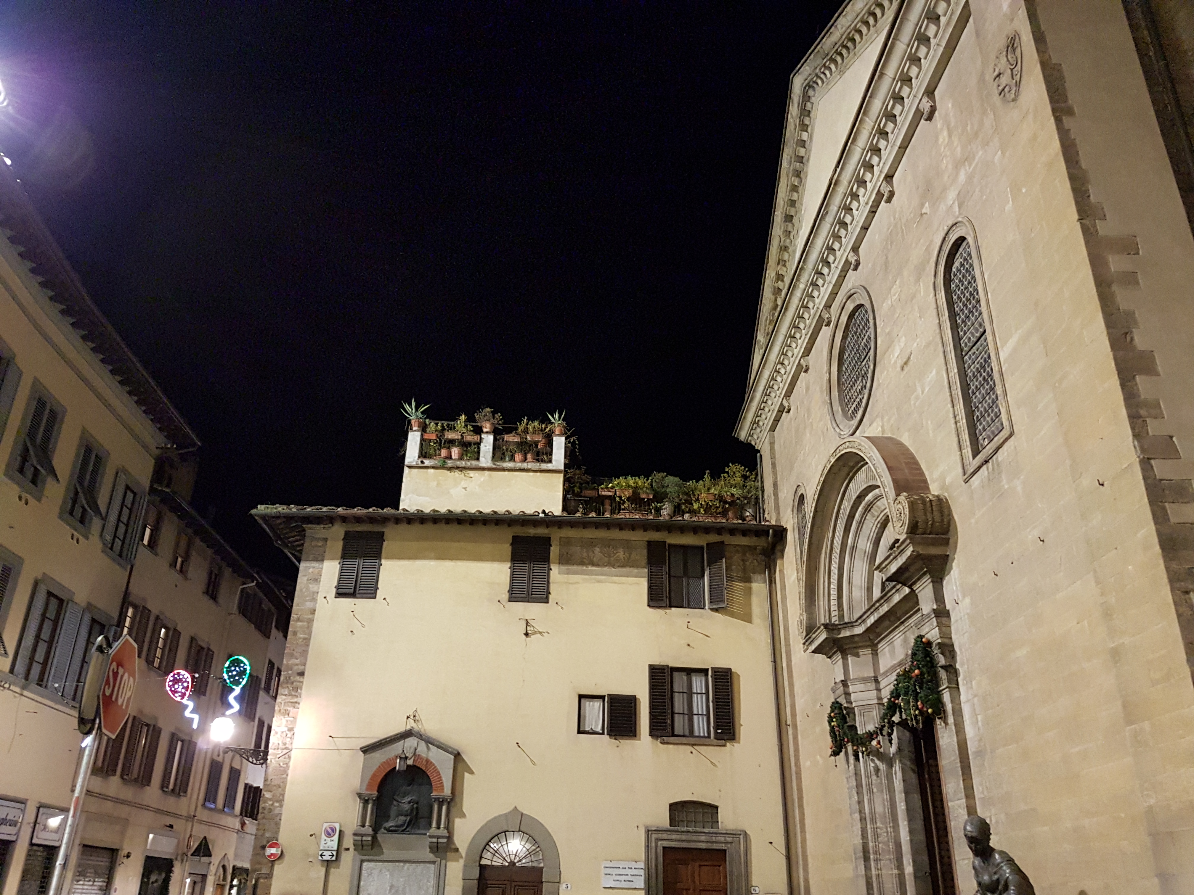
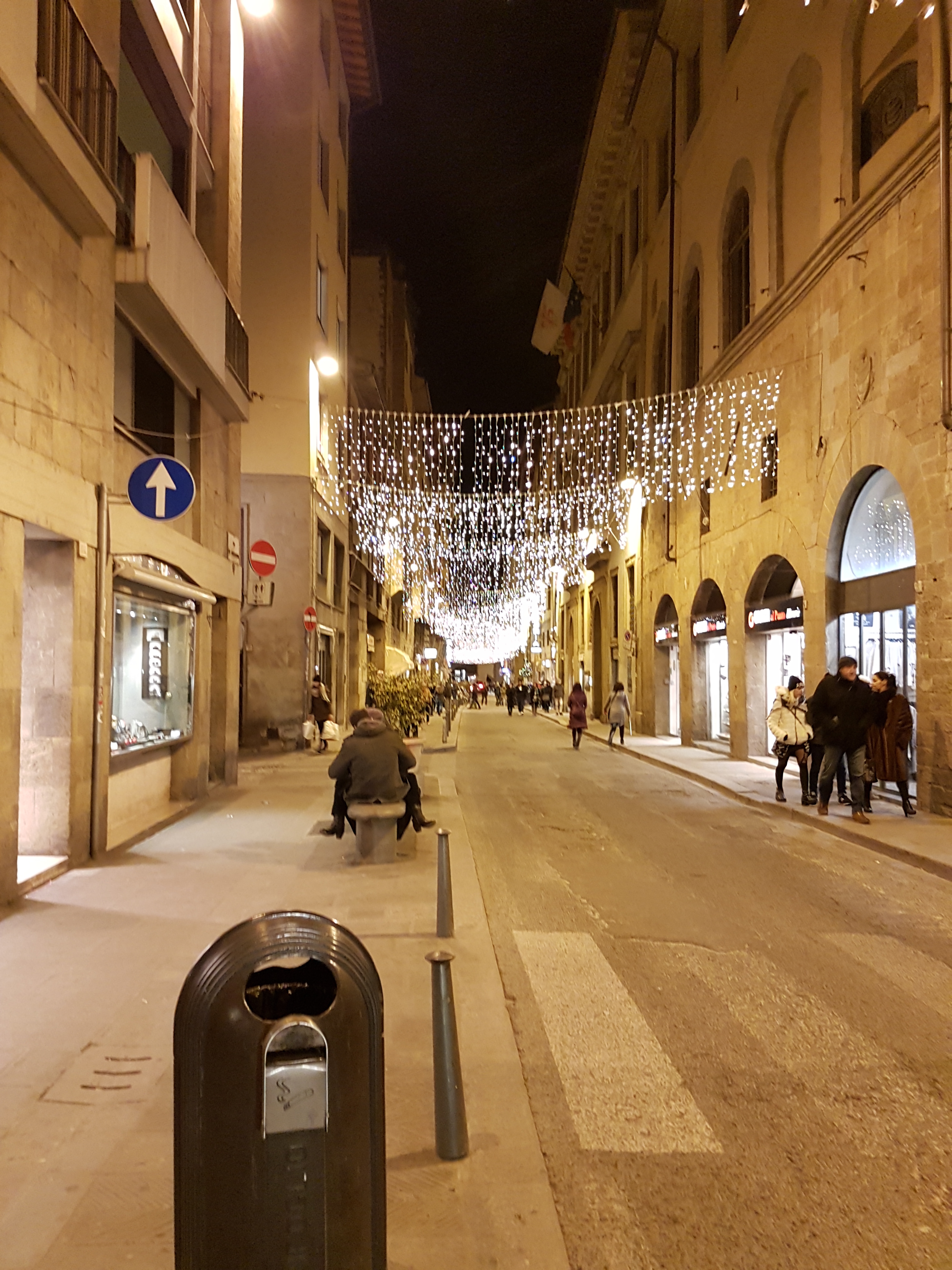
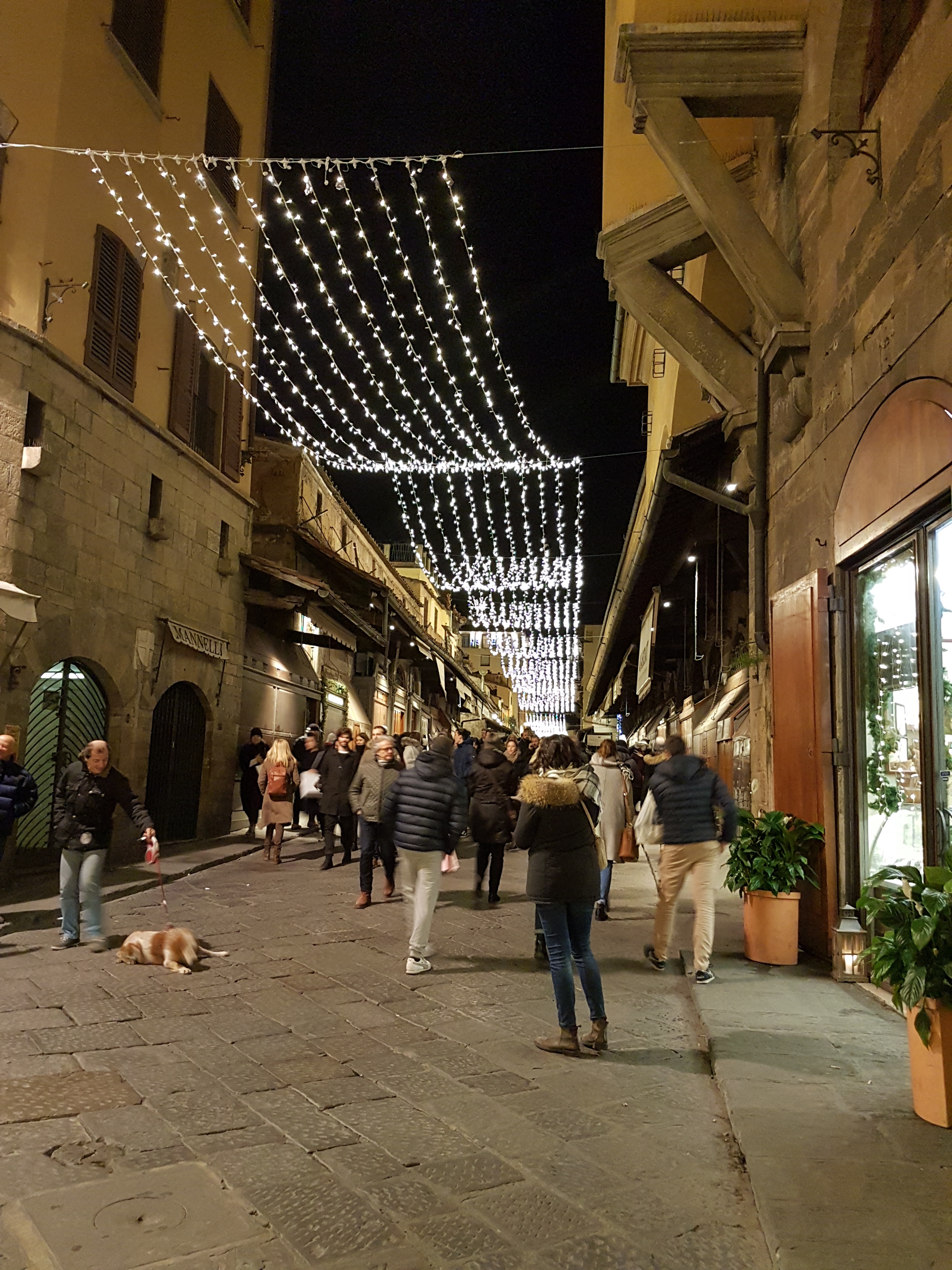
Map of the route “30.12.2016 Evening walk in Florence”: 9.51 km, 125 m of climbing and 122 m of descent, elevation between 24 m and 64 m, time 01:53:45. It starts at 43.78120, 11.25216 and ends at 43.77082, 11.26741 (latitude, longitude).
Total distance: 9.51 km
Total climbing: 125 m
Total descent: 122 m
Average speed: 13.11 km/h
Download file: 2016-12-30%201750__20161230_1750.gpx
Total climbing: 125 m
Total descent: 122 m
Average speed: 13.11 km/h
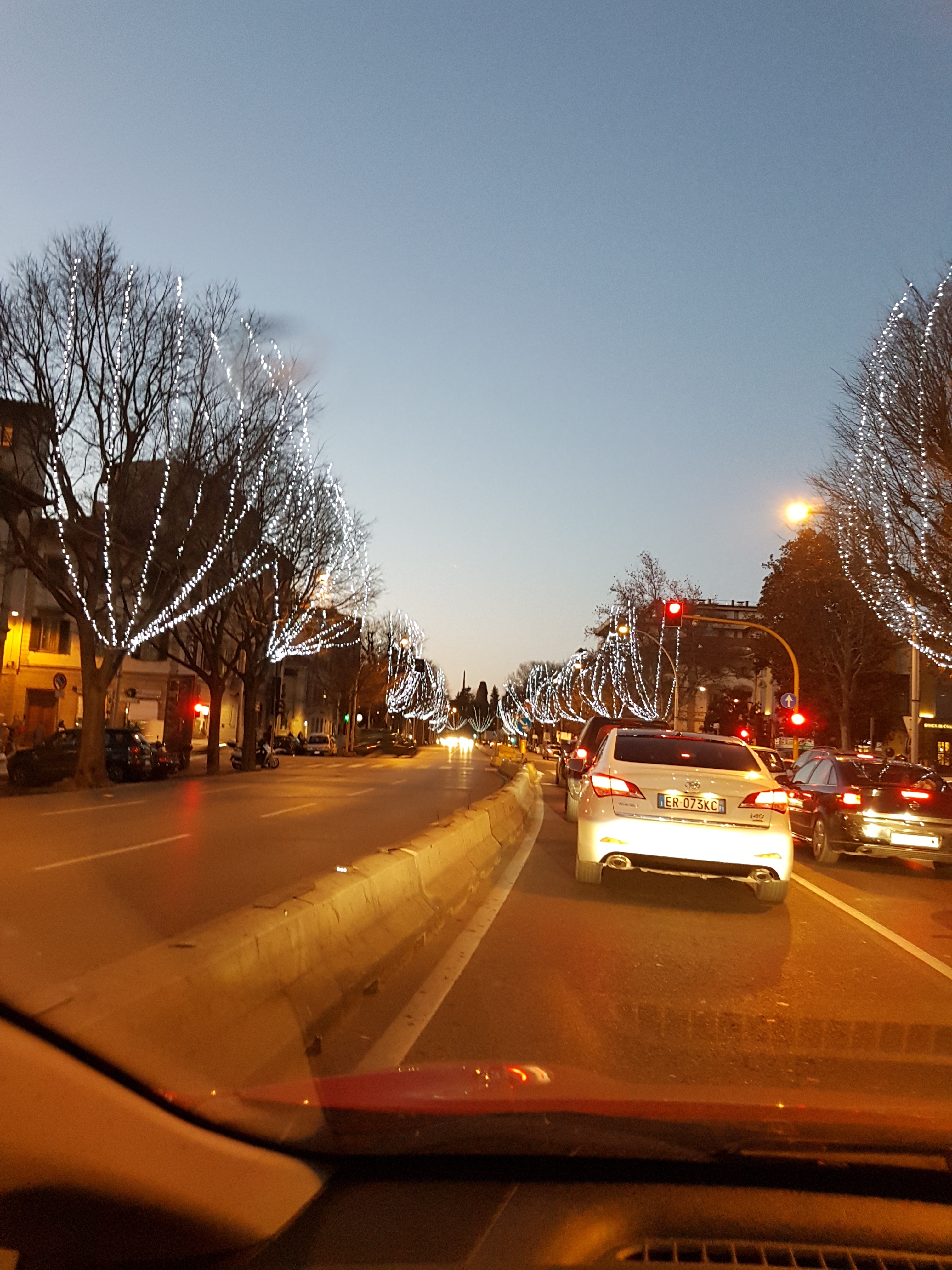
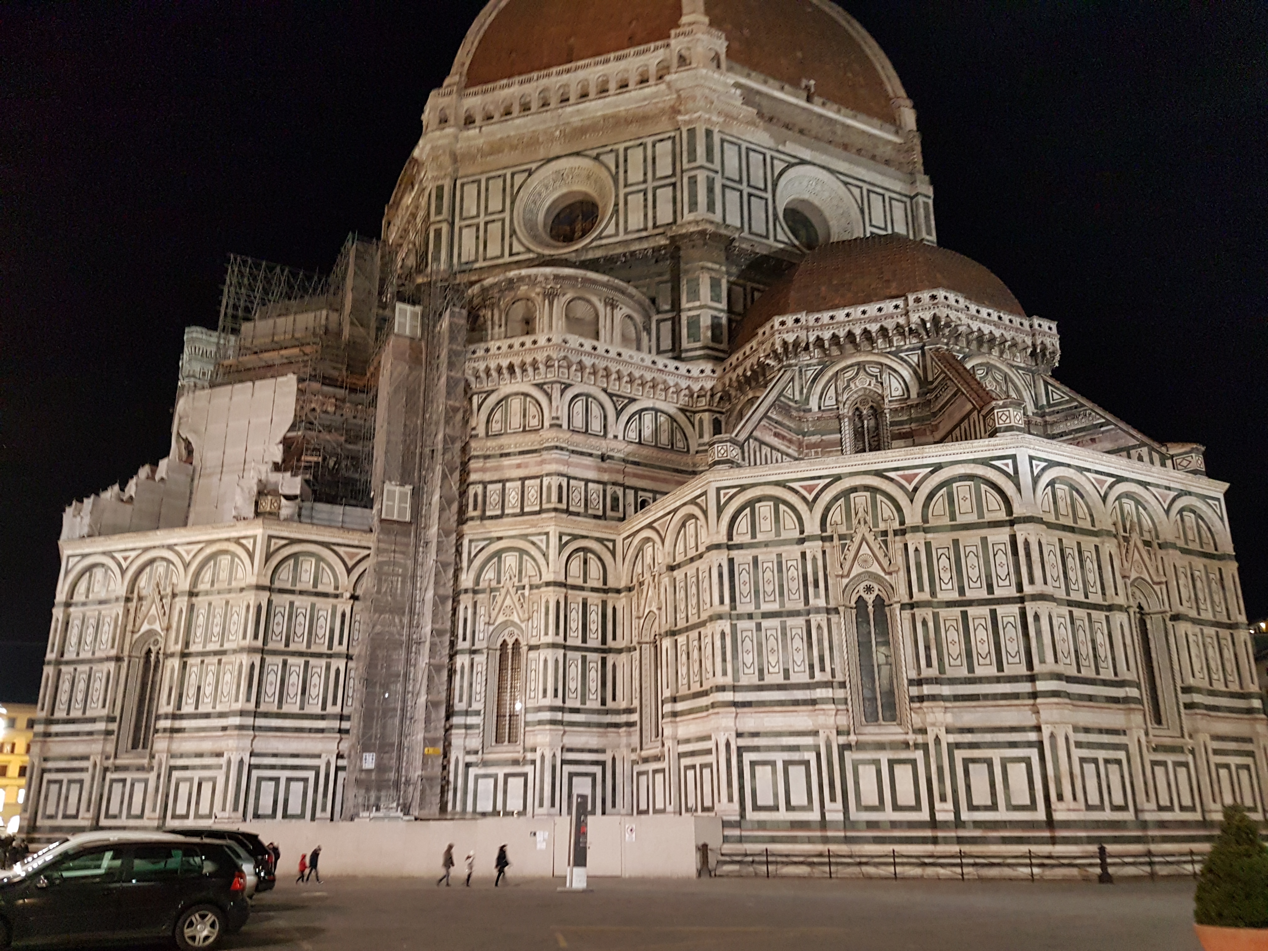
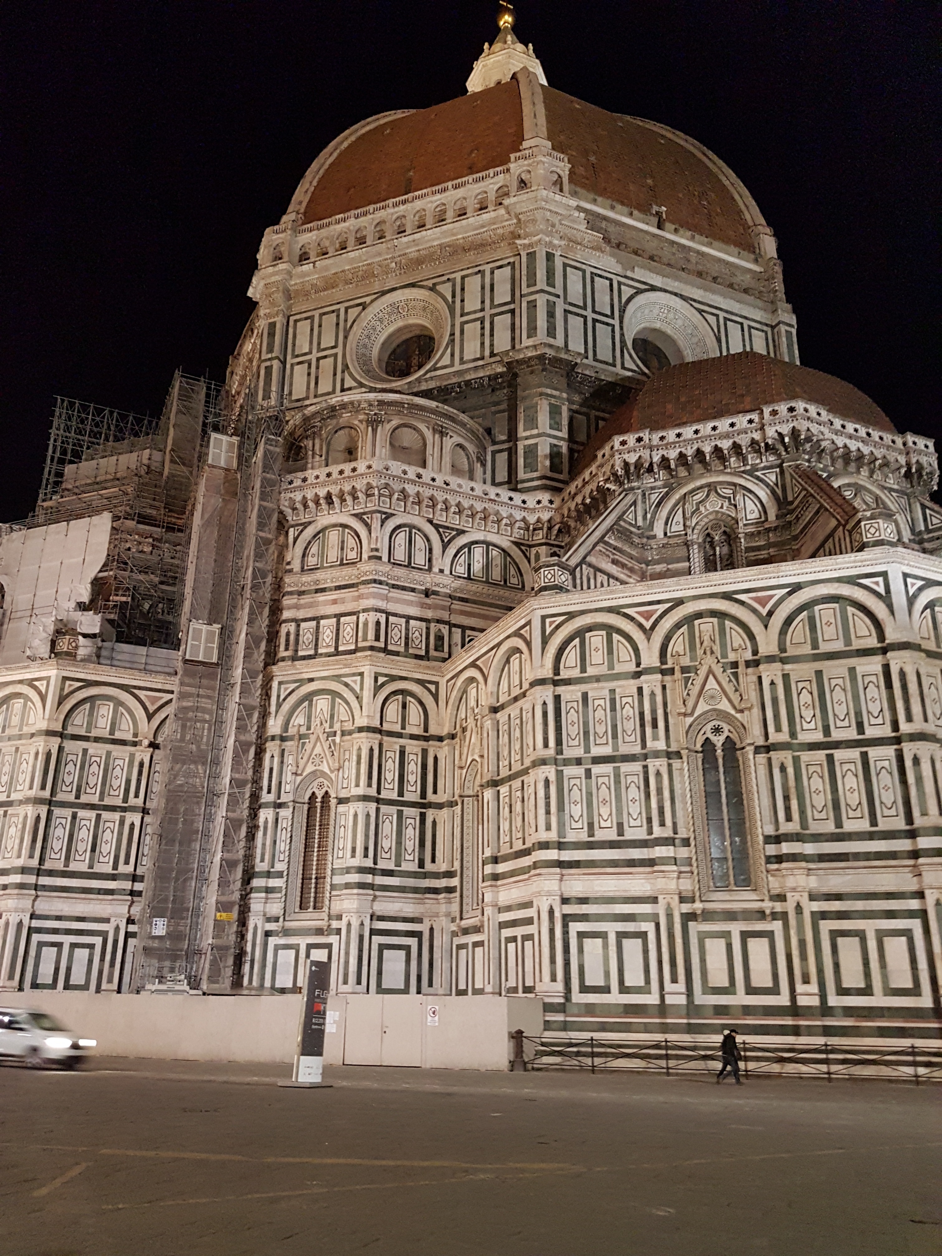
Related Images:




 by
