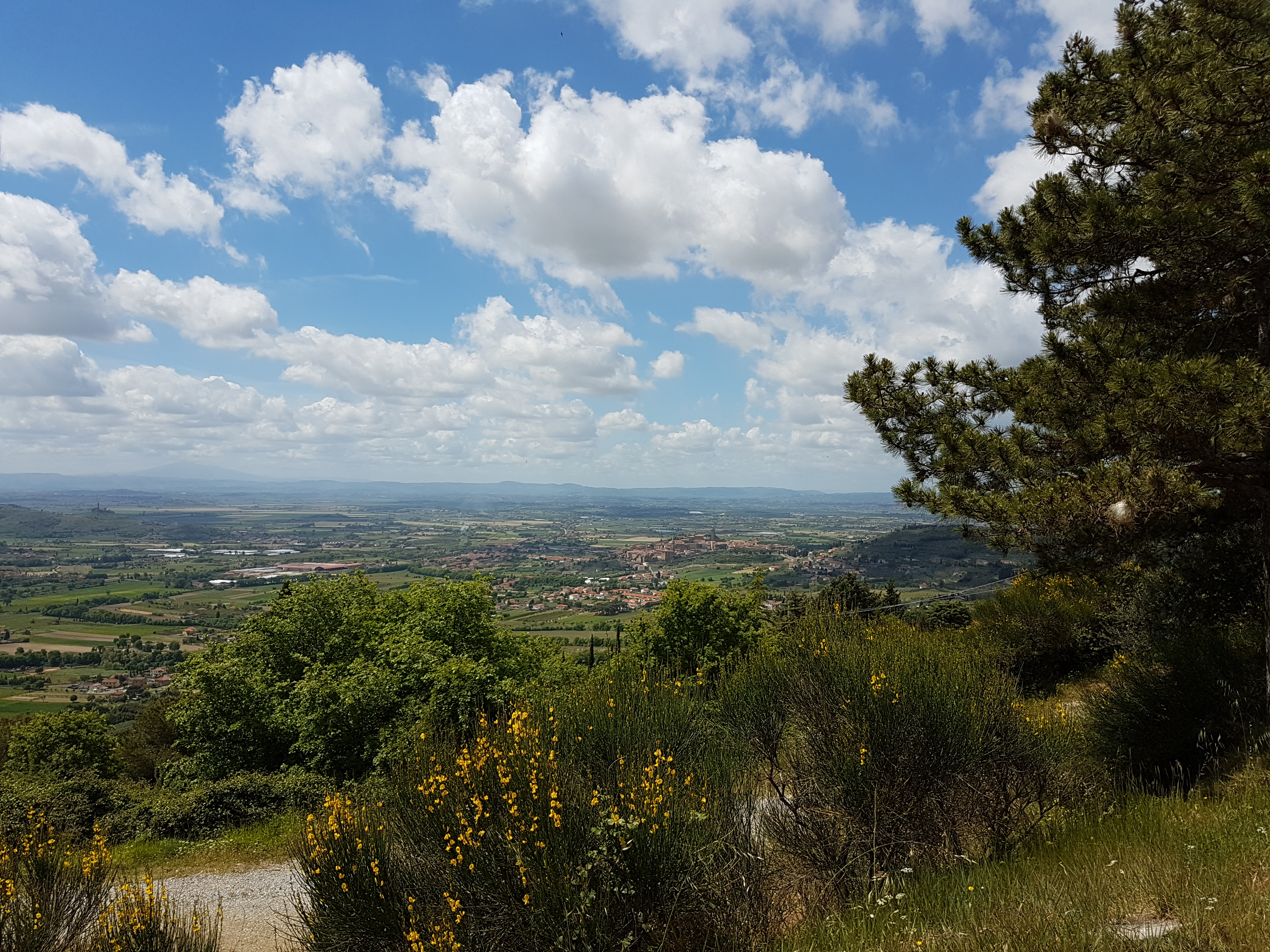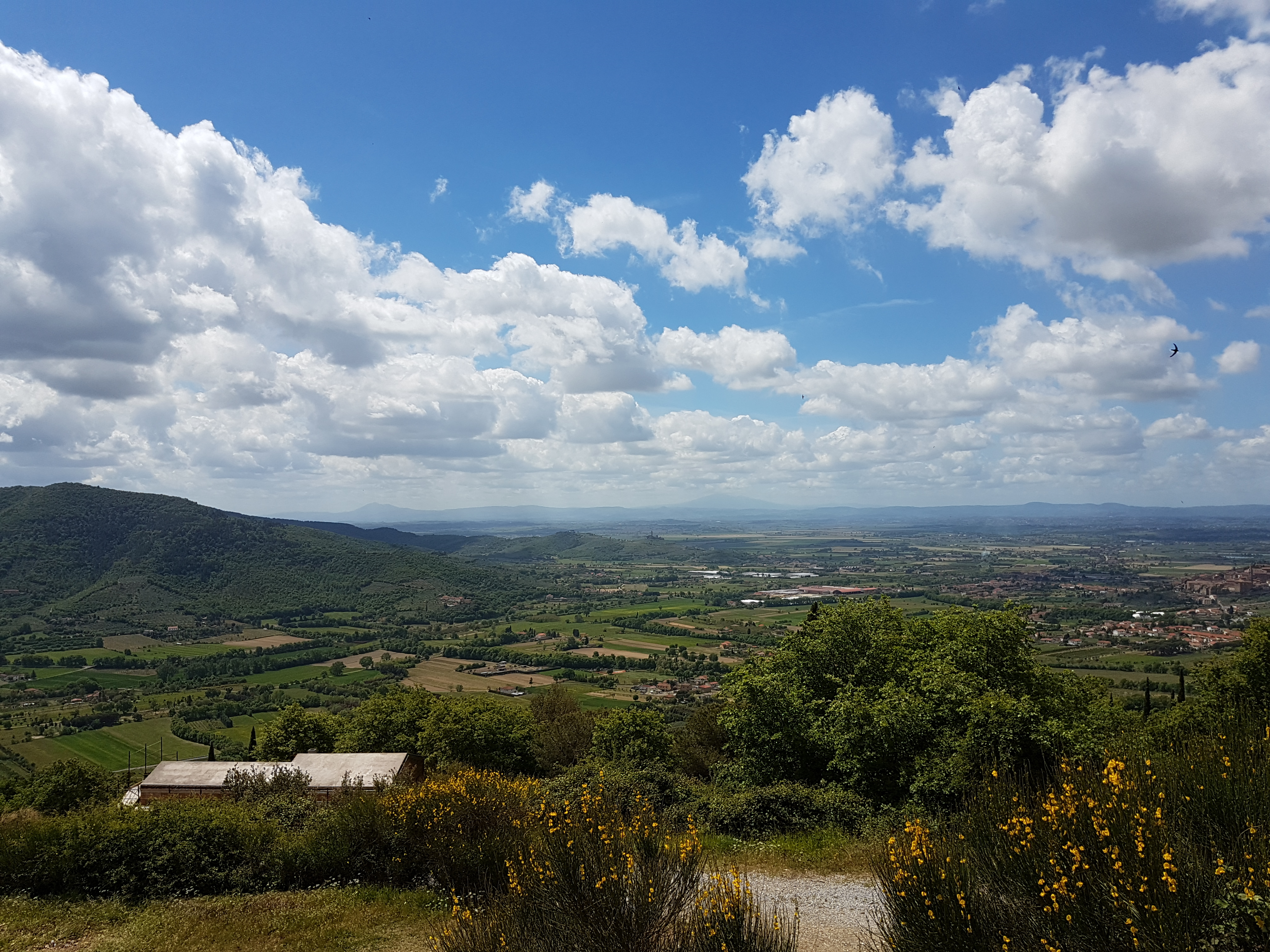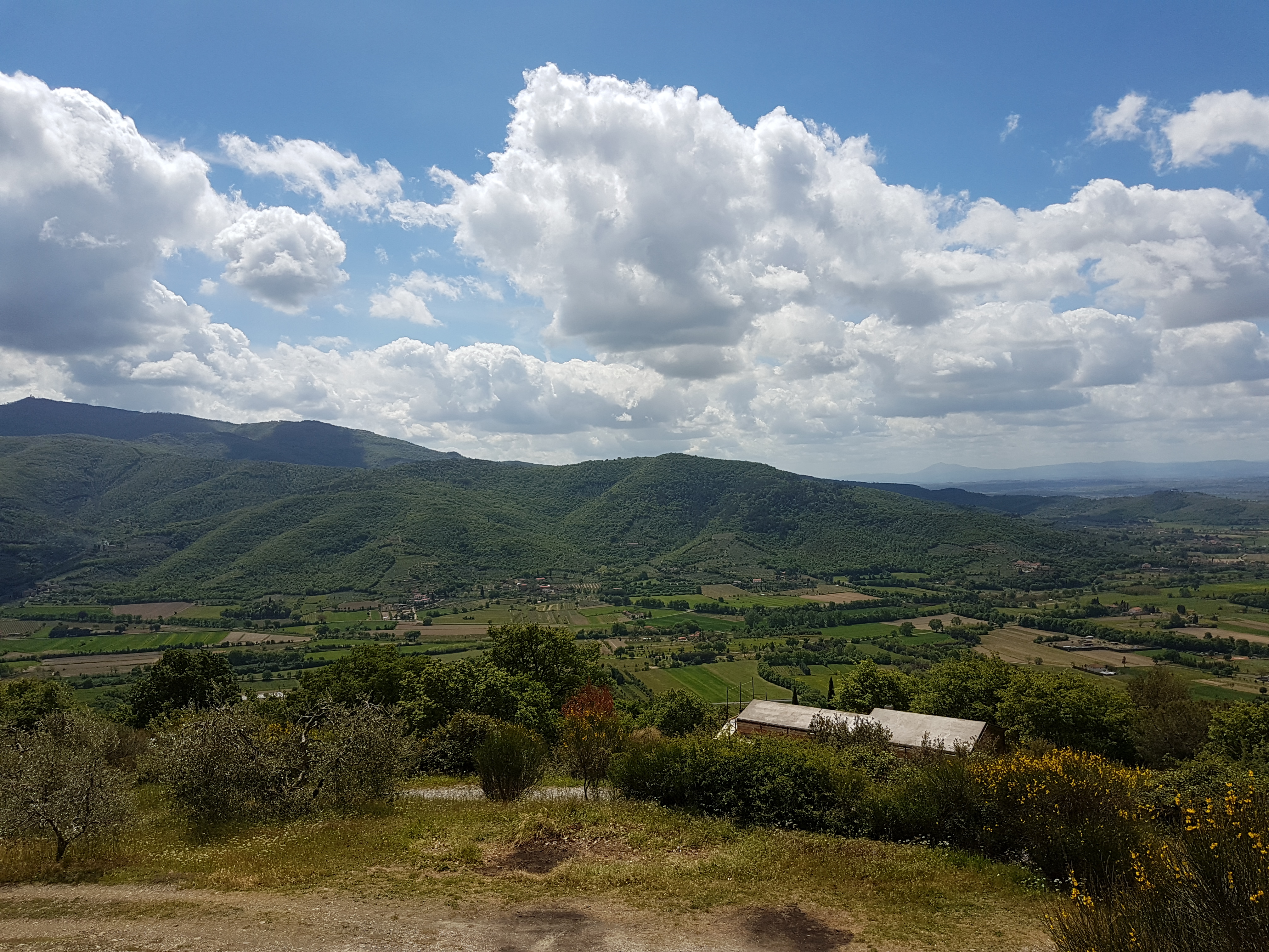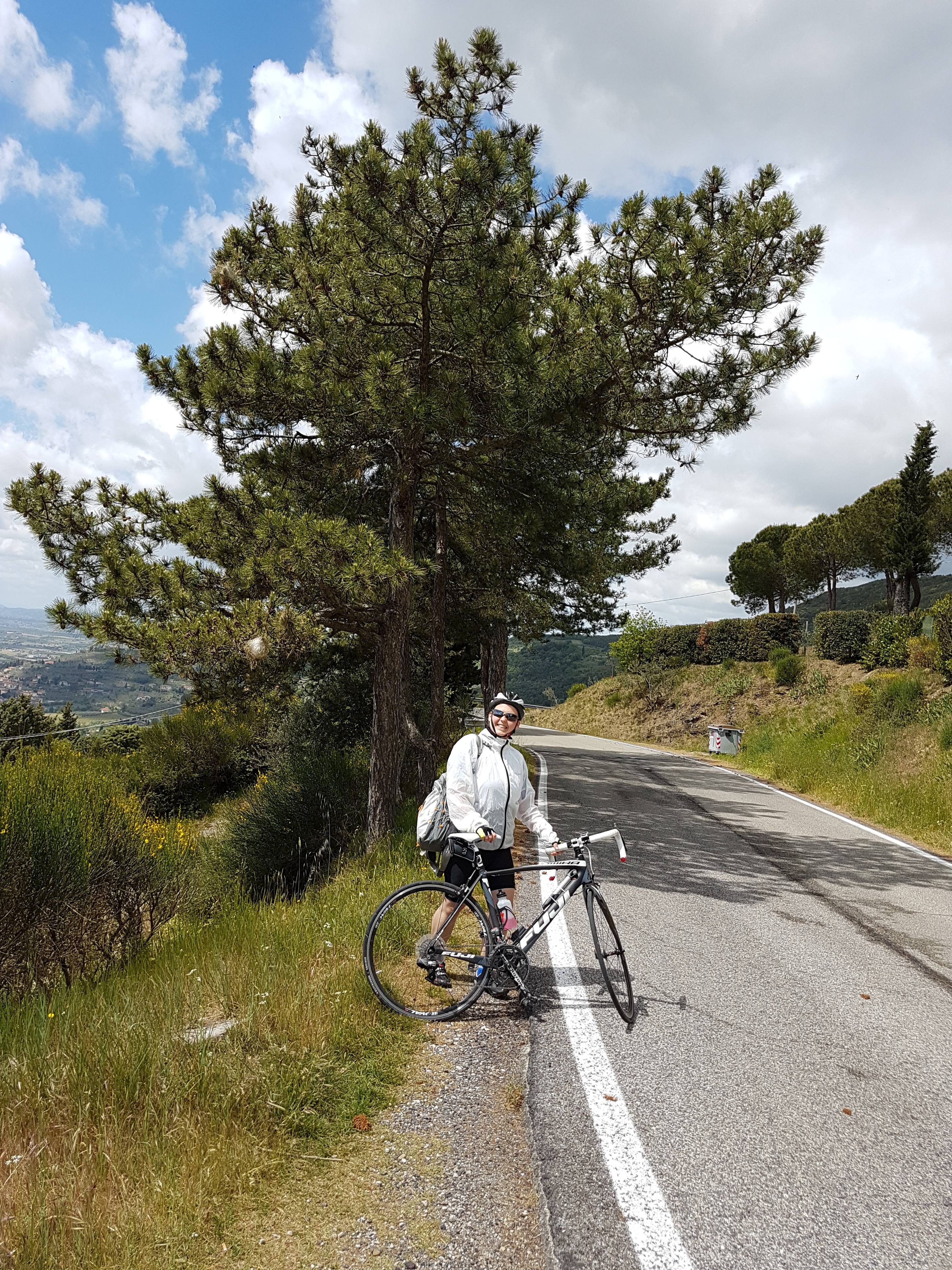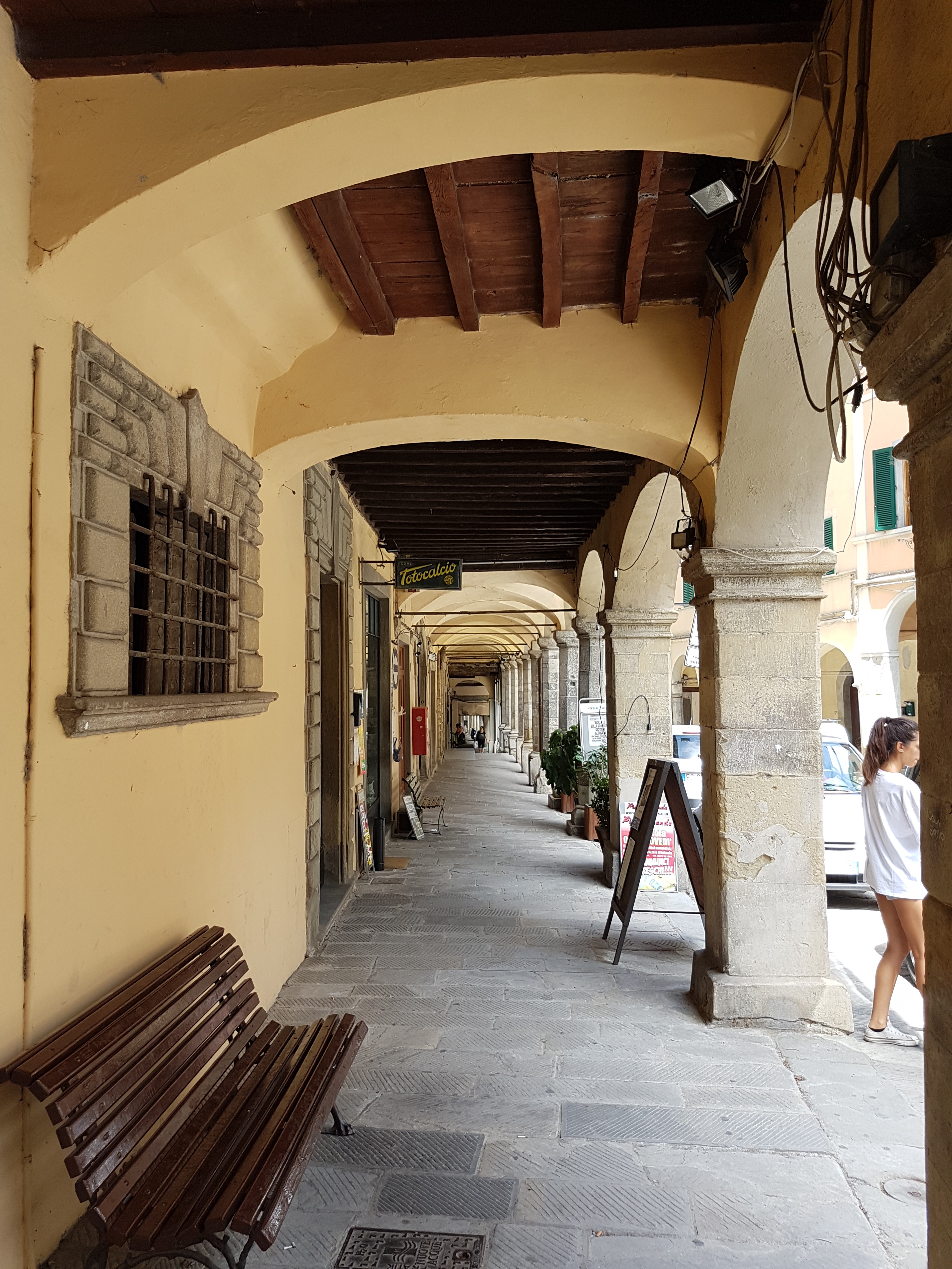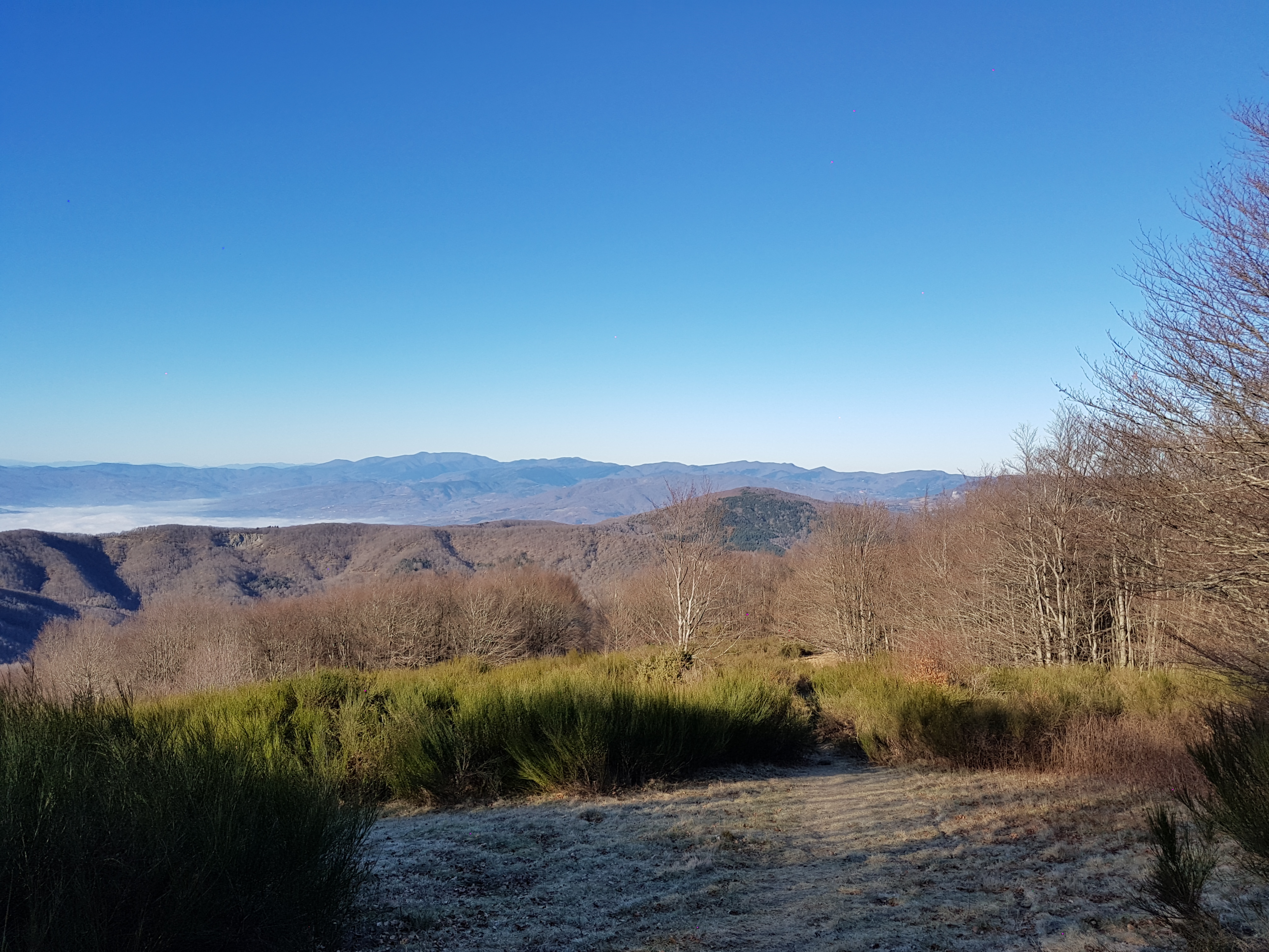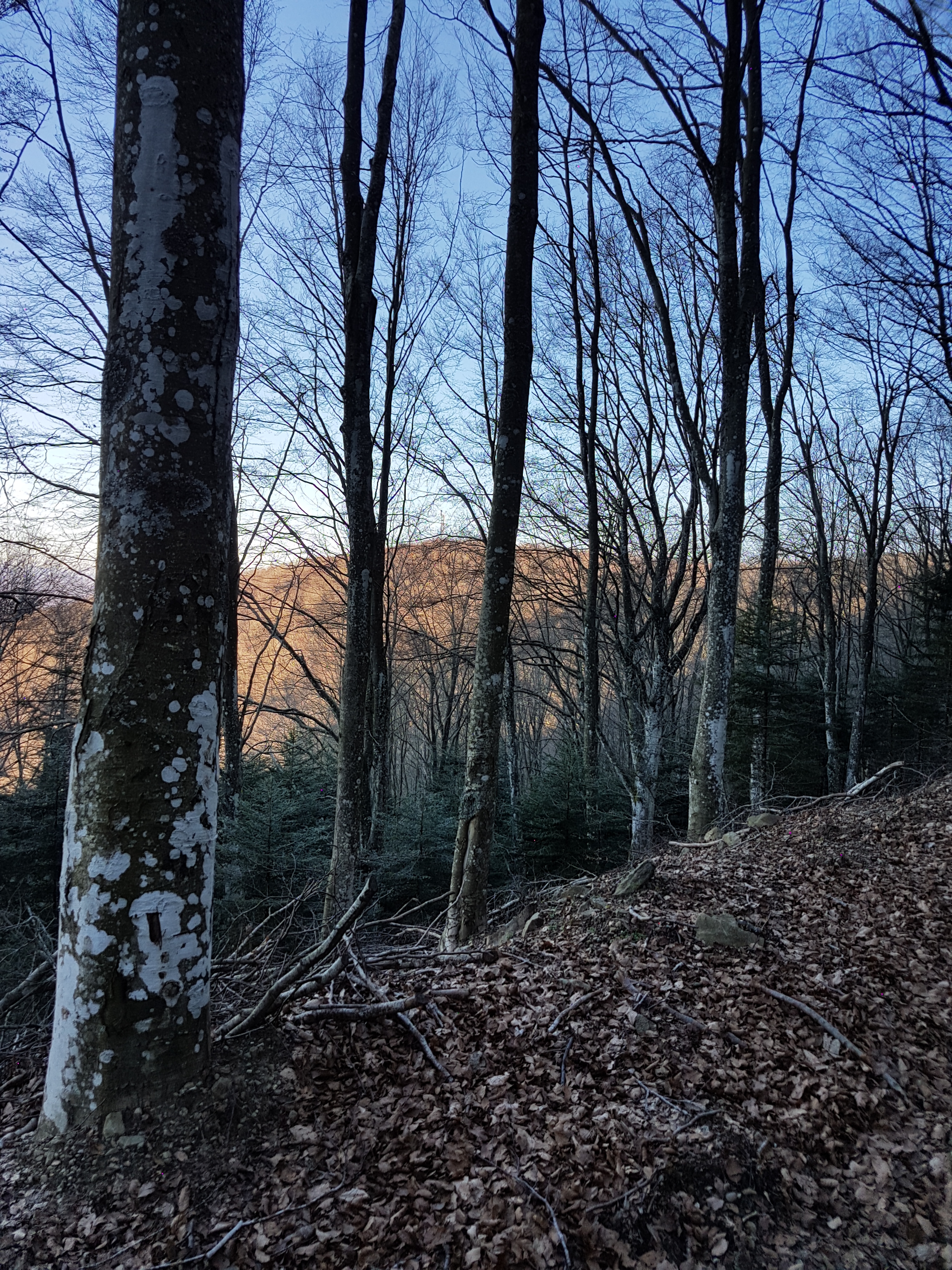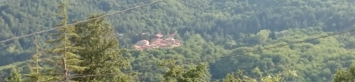
Castiglion Fiorentino s kolesom

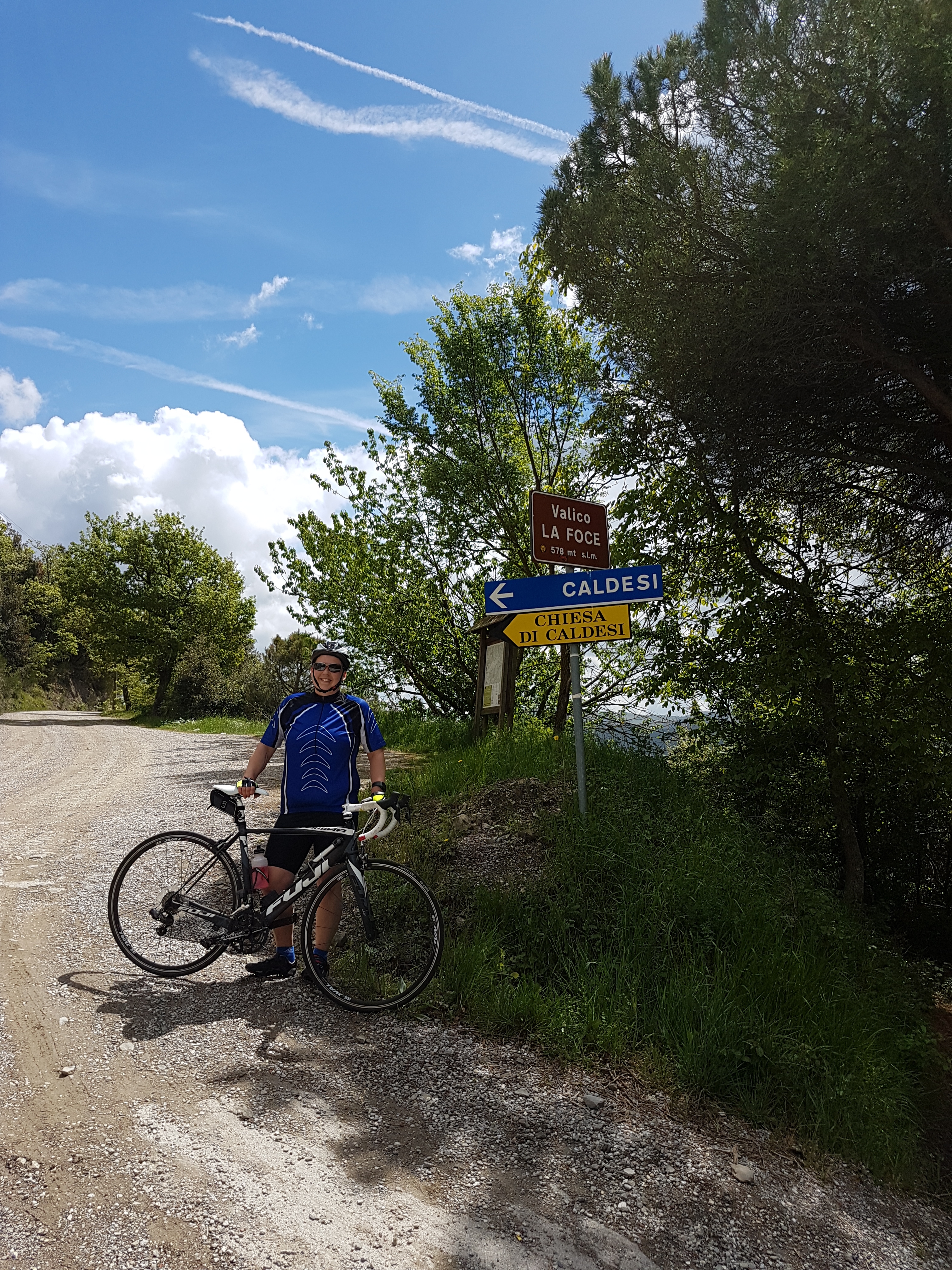
Ta pot je precej zahtevna. Ima dva vrha, prvi ni preveč strm, drugi pa kar precej.

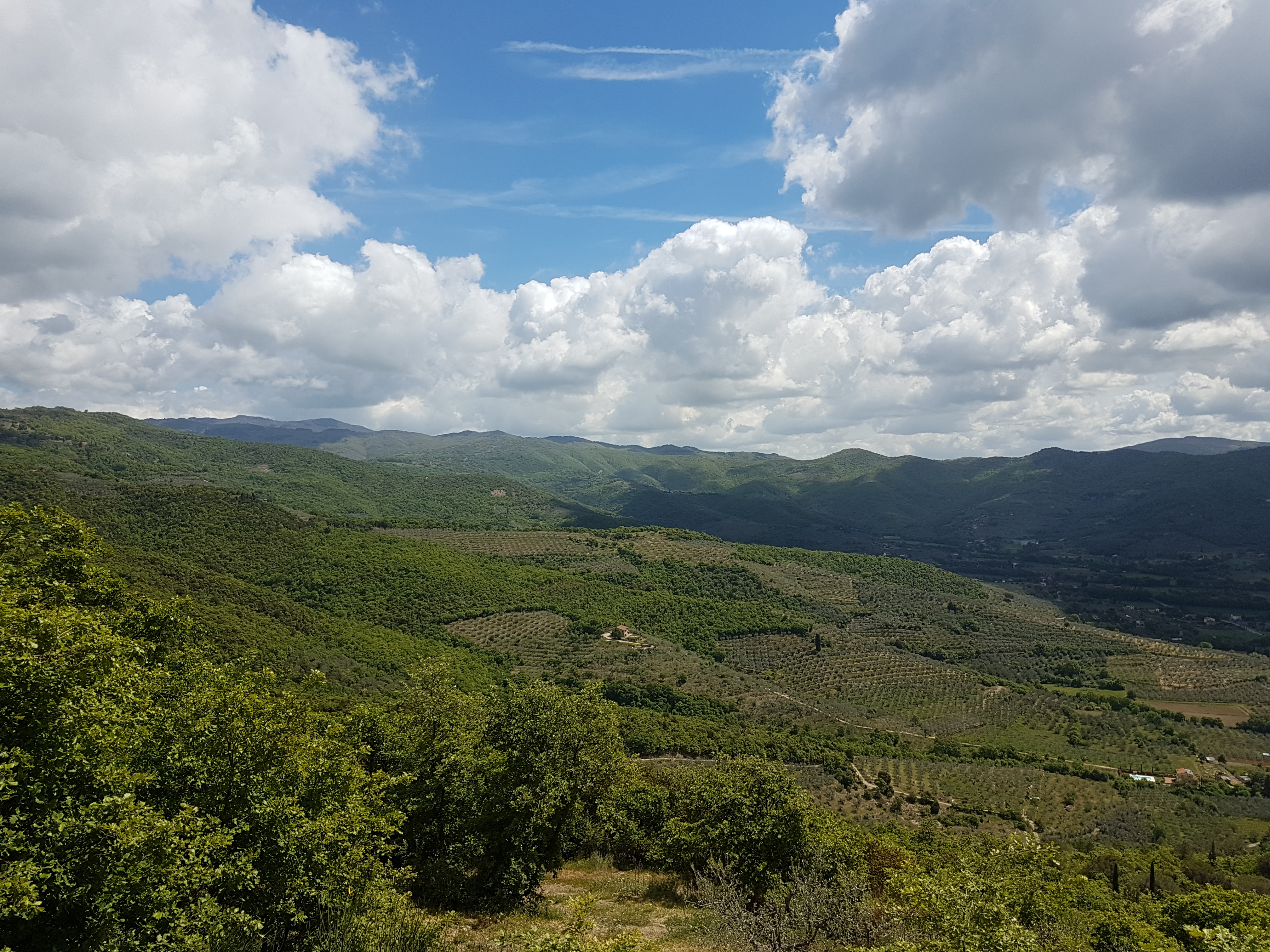
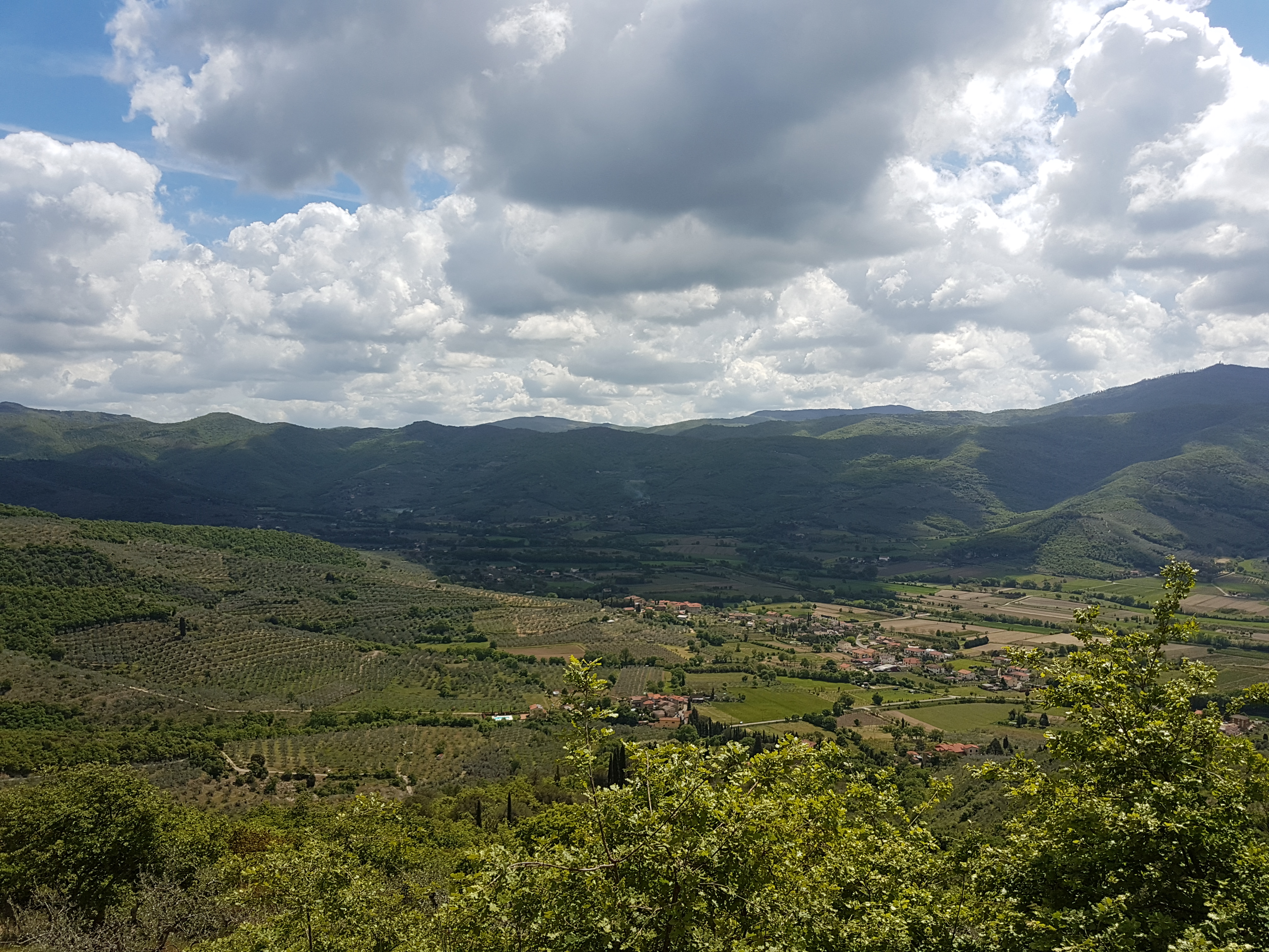
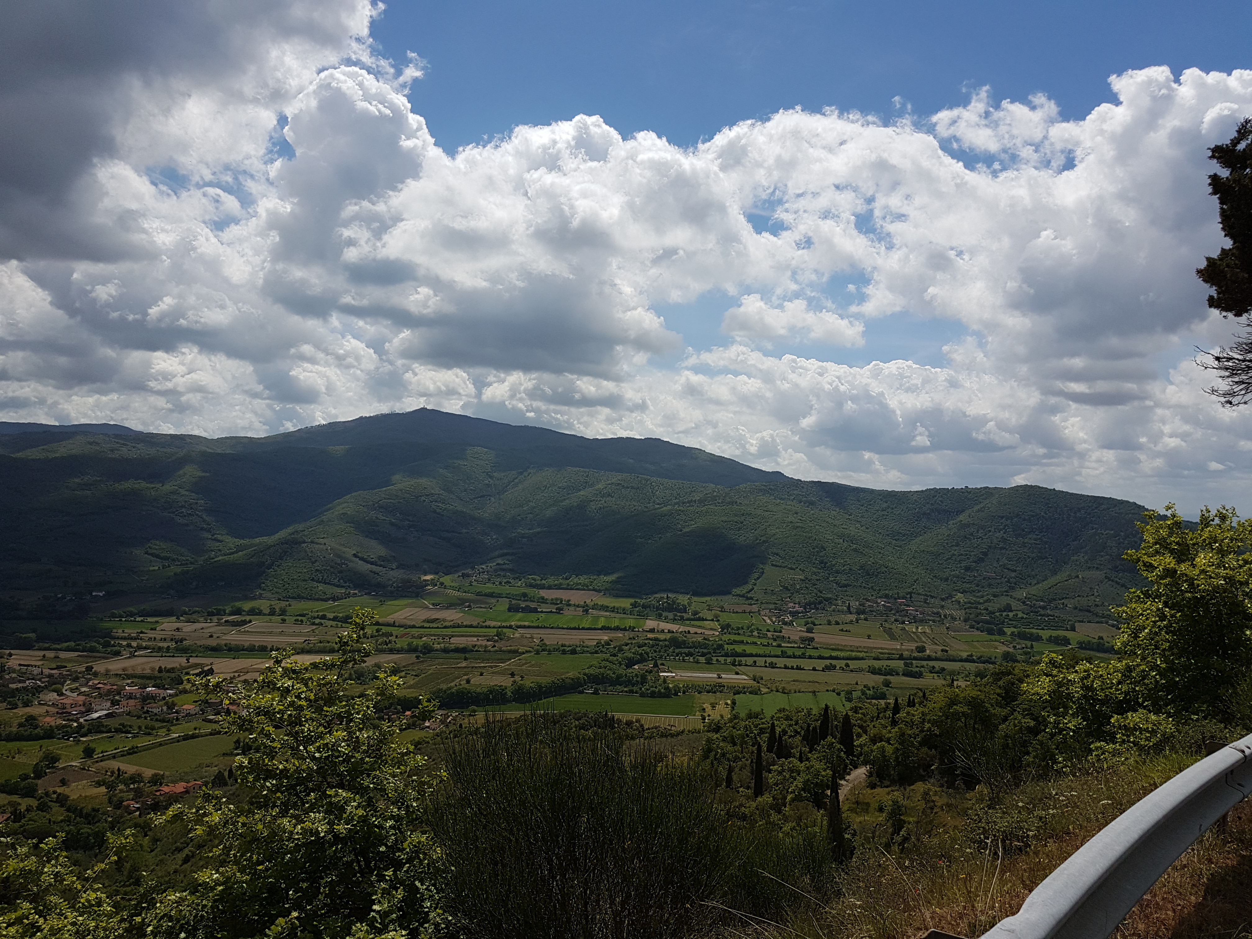
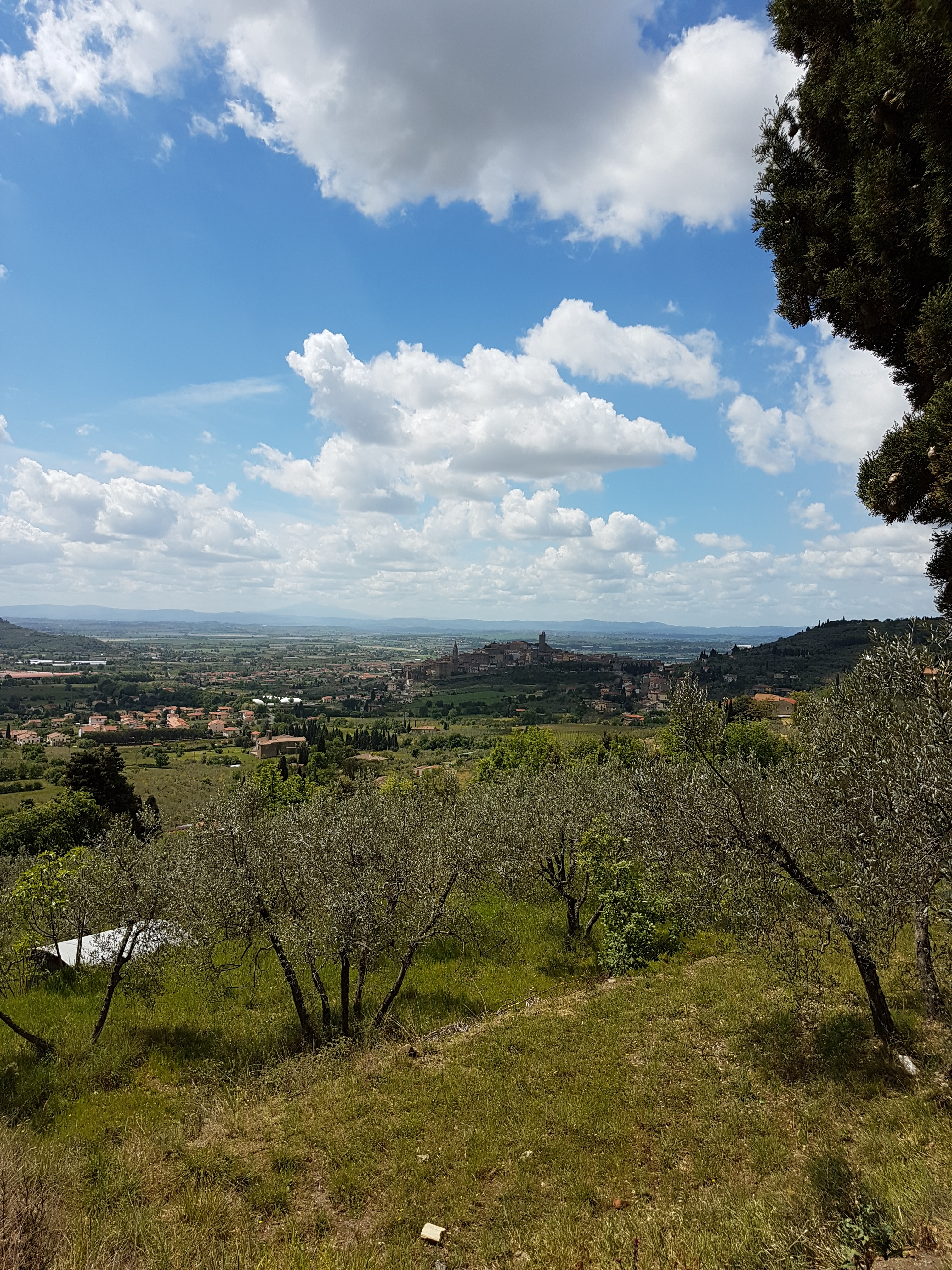
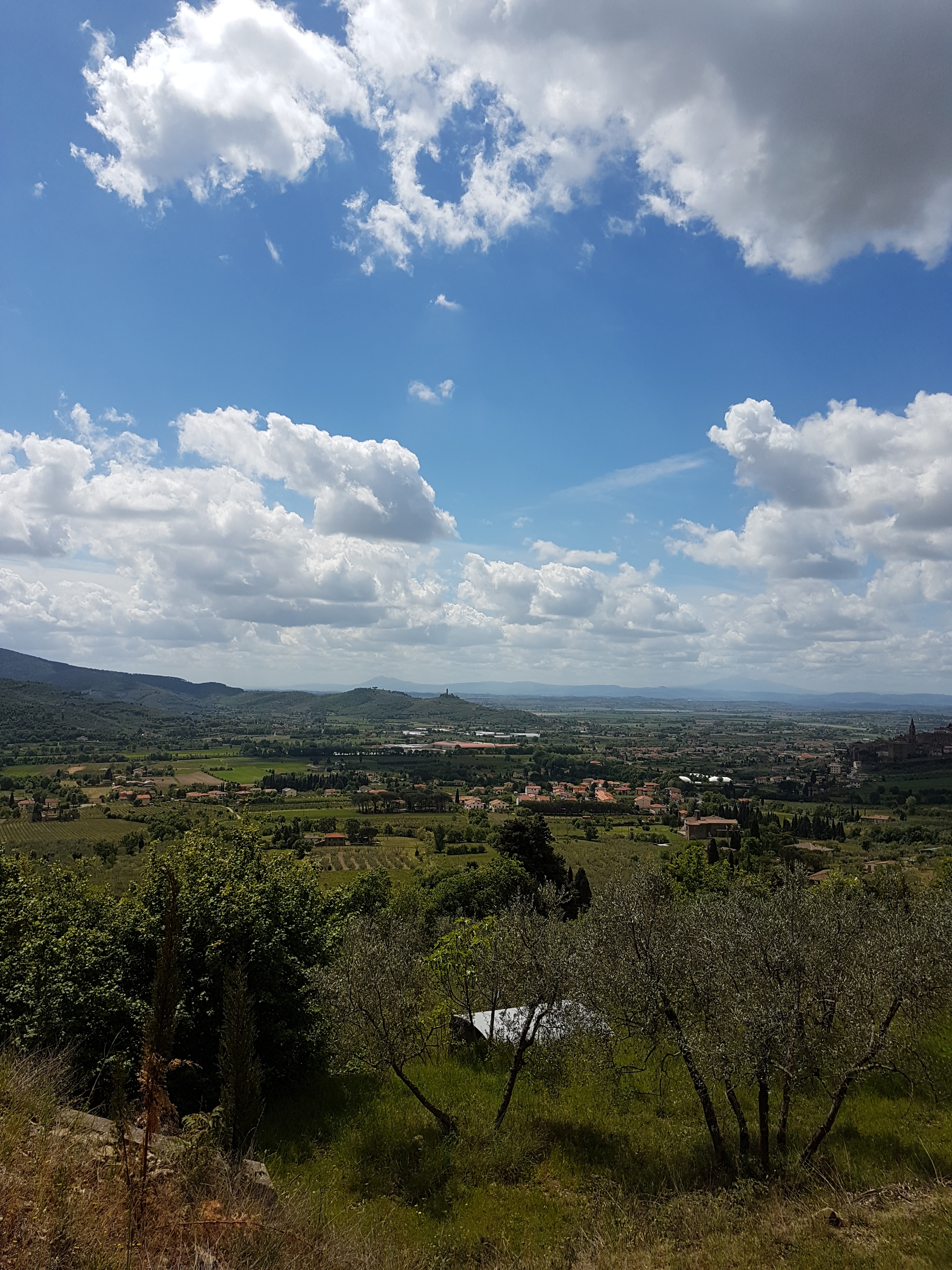
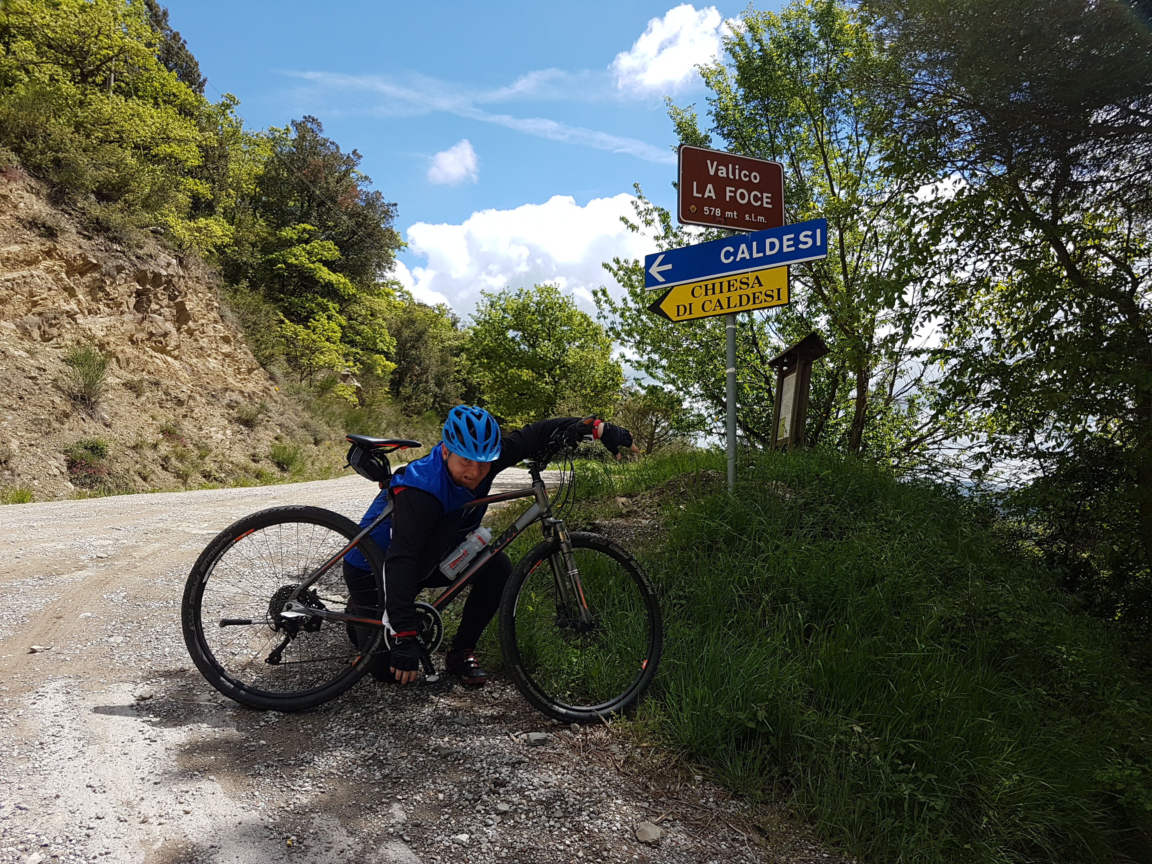
Začnemo v vasi Le Ville in nadaljujemo v smeri  Palazzo dell Pero. Tu gremo na desno v dolino, ki se vzpenja so prelaza Valico La Foce. Od tod se spustimo v slikovit Castiglion Fiorentino. Po cesti Strada Provinciale Polvano e Valle Nestore se vzpnemo na drugi vrh poti. Nato se spuščamo proti  Citta Di Castello, skozi Monterchi nazaj do izhodišča.

Map of the route “Castiglion Fiorentino s kolesom”: 87,04 km, 745 m of climbing and 760 m of descent, elevation between 262 m and 578 m, time 05:22:48. It is a loop that starts and ends at 43.48381, 12.07642 (latitude, longitude).

Total distance: 87.04 km
Total climbing: 745 m
Total descent: 760 m
Average speed: 21.82 km/h
Download file: 2017-05-02%201043__20170502_1043.gpx

Relive video

Related Images:

Facebooktwitterredditpinterestlinkedinmailby feather

Krožna kolesarska pot čez Chiusi della Verna

Ta pot je povsem blizu bajte. Začne se lahko pred restavraacijo Il Rifugio, bolje pripravljeni pa kar od hiše. Pot se najprej vspenja do turistične vasi s samostanom Chiusi della Verna in naprej na prelaz Dello Spino. Po prelazu sledi v glavnem samo spust do izhodišča.

Pot je kar zahtevna, saj so vzponi in spusti precej strmi.

Map of the route “Krožna kolesarska pot čez Chiusi della Verna”: 31,35 km, 634 m of climbing and 640 m of descent, elevation between 481 m and 1.026 m, time 02:24:16. It is a loop that starts and ends at 43.64640, 11.97602 (latitude, longitude).

Total distance: 31.51 km
Total climbing: 634 m
Total descent: 640 m
Average speed: 23.19 km/h
Download file: 2017-05-01%201306__20170501_1306.gpx

Relive video

Related Images:

Facebooktwitterredditpinterestlinkedinmailby feather

Kolesarska pot okoli jezera Montedoglio

Lepa kolesarska pot okoli jezera  Montedoglio

Začnemo jo na križišču na poti proti Angiariju blizu jezu (Jezero je umetno).

Pot vodi okoli jezera po slikoviti pokrajini in gre ob mestih Sansepolcro in Anghiari.

Pot ni preveč zahtevna, vendar vsebuje kar nekaj ne prestrmih vzponov in spustov.

Map of the route “Kolesarska pot okoli jezera Montedoglio”: 38,59 km, 266 m of climbing and 298 m of descent, elevation between 314 m and 473 m, time 02:08:13. It is a loop that starts and ends at 43.58752, 12.03930 (latitude, longitude).

Total distance: 38.72 km
Total climbing: 266 m
Total descent: 298 m
Average speed: 23.02 km/h
Download file: 2017-04-30%201107__20170430_1107.gpx

Relive video

Related Images:

Facebooktwitterredditpinterestlinkedinmailby feather

Introductionary ride/drive scenic roads nearby …

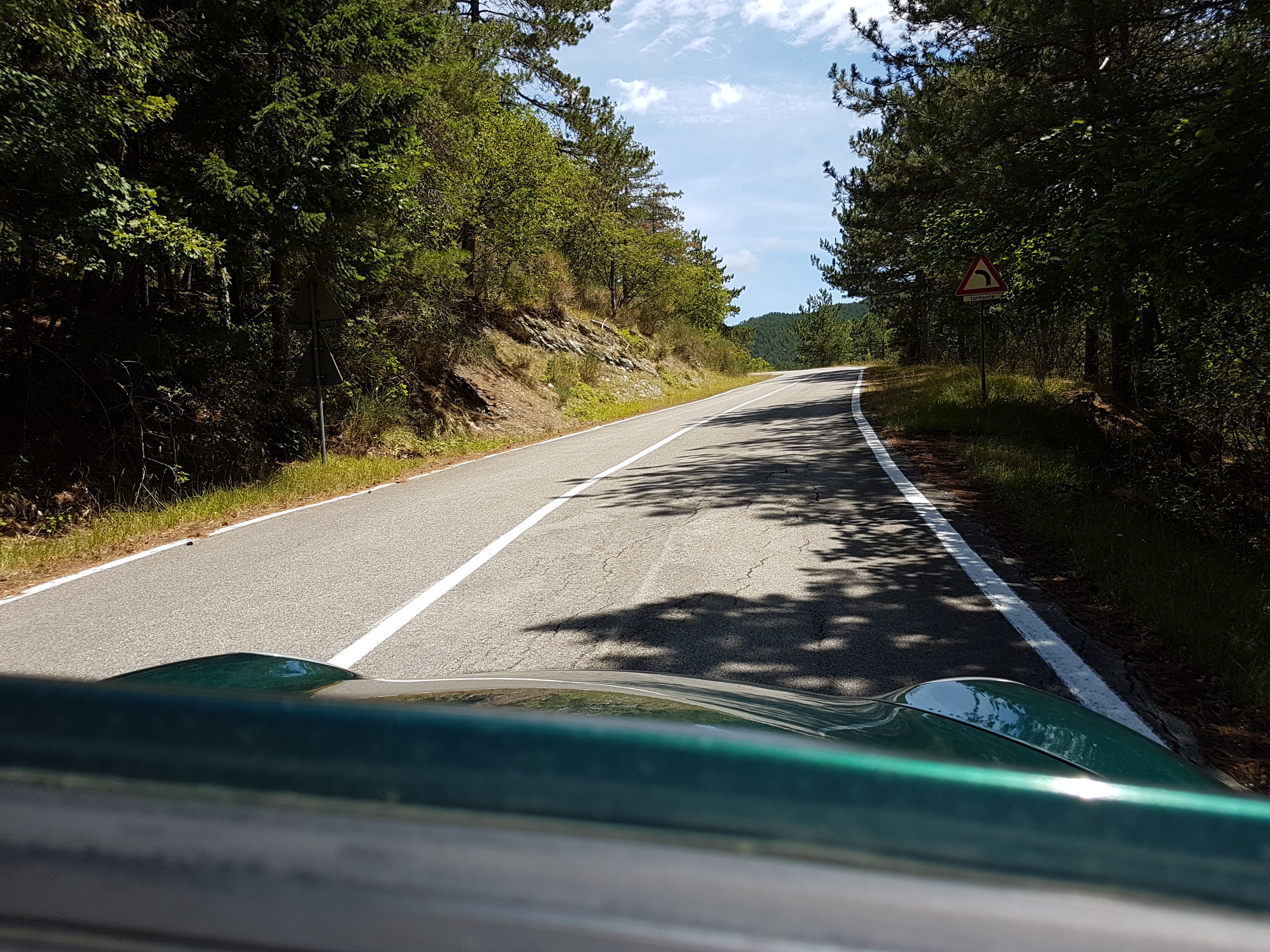
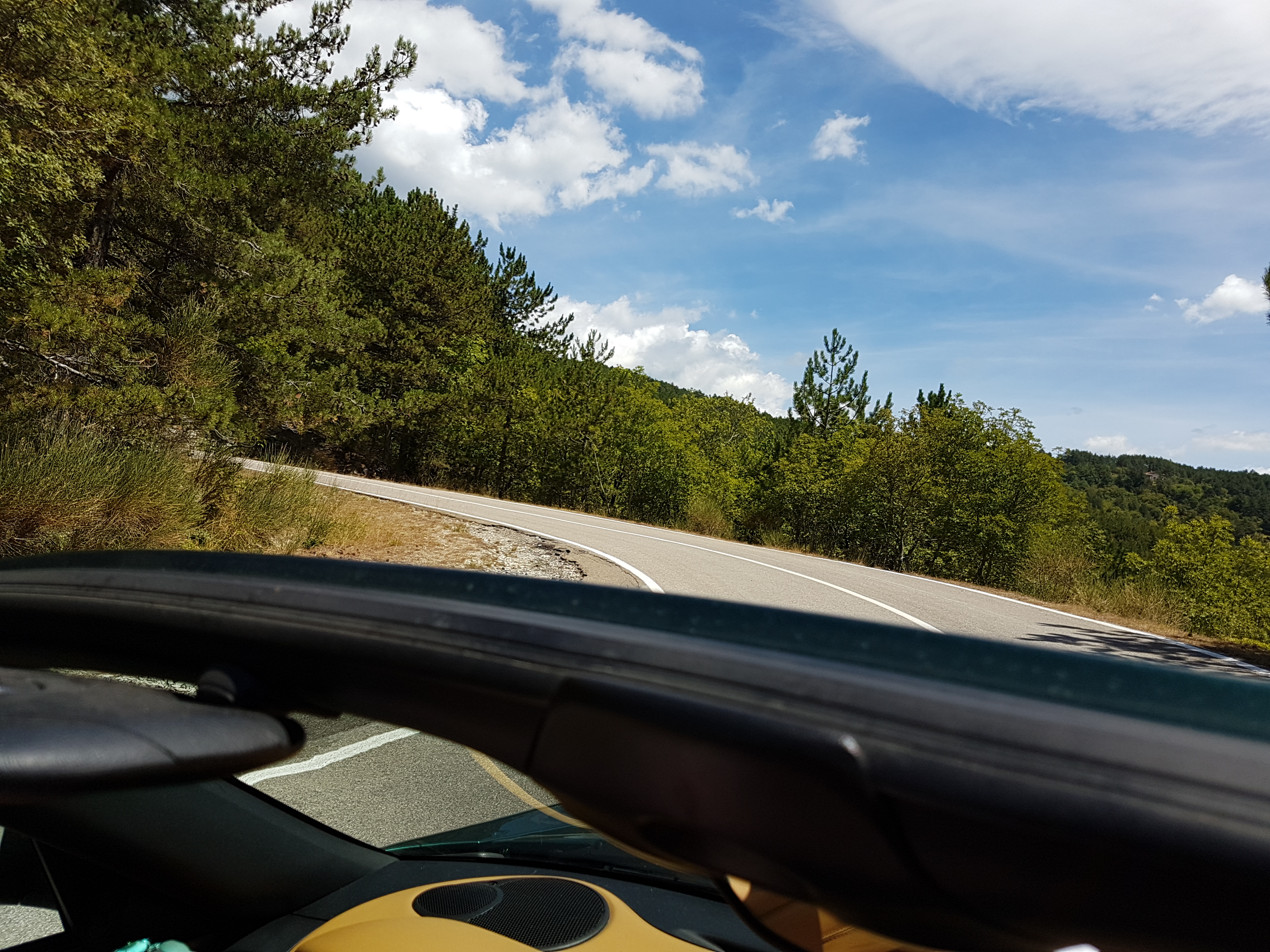
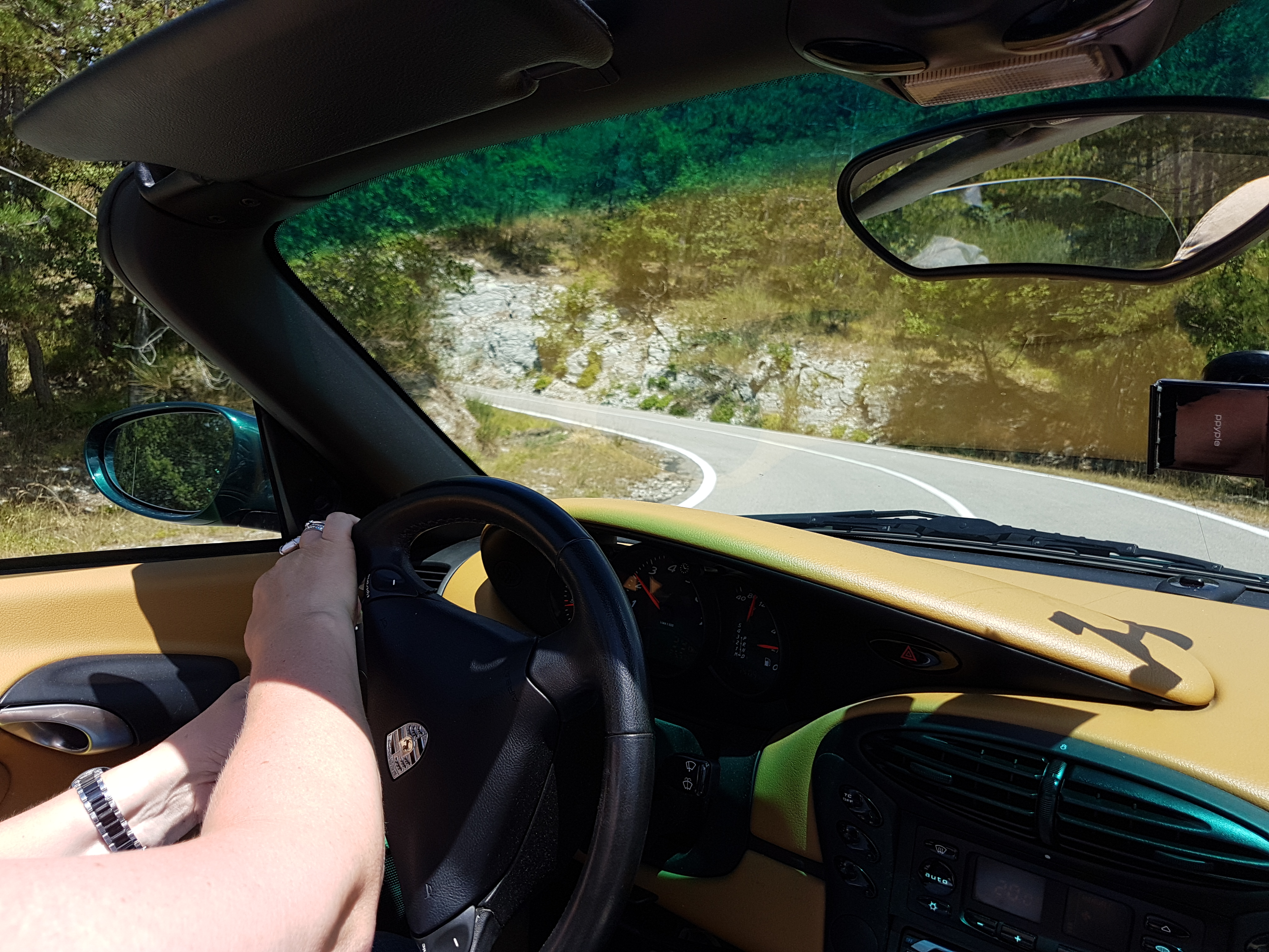
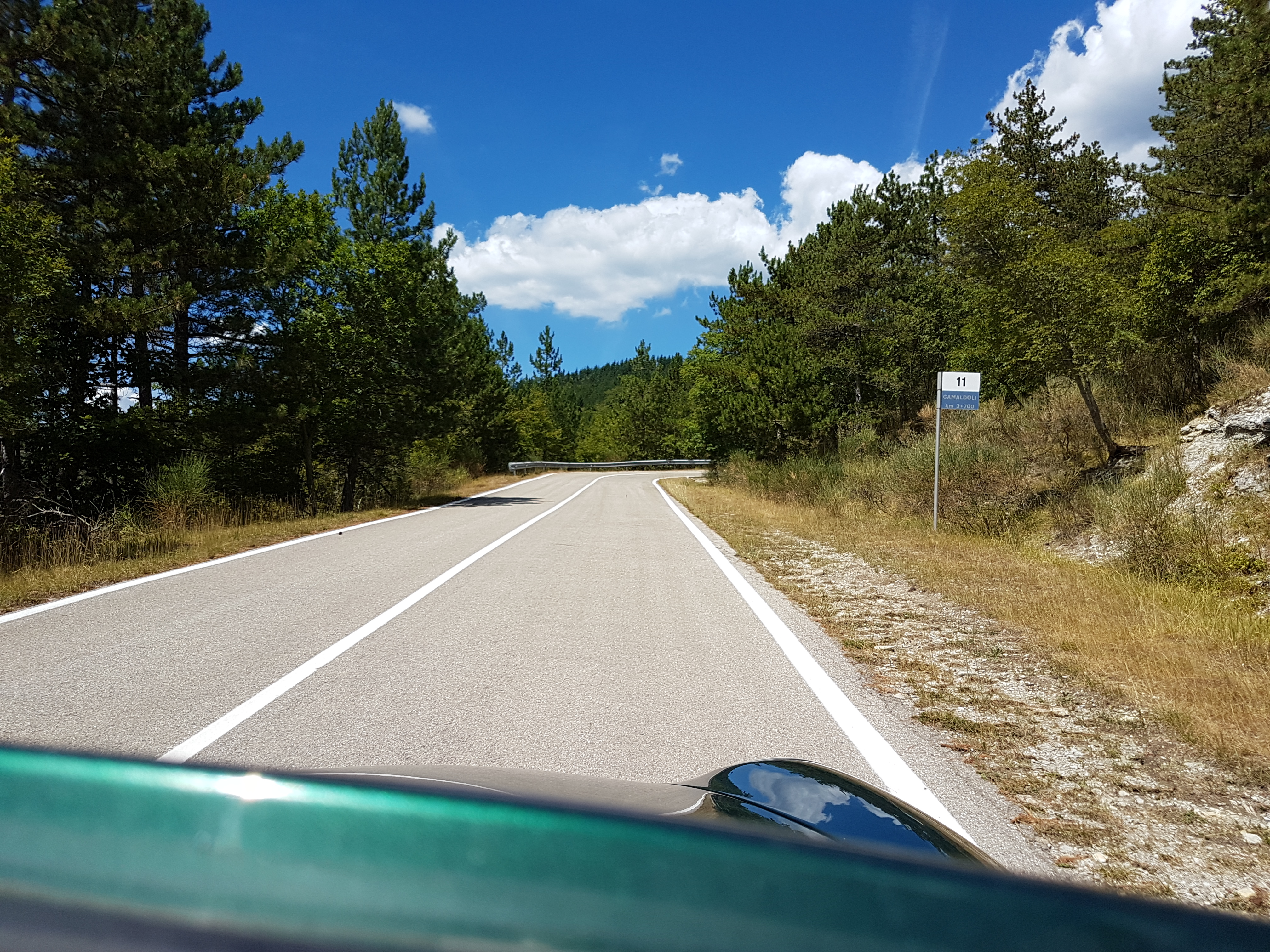
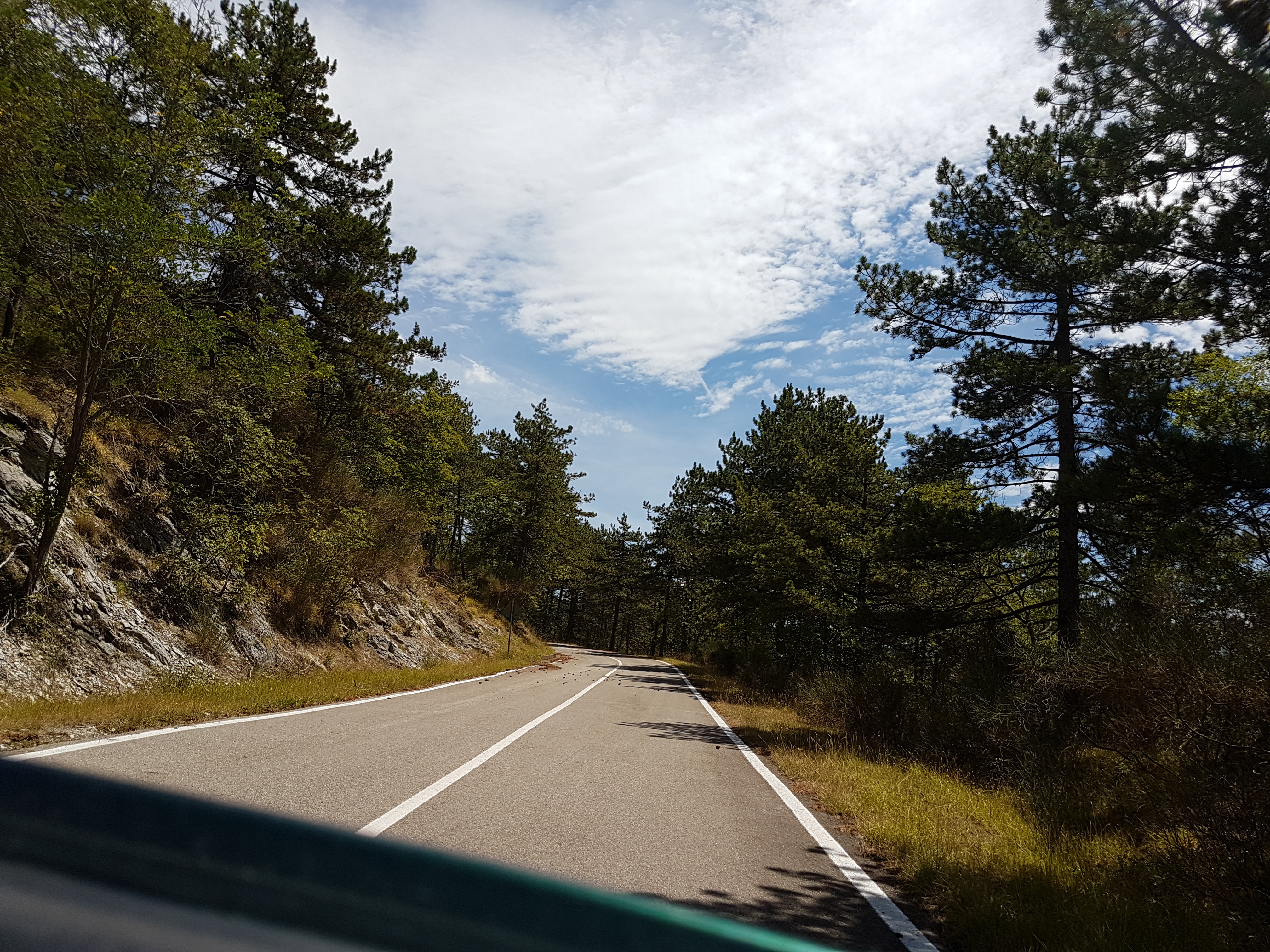
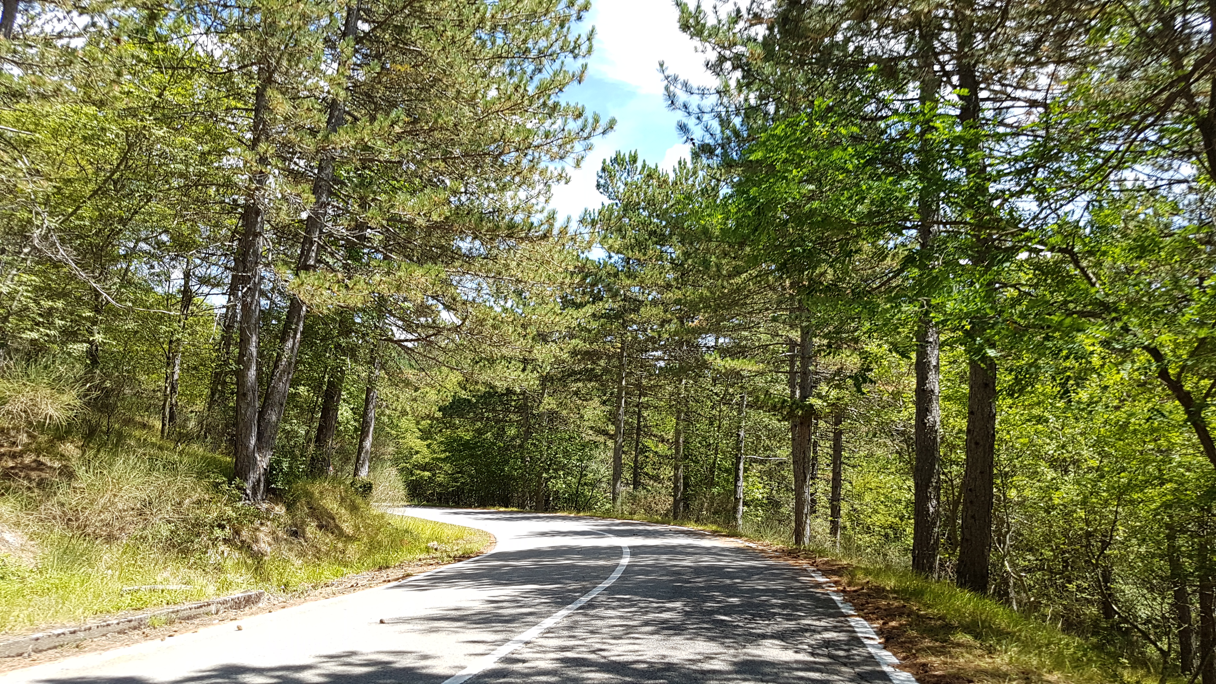
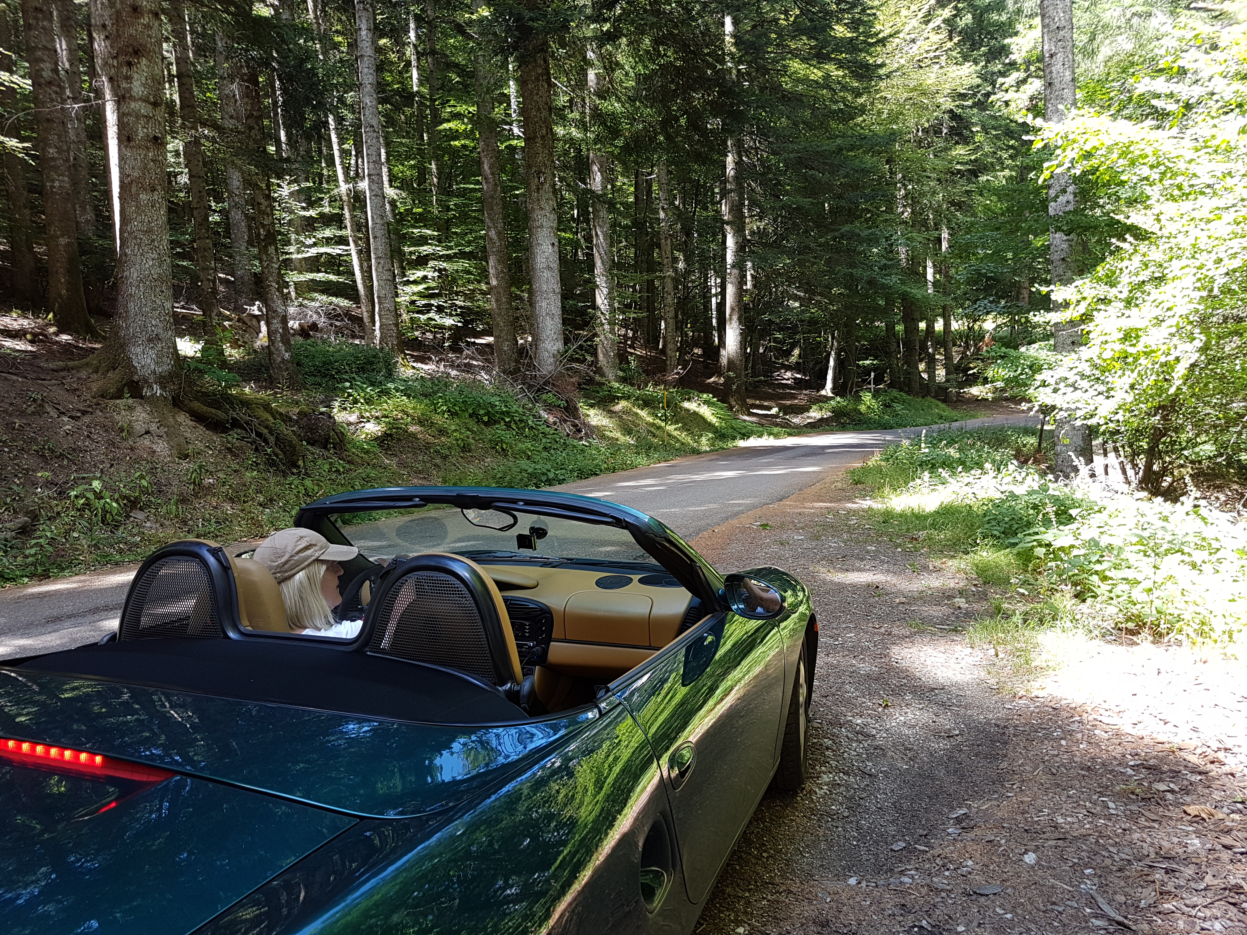
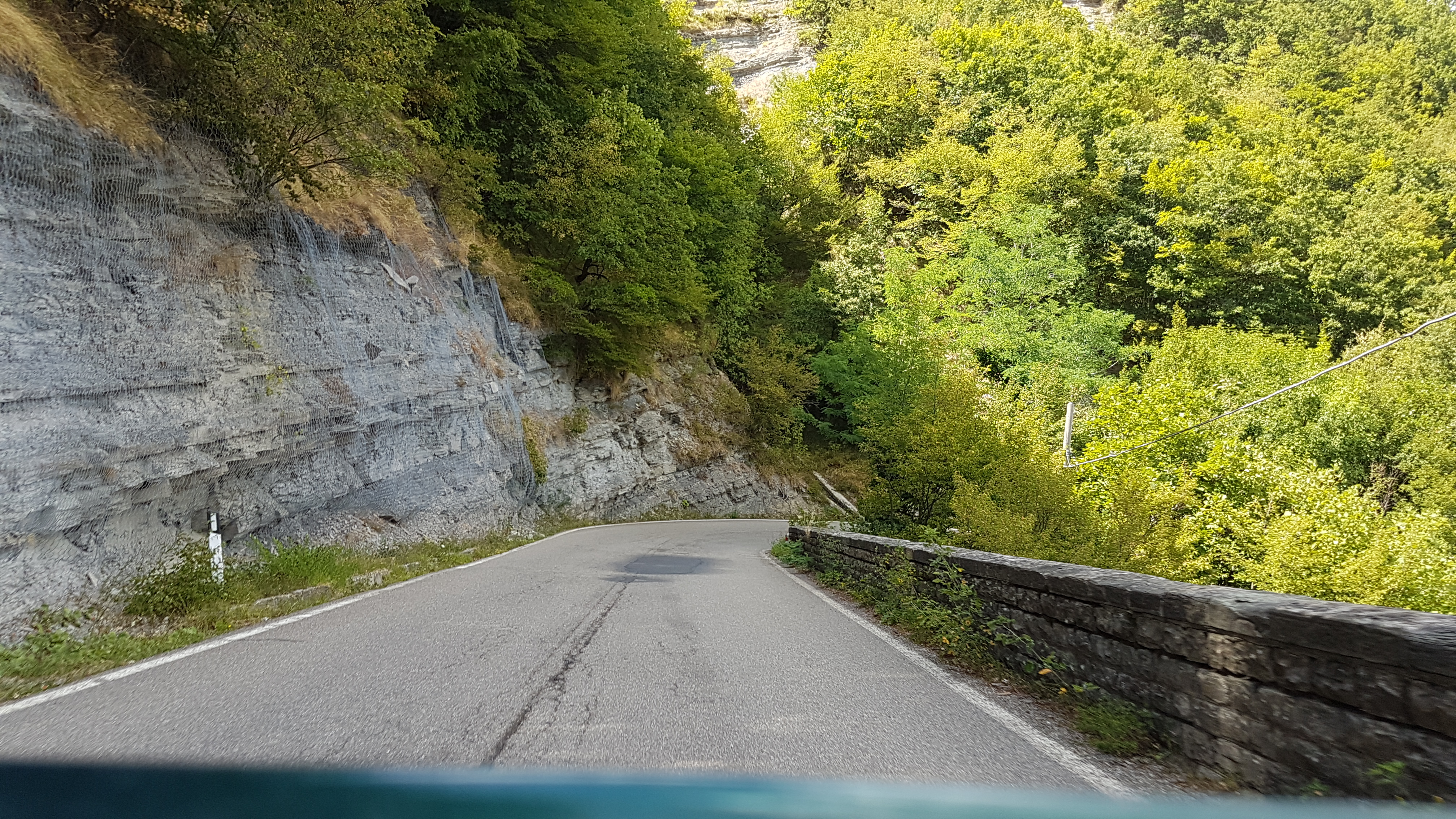
This nice and short introductionary route around nearby passes on really scenic roads. Very good for motorcycle or sports car.

On the route You cad do some sightseeing since You ride/drive through:

Map of the route “Introductionary ride/drive scenic roads nearby …”: 184,06 km, 3.309 m of climbing and 3.334 m of descent, elevation between 292 m and 1.263 m, time 07:12:47. It is a loop that starts and ends at 43.65121, 11.95727 (latitude, longitude).

Total distance: 184.3 km
Total climbing: 3309 m
Total descent: 3334 m
Average speed: 59.75 km/h
Download file: 20170727.gpx

If You follow gpx track completly, there is some unpaved section, which can be avoided if You stay on SP67 instead of turning to SP124.

Related Images:

Facebooktwitterredditpinterestlinkedinmailby feather

27.12.2016 sprehod po Alpe di Fagetta

Nice hike on top of the Fagetta Alps. Easy walk with great views on surounding valleys.

Map of the route “27.12.2016 sprehod po Alpe di Fagetta”: 5,73 km, 262 m of climbing and 230 m of descent, elevation between 1.197 m and 1.406 m, time 01:36:54. It is a loop that starts and ends at 43.61956, 11.95236 (latitude, longitude).

Total distance: 5.78 km
Total climbing: 262 m
Total descent: 230 m
Average speed: 4.34 km/h
Download file: 2016-12-27.gpx

Read more from others …

Related Images:

Facebooktwitterredditpinterestlinkedinmailby feather