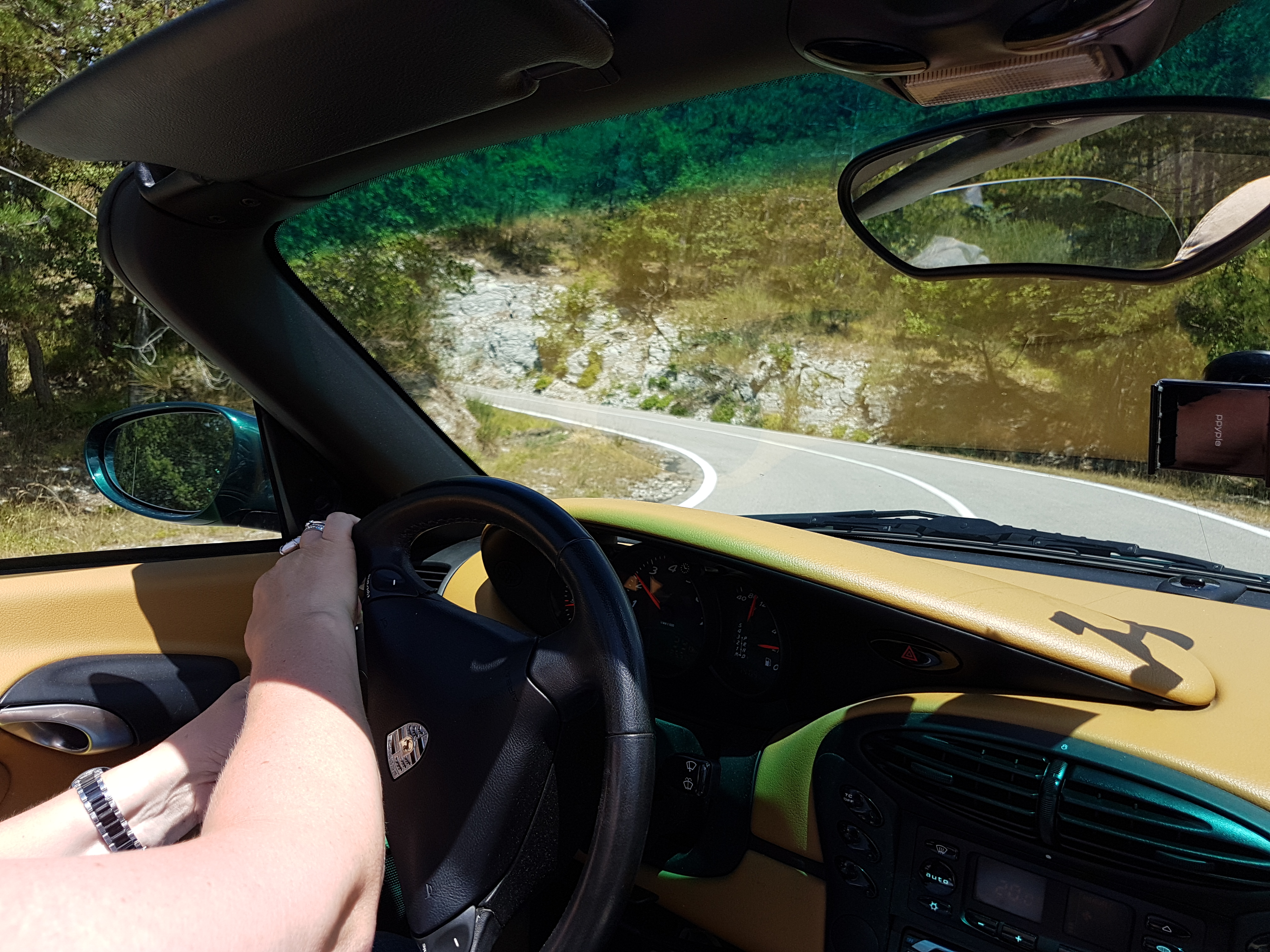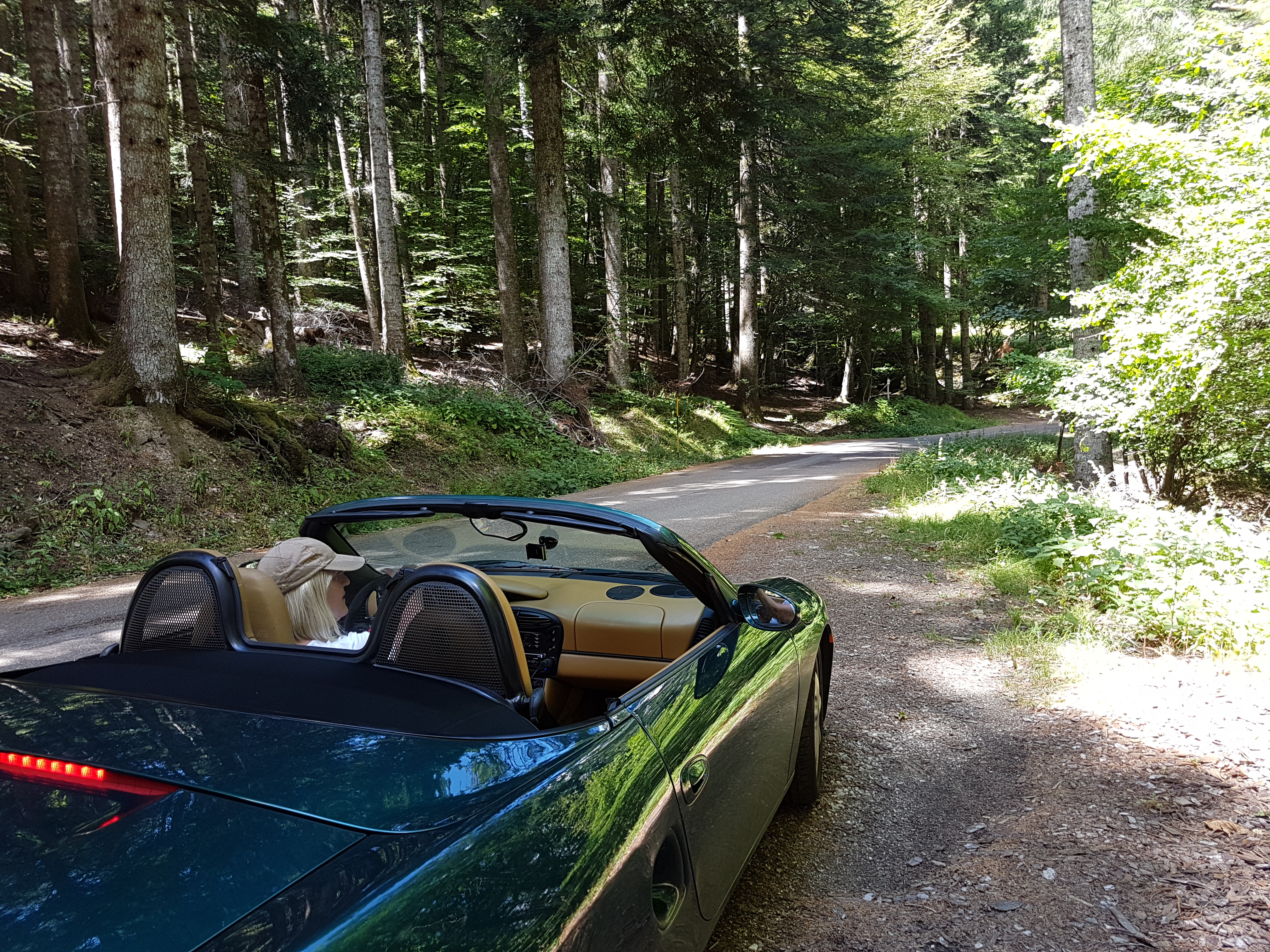
Porsche 986, y2000 spisek izboljšav

  • Vgradnja LPG – plina
  • Po vgradnji je strošek goriva primerljiv z KIA Ceed SW dizel 🙂
  • Žarometi – originalni so imeli rumene “zažgane” leče.
  • Vodna črpalka
  • Raztezna posoda za hladilno tekočino
  • “Bushes” na vzmetenju
  • “Engine mount”
  • Ventilatorji na sprednjih hladilnikih.
  • Ključavnica v levih vratih
  • A/C condenser and dryer
  • Brake calliper refurb kit
  • Crank shaft position sensor
  • Air / oil separator
  • Usnje na sedežih
  • “Torque converter” na avtomatskem menjalniku
  • Mehanizem za dvigovanje stekla v levih vratih
  • Zadnje kontrolne roke – avto se pelje sedaj ko novi 🙂
  • Sprednje kontrolne roke

Zahvala za možnost lastništva tega avta gre vsekakor bratu Danilu, ki menjava in vgrajuje nadomestne dele v domači garaži in mi svojega dela ne računa 🙂

Related Images:

Facebooktwitterredditpinterestlinkedinmailby feather

29.10.2017 Kolpa in medvedje ride

Map of the route “29.10.2017 Kolpa in medvedje ride”: 444,09 km, 8.885 m of climbing and 8.861 m of descent, elevation between 163 m and 1.025 m, time 06:53:37. It starts at 46.33407, 15.57351 and ends at 46.56929, 15.65648 (latitude, longitude).

Total distance: 444.54 km
Total climbing: 8885 m
Total descent: 8861 m
Average speed: 71.81 km/h
Download file: 2017-10-29%201049__20171029_1049.gpx

Related Images:

Facebooktwitterredditpinterestlinkedinmailby feather

14.10.2017 Austrian hills with motorcycle

Map of the route “14.10.2017 Austrian hills with motorcycle”: 471,49 km, 6.433 m of climbing and 6.380 m of descent, elevation between 304 m and 1.830 m, time 07:10:26. It starts at 46.72982, 15.61607 and ends at 46.56313, 15.65739 (latitude, longitude).

Total distance: 473.23 km
Total climbing: 6433 m
Total descent: 6380 m
Average speed: 79.68 km/h
Download file: 2017-10-14%201121__20171014_1121.gpx

Related Images:

Facebooktwitterredditpinterestlinkedinmailby feather

Introductionary ride/drive scenic roads nearby …

This nice and short introductionary route around nearby passes on really scenic roads. Very good for motorcycle or sports car.

On the route You cad do some sightseeing since You ride/drive through:

Map of the route “Introductionary ride/drive scenic roads nearby …”: 184,06 km, 3.309 m of climbing and 3.334 m of descent, elevation between 292 m and 1.263 m, time 07:12:47. It is a loop that starts and ends at 43.65121, 11.95727 (latitude, longitude).

Total distance: 184.3 km
Total climbing: 3309 m
Total descent: 3334 m
Average speed: 59.75 km/h
Download file: 20170727.gpx

If You follow gpx track completly, there is some unpaved section, which can be avoided if You stay on SP67 instead of turning to SP124.

Related Images:

Facebooktwitterredditpinterestlinkedinmailby feather