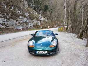
Porsche 986, y2000 spisek izboljšav

  • Vgradnja LPG – plina
  • Po vgradnji je strošek goriva primerljiv z KIA Ceed SW dizel 🙂
  • Žarometi – originalni so imeli rumene “zažgane” leče.
  • Vodna črpalka
  • Raztezna posoda za hladilno tekočino
  • “Bushes” na vzmetenju
  • “Engine mount”
  • Ventilatorji na sprednjih hladilnikih.
  • Ključavnica v levih vratih
  • A/C condenser and dryer
  • Brake calliper refurb kit
  • Crank shaft position sensor
  • Air / oil separator
  • Usnje na sedežih
  • “Torque converter” na avtomatskem menjalniku
  • Mehanizem za dvigovanje stekla v levih vratih
  • Zadnje kontrolne roke – avto se pelje sedaj ko novi 🙂
  • Sprednje kontrolne roke

Zahvala za možnost lastništva tega avta gre vsekakor bratu Danilu, ki menjava in vgrajuje nadomestne dele v domači garaži in mi svojega dela ne računa 🙂

Related Images:

Facebooktwitterredditpinterestlinkedinmailby feather

29.10.2017 Kolpa in medvedje ride

Map of the route “29.10.2017 Kolpa in medvedje ride”: 444,09 km, 8.885 m of climbing and 8.861 m of descent, elevation between 163 m and 1.025 m, time 06:53:37. It starts at 46.33407, 15.57351 and ends at 46.56929, 15.65648 (latitude, longitude).

Total distance: 444.54 km
Total climbing: 8885 m
Total descent: 8861 m
Average speed: 71.81 km/h
Download file: 2017-10-29%201049__20171029_1049.gpx

Related Images:

Facebooktwitterredditpinterestlinkedinmailby feather

14.10.2017 Austrian hills with motorcycle

Map of the route “14.10.2017 Austrian hills with motorcycle”: 471,49 km, 6.433 m of climbing and 6.380 m of descent, elevation between 304 m and 1.830 m, time 07:10:26. It starts at 46.72982, 15.61607 and ends at 46.56313, 15.65739 (latitude, longitude).

Total distance: 473.23 km
Total climbing: 6433 m
Total descent: 6380 m
Average speed: 79.68 km/h
Download file: 2017-10-14%201121__20171014_1121.gpx

Related Images:

Facebooktwitterredditpinterestlinkedinmailby feather

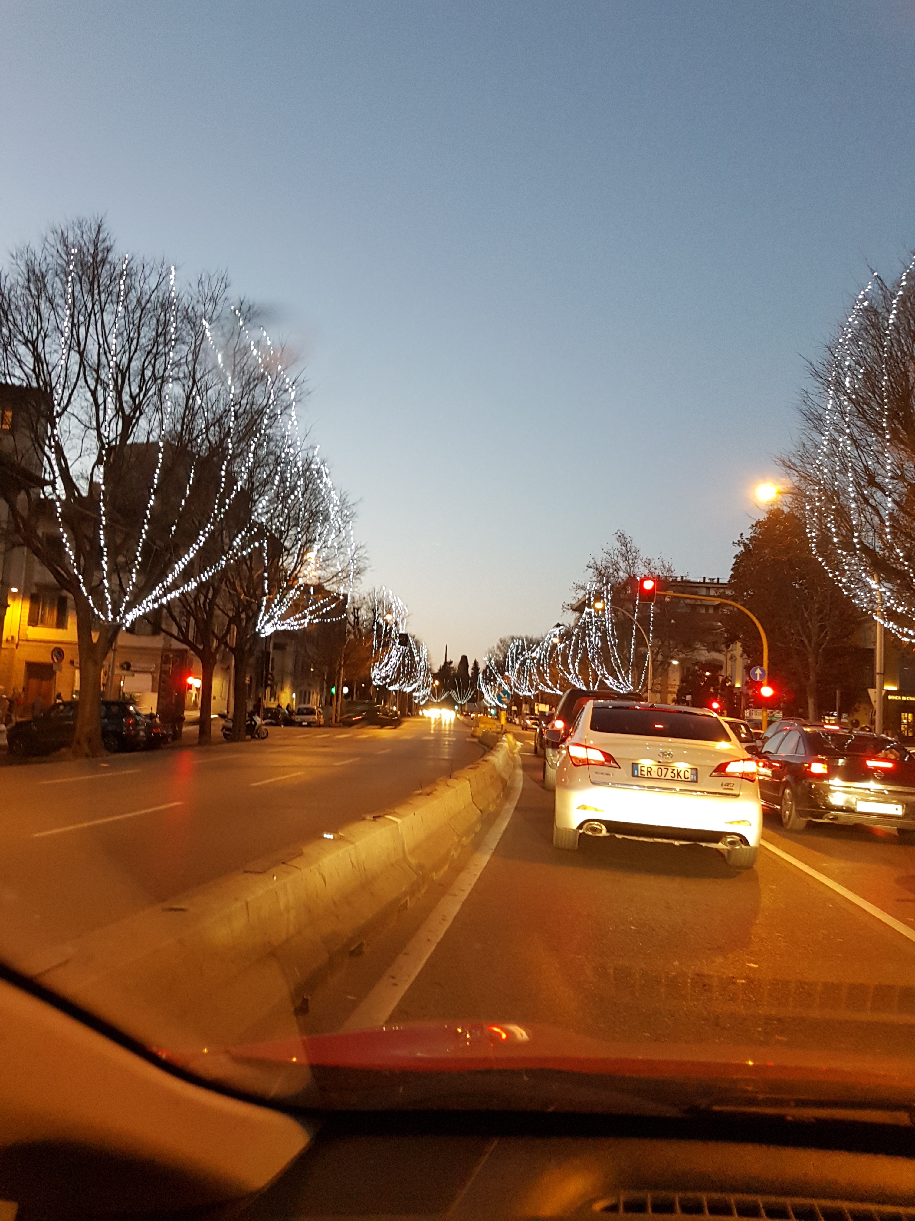
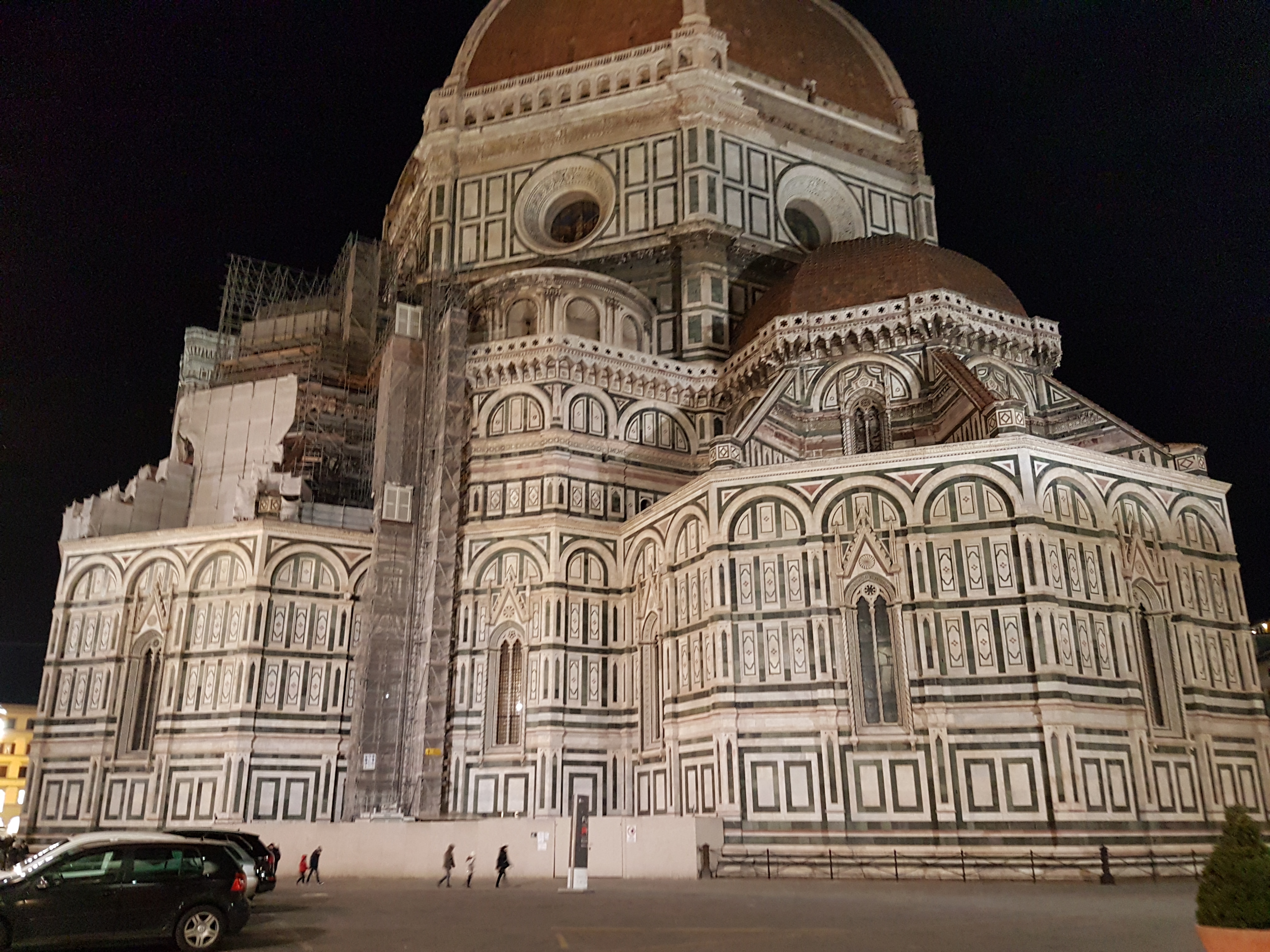
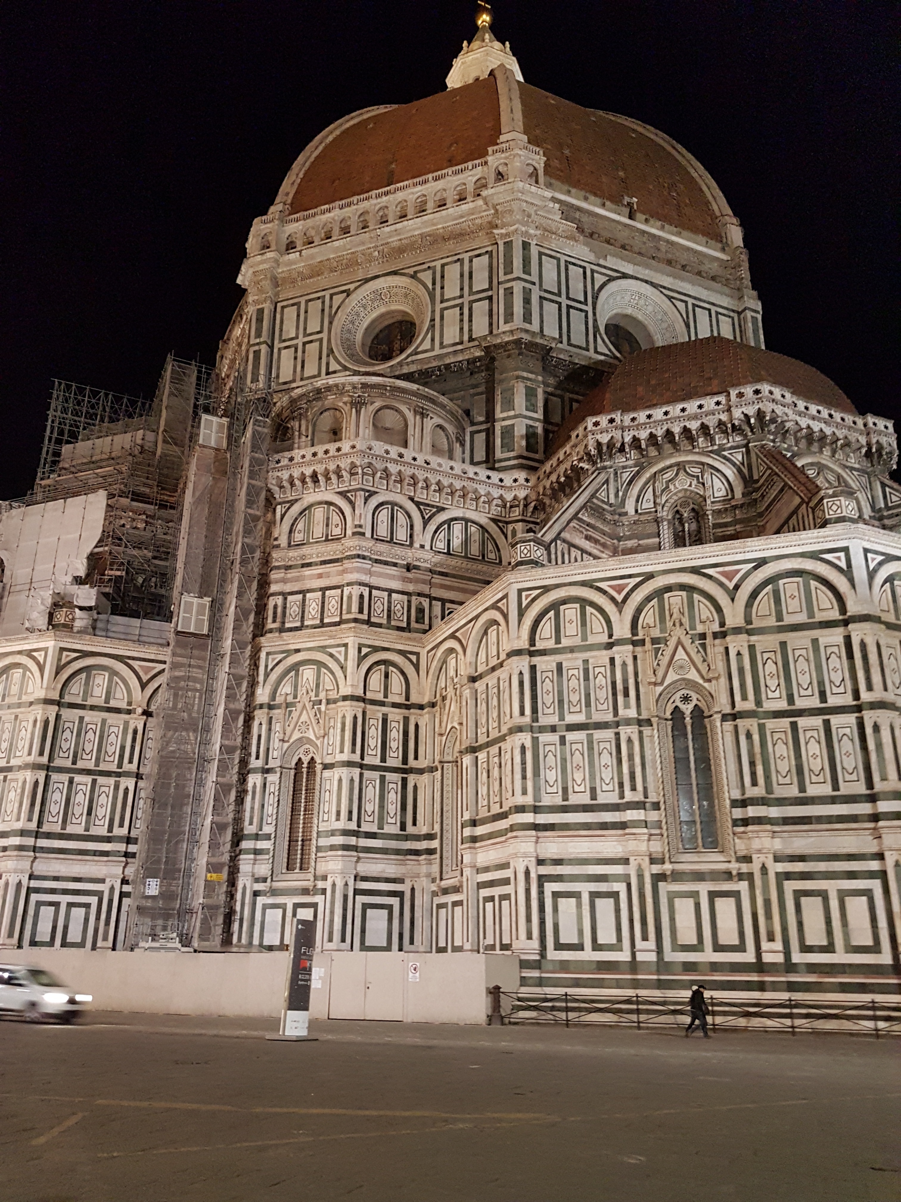
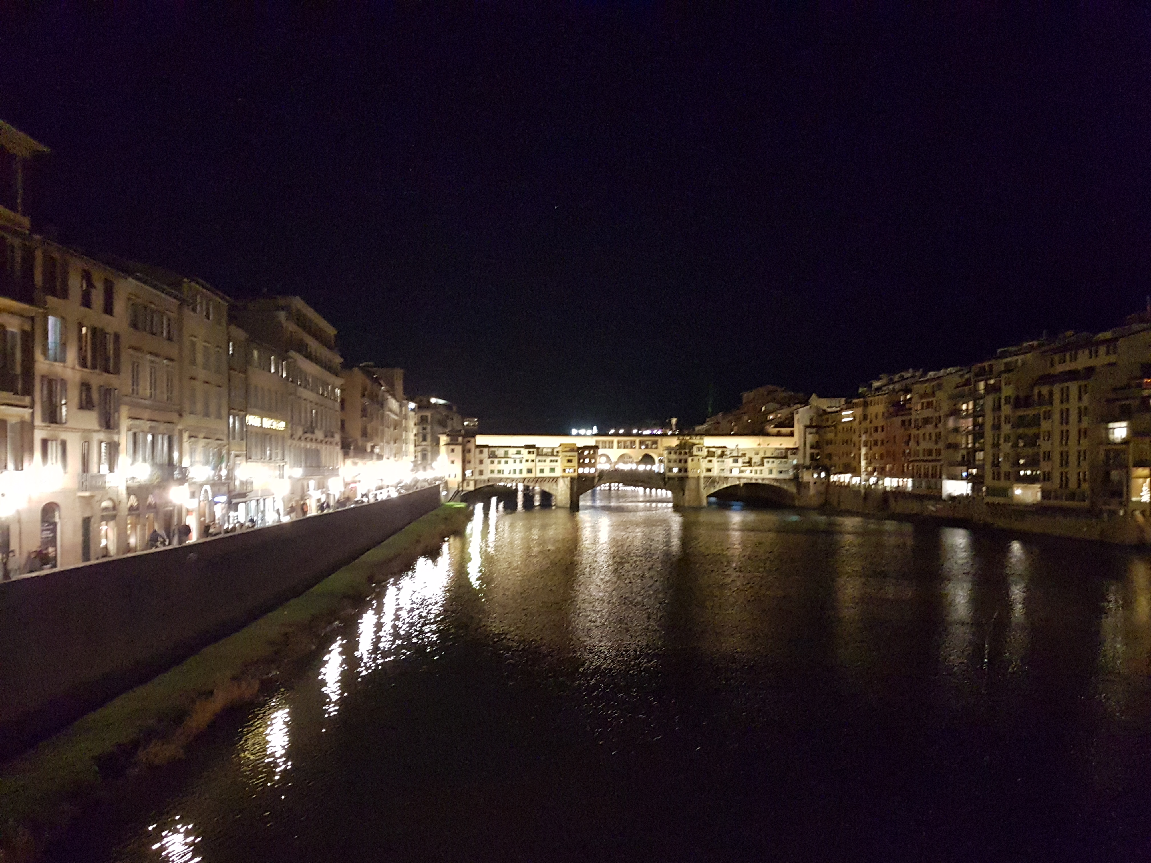
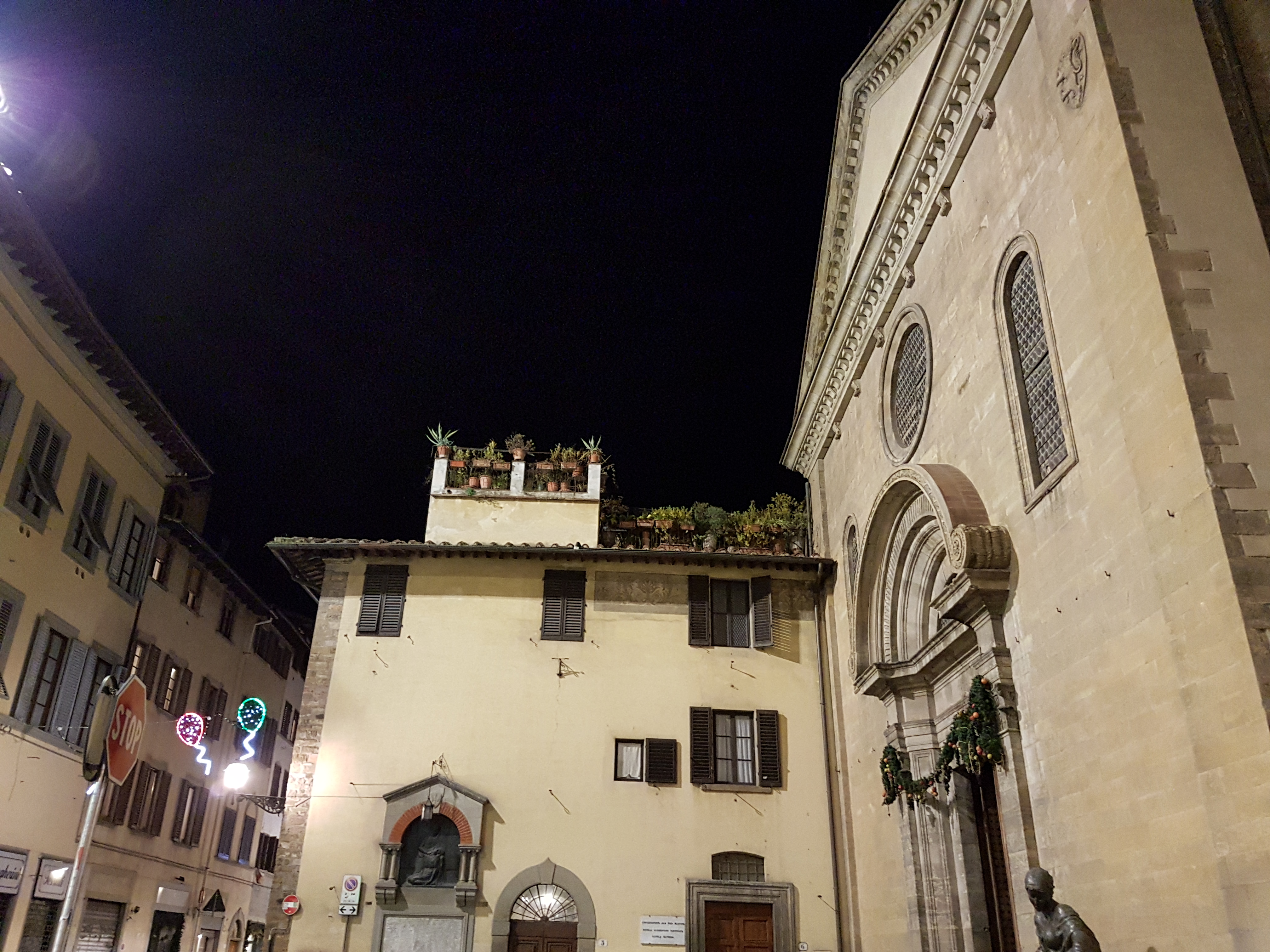
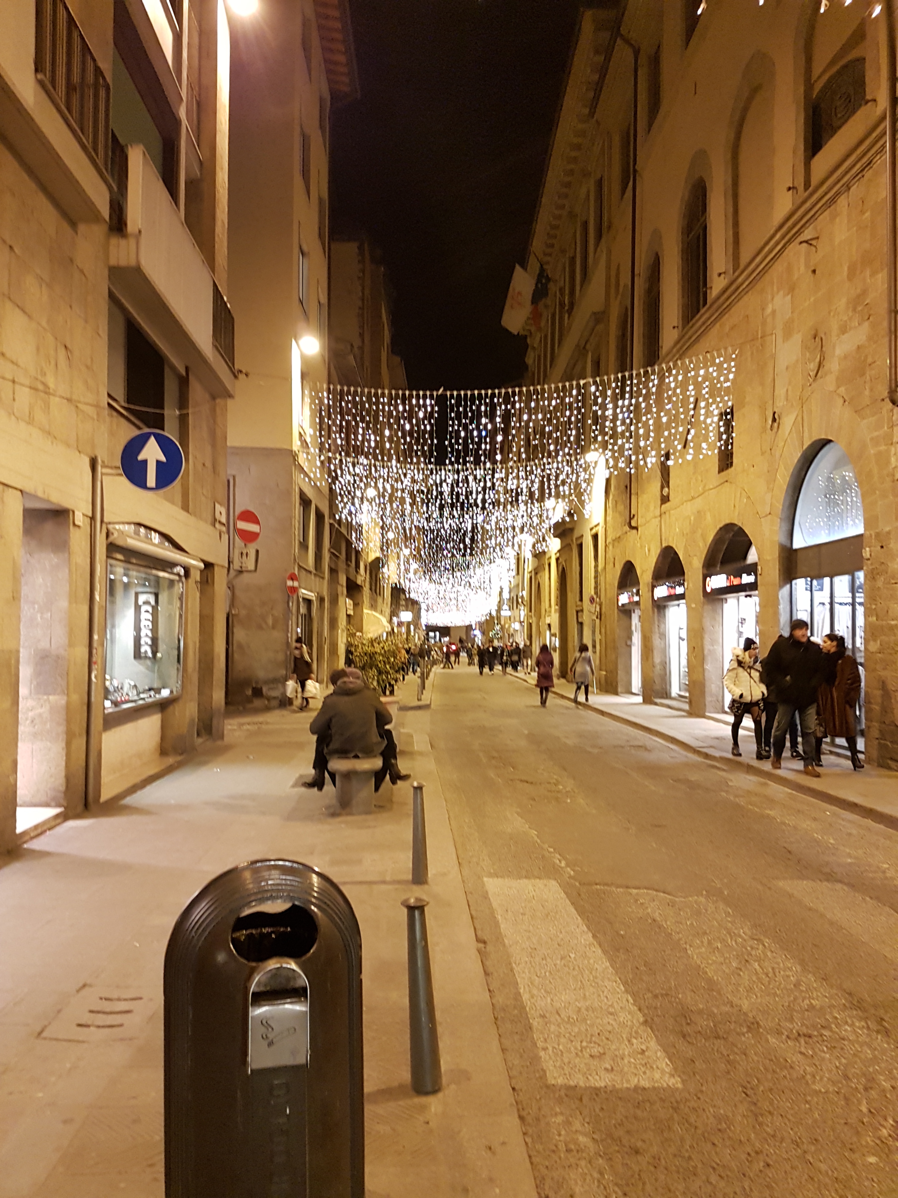
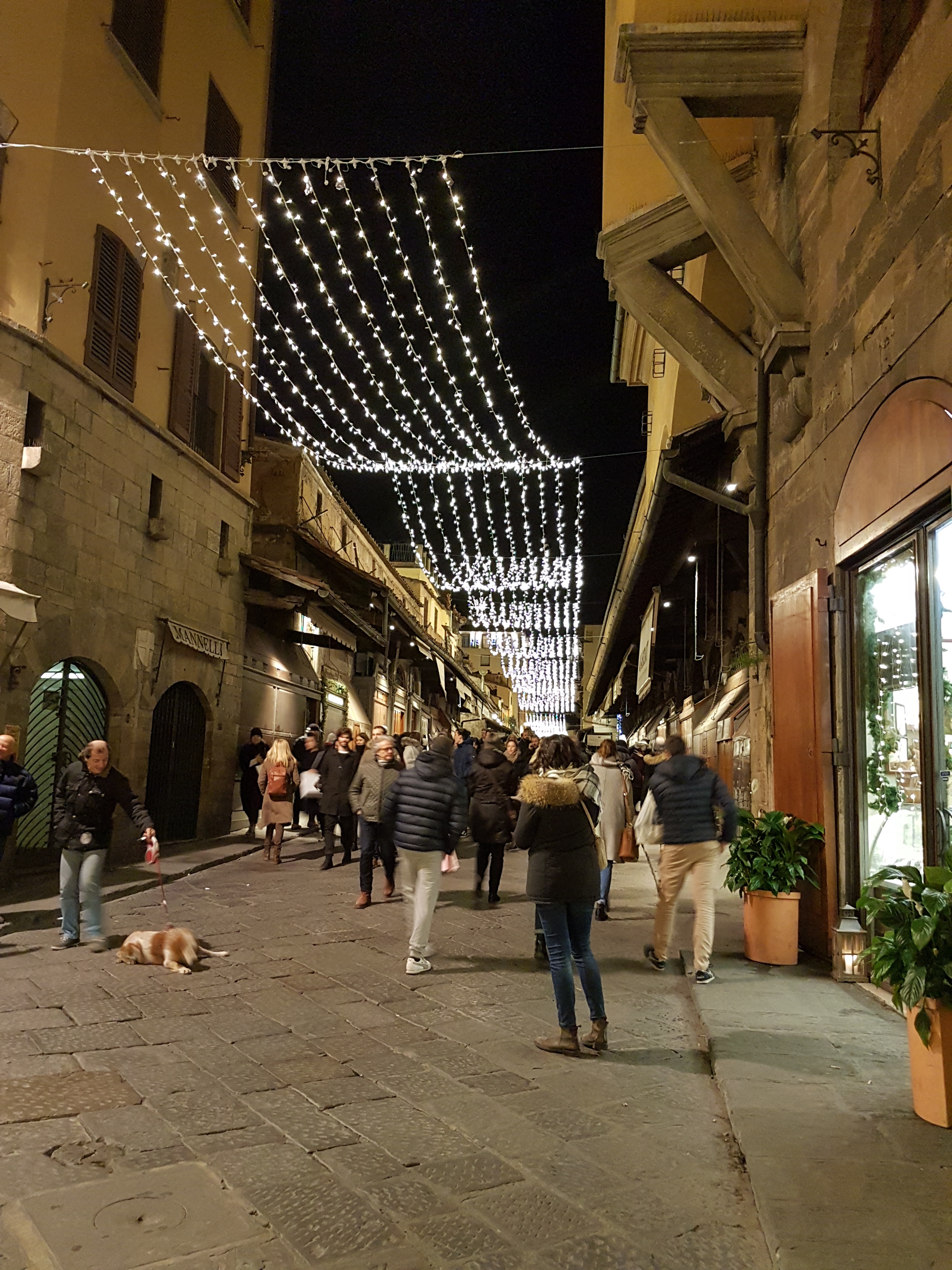
30.12.2016 Evening walk in Florence

Map of the route “30.12.2016 Evening walk in Florence”: 9,51 km, 125 m of climbing and 122 m of descent, elevation between 24 m and 64 m, time 01:53:45. It starts at 43.78120, 11.25216 and ends at 43.77082, 11.26741 (latitude, longitude).

Total distance: 9.51 km
Total climbing: 125 m
Total descent: 122 m
Average speed: 13.11 km/h
Download file: 2016-12-30%201750__20161230_1750.gpx

Related Images:

Facebooktwitterredditpinterestlinkedinmailby feather