Bycicle route around Lago di Montedoglio

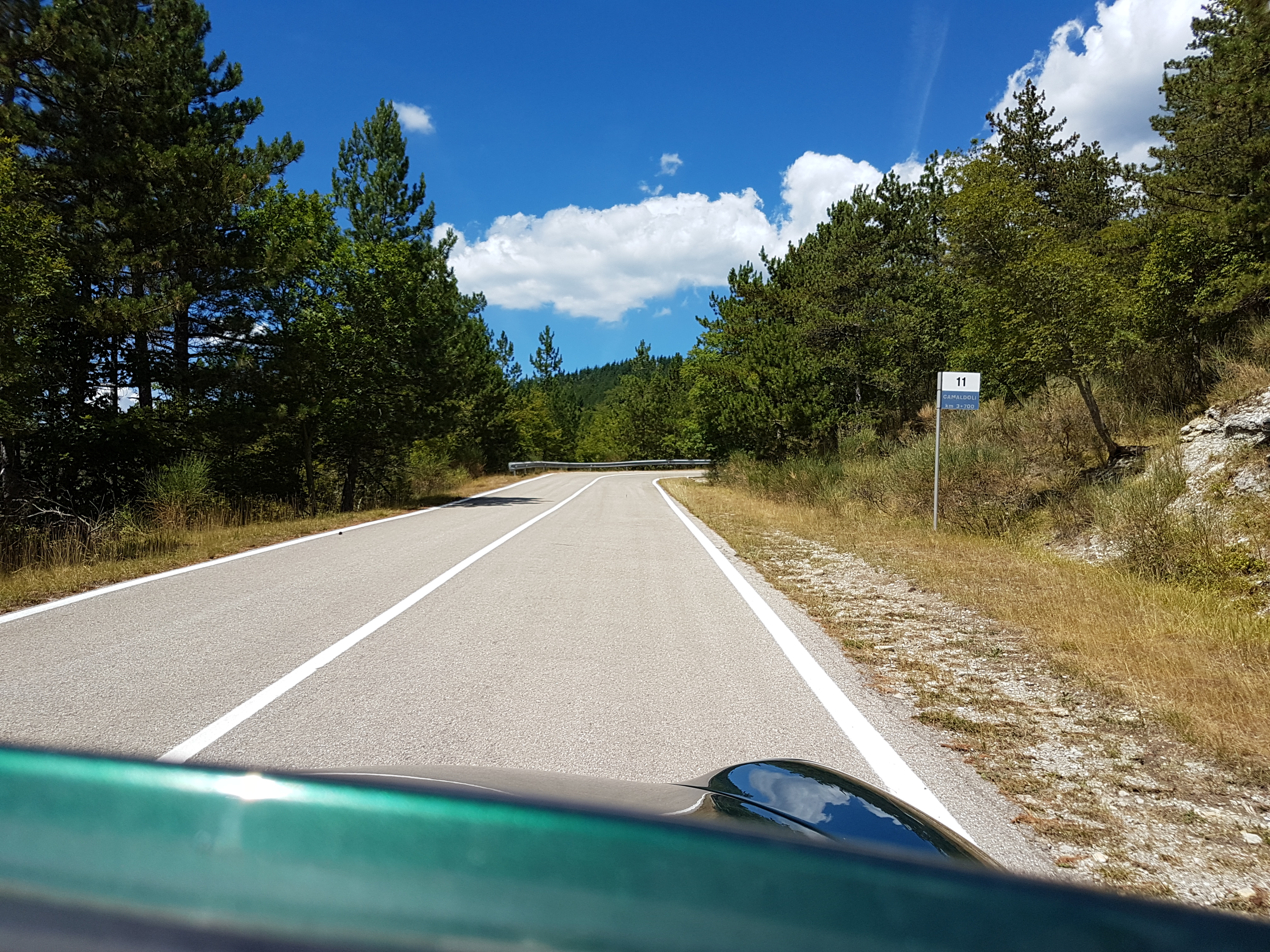
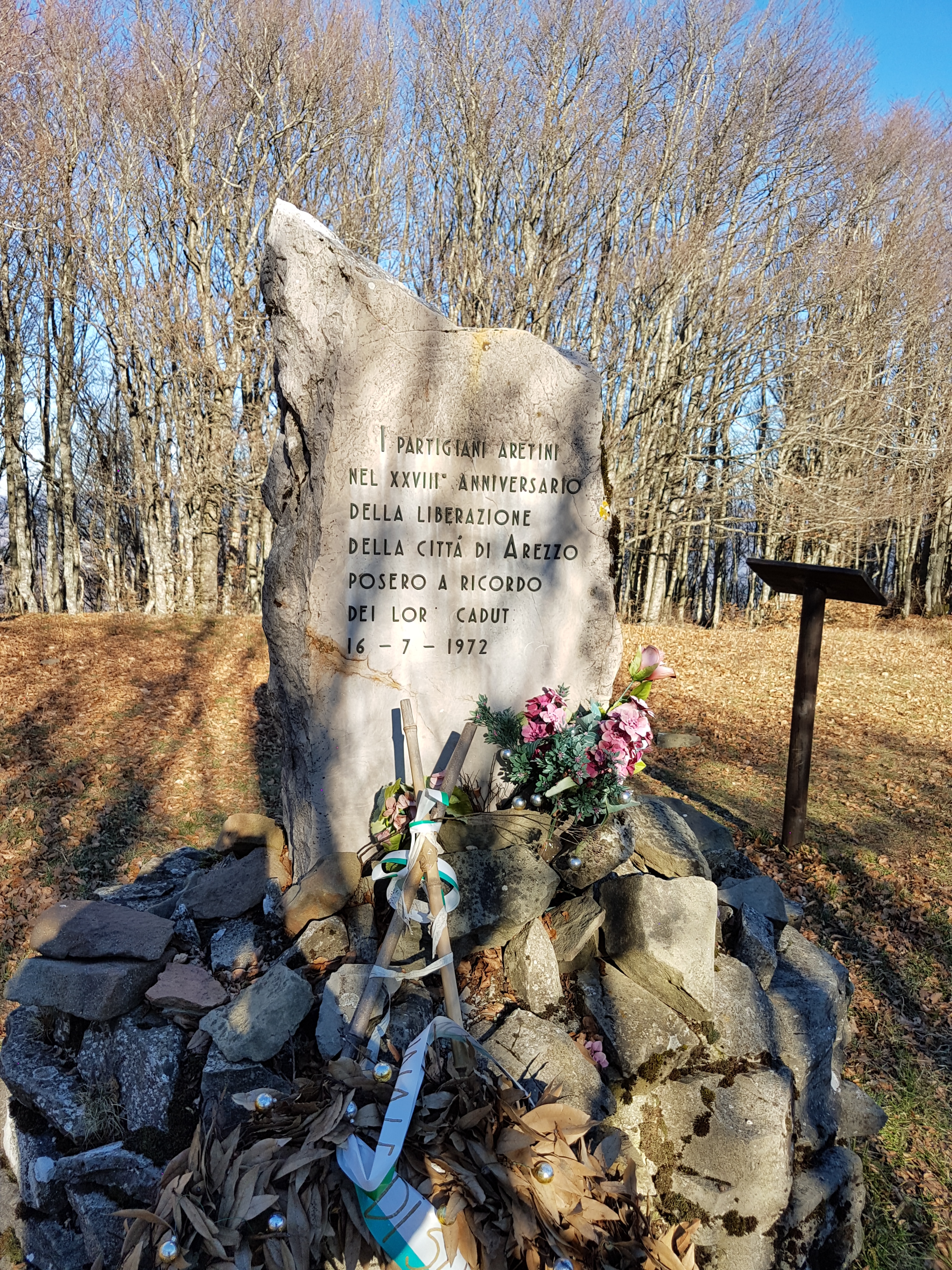
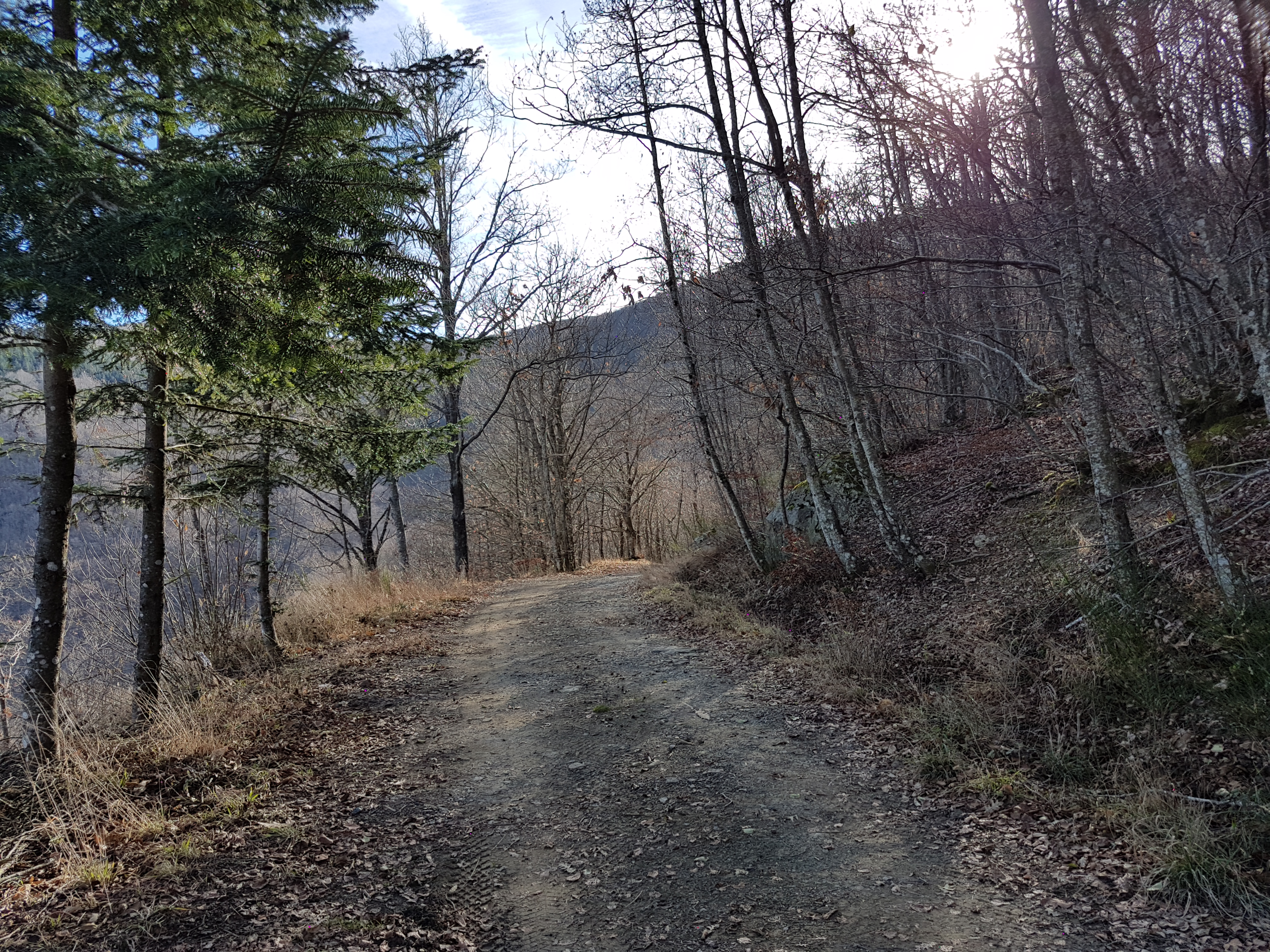
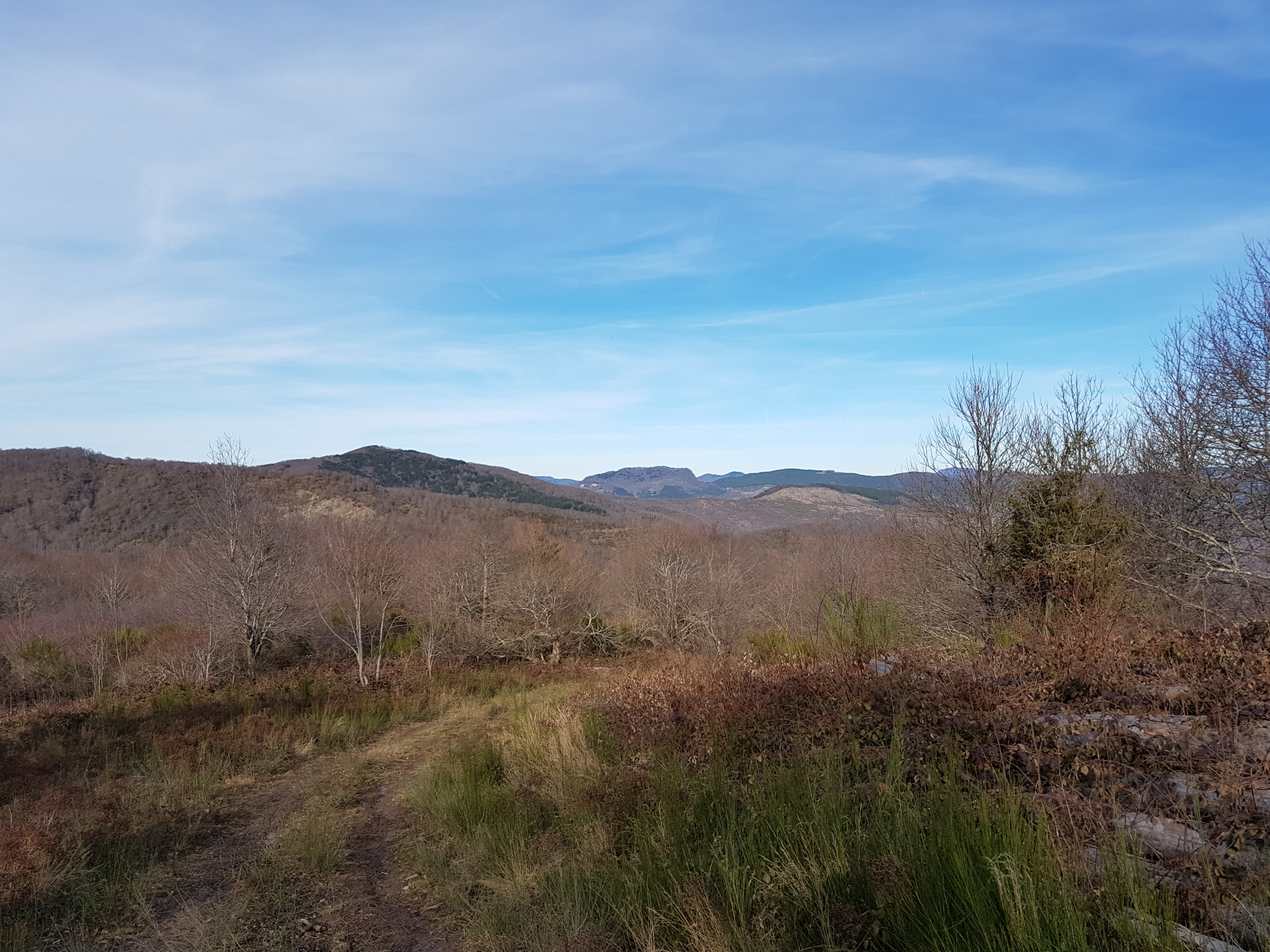
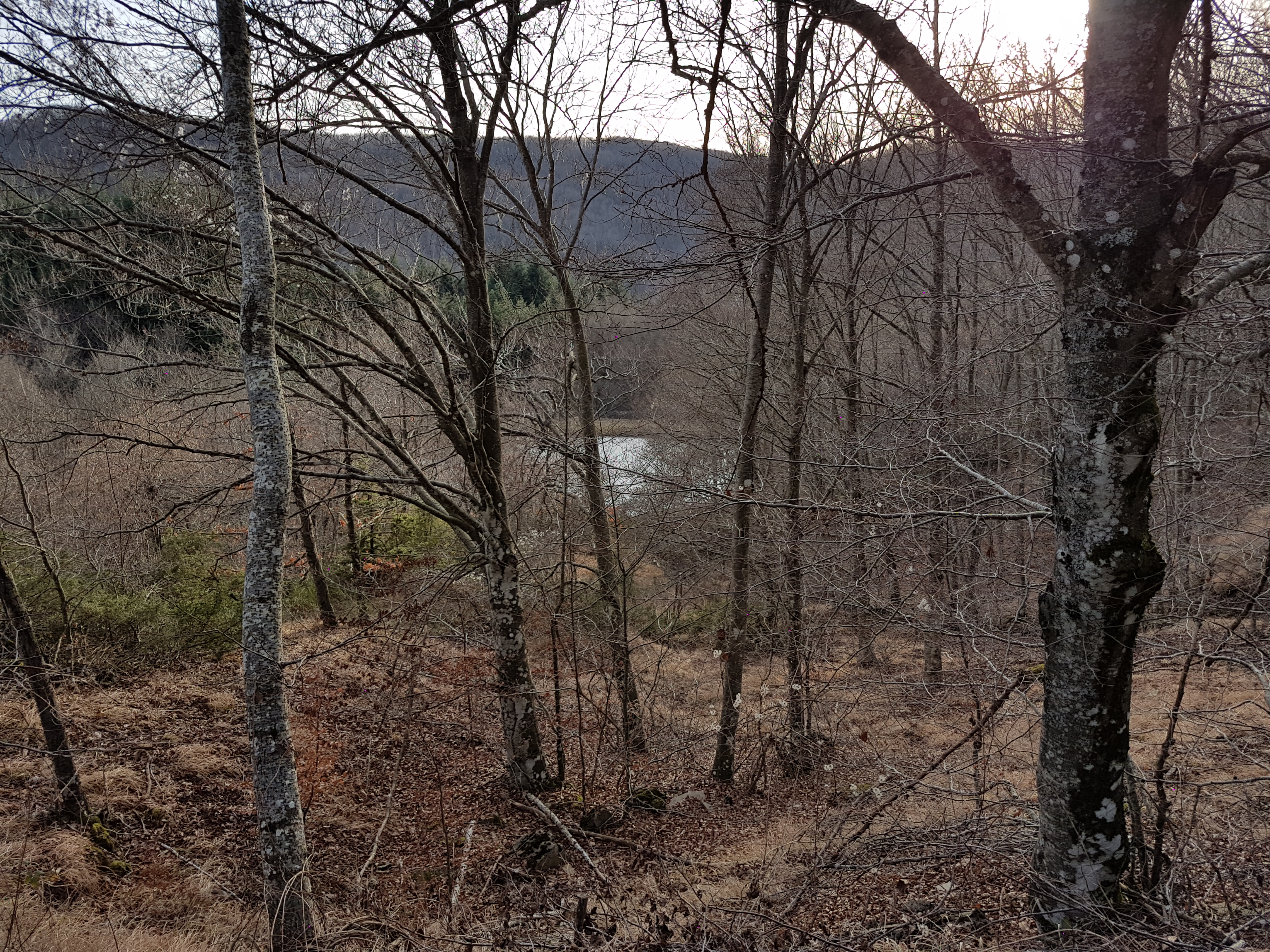
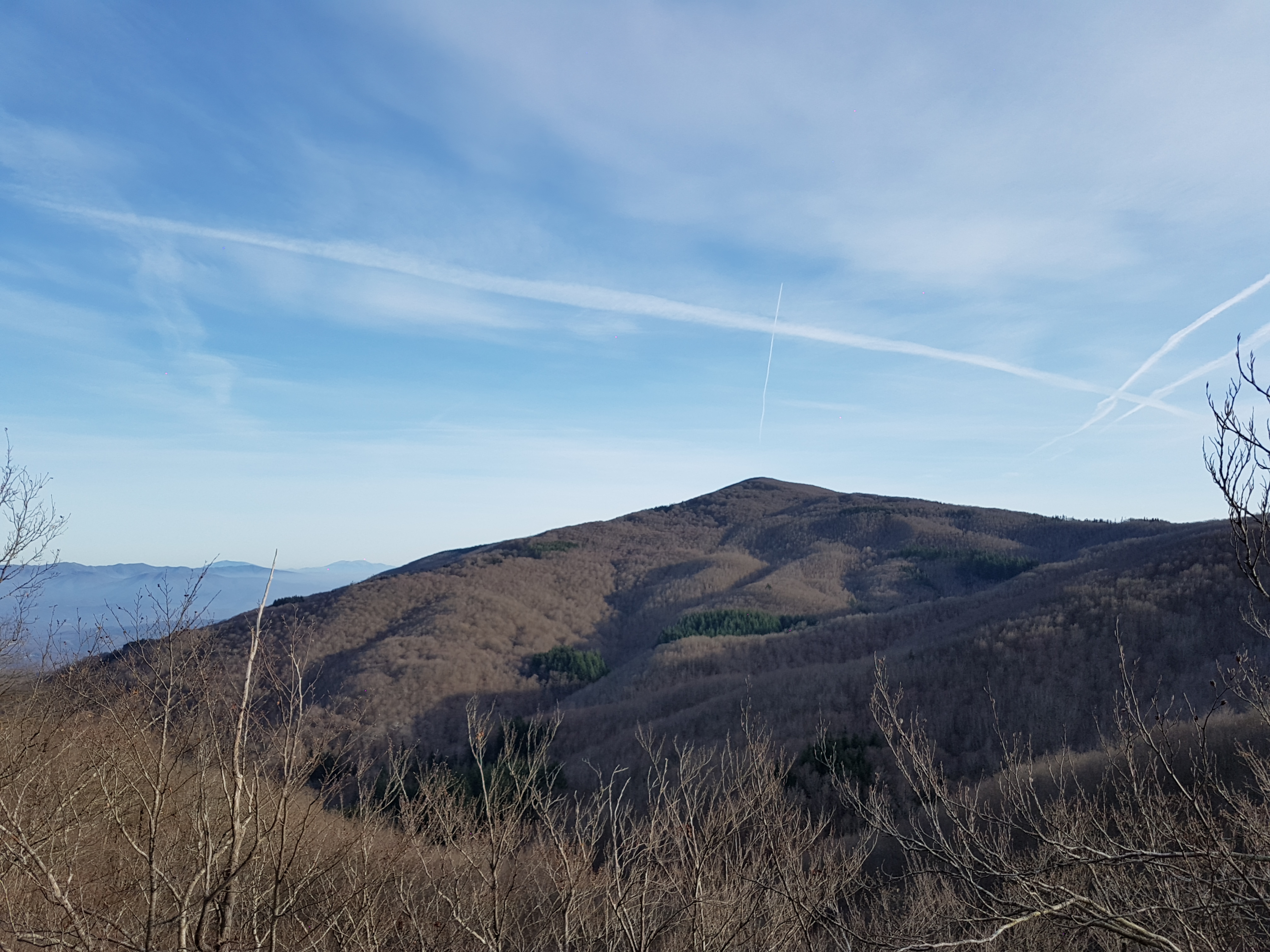
Nice bycicle route around lake Montedoglio

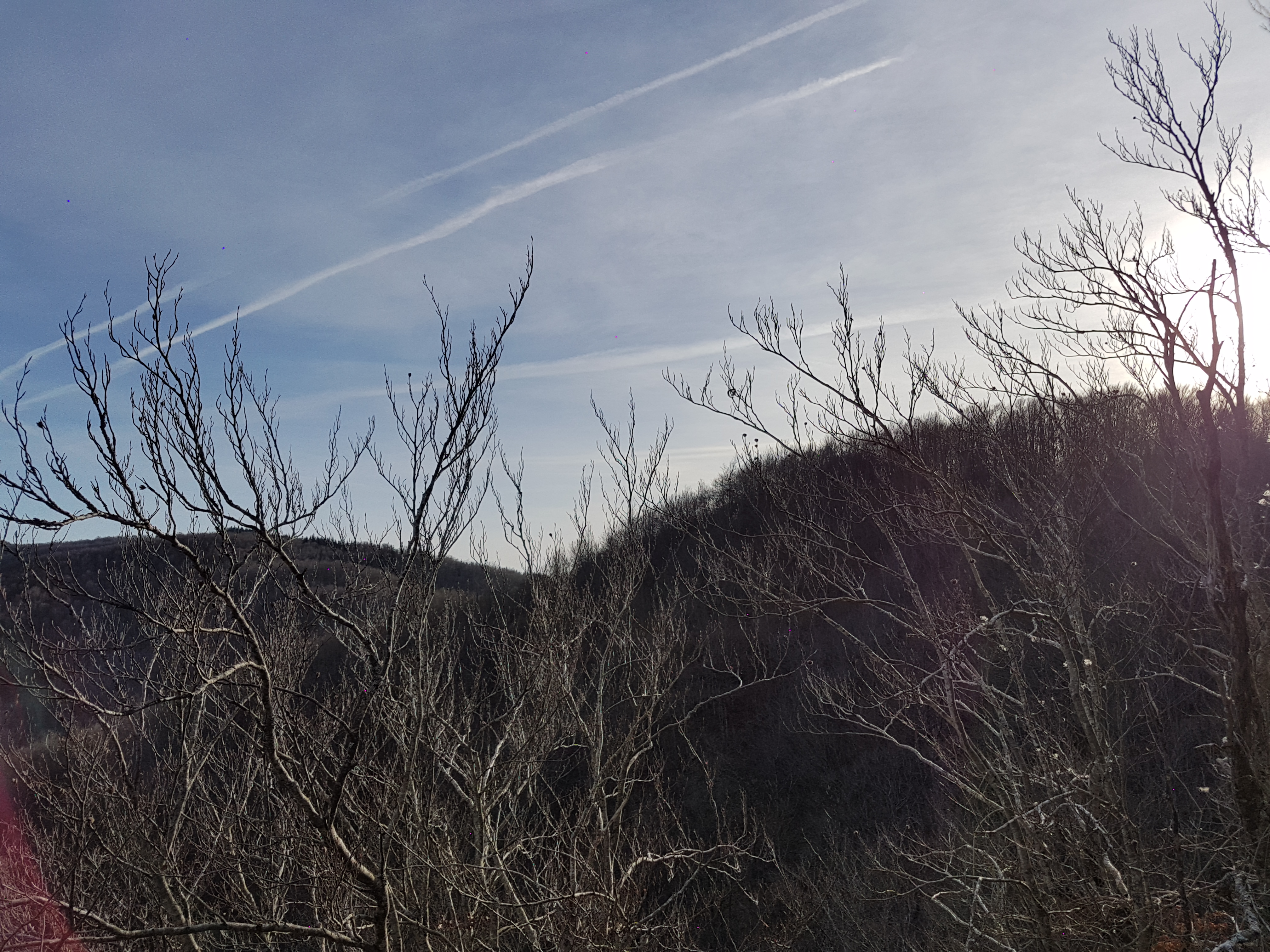
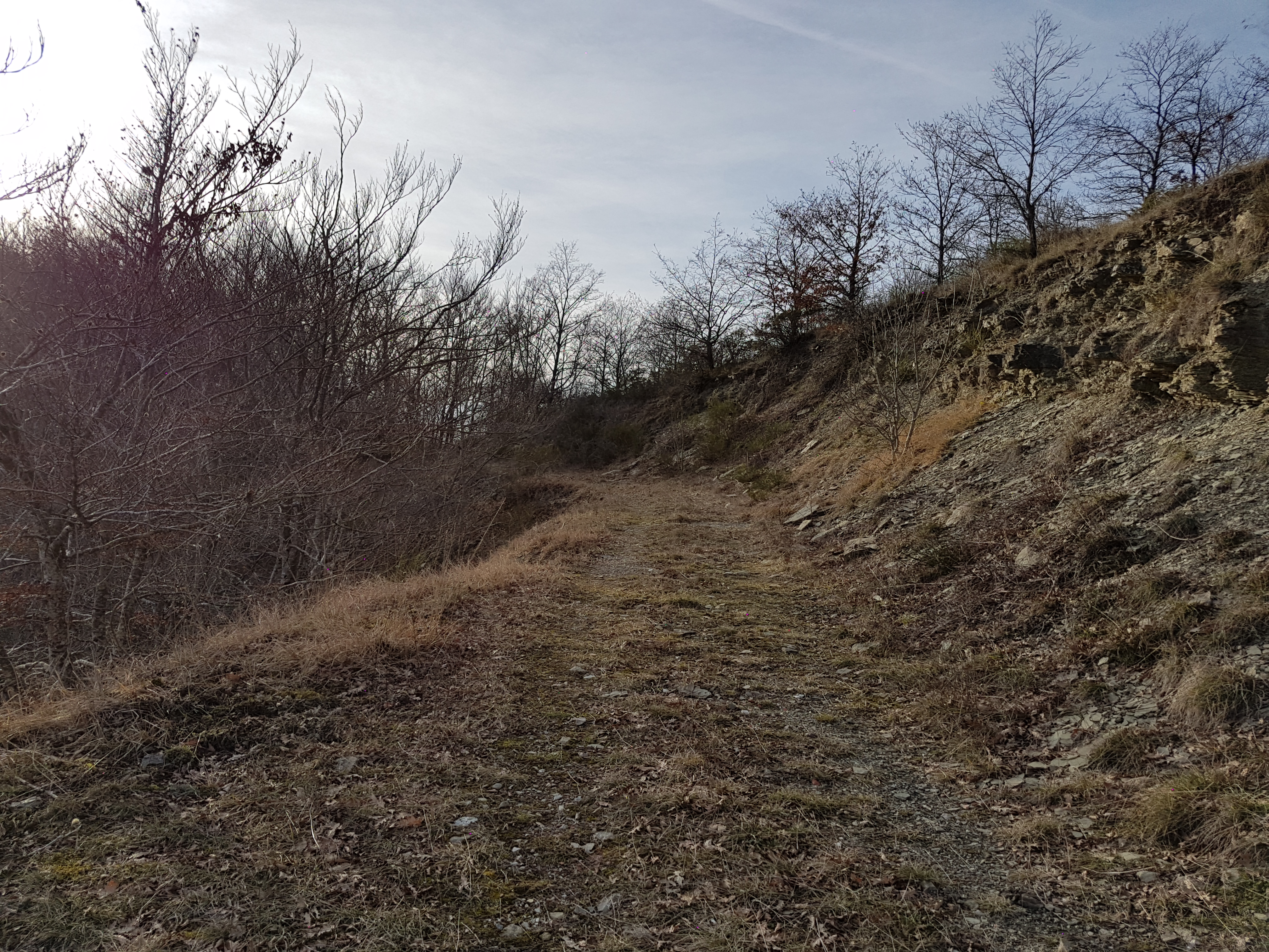
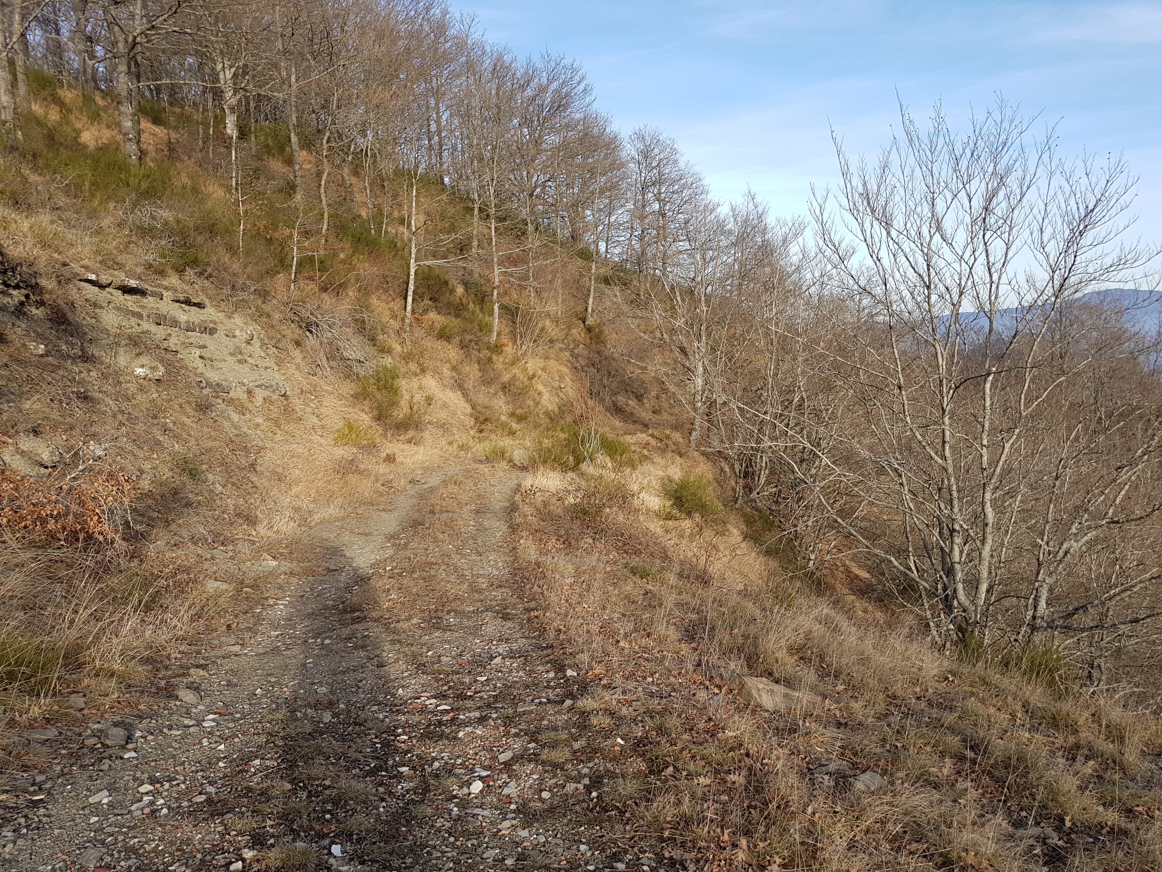
Starting near the dam, route goes around the lake through countryside, passing towns Sansepolcro and Anghiari.

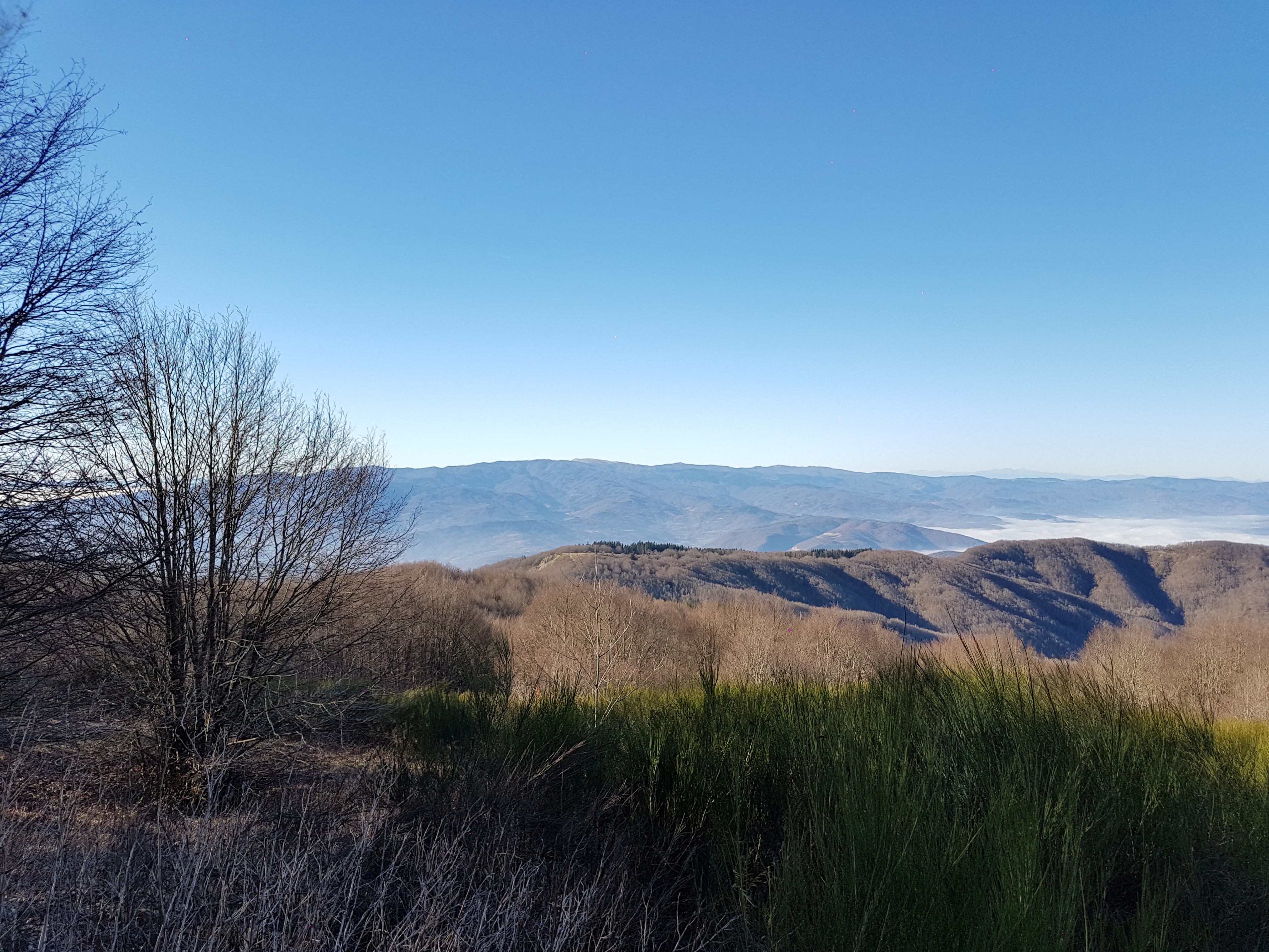
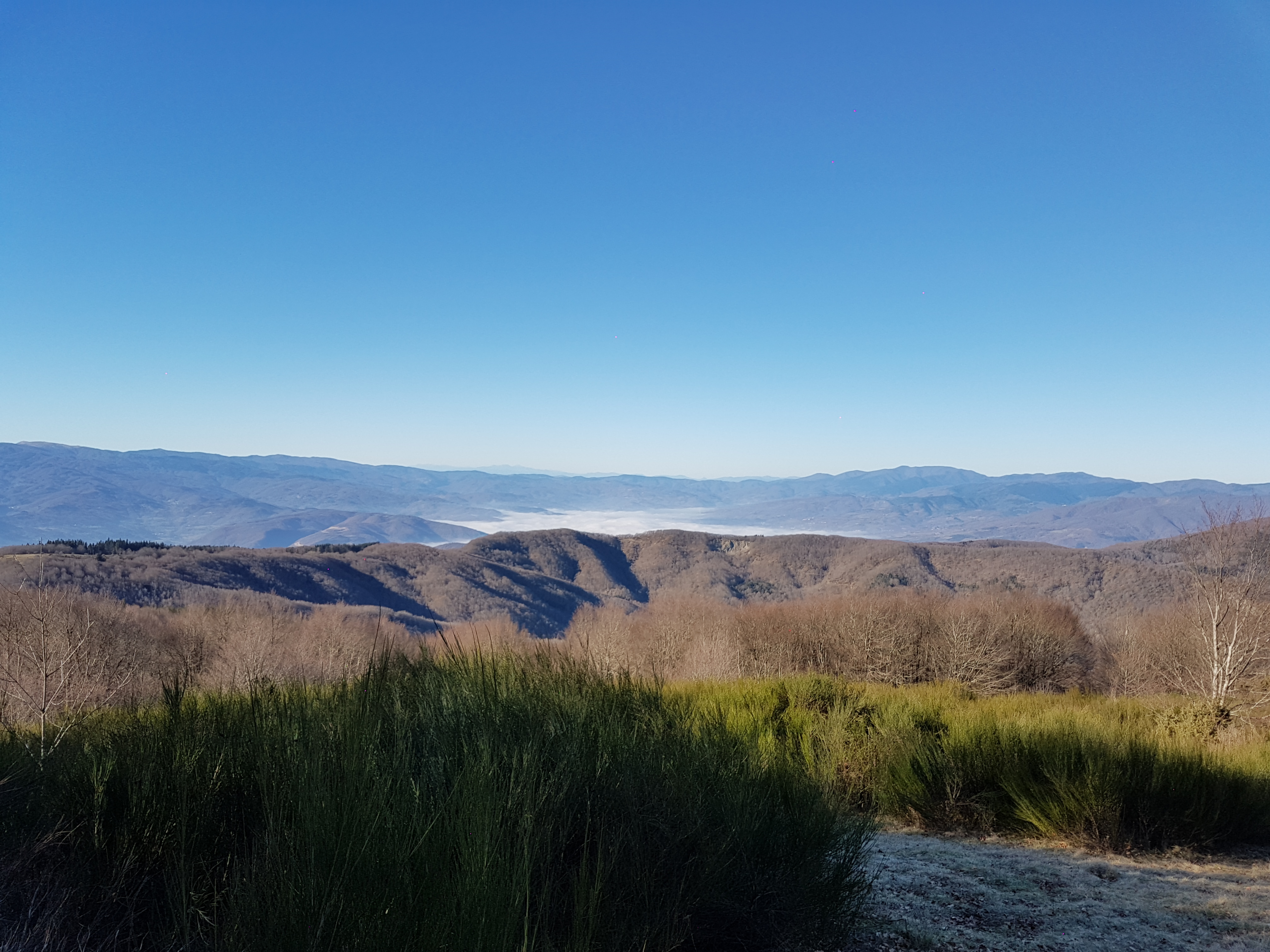
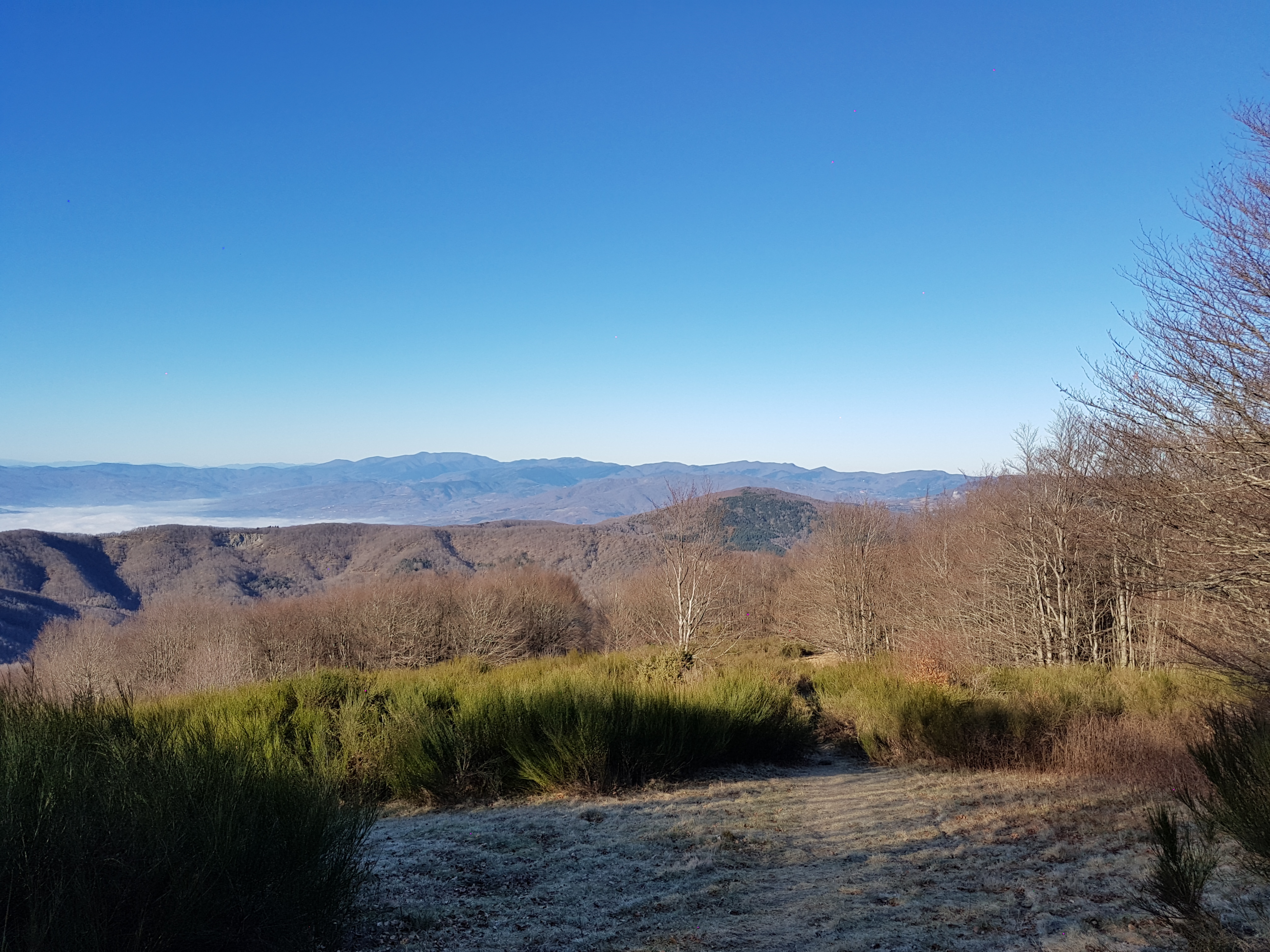
Route is not very demanding, but there are quite some up and down hills, so be prepared.

Leaflet | Data © OpenStreetMap contributors, Maps © OpenStreetMap contributors, CC-BY-SA, Imagery © Mapbox
Total distance: 38.72 km
Total climbing: 265 m
Total descent: -298 m
Average speed: 23.02 km/h
Download file: 2017-04-30%201107__20170430_1107.gpx

Relive video

Related Images:

Facebooktwitterredditpinterestlinkedinmailby feather

Introductionary ride/drive scenic roads nearby …

This nice and short introductionary route around nearby passes on really scenic roads. Very good for motorcycle or sports car.

On the route You cad do some sightseeing since You ride/drive through:

12
Leaflet | Data © OpenStreetMap contributors, Maps © OpenStreetMap contributors, CC-BY-SA, Imagery © Mapbox
20170727_12564020170727_14085620170727_14090120170727_14090320170727_14091120170727_14091520170727_14091720170727_14091820170727_14091920170727_14093420170727_14145320170727_145800
Total distance: 184.3 km
Total climbing: 3304 m
Total descent: -3329 m
Average speed: 59.75 km/h
Download file: 20170727.gpx

If You follow gpx track completly, there is some unpaved section, which can be avoided if You stay on SP67 instead of turning to SP124.

Related Images:

Facebooktwitterredditpinterestlinkedinmailby feather

27.12.2016 Alpe di Fagetta hike

Nice hike on top of the Fagetta Alps. Easy walk with great views on surounding valleys.

Leaflet | Data © OpenStreetMap contributors, Maps © OpenStreetMap contributors, CC-BY-SA, Imagery © Mapbox
Total distance: 5.78 km
Total climbing: 263 m
Total descent: -230 m
Average speed: 4.34 km/h
Download file: 2016-12-27.gpx

Read more from others …

Related Images:

Facebooktwitterredditpinterestlinkedinmailby feather

26.12.2016 Eremo della Casella hike

4
16
4
14
Leaflet | Data © OpenStreetMap contributors, Maps © OpenStreetMap contributors, CC-BY-SA, Imagery © Mapbox
20161226_11174220161226_11174920161226_12232420161226_12232720161226_12233220161226_12245020161226_12245720161226_12250120161226_12254520161226_12262620161226_12550620161226_12550820161226_12551220161226_13005120161226_13005520161226_13010120161226_13360420161226_13360720161226_13361220161226_13361520161226_13361920161226_13362120161226_13362320161226_13362520161226_13362720161226_13395920161226_13400120161226_13400320161226_13400820161226_14492220161226_14492620161226_14495320161226_14522520161226_14522920161226_14523120161226_15235320161226_16311120161226_163126
Total distance: 19.65 km
Total climbing: 697 m
Total descent: -671 m
Average speed: 4.59 km/h
Download file: 2016-12-26.gpx

Related Images:

Facebooktwitterredditpinterestlinkedinmailby feather

25.12.2016 Monte di Catenaia hike

Christmas hike on Monte di Catenaia hike

5
Leaflet | Data © OpenStreetMap contributors, Maps © OpenStreetMap contributors, CC-BY-SA, Imagery © Mapbox
20161225_14541420161225_14541720161225_14542220161225_14542520161225_15315520161225_145410
Total distance: 10.15 km
Total climbing: 80 m
Total descent: -446 m
Average speed: 4.65 km/h
Download file: 2016-12-25.gpx

Related Images:

Facebooktwitterredditpinterestlinkedinmailby feather